Mori Atlas logo
Park earthquake history

Review documented seismic events through a catalogued collection of epicentres and magnitudes.

Historical Earthquake Records and Seismic Data for Skuleskogen National Park in Sweden

Access a structured inventory of recorded earthquakes identified by proximity to the landscape of Skuleskogen National Park. This historical catalogue provides data on event dates, magnitudes, and recorded depths for seismic occurrences within the surrounding region. The dataset offers a transparent perspective on regional seismic patterns by tracing documented epicentres relative to the park boundaries of the Swedish High Coast.

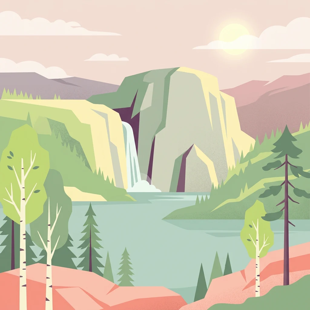
Illustration showing a waterfall flowing from a rocky cliff into a lake, surrounded by green pine and birch trees under a bright sky with scattered clouds

Coastal taiga forest with dramatic crevasses on the rebounding High Coast

Skuleskogen National Park

Skuleskogen National Park is a Swedish protected area in Västernorrland County along the Baltic Sea coast, forming the eastern portion of the Forest of Skule. Established in 1984 and expanded in 2009, the park covers 30.62 square kilometers of rugged terrain characterized by rocky peaks, deep crevasses, and dense coniferous forest. The park sits within the High Coast region, a UNESCO World Heritage Site renowned for the phenomenon of post-glacial rebound—the land here rises approximately 8 millimeters per year as it recovers from the weight of glacial ice that melted less than 10,000 years ago. The landscape features dramatic fracture valleys, steep cliffs, and coastal archipelago views, with the highest peak Slåttdalsberget rising 280 meters directly from the sea. The park supports diverse ecosystems including boreal taiga forest, rocky heathland, wetlands, and small lakes, home to notable species including Eurasian lynx and brown bear.

Location
Sweden
Park type
National park
Established
1984
Area
30.6 km²
Highest point
280 m
Skuleskogen National Park Protected Landscape

Explore Skuleskogen National Park events by depth and distance

Examine past earthquake observations around Skuleskogen National Park

Search earthquake history around Skuleskogen National Park, a 30.62 km² mixed-scope mountain park in Sweden with major waters; each result remains tied to its epicentre and documented through time, magnitude, depth, locality, source, and park separation. Proximity does not establish boundary occurrence or connect seismic causes and danger to its mountains, forests, rivers, wetlands, coast, beaches, and caves.

Sort by
Magnitude
Location

This page describes catalogued earthquakes associated with the park by epicentre location and distance. It does not establish causation, assess current danger, or predict future earthquakes.

No earthquake records match the current filters

Park atlas

Go beyond Skuleskogen National Park earthquake observations

Continue to more protected destinations beyond Skuleskogen National Park

Following the Skuleskogen National Park earthquake observations, continue to a separate set of protected destinations. The links do not indicate shared coastal forests, national park status, biodiversity, geology, seismic history, proximity, hazard conditions, risk, or comparable supporting records.
National parkVästerbotten County
92 km away#1 closest

North

Björnlandet National Park: Ancient Pine Forest & Dramatic Protected Landscape in Västerbotten County

Explore mapped boreal terrain and protected area boundaries.

Björnlandet National Park preserves an exceptional example of Sweden's ancient boreal forest, with pines exceeding 450 years in age. The protected landscape is dramatically shaped by steep ravines, cliff faces, and extensive boulder fields, showcasing the raw power of natural processes and fire history. This national park offers a unique opportunity for atlas-style exploration of its mapped terrain and geographic context within Västerbotten County.

Area
11 km²
Established
1991
IUCN
II
Relief
Mixed relief
Watercolor illustration of a landscape with green forests, a body of water, and rolling hills in the background
National parkFinland
208 km away#2 closest

Southeast

Lauhanvuori National Park: Finland's Protected Landscape and Geographic Identity

Mapped protected area within Finland's regional geography.

Delve into the protected landscape of Lauhanvuori National Park, a key national park in Finland. This atlas-focused entry details its geographic setting and mapped boundaries, offering structured insight into its protected area status and natural terrain. Understand how Lauhanvuori National Park contributes to Finland's broader conservation geography and landscape context.

Area
53 km²
Established
1982
IUCN
II
Visitors
21.7K annual
Watercolor illustration depicting a landscape with grassy fields, scattered trees, and a body of water
National parkFinland
214 km away#3 closest

Southeast

Kauhaneva-Pohjankangas National Park: Protected Landscape and Geographic Context in Finland

Mapped boundaries and regional terrain of a Finnish national park.

Discover Kauhaneva-Pohjankangas National Park, a key protected area in Finland, through a structured atlas lens. This detail page provides essential information on its geographic setting, mapped natural landscapes, and protected area status, offering a deep dive into the park's physical identity. Understand its unique terrain and its significance within the Nordic region's geography for focused exploration.

IUCN
II
Watercolor illustration of a lake surrounded by trees and distant hills with a soft sky
National parkGävleborg County
236 km away#4 closest

Southwest

Hamra National Park: Ancient Forests, Mires, and Protected Landscape in Gävleborg County

Discover pristine Swedish nature and mapped park boundaries.

Hamra National Park in Gävleborg County, Sweden, protects an extraordinary natural landscape. At its heart lies a distinct moraine hill adorned with some of central Sweden's oldest coniferous trees, some reaching 400 years. Surrounding this ancient forest is a vast, unbroken expanse of mire and wetland, a landscape preserved from drainage and modification. This park offers a profound insight into pristine ecosystems and geographic context, making it a key destination for atlas exploration of protected natural areas.

Area
13.83 km²
Established
1909
IUCN
II
Relief
Lowland
National parkTrøndelag
242 km away#5 closest

Northwest

Lierne National Park: A Protected Mountain and Wetland Wilderness in Trøndelag

Explore mapped boundaries, alpine terrain, and Scandinavian wilderness.

Lierne National Park is a prime example of Norway's protected mountain and wetland landscapes, situated in the Trøndelag region. This national park offers a detailed study of terrain shaped by glacial activity, featuring high peaks and expansive peat bogs. Its role in preserving habitats for large carnivores and the Arctic fox adds ecological depth to its geographic profile, providing valuable context for atlas-based discovery of protected areas.

Area
333 km²
Established
2004
IUCN
II
Relief
Mountain
Watercolor painting showing green forests, rolling hills, and distant mountains under a pale sky
National parkSweden
258 km away#6 closest

West

Sonfjället National Park: Mapped Alpine Terrain and Protected Landscape in Sweden

Explore the glacial geography and subalpine transition zones.

Sonfjället National Park is a key protected area in central Sweden, offering a unique glimpse into an alpine environment shaped by glacial forces. The park's landscape is characterized by the prominent Sånfjället mountain, steep glacial valleys, mires, and small lakes, showcasing raw, natural terrain. As a southern outpost for subalpine ecosystems, it presents a distinct ecological transition zone valuable for geographic discovery and understanding protected nature.

IUCN
II
National parkSouthwest Finland
About 269 km away#7 closest

Southeast

Bothnian Sea National Park: Southwest Finland's Coastal Protected Landscape

Mapped geography and regional protected area context.

Bothnian Sea National Park stands as a significant protected landscape situated within the extensive island formations of Southwest Finland's Archipelago Sea. This page provides an atlas-focused view of the national park, detailing its geographic spread, mapped boundaries, and its place within the regional context of Varsinais-Suomi. Understand the protected area's unique coastal identity and its contribution to the mapped natural terrain of southern Finland, facilitating structured discovery and geographic exploration.

Area
917 km²
Established
2011
IUCN
II
Visitors
79.4K annual
Watercolor painting of a lake surrounded by trees with a colorful sky.
National parkFinland
278 km away#8 closest

Southeast

Seitseminen National Park: Ancient Boreal Forests and Vast Mire Systems in Finland

Explore mapped terrain and protected wilderness landscapes.

Seitseminen National Park represents a significant protected area in western Finland, characterized by classic boreal forest ecosystems interspersed with extensive mire and bog landscapes. The park's geography includes the notable Seitsemisharju esker, contributing to its diverse terrain. As a sanctuary for ancient forests, including the historic Multiharju primeval forest, Seitseminen offers a unique focus for understanding Finnish protected wilderness and its mapped geographic features within the Nordic context.

Area
45.5 km²
Established
1982
IUCN
II
Visitors
42.3K annual
MoriAtlas Explorer

Continue Exploring Skuleskogen National Park's Geographic Atlas

Deepen your understanding of Skuleskogen National Park by exploring its specific geographic context within the High Coast region. Examine the mapped boundaries of this protected landscape, learn about its unique post-glacial rebound phenomena, and appreciate its rugged terrain through structured atlas data. MoriAtlas provides the geographic details to contextualize this significant Swedish national park and its place in the natural world.