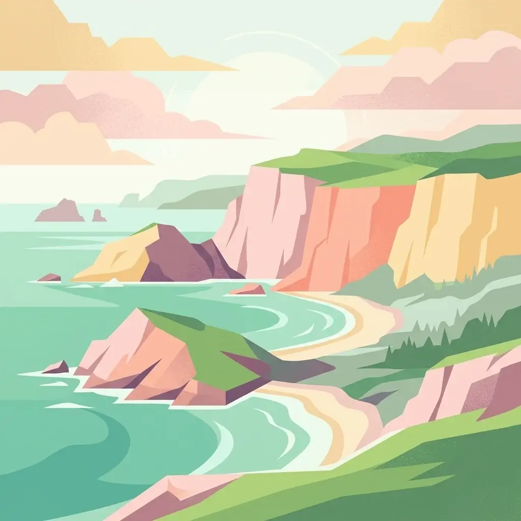
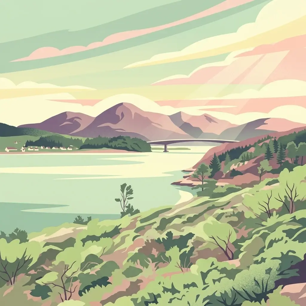
A vast seascape and mountain panorama across the northern Outer Hebrides, from Lewis peatlands to Harris mountains and North Uist machair.
South Lewis, Harris and North Uist National Scenic Area
South Lewis, Harris and North Uist is the largest national scenic area in Scotland, covering about 2,024 square kilometres of land and sea in the northern Outer Hebrides. It spans the mountainous south-west of Lewis, the whole of Harris, the scattered islands of the Sound of Harris, and the northern part of North Uist, uniting some of the most remote and visually dramatic landscapes in the country.
The designation recognises scenery of exceptional quality rather than a single theme, weaving together rocky Atlantic coastline, white sand machair beaches, towering mountains, sea lochs, blanket peatlands, and a richly indented sea area. Within it lie several Natura 2000 sites, machair grasslands, montane habitats, and one of the most varied marine and freshwater systems in Europe.
The area is the principal scenic counterpart to the Outer Hebrides' cultural landscape, shaped by crofting, Gaelic language and tradition, and a coastline repeatedly described as among the most spectacular in Europe. It was first defined in 1978 and redesignated under modern legislation in 2010, and remains a flagship example of Scotland's landscape-scale scenic protection.