
Rivers
Park geography
Spatial analysis of landscape features, river systems, and environmental classifications
Comprehensive Geographic Profile and Mapped Boundaries of South Luangwa National Park
Examine the detailed geographic layout of South Luangwa National Park within the Eastern Province of Zambia. This profile provides a structured view of mapped boundaries covering 9050 square kilometers, including key river systems like the Luangwa and Kapamba alongside various lagoons, wetlands, and savanna habitat zones.
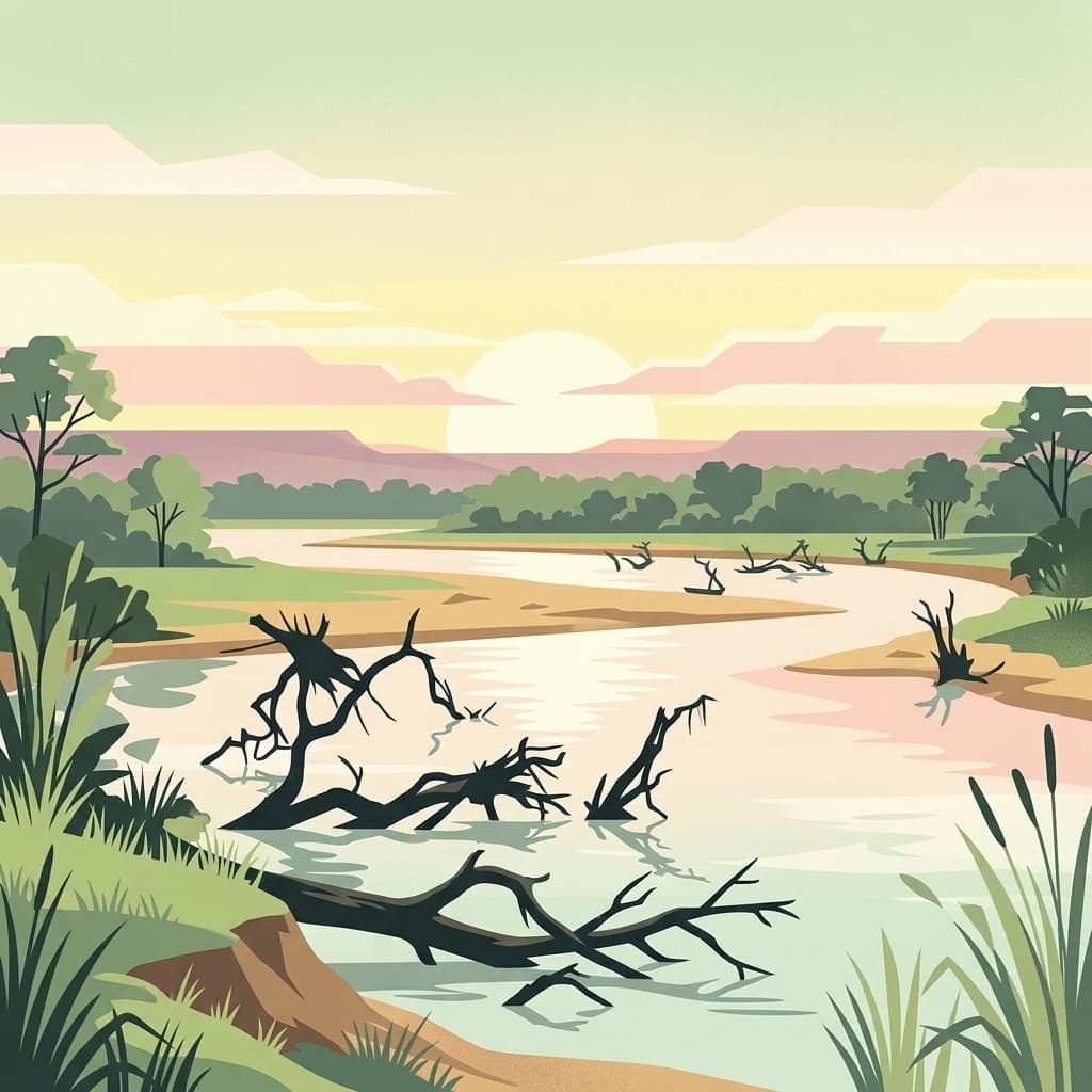
Zambia's premier wildlife wilderness along the Luangwa River valley
South Luangwa National Park
South Luangwa National Park is one of Africa's most significant protected wilderness areas, located in eastern Zambia along the Luangwa River valley. Established as a national park in 1972 after decades as a game reserve, the park covers 9,050 square kilometers of woodland savanna ecosystems that support over 60 mammal species and more than 400 bird species. The park's landscape is defined by the meandering Luangwa River and its network of lagoons, flanked by the steep Muchinga Escarpment to the west. This ancient river valley, situated at the southern terminus of the East African Rift, provides critical habitat for populations of African bush elephant, Rhodesian giraffe, African buffalo, and several endemic species including Cookson's wildebeest and Crawshay's zebra. The park holds particular significance as the birthplace of the photographic and walking safari, pioneered by conservationist Norman Carr in the 1950s.
- Location
- Zambia
- Park type
- National park
- Established
- 1972
- Area
- 9,050 km²
Location overview
Mapping recorded administrative regions and national territories
South Luangwa National Park Regional Geography and Location
South Luangwa National Park spans territories including Zambia, Saudi Arabia, American Samoa, and Eastern Province. Location profiles clarify national and regional placement within the global conservation network.
- Countries
- Saudi Arabia, Zambia
- Regions
- Eastern Province
- Primary location
- Zambia
Boundary and coordinates
Interactive boundary geometry and calculated geographic measurements
South Luangwa National Park Boundary Map and Spatial Extent
The mapped outline provides spatial context for the protected area and its surrounding terrain. Accompanying facts detail the recorded surface area, coordinate limits, and regional span.
- Boundary area
- 8,638.3 km²
- Boundary perimeter
- 625.4 km
- Northernmost point
- 12.3245° S
- Southernmost point
- 13.7784° S
- Easternmost point
- 32.1239° E
- Westernmost point
- 30.9875° E
- Geographic centre
- 13.0533° S, 31.5483° E
- North–south span
- 160.8 km
- East–west span
- 123.3 km
Terrain and natural features
Explore mixed relief classifications and recorded natural features
South Luangwa National Park Terrain and Natural Features
South Luangwa National Park features mixed relief classifications and numerous recorded rivers, streams, and wetlands. Linked feature cards supply names, types, measurements, and spatial relationships for each recorded entity.
Selected named natural features
Rivers
Kangala
Rivers
Lusangazi
Lakes
Waterhole
Rivers
Mutinondo
Rivers
Myawe
Environmental setting
Recorded savanna habitats, mixed relief, and tropical climate classifications
South Luangwa National Park Environmental Classifications and Physical Setting
Recorded landscape features, tropical climate zones, and savanna habitats provide complementary perspectives on the physical setting of South Luangwa National Park. These structured environmental classifications connect directly to related atlas destinations where available.
- Relief
- Mixed relief
- Climate
- Tropical
- Water
- Major water bodies
- Forest cover
- Mostly forested
- Seasonality
- Year-round
Landscape features
Valleys · Rivers · Lakes · Cliffs · Forest · Grassland · Wetland
Habitat types
Savanna · Tropical forest · Grassland · Wetland · Riverine habitat · Lacustrine habitat
Park atlas
Explore the broader geography of protected areas and compare neighboring national parks across Zambia's Luangwa Valley.
Explore Neighboring National Parks and Protected Areas Beyond South Luangwa National Park, Zambia
After exploring South Luangwa National Park, browse additional national parks and protected areas to understand the broader conservation geography of Zambia. View other parks within the Luangwa Valley and surrounding regions, comparing their unique ecosystems, wildlife populations, and landscape features for deeper atlas-style discovery.
National parkZambia
7.1 km away#1 closest
Northeast

Luambe National Park: Detailed Geographic and Protected Area Atlas Information
Mapped landscape context within Zambia's natural regions.
This section provides an in-depth look at Luambe National Park, detailing its role as a protected area within the diverse geography of Zambia. Users can explore its mapped boundaries and understand its significance within the country's atlas of natural landscapes. The focus is on providing a concrete geographic perspective, essential for understanding how this national park fits into the regional conservation and landscape context of southern Africa.
- Area
- 300 km²
- IUCN
- II
- Relief
- Upland
- Climate
- Tropical
National parkMuchinga Province
22 km away#2 closest
Northeast
North Luangwa National Park: National Park Protected Landscape and Regional Geography
Mapped boundaries and geographic context within Muchinga Province.
North Luangwa National Park is a designated national park offering critical insights into Zambia's protected landscapes. This page provides an atlas-driven view of its geographic scope, emphasizing its mapped boundaries and its position within Muchinga Province. Explore the fundamental geography and protected area context that defines North Luangwa National Park for structured landscape discovery.
- Area
- 4,636 km²
- Established
- 1972
- IUCN
- II
- Relief
- Mixed relief
National parkZambia
28 km away#3 closest
East
Lukusuzi National Park: Zambia's Protected National Park Geographic Context
Mapped protected area and regional landscape identity for Lukusuzi.
Gain detailed insights into Lukusuzi National Park, a key protected area in Zambia, through its geographic setting and mapped boundaries. This page provides essential context for understanding the park's landscape character and its significance within the national park atlas. Explore the fundamental protected-area geography of this distinct Zambian natural landscape.
- IUCN
- II
- Access
- Access unknown
- Scope
- Terrestrial
National parkMuchinga Province
About 75 km away#4 closest
Northwest
Lavushi Manda National Park: Zambian National Park with Mapped Protected Boundaries
Discover its regional geography and landscape context.
Lavushi Manda National Park represents a distinct protected landscape within Muchinga Province, Zambia. This page provides detailed insights into its geographic identity, mapped park boundaries, and its placement within the broader regional terrain. Utilize this resource for structured atlas exploration of the park's natural context and its significance as a conservation area, offering a foundation for understanding its environmental setting.
- Area
- 1,500 km²
- Established
- 1972
- IUCN
- II
- Relief
- Mixed relief
National parkMalawi
About 113 km away#5 closest
East

Kasungu National Park: Protected Landscape and Geographic Atlas of Central Malawi
Explore Miombo woodlands and dambo grasslands across its mapped terrain.
Kasungu National Park is a key protected area in Malawi, offering insights into the geography of Central Malawi's savanna landscapes. This national park, covering over 2,300 square kilometres, is defined by its characteristic Miombo woodland interspersed with dambo grasslands and riverine habitats. Its location near the Zambian border provides a critical conservation corridor, making it an important entity for understanding regional protected land distribution and landscape ecology within the atlas.
- Area
- 2,316 km²
- Established
- 1970
- IUCN
- II
- Relief
- Mixed relief
National parkCentral Province
About 124 km away#6 closest
West
Kasanka National Park: National Park, Central Province, Zambia - Atlas and Geography
Explore protected landscape boundaries and regional context
Kasanka National Park is a vital protected area situated in Zambia's Central Province. This entry provides detailed geographic context, focusing on its mapped boundaries and its significance as a national park within the larger atlas of protected lands. Users can explore the terrain and natural landscape characteristics that define this specific conservation area and its regional setting.
- Area
- 390 km²
- IUCN
- II
- Relief
- Lowland
- Scope
- Terrestrial
National parkNorthern Province
About 172 km away#7 closest
Northwest
Isangano National Park: Exploring Its Protected Landscape and Geographic Identity in Northern Province
Discover the mapped boundaries and regional context of this national park.
Isangano National Park stands as a protected national park within the vast geographic expanse of Zambia's Northern Province. This dedicated entry provides critical context for understanding the park's role as a conservation landscape, detailing its physical geography and its position within regional atlas data. Explore the mapped outlines and natural terrain features that define Isangano National Park, offering a foundational view for broader geographic exploration and protected-area research.
- Area
- 840 km²
- Established
- 1972
- Relief
- Lowland
- Climate
- Tropical
National parkLusaka Province
198 km away#8 closest
Southwest
Lower Zambezi National Park
Lusaka Province National Park Landscape Context
Lower Zambezi National Park, in Lusaka Province, Zambia. Landscapes: rivers, cliffs, and wetlands.
- Area
- 4,092 km²
- Established
- 1983
- IUCN
- II
- Relief
- Mixed relief
MoriAtlas Explorer
Continue Exploring South Luangwa National Park's Protected Landscape and Zambian Geography
Deepen your understanding of South Luangwa National Park by examining its precise mapped boundaries and unique role within Zambia's protected area network. This detailed view supports structured exploration of its landscape context and regional geographic significance, providing valuable insights for any atlas-focused discovery of Southern Africa's natural terrain.
Browse next
Global natural geography
Explore related park routes
Explore MoriAtlas Global ParksBrowse All MoriAtlas ParksGlobal Park Map DiscoveryMoriAtlas: Browse All CountriesBrowse All MoriAtlas ContinentsNational Park Environment AtlasGrand Canyon National Park AtlasYellowstone National Park AtlasYosemite National Park Atlas and GeographySerengeti National Park AtlasGalápagos National Park Protected LandscapeBanff National Park Geography and AtlasKruger National Park Atlas EntryExplore Uluru-Kata Tjuta National Park GeographyPlitvice Lakes National Park AtlasFiordland National Park Protected LandscapeGreat Smoky Mountains National Park AtlasZion National Park Protected Landscape AtlasAfghanistan National Parks and Protected AreasAlbania National Parks and Protected AreasAlgeria National Parks and Protected AreasAmerican Samoa National Parks and Protected AreasAndorra National Parks and Protected AreasAngola National Parks and Protected AreasAntarctica National Parks and Protected AreasAntigua and Barbuda Park List