Mori Atlas logo
Park earthquake history

Review documented earthquake data including magnitude, epicentre location, and proximity metrics.

Historical Catalogue of Recorded Seismic Events Near Te Ārai Regional Park in Auckland Region

Explore this structured collection of historical earthquake records identified within the geographic vicinity of Te Ārai Regional Park. Each entry provides verified data points such as event magnitude, depth, and calculated distance from the park landscape, offering a detailed resource for studying regional seismic history. This catalogue aggregates publicly available information to provide a clear view of past activity surrounding this coastal protected area.

Related tags

coastal parksand dunessurfingregional parkNorth Island

A coastal Auckland park defined by sweeping sand dunes, endangered wildlife, and surf-reaching beaches.

Te Ārai Regional Park

Te Ārai Regional Park is a regional park on the northern coastline of Auckland, on New Zealand's North Island. Owned and operated by Auckland Council, the park extends as a long stretch of coast in the Rodney local board area, reaching from near the northernmost edge of the Auckland Region south toward the Poutawa Stream and bordered inland by the Mangawhai Forest. The defining landscape feature of Te Ārai is its extensive system of sand dunes, the largest dune system in the Auckland Region. These dunes give the park a distinctive coastal character that combines wide sandy beaches, dune-stabilising pine forest, and exposed headland. An 85 metre headland, also known as Te Arai, rises above the shoreline within the park boundaries. Beyond its scenery, Te Ārai is recognised for its biodiversity importance. It is one of the few remaining breeding areas for the New Zealand fairy tern, and the endangered katipō spider is found among the dunes. The combination of dune ecology, threatened species, surf beaches, and connection to the long-distance Te Araroa trail makes Te Ārai a meaningful coastal conservation and recreation area in northern Auckland.

Location
New Zealand
Park type
Regional park
Established
2008
Highest point
85 m
Te Ārai Regional Park Map and Geography

Search Te Ārai Regional Park events by depth and distance

Explore historical earthquake observations near Te Ārai Regional Park

Te Ārai Regional Park is a subtropical New Zealand lowland of coast, beach, dunes, and hills reaching 85 metres. Examine nearby earthquakes through their event-level source facts and calculated distance, while keeping geographic association separate from claims about dune effects, boundary crossing, or future risk.

Sort by
Magnitude
Location

This page describes catalogued earthquakes associated with the park by epicentre location and distance. It does not establish causation, assess current danger, or predict future earthquakes.

No earthquake records match the current filters

Park atlas

Continue after Te Ārai Regional Park earthquake records

Discover more protected destinations beyond Te Ārai Regional Park

Move next from Auckland’s sweeping dunes and wildlife-rich coast to a standalone set of protected destinations. The links do not signal shared coastal form, regional status, seismic setting, geographic proximity, or equivalent evidence.
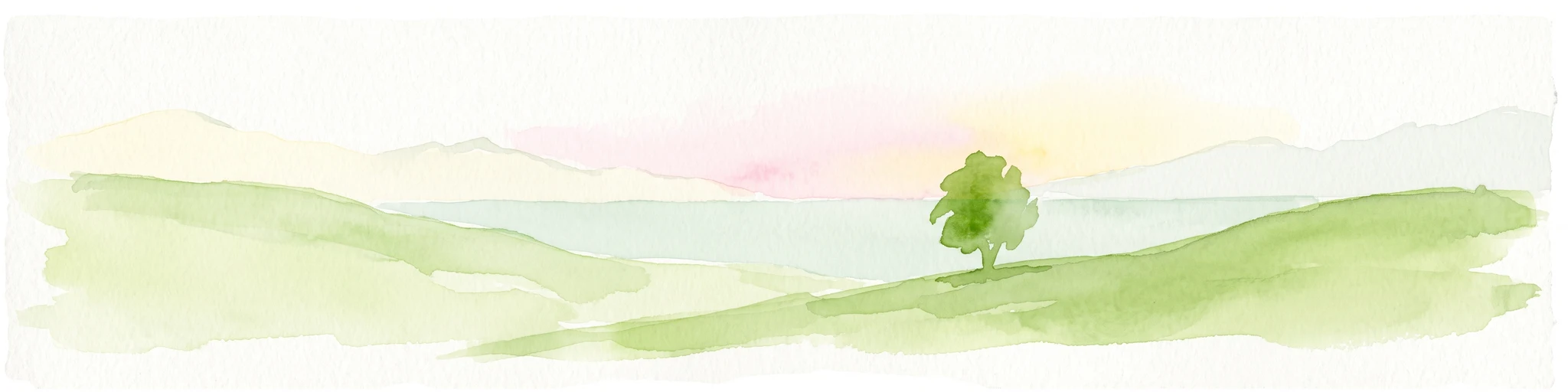
A watercolor painting showing a soft, bright landscape with green grasses and wildflowers on both sides of a calm, pale blue body of water, with a green coastline in the distance.
Marine protected areaNew Zealand
10 km away#1 closest

Southeast

Cape Rodney-Okakari Point Marine Reserve: New Zealand Marine Protected Area Geography

Mapped coastal boundaries and marine ecosystem terrain

Delve into the geography of Cape Rodney-Okakari Point Marine Reserve, where protected waters meet a complex interface of greywacke bedrock and sandy substrates. This assessment highlights the ecological transition from exposed rocky headlands to sheltered Whangateau Harbour, illustrating the structural depth of New Zealand's foundational marine site through its diverse invertebrate and fish habitats.

Area
5.5 km²
Established
1975
IUCN
Ia
Visitors
200K annual
A watercolor illustration of a soft green hilly landscape with distant peaks against a white background.
Nature reserveNew Zealand
About 23 km away#2 closest

North

Hen and Chicken Islands Nature Reserve: Mapped Geography and Protected Island Terrain

Archipelago sanctuary and volcanic landscape offshore of New Zealand

Explore the geographic structure of the Hen and Chicken Islands, an uninhabited nature reserve that serves as a vital predator-free sanctuary. The archipelago displays varied volcanic terrain, from the dramatic central ridge of Hen Island to the rugged rocky reefs of the Marotiri islets, offering a clear window into the ecological conservation landscapes of the Northland region.

Area
8.44 km²
Established
1908
Relief
Highland
Climate
Subtropical
Regional parkAuckland Region
34 km away#3 closest

South

Te Muri Regional Park: Mapped Coastal Peninsula and Estuarine Geography in Auckland

Protected native forest and tidal estuary landscapes

Te Muri Regional Park presents a unique peninsular landscape situated between the Puhoi River and Te Muri O Tarariki Stream in Auckland. This protected area showcases a complex interface between native coastal forest and tidal ecosystems, offering clear mapped boundaries that connect to the wider Hauraki Gulf coastal belt. Explore the topographical transition from sea level estuaries to rolling hill country.

Area
4.44 km²
Established
2010
Relief
Upland
Scope
Terrestrial
A soft watercolor illustration showing the low-lying shape of Motuora Island surrounded by calm water, with a distant hilly coastline in the background.
Nature reserveNorth Island
About 35 km away#4 closest

South

Motuora Nature Reserve: Protected Coastal Island Geography and Restoration Map

Predator-free ecological sanctuary in the Hauraki Gulf

Motuora occupies a key position in the Hauraki Gulf, offering a well-mapped look at coastal island restoration in New Zealand. This protected area features a regenerated forest interior and cliff-edged terrain, serving as an important mainland-island site for avian conservation, including kiwi and petrel colonies.

Area
0.8 km²
Established
1965
Relief
Lowland
Climate
Subtropical
Regional parkAuckland Region
36 km away#5 closest

South

Wenderholm Regional Park: Coastal Forest and Estuary Geography in the Auckland Region

Mapped protected landscapes of a coastal New Zealand peninsula

Situated on a narrow peninsula north of Auckland, Wenderholm Regional Park offers a compact study in diverse coastal terrain. The park encompasses the forested Maungatauhoro headland, the tidal Puhoi sandspit, and riverine boundaries that create a distinct protected environment. Since its 1965 founding, the area has become a haven for native bird restoration and coastal vegetation, providing a unique vantage point across the Hauraki Gulf.

Area
1.35 km²
Established
1965
Relief
Mixed relief
Climate
Temperate
Regional parkAuckland Region
47 km away#6 closest

Southwest

Te Rau Pūriri Regional Park: Geography and Protected Land Overview for Auckland Region

Coastal harbour landscape and native forest recovery zones

Te Rau Pūriri Regional Park occupies a strategic position on the South Kaipara Head, serving as a protected corridor between agricultural land and the expansive Kaipara Harbour. The park serves as an atlas-worthy example of ecological transition, featuring sandy bays, eucalyptus stands, and native pūriri forests that provide habitat stability within the wider Auckland coastal geography.

Area
2.49 km²
Established
2006
Relief
Lowland
Climate
Temperate
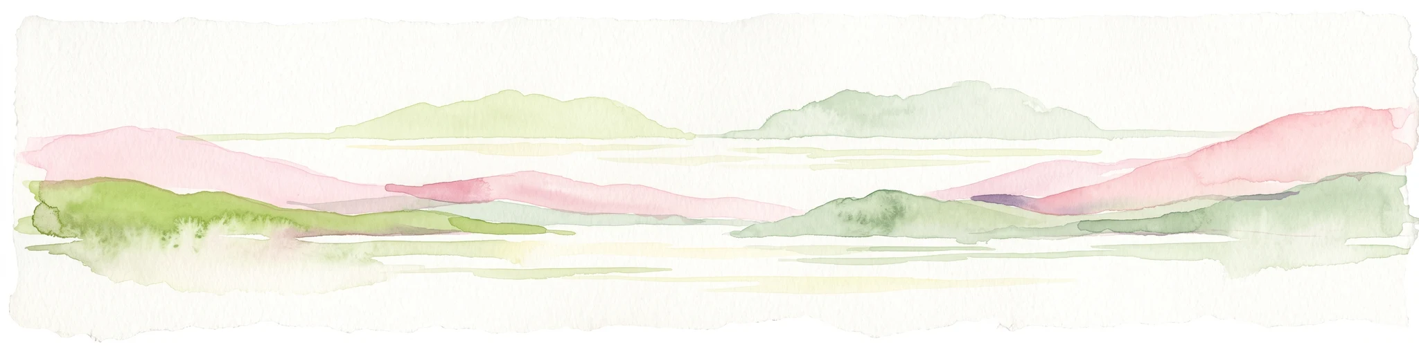
A pale, minimalist watercolor painting depicting soft green and pink hilly island silhouettes rising from a calm, white-toned sea.
Marine protected areaNew Zealand
61 km away#7 closest

North

Poor Knights Islands Marine Reserve: Geography and Marine Protected Area Atlas

Exploring coastal cliffs and underwater volcanic terrain

The Poor Knights Islands Marine Reserve encompasses a protected 1,890 hectare marine environment renowned for its steep underwater walls and tunnel systems. Located off the coast of New Zealand, this reserve serves as a critical study area for marine conservation and ecosystem recovery. Explore the geological features, including the Northern Arch and rugged offshore rock stacks, which distinguish this maritime landscape.

Area
18.9 km²
Established
1981
Access
Access unknown
Scope
Marine
Nature reserveNew Zealand
About 66 km away#8 closest

Northwest

Waro Limestone Scenic Reserve: Karst Landscapes and Cultural Heritage in Northland, New Zealand

A study in geological formations and industrial history.

Waro Limestone Scenic Reserve offers a concentrated look at Northland geography, featuring vertical limestone outcrops and a flooded quarry set within rural farmland. As a protected nature reserve, it serves as a site of significant Māori cultural heritage while also preserving remnants of early New Zealand industrial activity, such as coal mining and lime extraction, which shaped the surrounding terrain.

Relief
Upland
Climate
Subtropical
Scope
Terrestrial
Water
Minor water
MoriAtlas Explorer

Explore the Coastal Geography and Protected Landscapes of Te Ārai Regional Park

Deepen your understanding of northern Auckland's coastal terrain by examining the protected boundaries and natural features of Te Ārai Regional Park. MoriAtlas provides detailed insight into the dune ecosystems and topographic variety that define this significant regional coastal corridor.