Mori Atlas logo
Park earthquake history

A chronological collection of documented earthquake events mapped by epicentre distance

Recorded Seismic Activity and Earthquake History for Tourbières et lacs de la montagne jurassienne

This historical catalogue provides a filtered view of seismic events documented in the vicinity of Tourbières et lacs de la montagne jurassienne. Each record highlights key data including event timing, magnitude, and precise distance relative to the protected wetland complex. The information presents a technical overview of regional seismic history as derived from external monitoring datasets without indicating future potential or hazard.

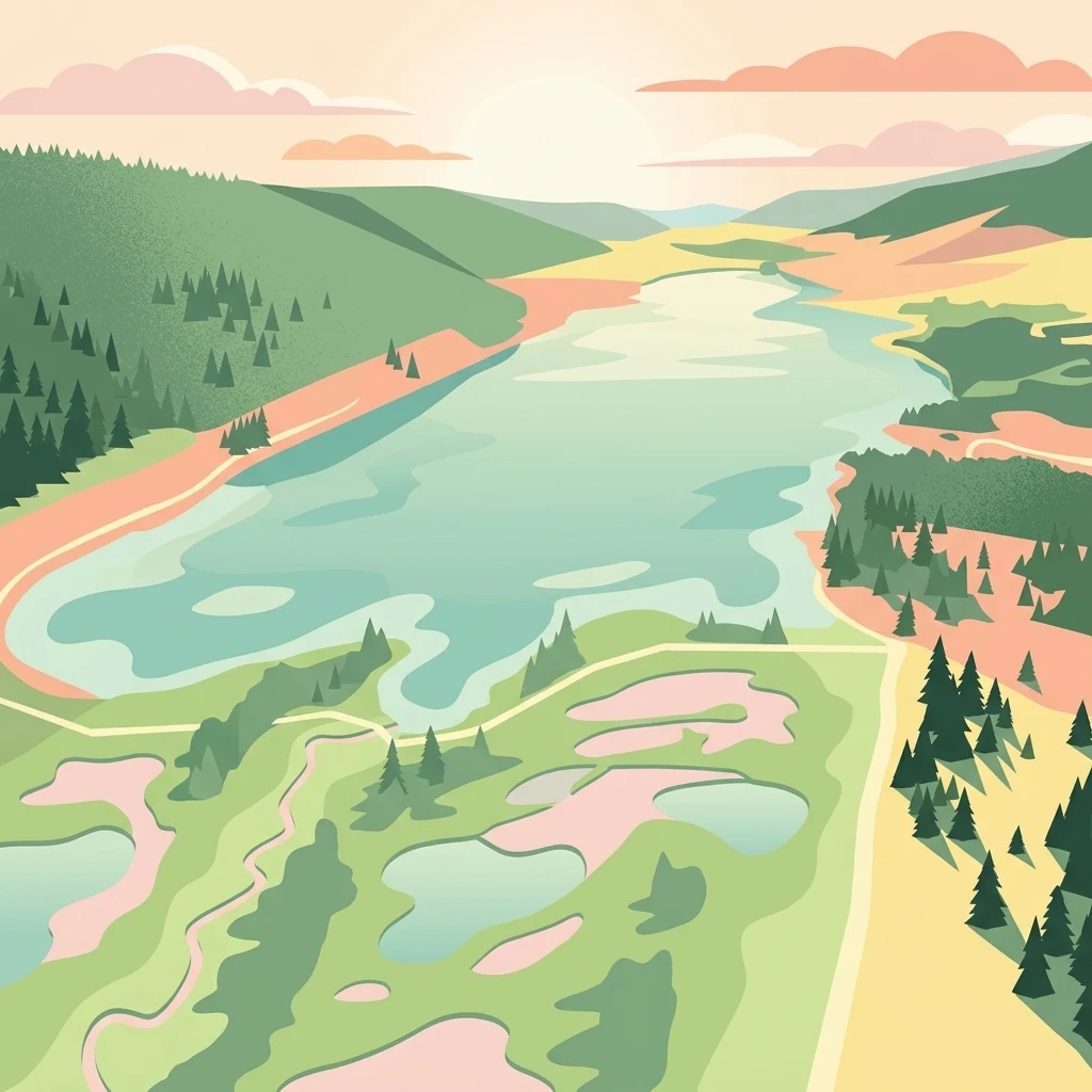
A flat-style digital illustration of a mountain landscape with a large lake and surrounding peat bogs, evergreen forests, and gently rolling hills under a soft sunset.

A Ramsar-linked mosaic of mountain peatlands and glacial lakes across the Haut-Jura.

Tourbières et lacs de la montagne jurassienne

Tourbières et lacs de la montagne jurassienne is an internationally recognized wetland complex in eastern France, spanning the Doubs and Jura departments in the Bourgogne-Franche-Comté region. Labelled under the Ramsar Convention on 2 February 2021, the site covers more than 12,000 hectares of mountain peatlands and glacial lakes distributed across fifty-two communes, from the Verrières-de-Joux in the north to Saint-Claude in the south. The site extends the earlier Bassin du Drugeon Ramsar designation of 2003 into a much broader network that includes twelve Natura 2000 areas and four natural reserves. It brings together 125 peatlands and 18 natural lakes set above roughly 800 metres in the limestone, karstic terrain of the Jura Massif, landscapes shaped by Quaternary glaciation. Ecologically, the complex is the reference habitat for almost every peatland species of the French Jura, hosts the entire French population of two taxa, and contains at least twenty-two wetland habitats of European interest. It supports a rich avifauna, rare dragonflies and butterflies tied to peat bogs, and vulnerable fish such as the white-clawed crayfish, lake trout and pike.

Location
France
Park type
Wildlife reserve
Established
2021
Area
121.6 km²
Tourbières et lacs de la montagne jurassienne Atlas

Search Tourbières et lacs de la montagne jurassienne records

Earthquakes near Tourbières et lacs de la montagne jurassienne

Earthquakes near Tourbières et lacs de la montagne jurassienne are related to the protected landscape by epicentre and distance, not evidence of events inside it. Search dates, magnitudes, depths, locations, distance figures, and citations without treating peatlands, lakes, or mountain features as seismic causes, assessing present danger, or forecasting future earthquakes.

Sort by
Magnitude
Location

This page describes catalogued earthquakes associated with the park by epicentre location and distance. It does not establish causation, assess current danger, or predict future earthquakes.

No earthquake records match the current filters

Park atlas

Continue from Tourbières et lacs to other protected ecosystems

Explore beyond the Haut-Jura peatlands and lakes

Tourbières et lacs de la montagne jurassienne places its earthquake record in a Ramsar-linked mosaic of high Jura peatlands, glacial lakes, and karst terrain. Subsequent destinations are separate profiles and carry no assumption of shared wetland status, mountain hydrology, geology, seismic conditions, nearby geography, hazard, or supporting evidence.
A horizontal watercolor painting showing a soft, misty landscape with coniferous trees, grassy wetlands, and rolling hills in the background, executed in a muted color palette.
Nature reserveBourgogne-Franche-Comté
Mapped location lies within the park boundary#1 closest

North

Réserve naturelle régionale de la Seigne des Barbouillons Protected Landscape Atlas

Geography and wetland boundaries in the Jura plateau of France

The Réserve naturelle régionale de la Seigne des Barbouillons protects a characteristic raised bog ecosystem in the Mignovillard commune. This compact area serves as a vital reference point for understanding the distribution of sphagnum mires and specialized butterfly habitats across the Jura plateau, illustrating the contrast between protected peatlands and their surrounding agricultural environment.

Area
0.346 km²
Established
2014
IUCN
IV
Relief
Upland
A watercolor illustration of a landscape with green forest, wetland grasses, and pale mountains in the background, set against a clean white background.
Nature reserveBourgogne-Franche-Comté
Mapped location lies within the park boundary#2 closest

North

Réserve naturelle régionale des tourbières de Frasne-Bouverans Protected Landscape Atlas

Peatland mosaic geography in the Drugeon valley of Bourgogne-Franche-Comté

Trace the boundaries and ecological features of this significant regional nature reserve. Spanning the Forbonnet massif and the wider Drugeon basin, the area features a dense concentration of raised bogs, woodlands, and mire habitats defined by complex glacial geology.

Area
2.926 km²
Established
1986
IUCN
IV
Visitors
17.5K annual
A horizontal watercolor painting depicting a soft, layered landscape with distant hills, gentle slopes, and clusters of evergreen trees in shades of green and purple.
Nature reserveBourgogne-Franche-Comté
Mapped location lies within the park boundary#3 closest

Southwest

Réserve naturelle régionale des tourbières du bief du Nanchez: Protected Jura Mountain Peatlands

Mapping bog systems and wet grassland geography in Eastern France

Located in the Jura department, this regional nature reserve preserves forty-nine hectares of vital peatland, including diverse mire communities and forested slopes. The site provides a critical look at montane landscape restoration, documenting significant bog flora and complex hydrological patterns along the Combe du Nanchez valley floor.

Area
0.488 km²
Established
2021
IUCN
IV
Relief
Upland
A soft, horizontal watercolor painting depicting a winding river flowing through a lush, green landscape with distant hills and sparse trees.
Nature reserveVaud
About 21 km away#4 closest

Southeast

Chanivaz, Delta de l’Aubonne: Geography, Map, and Protected Landscape Context

A rare glacial geotope and river delta on Lake Geneva.

Chanivaz, Delta de l’Aubonne provides a rich look at the alluvial fan of the River Aubonne. Explore its layered terrace terrain, protected reedbeds, and riparian forests in the canton of Vaud, representing one of the best-preserved natural river mouths remaining on the northern shore of Lake Geneva.

Area
3 km²
Established
2003
Relief
Lowland
Climate
Temperate
A horizontal watercolor painting depicting a soft-edged, green-and-white landscape of rolling hills and distant limestone ridgelines.
Nature reserveBourgogne-Franche-Comté
About 21 km away#5 closest

North

Réserve naturelle nationale du ravin de Valbois: Protected Jura Blind Valley and Limestone Ravines

Geographic landscape exploration of the Doubs department's protected natural reserve.

Spanning 235 hectares, this protected nature reserve in Bourgogne-Franche-Comté preserves a textbook Jura reculée. The terrain showcases vertical limestone cliffs, deep forested ravines, and a 40-meter cascade. As a hotspot for butterfly diversity and Mediterranean-montane vegetation, the area offers a significant study in microclimatic gradients and old-growth forest conservation within the French landscape.

Area
2.35 km²
Established
1983
IUCN
IV
Relief
Mountain
A watercolor landscape painting showing green hills, trees, and marshy river banks.
Nature reserveGeneva
About 23 km away#6 closest

South

Naturschutzgebiet Moulin de Vert: Protected Wetland and Forest Geography in Geneva

Detailed nature reserve map and regional landscape context

The Naturschutzgebiet Moulin de Vert nature reserve protects a mosaic of riverside woodland, meadows, and managed pond systems along the Rhône in the Canton of Geneva. Spanning approximately 132 hectares, this conservation area is recognized for supporting extensive biodiversity, from nesting peregrine falcons to diverse amphibian populations. Access this detailed geographic perspective to visualize the park boundaries, internal terrain features, and its ecological connection to the broader Swiss river landscape.

Area
1.32 km²
Established
2001
IUCN
IV
Nature reserveAuvergne-Rhône-Alpes
About 23 km away#7 closest

Southwest

Réserve naturelle régionale du récif fossile de Marchon - Christian Gourrat Geological Site

A protected Jurassic fossil reef in the Auvergne-Rhône-Alpes region

Located in the Ain department, this small nature reserve is scientifically renowned for its Kimmeridgian reef outcrop. The site protects a fossilized coral and rudist assemblage within the forêt de Marchon, offering a quiet, forested setting for studying France's ancient marine geological history.

Area
0.001 km²
Established
2015
IUCN
IV
Scope
Terrestrial
A pale, minimalist watercolor painting depicting rolling hills and mountains in shades of soft green, purple, and yellow against a white background.
Natural monumentNeuchâtel
About 23 km away#8 closest

Northeast

Creux du Van et Gorges de l’Areuse Natural Monument and Regional Protected Landscape

Geological exploration of the Folded Jura and Areuse river valley

Spanning the Cantons of Neuchâtel and Vaud, this protected area unites the dramatic rock bowl of the Creux du Van with the narrow, cascading passages of the Gorges de l’Areuse. The site provides a comprehensive view of Jura mountain landforms, highlighting millions of years of river erosion, glacial activity, and karst weathering in a singular, well-defined geographic corridor.

Area
21.21 km²
Established
1876
Relief
Mountain
Climate
Temperate
MoriAtlas Explorer

Examine the Protected Landscapes of Tourbières et lacs de la montagne jurassienne

Deepen your understanding of this significant wildlife reserve by mapping its interconnected wetland corridors and glacial basin formations. MoriAtlas provides a structured look at the complex topography and environmental boundaries that define this essential Jura Mountain landscape.