Review historical seismic events mapped by epicentre proximity to protected park landscapes.
Recorded Earthquake History and Seismic Activity Data for Tsavo West National Park
Explore the structured catalogue of historical earthquake records associated with the geography of Tsavo West National Park. This data collection provides transparent details on event dates, magnitudes, and focal depths, calculated by epicentre distance from park boundaries. The records assist in understanding the regional seismic context of the Taita-Taveta County area through referenced USGS source materials.
Kenya's premier wilderness sanctuary with dramatic landscapes, Mzima Springs, and legendary wildlife
Tsavo West National Park
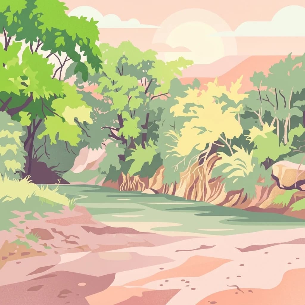
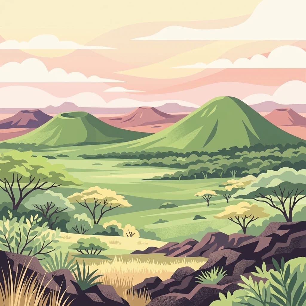
Tsavo West National Park is one of Kenya's largest and most iconic protected areas, spanning approximately 9,065 square kilometers in the Taita-Taveta County of southeastern Kenya. Established in 1948, the park forms part of the broader Tsavo Conservation Area together with adjoining Tsavo East National Park and surrounding ranches. The park is renowned for its magnificent scenery, diverse ecosystems, and the famous Mzima Springs, which supply crystal-clear water to the region. Tsavo West offers visitors a more developed infrastructure compared to its eastern counterpart, with a good road network, rhino reserve, and exceptional rock climbing opportunities at locations like Kichwa Tembo. The park's dramatic landscape encompasses volcanic plains, ancient rock formations, riverine forests, and vast savanna, supporting populations of elephants, rhinos, lions, leopards, and hippos.
Explore earthquake records near Tsavo West National Park
Explore earthquake reports around Tsavo West National Park, a 9,065 km² terrestrial park with mixed relief, grassland, cliffs, rivers and minor water presence; search reported dates, magnitudes, depths, localities and park distances. Geographic association does not prove boundary occurrence, wildlife or landscape effects, present hazard, causation or future activity.
Sort by
Magnitude
Location
This page describes catalogued earthquakes associated with the park by epicentre location and distance. It does not establish causation, assess current danger, or predict future earthquakes.
No earthquake records match the current filters
Park atlas
Move beyond Tsavo West National Park earthquake records
Discover further protected parks beyond Tsavo West National Park
After this Kenyan landscape of lava, savanna, springs, and wildlife, explore a broader range of protected destinations. The selection is not a comparison of volcanic geology, seismic hazard, national park status, ecological character, or record coverage.
National parkTanzania
Park boundaries overlap#1 closest
Southeast
Mkomazi National Park
Explore its mapped terrain and conservation significance within East Africa.
Mkomazi National Park, in Tanzania. Landscapes: forests, woodlands, and grasslands.
Tsavo East National Park: Kenya's Protected Natural Landscape for Geographic Exploration
Explore mapped boundaries and regional park geography.
Tsavo East National Park in Kenya offers a rich entry point for understanding protected landscapes and regional geography. As a designated national park, its mapped boundaries and natural terrain provide essential context for geographic exploration within East Africa. This page serves as a focused discovery point for the park's specific environmental attributes and its role in the broader atlas of protected areas.
Chyulu Hills National Park: A Protected Landscape in Kenya's Geography
Explore its mapped boundaries and regional park context.
Delve into the protected lands of Chyulu Hills National Park, a key national park situated within Kenya's expansive geographic tapestry. This resource provides detailed insights into the park's mapped boundaries, its specific terrain characteristics, and its overall contribution to the regional atlas. Understand its role as a protected area contributing to the diverse natural landscapes of East Africa.
Kisite-Mpunguti Marine National Park: Kenya's Coastal Protected Marine Landscape
Mapped coral reefs and diverse marine ecosystems.
As Kenya's foremost marine national park, Kisite-Mpunguti Marine National Park presents an unparalleled opportunity to explore a thriving underwater world. Its protected boundaries encompass remarkable coral formations and a rich tapestry of marine species, including diverse fish populations, sea turtles, and dolphins. This park is a cornerstone of coastal conservation, offering valuable insights into marine geography and ecosystem health for those seeking detailed landscape context.
Mombasa Marine Park National Park: Kenya's Coastal Protected Landscape
Mapped protected area within the East African regional geography.
This detail page offers an in-depth look at Mombasa Marine Park, a designated national park in Kenya. It focuses on its protected landscape identity, mapped boundaries, and its place within the regional geography of East Africa. Users seeking structured atlas information and context for protected natural areas will find detailed geographic data here.
Continue Exploring Tsavo West National Park's Geographic Identity and Map Context
Deepen your understanding of Tsavo West National Park by tracing its protected landscape and regional geographic features. This destination provides specific data points to visualize its mapped boundaries and natural terrain, contributing to a comprehensive atlas of protected areas in Kenya. Continue your discovery of its unique place within Taita-Taveta County's geography.