
Reservoirs
Park geography
Examining the mountain terrain, spatial extent, and natural landscape features of this protected region.
Comprehensive Geographic Profile and Mapped Boundaries of Tunari National Park in Bolivia
Tunari National Park occupies a significant 3090 square kilometer area within the Cochabamba Department. This geography profile details the mountain relief, including distinct peaks like Tunari and Cerro San Agustín, alongside internal water features such as the Cascada Pairumani and various high-altitude viewpoints that define the regional landscape.
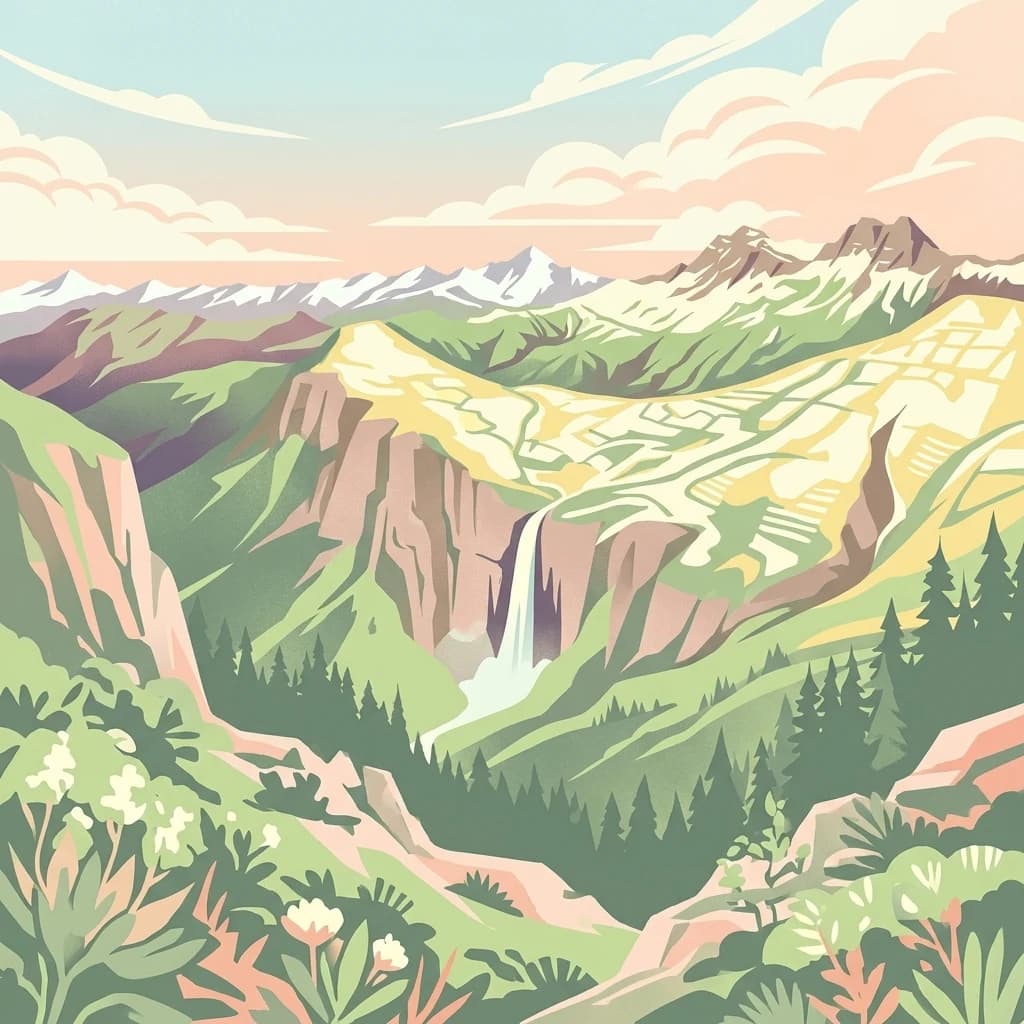
Andean highland park protecting dramatic mountain ecosystems in central Bolivia
Tunari National Park
Tunari National Park is a protected highland area located in the Cochabamba Department of central Bolivia, spanning approximately 3,090 square kilometers of Andean terrain. The park was established in 1992 and is managed by the Servicio Nacional de Áreas Protegidas (SENAP), holding IUCN category II designation as a national park. The park encompasses the Tunari Mountain Range, a significant geographic feature in Bolivia's central highlands, protecting unique Andean ecosystems that include montane grasslands, cloud forests, and alpine zones. The park's location near the city of Cochabamba makes it an important ecological buffer zone for the region's population center, though its future faces uncertainty due to the planned Misicuni Dam project which would flood portions of the protected area.
- Location
- Bolivia
- Park type
- National park
- Established
- 1992
- Area
- 3,090 km²
Location overview
Protected Territory within Bolivia and the Cochabamba Department
Geographic Positioning of Tunari National Park in Bolivia
Tunari National Park is located in Bolivia, positioned inside the Cochabamba Department. Verified records establish its official administrative boundaries and regional relationships.
- Countries
- Bolivia
- Regions
- Cochabamba Department
- Primary location
- Cochabamba Department
Boundary and coordinates
Tunari National Park’s mapped boundary spans 3,090 km²
Tunari National Park mapped boundary and 3,090 km² area
Tunari National Park has stored boundary geometry that outlines its substantial 3,090 km² protected footprint. The recorded figure is an overall area only, because separate land and marine values and a perimeter measurement are unavailable.
- Boundary area
- 3,281.4 km²
- Boundary perimeter
- 363.5 km
- Northernmost point
- 16.9038° S
- Southernmost point
- 17.5563° S
- Easternmost point
- 65.906° W
- Westernmost point
- 66.7356° W
- Geographic centre
- 17.2208° S, 66.3552° W
- North–south span
- 72.2 km
- East–west span
- 88.2 km
Terrain and natural features
Explore mountain terrain classifications and recorded hydrologic features within protected boundaries
Tunari National Park Terrain and Mapped Natural Features
Stored mountain classifications characterize the rugged terrain across Tunari National Park alongside numerous recorded rivers, reservoirs, and waterfalls. Individual feature cards detail specific types, measurements, and spatial relationships documented within the protected area.
Selected named natural features
Rivers
Rio Jatun Mayu
Reservoirs
Laguna Jatun
Rivers
Rio Chapisirca
Reservoirs
Laguna Marquina
Streams
Rio Calliri
Environmental setting
Interpreting stored relief formations and landscape features across the terrain
Tunari National Park Environmental Classifications and Mountain Settings
Recorded mountain relief and landscape classifications serve as structured interpretive categories for the physical setting. Associated data points link these regional classifications directly to relevant atlas destinations.
- Relief
- Mountain
Landscape features
Mountains
Park atlas
Compare additional protected landscapes and trace the regional park geography across Bolivia's central highlands.
Browse National Parks and Protected Areas Near Tunari National Park, Bolivia
Continue your exploration of Bolivia's protected areas by browsing other national parks and protected landscapes found near Tunari National Park in the central highlands. Mapping these adjacent conservation zones provides valuable geographic context for comparing diverse Andean ecosystems and understanding the broader regional spread of protected terrain.
National parkCochabamba Department
11 km away#1 closest
East

Carrasco National Park: National Park Status and Protected Landscape Geography
Explore mapped boundaries within Cochabamba Department.
Carrasco National Park, situated within the Cochabamba Department, represents a critical national park entity. This focus provides users with an atlas-centric view of its protected landscape, detailing its geographic significance and mapped features. Understand the park's terrain and regional context, offering a clear perspective on its conservation value and mapped presence.
- Area
- 6,226 km²
- Established
- 1991
- IUCN
- II
- Relief
- Mountain

National parkPotosí Department
About 81 km away#2 closest
Southeast
Torotoro National Park: Paleontology and Karst Landscape Exploration in Bolivia
Discover prehistoric footprints within dramatic Andean canyon geography.
Torotoro National Park in the Potosí Department is a protected area distinguished by its rich paleontological significance and unique semi-arid mountain terrain. Featuring dramatic canyon systems plunging hundreds of meters deep, the park showcases thousands of Cretaceous dinosaur footprints alongside its complex karst topography, complete with caves and sinkholes, offering a profound glimpse into both ancient life and sculpted natural geography.
- Area
- 165 km²
- Established
- 1989
- IUCN
- II
- Relief
- Mountain
National parkBolivia
About 104 km away#3 closest
North
Isiboro Sécure National Park and Indigenous Territory: Bolivian Protected National Park Atlas
Mapped protected boundaries and regional landscape context.
Investigate Isiboro Sécure National Park and Indigenous Territory as a key protected national park within Bolivia's expansive geography. This resource offers detailed views of its mapped natural landscape and its regional significance as a protected area. Understand the park's geographic attributes and its contribution to the country's conservation atlas through structured map-based exploration.
- Area
- 13,721.8 km²
- Established
- 1965
- IUCN
- II
- Relief
- Mixed relief

National parkSanta Cruz Department
141 km away#4 closest
East
Amboró National Park: Its Protected Area Identity and Geographic Context
Mapped boundaries and regional landscape details.
Amboró National Park is a designated national park situated within the Santa Cruz Department, Bolivia. This entry provides detailed insights into its protected landscape, focusing on its geographical significance and mapped boundaries. Users can explore how Amboró National Park fits into the broader regional geography, enhancing their understanding of conservation areas and mapped natural terrains for atlas-based research and discovery. Its specific location and protected status are crucial for understanding its ecological and geographic role.
- Area
- 4,425 km²
- Established
- 1984
- IUCN
- II
- Relief
- Mountain

National parkLa Paz Department
151 km away#5 closest
Northwest
Cotapata National Park and Integrated Management Natural Area: A Protected Landscape in La Paz Department, Bolivia
Explore its mapped boundaries and regional geographic context.
Delve into the protected landscape identity of Cotapata National Park and Integrated Management Natural Area, situated within the La Paz Department of Bolivia. This entry provides essential geographic context, focusing on its mapped protected area status and its contribution to the regional landscape, ideal for atlas-based exploration and understanding Bolivia's conservation network.
- Area
- 600 km²
- Established
- 1993
- IUCN
- II
- Scope
- Terrestrial
Protected areaCochabamba
About 153 km away#6 closest
Southeast
Area Natural Lagarpampa: Protected Inter-Andean Landscapes and Regional Geography
Community-led conservation in the Cochabamba dry valleys.
Spanning over thirty thousand hectares, Area Natural Lagarpampa serves as a significant example of community-driven land protection. The geography features an intricate mix of semi-arid slopes, seasonally active watercourses, and dry-forest ravines that define this part of the Cochabamba highlands. This landscape supports a vital population of the red-fronted macaw, illustrating the intersection between rural agricultural heritage and specialized ecological preservation within the Andean valley system.
- Area
- 303.08 km²
- Established
- 2009
- Relief
- Upland
- Climate
- Arid
Protected landscapeChuquisaca
About 177 km away#7 closest
Southeast
Área natural de manejo integrado El Palmar: Protected Landscape Geography and Map
Andean mountain ecosystems and endemic palm habitat in Chuquisaca.
Investigate the complex geomorphology of Área natural de manejo integrado El Palmar, a protected area in the Cordillera Oriental of Bolivia. This atlas resource covers the interplay between high-altitude serranías, palm-filled quebradas, and the cultural heritage of the Yampara nation, offering a structured look at its protected boundaries and diverse Andean environment.
- Area
- 594.8 km²
- Established
- 1997
- Relief
- Mountain
- Climate
- Mediterranean
National parkLa Paz
About 186 km away#8 closest
Northwest
Parque Nacional Tuni Condoriri: Geographic Atlas of the Cordillera Real Protected Landscape
High-altitude mountain terrain and glacial lake systems in Bolivia
Spanning elevations between 4,500 and 6,200 meters, Parque Nacional Tuni Condoriri represents a primary example of high-Andean topography. The landscape is defined by the serrated Condoriri massif, a series of interconnected glacial lakes, and expansive high-altitude grasslands. This protected area remains a focal point for understanding the hydrological and geological processes shaping the mountain environments of the La Paz region.
- Area
- 91.75 km²
- Established
- 1942
- Relief
- Mountain
- Climate
- Alpine
MoriAtlas Explorer
Continue Exploring Tunari National Park's Mapped Landscape and Geography
Further your understanding of Tunari National Park by delving into its specific geographic features and protected area context. This MoriAtlas route provides detailed insights into the park's mapped boundaries and its place within the broader atlas of Cochabamba Department's natural landscapes. Investigate the unique regional geography that defines Tunari National Park and discover more about Bolivia's conservation efforts.
Browse next
Global natural geography
Explore related park routes
Explore MoriAtlas Global ParksBrowse All MoriAtlas ParksGlobal Park Map DiscoveryMoriAtlas: Browse All CountriesBrowse All MoriAtlas ContinentsNational Park Environment AtlasGrand Canyon National Park AtlasYellowstone National Park AtlasYosemite National Park Atlas and GeographySerengeti National Park AtlasGalápagos National Park Protected LandscapeBanff National Park Geography and AtlasKruger National Park Atlas EntryExplore Uluru-Kata Tjuta National Park GeographyPlitvice Lakes National Park AtlasFiordland National Park Protected LandscapeGreat Smoky Mountains National Park AtlasZion National Park Protected Landscape AtlasAfghanistan National Parks and Protected AreasAlbania National Parks and Protected AreasAlgeria National Parks and Protected AreasAmerican Samoa National Parks and Protected AreasAndorra National Parks and Protected AreasAngola National Parks and Protected AreasAntarctica National Parks and Protected AreasAntigua and Barbuda Park List