Mori Atlas logo
National parkTyresta National Park

Discover the mapped geography and protected area context of this unique Stockholm County natural landscape.

Tyresta National Park: Explore Sweden's Protected Old-Growth Forest & Rift Valley Landscape

Tyresta National Park represents a significant protected landscape in Stockholm County, Sweden, offering a unique glimpse into central Sweden's rift valley geology and one of the largest contiguous old-growth forests in the southern part of the country. Covering approximately 20 square kilometers, this national park, established in 1993, protects ancient pine trees reaching 400 years of age, alongside diverse terrains including lakes, wetlands, and post-fire regeneration areas. Its proximity to Stockholm makes it a key site for understanding regional protected area distribution and the mapped context of ancient forest ecosystems.

Old-growth forestLakesNature reservesNorthern EuropeBiodiversityFire recovery area

Tyresta National Park

National park

Park overview

Structured park overview, official facts, and landscape profile for Tyresta National Park

Tyresta National Park park facts, protected area profile, and essential visitor context
Review the core facts for Tyresta National Park, including designation, size, terrain, visitor scale, habitats, and operating context in one park-focused overview.

About Tyresta National Park

Tyresta National Park represents a remarkable conservation achievement in southern Scandinavia, protecting a diverse landscape of old-growth forest, lakes, wetlands, and cultural heritage sites just a short distance from Sweden's capital. The park's core area centers around Tyresta village, a historic settlement with roots in the Younger Iron Age, where traditional timber buildings from the 1800s still stand alongside a visitor center (Nationalparkernas hus/Naturum). The surrounding landscape features a complex topography of ridge tops and lowlands, with the rift valley structure creating varied ecological niches. The forest ecosystem is characterized by exceptionally old trees with slow growth rates due to low site index conditions, creating a primeval character that supports extraordinary biodiversity. Beyond the forest, the park encompasses several lakes, peat bogs, and open cultural landscapes with historical buildings. The area is threaded by well-maintained hiking trails, including routes adapted for strollers, while the Sörmlandsleden long-distance trail passes through Tyresta village.

Quick facts and research context for Tyresta National Park

Tyresta National Park lies in Stockholm County on the Södertörn peninsula, approximately 20 kilometers from central Stockholm. The park covers 19.7 square kilometers with an additional 27 square kilometers of surrounding nature reserve. Established in 1993, it is managed by the Tyrestaskogen Foundation under the direction of Naturvårdsverket (Swedish Environmental Protection Agency). The park is renowned for its old-growth coniferous forest, with ridge tops dominated by scotch pine and lowlands by Norwegian spruce. The area contains up to 8,000 animal species, four times the biodiversity found in managed forests.

Park context

Deeper park guide and search-rich context for Tyresta National Park

Tyresta National Park history, landscape, wildlife, and travel context
Explore Tyresta National Park through its history, landscape character, ecosystems, wildlife, conservation priorities, cultural context, and seasonal travel timing in a structured park guide built for atlas discovery and search intent.

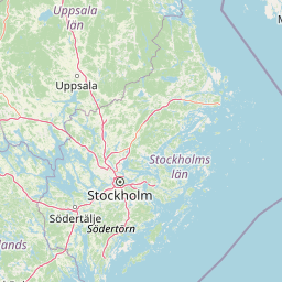
Why Tyresta National Park stands out

Tyresta is best known for its extensive old-growth forest, one of the largest remaining in southern Sweden. The park's coniferous forests contain some of the oldest trees in the region, with certain pine specimens reaching 400 years of age. The area is also notable for the devastating forest fire of 1999, which burned approximately 10% of the national park and created a significant ecological recovery landscape. Its proximity to Stockholm makes it one of the most accessible large forest reserves in Sweden, serving both as a biodiversity sanctuary and a recreation area for the capital region.

Tyresta National Park history and protected-area timeline

The conservation history of Tyresta reflects a gradual recognition of the area's exceptional natural value. Until the early 20th century, local farmers harvested the forest only for domestic needs, preserving more of the woodland than in other parts of the Stockholm region. In the 1910s, plans for large-scale logging emerged, but one farmer refused to sell his forest, leaving it untouched and forming the core of what would become the protected area. A renewed attempt at acquisition occurred in 1929 when Torsten Kreuger sought to purchase the forest, but the already-unique natural forest was purchased by the City of Stockholm in 1936 with the explicit purpose of protecting it and preserving outdoor recreation opportunities. The area remained threatened by development plans through the 1970s and 1980s, leading to the creation of the Tyresta-Åva nature reserve in 1986. In 1993, the central portions of the reserve were redesignated as Tyresta National Park, making it Sweden's 23rd national park. A significant event in the park's history occurred in August 1999 when a major fire burned approximately 450 hectares, about 10% of the total protected area, requiring extensive firefighting efforts including aerial water drops and 18 kilometers of hose lines.

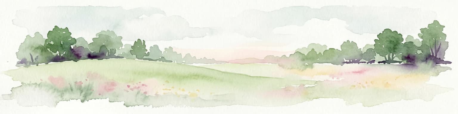
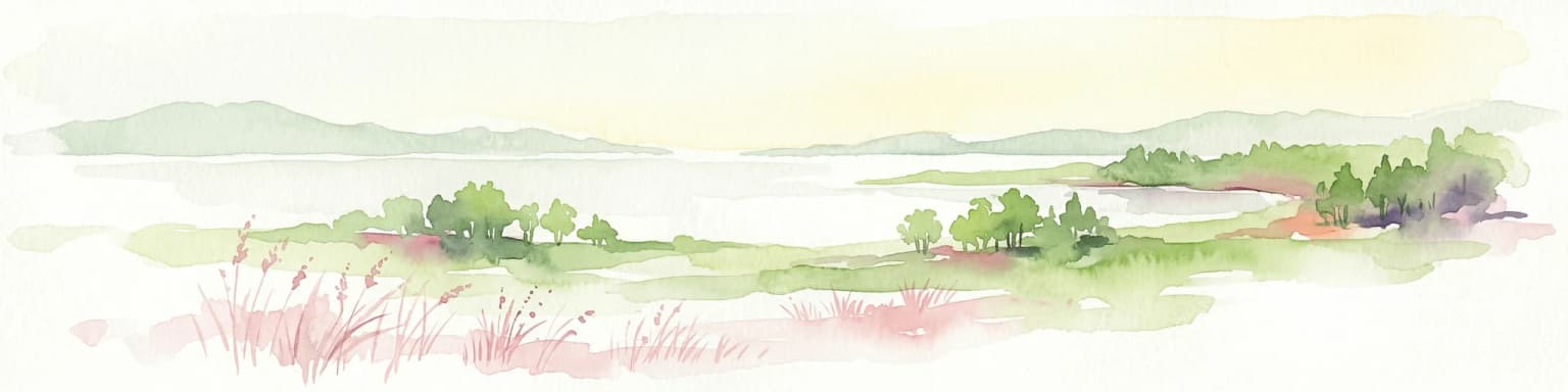
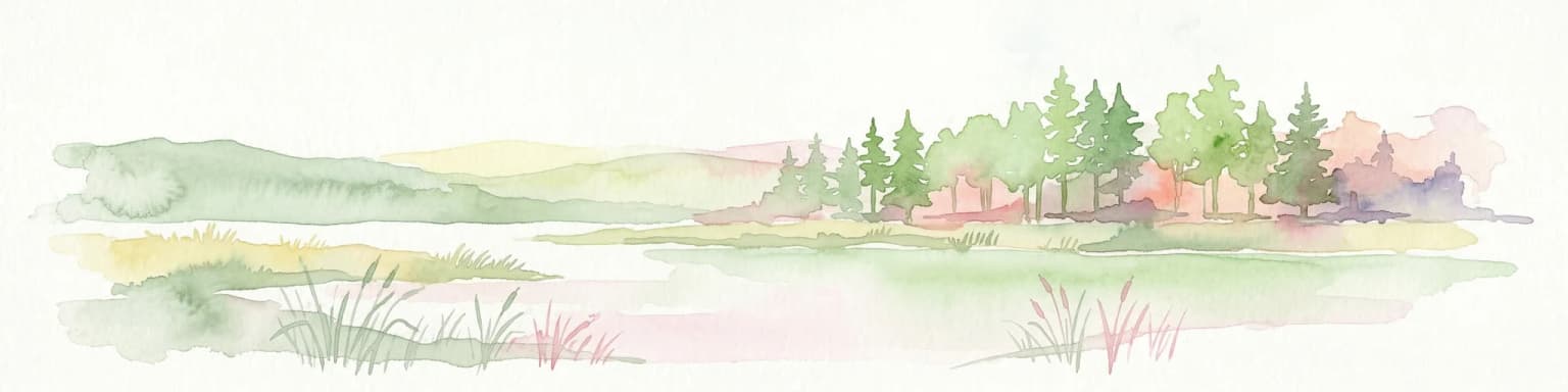
Tyresta National Park landscape and geographic character

The physical landscape of Tyresta National Park is defined by its rift valley terrain, a geological formation that is characteristic of central Sweden but relatively rare internationally. The park encompasses a mosaic of landforms including forested ridges, wetlands, lakes, and open areas. Several lakes punctuate the park's interior, including Stensjön, Årsjön, Långsjön, Mörtsjön, Trehörningen, and Bylsjön, along with various streams and dams such as Åvaån and Mörtsjöbäcken. The ridge tops feature exposed bedrock and thin soils supporting pine-dominated vegetation, while the lower valleys accommodate denser spruce forest and wetter areas with alder and birch. The landscape also includes historical cultural elements, notably the Iron Age fortification Stensjöborg and remnants of the Åva mill complex. The 1999 fire created a distinct landscape element in the eastern portion of the park, where regeneration continues to occur decades later.

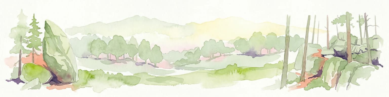
Tyresta National Park ecosystems, habitats, and plant life

The ecological character of Tyresta is defined by its extensive old-growth coniferous forest, one of the most significant remaining in southern Sweden. The forest composition varies with topography: ridge tops are dominated by scotch pine (Pinus sylvestris), while the lower areas feature Norway spruce (Picea abies). The slow-growing trees, characteristic of low site index conditions, can reach exceptional ages, with some pines approaching 400 years. Common broadleaf species include aspen, birch, and alder, adding structural diversity to the forest. The understory features blueberry as a prevalent species, along with other characteristic northern European forest plants. The park supports an exceptional diversity of species, with up to 8,000 animal species recorded—approximately four times the biodiversity found in managed forests. Many species are strictly dependent on old-growth forest conditions and cannot survive in younger, managed woodland. The wetlands and lakes add further ecological variety to the landscape.

Tyresta National Park wildlife and species highlights

Tyresta National Park supports a remarkable diversity of wildlife, with the old-growth forest providing critical habitat for numerous species. The park's forests harbor many invertebrates, insects, and fungi that are specifically adapted to decaying wood and ancient tree structures. Bird species associated with old-growth forest conditions are well represented, and the capercaillie (tjäder) serves as the park's symbolic animal, also appearing on the Haninge municipal coat of arms. The varied habitat types—from dry ridge forests to wet wetlands and open lakes—support different species assemblages. The wetland areas and lakes provide habitat for waterfowl and amphibian species, while the diverse forest structure offers shelter and foraging opportunities for mammals and birds alike. The 1999 fire, while destructive, also created specialized early-successional habitats that benefit certain wildlife species.

Tyresta National Park conservation status and protection priorities

Tyresta National Park holds significant conservation value as one of the largest protected old-growth forest areas in southern Sweden. The establishment of the park in 1993 represented recognition that this remaining forest tract was irreplaceable, as most of the region's original woodland had been converted to production forest or developed. The park is managed by the Tyrestaskogen Foundation, established at the time of the park's creation through cooperation between Naturvårdsverket, the Stockholm County Administrative Board, Stockholm municipality, Haninge municipality, and Tyresö municipality. The foundation manages a dedicated fund of 39 million Swedish kronor to finance ongoing conservation and management activities. The 1999 fire, while causing substantial tree mortality, has provided valuable ecological data on forest succession and fire ecology in northern forest systems. The park also serves a conservation function as part of Stockholm's green infrastructure, providing ecosystem services and biodiversity corridors near a major urban center.

Tyresta National Park cultural meaning and human context

The Tyresta area contains significant cultural heritage elements that predate the national park designation. Tyresta village represents a historic settlement with origins in the Younger Iron Age, as evidenced by a runestone behind one of the farms and associated burial grounds. The village comprises several farms with traditional knotted timber buildings from the 1800s. A Viking-era brooch (the Tyresta brooch) was discovered during construction work in the 1990s, indicating medieval activity in the area. The Iron Age fortification Stensjöborg sits on a ridge within the park, representing defensive structures from earlier periods. The Åva area contains historical mill buildings from the late 1700s. Traditional land use is evident in the maintained meadows and pastures surrounding the village, as well as foundations from abandoned torp (smallholdings) scattered through the landscape. The area reflects centuries of human interaction with the forest landscape while retaining its natural character.

Top sights and standout views in Tyresta National Park

Tyresta National Park offers a rare combination of accessible wilderness and ecological significance within the Stockholm metropolitan area. The old-growth forest, with trees up to 400 years old, provides a glimpse of the primeval woodlands that once covered much of southern Scandinavia. The 1999 fire area demonstrates natural forest regeneration processes in action. The cultural landscape around Tyresta village showcases traditional Swedish rural architecture and historical land use. The extensive trail network, including child-friendly routes and connections to the Sörmlandsleden long-distance trail, makes the park accessible for varied visitor abilities. The visitor center (Naturum) provides educational exhibits about the park's ecology and history.

Best time to visit Tyresta National Park

The park can be visited year-round, with each season offering distinct experiences. Summer months provide the most accessible hiking conditions and opportunities to observe the forest in full leaf, with blueberry picking a popular activity in July and August. The long Nordic summer days allow extended exploration, and the lakes are suitable for recreational use. Autumn brings colorful foliage and mushroom season, while winter offers a completely different character with snow-covered forests and excellent cross-country skiing on established tracks. The proximity to Stockholm means the park experiences considerable weekend visitation during favorable weather, so weekday visits or early mornings provide quieter experiences. The 1999 burn area is particularly striking in spring when new growth contrasts with the charred remains of older trees.

Park location guide

Geography guide, regional context, and park location map for Tyresta National Park

Tyresta National Park park geography, regions, and map view in Sweden
Understand where Tyresta National Park sits in Sweden through a broader geographic reading of the surrounding landscape, nearby location context, and its mapped position within the national park landscape.

How Tyresta National Park fits into Sweden

Sweden, formally the Kingdom of Sweden, is a highly developed Nordic country on the Scandinavian Peninsula in Northern Europe. With a population of 10.6 million and an area of 450,295 km², it is the largest Nordic country by both area and population. Sweden is a constitutional monarchy with Stockholm as its capital and largest city, known for its advanced economy, social welfare system, and membership in the European Union and NATO.

Wider geography shaping Tyresta National Park in Sweden

Sweden occupies the eastern portion of the Scandinavian Peninsula in Northern Europe. It borders Norway to the west and north, Finland to the east, and shares a maritime border with Denmark to the southwest across the Øresund. The country has an extensive coastline along the Baltic Sea and Gulf of Bothnia, dotted with thousands of islands. The terrain varies from mountainous regions in the northwest to low-lying coastal areas and inland lakes in the south and central parts.

Map view of Tyresta National Park

Use this park location map to pinpoint Tyresta National Park in Sweden, understand its exact geographic position, and read its mapped placement within the surrounding landscape more clearly.

Pigeon | © OpenStreetMap contributors

Location context for Tyresta National Park

Haninge MunicipalityStockholm CountyTyresö Municipality
Park atlas

Trace the geographic spread of national parks, nature reserves, and protected areas across Sweden's Stockholm region.

Explore Other National Parks and Protected Areas Near Tyresta National Park
Explore other national parks and protected areas located near Tyresta National Park, mapping diverse old-growth forests, lake systems, and unique rift valley terrain within central Sweden. This comparison reveals the geographic distribution of distinct conservation landscapes and ecological recovery zones across the broader Stockholm region's natural environment.
Watercolor painting of a grassy field with trees and a soft sky
National parkStockholm County

Ängsö National Park: Flower-Rich Cultural Landscape in Stockholm County's Archipelago

Mapped protected area and historic island geography

Ängsö National Park, a protected national park in Stockholm County, offers a rare glimpse into a flower-rich cultural landscape shaped by history and nature. The island's mapped boundaries encompass idyllic meadows, mature deciduous forests, and a unique archipelago setting. MoriAtlas highlights its significance as one of Sweden's earliest national parks, providing context for its distinctive natural terrain and protected landscape identity within the Roslagen region.

Area
1.68 km²
Established
1909
IUCN
II
Relief
Lowland
National parkVästmanland County

Färnebofjärden National Park: Protected River Landscape and Birdlife Atlas

Explore Västmanland County's unique riverine protected area and mapped terrain.

Färnebofjärden National Park offers a unique geographic perspective as a protected national park situated in Sweden's Västmanland County. This page details the park's distinct riverine landscape, characterized by the Dalälven River's intricate network of channels, wetlands, and islands, and its position at a critical ecological frontier. Discover the mapped boundaries and regional context of this important protected area, renowned for its exceptional bird populations and diverse natural habitats.

Area
101 km²
Established
1998
IUCN
II
Relief
Lowland
National parkÖrebro County

Garphyttan National Park: Pioneer Protected Landscape and Historic Swedish Terrain

Explore meadows, forests, and historic geography in Örebro County.

Garphyttan National Park, established in 1909, is a testament to early Swedish nature conservation efforts. This protected landscape features rolling forested terrain and distinctive flower-rich meadows, maintained through traditional practices that highlight Sweden's cultural heritage. Located within Örebro County, the park offers valuable insights into regional geography and the formation of mapped protected areas, making it a key destination for understanding historical landscape preservation.

Area
1.11 km²
Established
1909
IUCN
II
Relief
Lowland
National parkFinland

Archipelago National Park: Mapped Protected Landscape and Geographic Context in Finland

Explore protected area boundaries and natural terrain.

Archipelago National Park represents a vital component of Finland's protected lands. This page serves as an atlas-focused entry point, detailing the park's specific geographic context, its mapped protected area boundaries, and the nature of its landscape. Understand how this national park contributes to the broader regional geography of Finland and the Nordic region, aiding structured discovery through maps and geographic data.

Area
500 km²
Established
1983
IUCN
II
Visitors
78.8K annual
Watercolor illustration of a forest landscape with rocks, trees, and distant hills
National park

Tiveden National Park: Sweden's Protected Granite Landscape and Ancient Forest

Explore protected wilderness, fracture valleys, and geological heritage.

Tiveden National Park is a protected area in southern Sweden renowned for its ancient forests and rugged granite landscape. The park's terrain features deep fracture valleys, formed by ancient geological events, and stands as one of the last large remnants of older forest in the region. Discover the park's unique topography, mapped boundaries, and its significance as a protected natural landscape for atlas-based exploration.

Area
20.3 km²
Established
1983
IUCN
II
Relief
Mixed relief
Watercolor illustration of a lake surrounded by trees and hills
National parkKalmar County

Norra Kvill National Park: Ancient Coniferous Forest Protected Landscape in Kalmar County

Discover its unique mapped terrain and natural forest heritage.

Norra Kvill National Park safeguards a remarkable old-growth coniferous forest ecosystem, a rarity in southern Sweden. This park is characterized by ancient pines, some dating back over 350 years, thriving on steep fault-formed terrain and amid boulder fields. Its protected status ensures the preservation of this unique natural landscape, providing invaluable insight into forest ecology and regional geography within Kalmar County. MoriAtlas offers a structured approach to understanding its mapped boundaries and ecological significance.

Area
1.14 km²
Established
1927
IUCN
II
Relief
Highland
Marine protected areaSaare County

Vilsandi National Park: Marine Protected Area Atlas and Archipelago Geography

Explore the protected landscape of Western Saaremaa's coast.

Vilsandi National Park is an integral part of Saare County's protected lands, recognized as a significant marine protected area. This page offers an atlas-style exploration of its geography, focusing on the distinctive archipelago terrain, coastal formations along Saaremaa's western edge, and its vital importance as a stopover for migratory birds. Understand the park's mapped boundaries and its place within the broader Baltic Sea ecosystem through detailed geographic context.

Area
241 km²
Established
1957
Relief
Lowland
Climate
Temperate
National park

Blå Jungfrun National Park: Baltic Sea Island National Park with Blue Granite Cliffs

Explore its mapped boundaries and distinct coastal terrain.

Blå Jungfrun National Park is a distinctive Swedish national park situated on a Baltic Sea island, immediately recognizable by its prominent blue-hued granite cliffs. As a protected landscape, it offers a unique glimpse into island ecosystems and rugged coastal geography. MoriAtlas provides detailed context for its mapped boundaries, showcasing the natural and geological significance of this solitary protected area within the regional atlas.

Relief
Mixed relief
Access
Moderate access
Scope
Mixed
Water
Major water bodies

Common questions about visiting, size, designation, and location context for Tyresta National Park

Tyresta National Park FAQs for park facts, access, geography, and protected area context
Find quick answers about Tyresta National Park, including protected-area facts, park geography, trail and visitor context, and how the park fits into its surrounding country and regional landscape.
MoriAtlas Explorer

Continue Your Protected Areas Search Across the Global Atlas

Deepen your exploration by continuing the structured search for national parks and protected areas worldwide. Utilize the comprehensive filtering capabilities to compare different conservation landscapes and refine your understanding of global park geography. Discover more about the distribution and characteristics of protected natural areas.

Global natural geography