Mori Atlas logo
Park earthquake history

A comprehensive catalogue of seismic events mapped by epicentre distance and geological record data.

Historical Earthquake Records Associated with Val Grande National Park in the Italian Alps

This collection provides a structured index of recorded earthquakes associated by location with the rugged mountain terrain of Val Grande National Park. Users can examine event dates, magnitudes, and focal depths for seismic occurrences detected within the surrounding Lepontine Alps. This data serves as a reference for understanding regional seismic history, utilizing records derived from official geological sources to provide geographic context for the protected landscape.

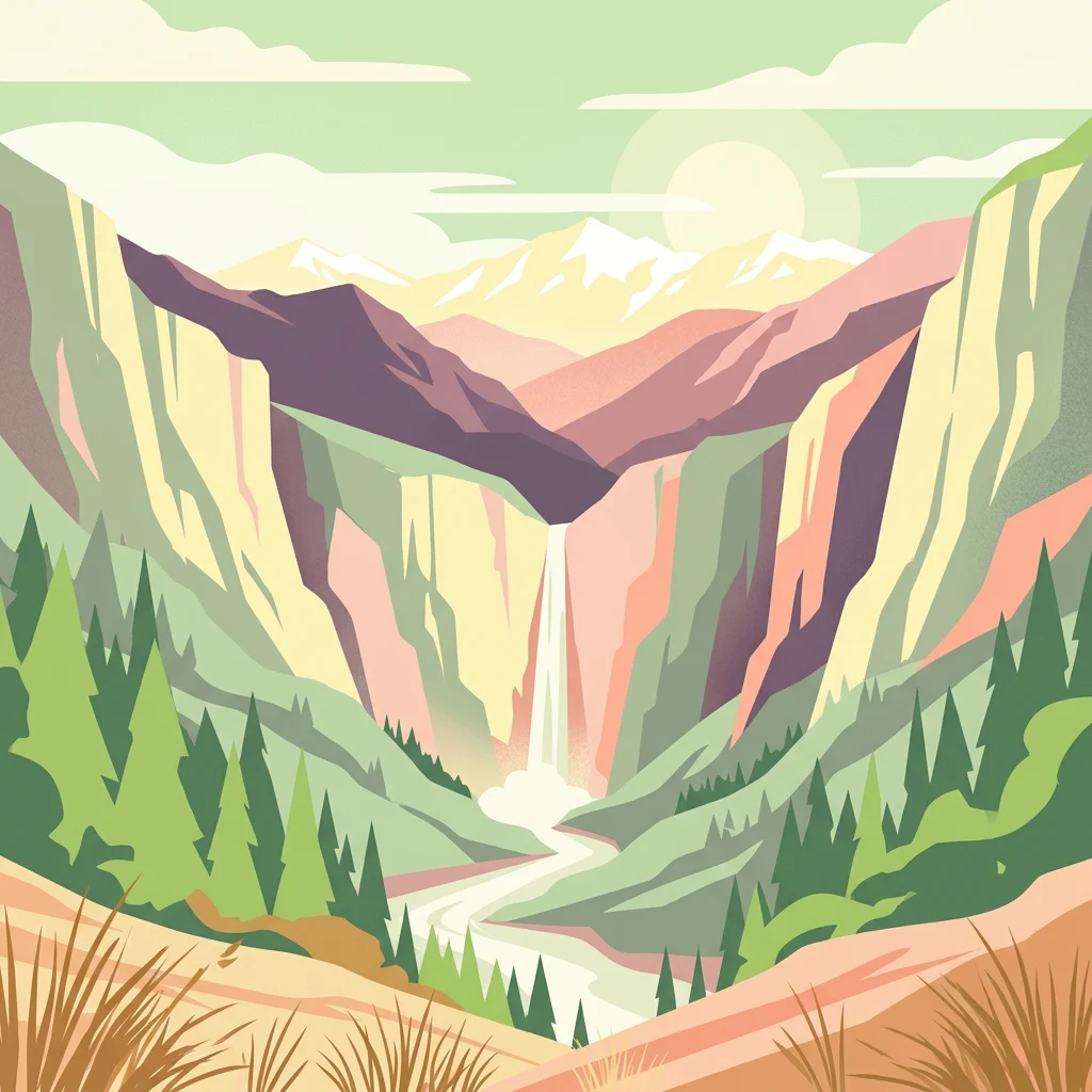
Illustration of a mountain valley with a waterfall, dense forests, and distant snow-capped peaks under a partly cloudy sky

Italy's premier Alpine wilderness area

Val Grande National Park

Val Grande National Park is Italy's largest wilderness area and one of the most significant protected landscapes in the Alps. Located in the Piedmont region of northern Italy, within the Province of Verbano-Cusio-Ossola, the park encompasses a dramatic mountain environment characterized by deep valleys, steep ridges, and extensive forested slopes that descend toward Lake Maggiore. The park's territory includes the Val Grande and Val Pogallo valleys, along with portions of the Vigezzo, Cannobina, and Ossola valleys. Established in 1992 and significantly expanded in 1998 and again in 2023, the park protects an area of approximately 17,000 hectares that has remained essentially uninhabited since the end of World War II. This combination of dramatic Alpine scenery and complete wilderness character makes Val Grande unique among European protected areas, offering visitors a rare opportunity to experience a landscape where nature has reclaimed territory previously shaped by centuries of human activity.

Location
Italy
Park type
National park
Established
1992
Area
170.2 km²
Highest point
2,310 m
Val Grande National Park Protected Area

Navigate Val Grande National Park events by distance

Review historical earthquake records around Val Grande National Park

Val Grande National Park’s earthquake records are organised by mapped epicentres and calculated park distance, not evidence that an event occurred within its Alpine wilderness. Catalogue time, magnitude, depth, reported place, separation, and source support comparison without interpreting mountain or valley characteristics as seismic causes, declaring present hazard, or projecting later activity.

Sort by
Magnitude
Location

This page describes catalogued earthquakes associated with the park by epicentre location and distance. It does not establish causation, assess current danger, or predict future earthquakes.

No earthquake records match the current filters

Park atlas

Move past Val Grande National Park earthquake observations

Find further protected destinations beyond Val Grande National Park

Beyond the earthquake catalogue for Val Grande National Park, MoriAtlas offers other protected-area profiles for continued discovery. It does not present them as sharing Italian Alpine wilderness, forest, mountain designation, nearby geography, seismic history, risk, or dedicated earthquake content, and each destination’s own page supplies the supported context.
A soft watercolor illustration depicting rolling green hills, a small winding river, and a light-filled sky, set against a white background.
Nature reservePiemonte
About 20 km away#1 closest

Southwest

Riserva speciale del Sacro Monte di Varallo: Nature Reserve and Woodland Geography

Exploring the protected boundaries and forest terrain in Piemonte

Riserva speciale del Sacro Monte di Varallo is a compact nature reserve in the Piedmont region, distinguished by its Renaissance-inspired woodland and elevation above the Valsesia valley. This protected landscape combines ecological richness with historic chapel architecture, offering a study in the intersection of natural terrain, cultural heritage, and Alpine foothill geography.

Area
0.217 km²
Established
1990
IUCN
V
Relief
Upland
Watercolor painting of a meandering river flowing through a lush green valley with distant hills and foreground grasses.
Nature reserveCanton Ticino
About 22 km away#2 closest

Northeast

Auenschutzgebiet Maggia: Protected Floodplain Geography and Alpine River Dynamics

Nature reserve located within the Canton Ticino, Switzerland

Investigate the natural topography of Auenschutzgebiet Maggia, a protected floodplain system spanning thirteen kilometers through the Lepontine Alps. This reserve provides a detailed look at how alpine hydrology maintains a diverse mosaic of gravel islands, wet meadows, and riparian forests in a high-energy mountainous environment.

A watercolor illustration of a soft, rolling alpine landscape with a winding path and distant mountain peaks against a pale yellow sky.
Regional parkValais
About 36 km away#3 closest

Northwest

Landschaftspark Binntal: Alpine Geography and Regional Protected Area in Valais, Switzerland

Mapping deep mountain valleys and glacial alpine terrain

Landschaftspark Binntal serves as a vital protected area in the Valais Alps, showcasing a vertical sequence of ecosystems from river gorges to 3000 meter peaks. The park preserves a living cultural landscape alongside significant mineralogical heritage, offering a detailed view into the high-altitude geography and remote valleys that define this distinctive corner of the Swiss mountain landscape.

Area
180 km²
Established
2008
Relief
Mountain
Climate
Alpine
Watercolor painting of a calm lake surrounded by rolling hills and soft greenery.
Nature reserveLombardia
40 km away#4 closest

East

Lago di Piano Nature Reserve: Glacial Geography and Protected Wetland Landscapes

Protected marshland basin in the Lombardy pre-Alps

Lago di Piano sits as a rare lowland wetland oasis carved by ancient glacial activity in the Lombardy foothills. This reserve preserves a complex network of floating vegetation, reed beds, and drumlin-framed valleys, providing a vital study of pre-Alpine geography and protected-area conservation within northern Italy.

Area
0.72 km²
Relief
Lowland
Climate
Temperate
Access
Easy access
A watercolor painting of a panoramic mountain landscape featuring a foreground of green trees and distant purple mountain ridges under a soft light.
Nature reserveValais
About 43 km away#5 closest

Northwest

Aletschwald Nature Reserve: Geographic Insights and Protected Alpine Landscape Context

An ancient high-elevation forest ecosystem in the Swiss Valais.

Situated between 1,600 and 2,200 meters, Aletschwald represents one of the few remaining managed-free subalpine forests in the Alps. The reserve maps the interaction between glacial retreat and forest advancement, featuring a dense mosaic of Arolla pines, larch, and pioneer mosses across diverse lateral moraine formations.

Area
4 km²
Established
1933
Relief
Mountain
Climate
Alpine
A soft watercolor illustration of a green alpine valley with distant mountains in light yellow and purple tones.
Regional parkCanton of Graubünden
44 km away#6 closest

Naturpark Calancatal: Protected Alpine Valleys and Mountain Geography in Graubünden

Mapping regional landscapes and mountain terrain in Southern Switzerland

Spanning 13,900 hectares, Naturpark Calancatal protects a near-entire alpine side valley defined by the Calancasca stream. From high glacier-fed headwaters to Mediterranean-influenced gorges, the park offers a unique look at the diverse mountain terrain, alpine pastures, and protected forests within the Canton of Graubünden.

Area
139.21 km²
Established
2024
Relief
Mountain
Climate
Alpine
A horizontal watercolor painting showing rolling green hills, a forest line, and faint pinkish mountains in the distance against a white background.
Nature reserveLombardia
About 50 km away#7 closest

East

Riserva naturale Valle Bova: An Atlas Guide to Lombardia's Protected River Valley

Karst geology, gorge terrain, and pre-Alpine forest ecosystems

This protected area centers on the Bova stream valley, a significant geological enclave featuring the Buco del Piombo cave and the Orrido di Caino fissure. The reserve terrain demonstrates the complex relationship between northern Italian river systems and pre-Alpine mountain slopes, providing a distinct geographic profile for hikers and regional researchers alike.

Area
3.91 km²
Established
2007
IUCN
IV
Relief
Upland
Watercolor painting of a green landscape with rolling hills, meadows, and a water body in the foreground against a light background.
Protected areaSwitzerland
52 km away#8 closest

North

Rhonegletschervorfeld Protected Area: Alpine Glacier Geography and Mapping

Proglacial landscape and glacial history in the Swiss Alps.

The Rhonegletschervorfeld provides an unparalleled view into the geomorphology of the Swiss Alps, showcasing a continuous record of ice loss through moraines, exposed bedrock, and emerging meltwater systems. Situated near the Furka Pass, this protected area serves as an essential reference for glaciology, offering a clear visual timeline of glacier retreat that has shaped modern alpine tourism and climate science. Explore the mapped terrain where the Rhone River headwaters emerge from the retreating ice.

Area
13.58 km²
Relief
Mountain
Climate
Alpine
Access
Easy access
MoriAtlas Explorer

Continue Your Atlas Exploration of Val Grande National Park's Geography

Deepen your understanding of Val Grande National Park by exploring its specific mapped boundaries and its regional geographic context within Piedmont. MoriAtlas provides structured data to help you navigate protected landscapes and understand their place in the broader atlas of Italian natural areas. Discover more about the park's terrain and its significance in conservation geography.