Mori Atlas logo
Park earthquake history

Review documented seismic events associated with the park region through historical data.

Vatnajökull National Park Historical Earthquake Records and Recorded Seismic Catalogue

This catalog provides a collection of recorded earthquake events associated with the geographic coordinates of Vatnajökull National Park. The data points reflect historical seismic activity mapped by proximity to the park landscape. Users can examine event dates, recorded magnitudes, focal depths, and epicentre distances for documented seismic occurrences within this region.

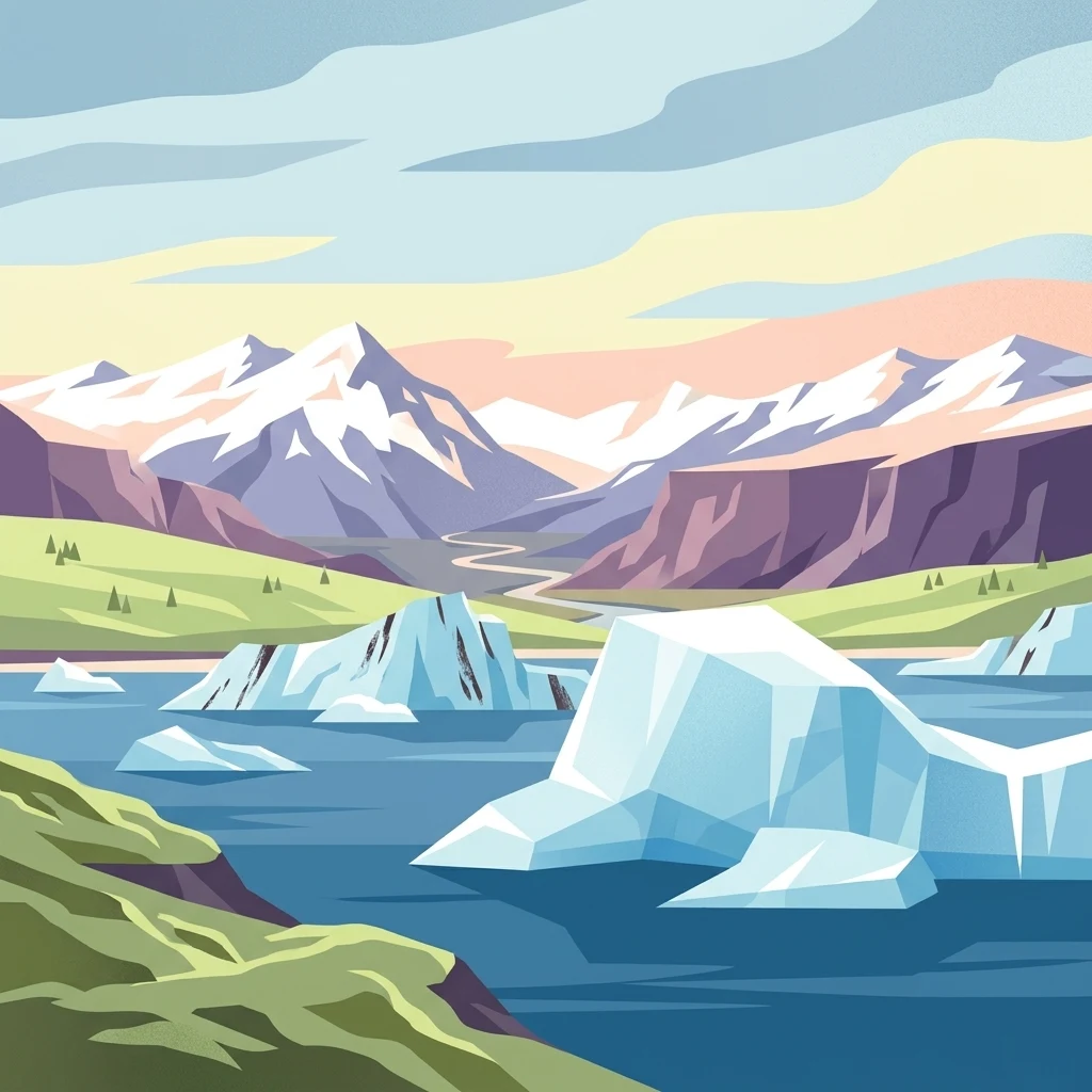
Stylized illustration showing icebergs floating in blue water with mountains and green hills in the background

Europe's largest glacier park where fire and ice collide

Vatnajökull National Park

Vatnajökull National Park is Iceland's largest national park and one of Europe's most expansive protected areas, encompassing the entire Vatnajökull glacier—Europe's largest glacier outside the Arctic—with a surface area of over 8,100 square kilometers. Established in 2008 through the merger of the former Skaftafell and Jökulsárgljúfur national parks, the park covers approximately 14% of Iceland's total land area, making it Europe's second largest national park. The park's defining characteristic is the dynamic interplay between volcanic and glacial forces, where active volcanoes beneath the ice create a landscape of extraordinary geological diversity. In 2019, Vatnajökull National Park was inscribed as a UNESCO World Heritage Site under the designation 'Vatnajökull National Park – dynamic nature of fire and ice,' recognizing its outstanding universal value as a showcase of ongoing geological processes shaped by the confrontation of fire and ice.

Location
Iceland
Park type
National park
Established
2008
Area
14,967 km²
Highest point
2,110 m
Vatnajökull National Park Protected Landscape

Browse recorded tremors by epicenter distance, focal depth, and magnitude relative to the park.

Search Historical Earthquake Records Near Vatnajökull National Park

The geological database compiles documented seismic events based on epicenter proximity to the borders of Vatnajökull National Park. Each factual archive entry provides verified details including event dates, magnitude scales, focal depths, reported epicentral locations, calculated park distances, and primary seismological source access.

Sort by
Magnitude
Location

This page describes catalogued earthquakes associated with the park by epicentre location and distance. It does not establish causation, assess current danger, or predict future earthquakes.

No earthquake records match the current filters

Park atlas

Expand geographic discovery to explore featured national parks and nature reserves globally.

Discover Other Notable Protected Areas Beyond Vatnajökull National Park

Broaden geographic focus from Vatnajökull National Park to browse other significant conservation areas and designated natural sanctuaries across the world database. Comprehensive landscape profiles provide structured environmental facts and regional boundaries to support systematic comparison and general atlas navigation.
Watercolor illustration showing a mountain landscape with green valleys, pink mountains, and a winding river
National park
Mapped location lies within the park boundary#1 closest

South

Skaftafell National Park: Iceland's Accessible Protected Landscape with Glacial Terrain and Basalt Columns

Discover glacial landscapes and volcanic geology.

Skaftafell National Park is a vital protected area in Southeast Iceland, offering a unique atlas-level view of dramatic glacial landscapes. Located at the base of Vatnajökull, Europe's largest glacier, the park features accessible hiking trails that traverse outwash plains, birch woodlands, and glacial tongues like Skaftafellsjökull. Explore the iconic Svartifoss waterfall, framed by striking basalt columns, and understand the park's dynamic terrain shaped by volcanic activity and glacial processes, providing rich geographic context for protected landscape discovery.

Established
1967
IUCN
II
Scope
Terrestrial
Watercolor illustration showing a river valley with hills and tents.
National park
About 0.3 km away#2 closest

North

Jökulsárgljúfur National Park: Explore Iceland's Volcanic Canyon and Glacial River Protected Landscape

Mapped geography and terrain of a key northern Iceland protected area.

Jökulsárgljúfur National Park, located in northern Iceland, is celebrated for its striking volcanic canyon landscape carved by the powerful Jökulsá á Fjöllum glacial river. This protected area showcases a terrain shaped by ancient glacial outburst floods and volcanic forces, featuring notable geological formations like the Hljóðaklettar echo rocks and iron-colored hills. Understanding Jökulsárgljúfur National Park provides crucial insight into the unique regional geography and the atlas-driven exploration of Iceland's preserved natural heritage.

IUCN
II
Relief
Mountain
Access
Remote access
Scope
Terrestrial
Watercolor painting depicting a landscape with cliffs, a body of water, and distant hills under a light sky
National parkSouthern Region
103 km away#3 closest

West

Þingvellir National Park: Witness Tectonic Plates and Ancient Icelandic Governance

Explore the rift valley and historic parliament site in Iceland's Southern Region.

Þingvellir National Park offers a singular opportunity for geographic discovery, situated in Iceland's Southern Region. This protected national park is globally recognized for its visible expression of the Mid-Atlantic Ridge, where the North American and Eurasian tectonic plates actively diverge, creating a dramatic rift valley. Moreover, Þingvellir served as the site of the Althing, Iceland's ancient parliament, making it a crucial historical landmark. Explore this landscape to understand both powerful geological processes and the foundations of Icelandic democratic history through its mapped terrain.

Area
92.7 km²
Established
1930
IUCN
II
Relief
Lowland
Watercolor illustration of a mountain landscape with a glacier-capped peak and surrounding green fields
National park
About 246 km away#4 closest

West

Snæfellsjökull National Park: Mapped Volcanic Terrain and Protected Landscape Identity

Discover the geographic context of Iceland's glacier volcano.

Snæfellsjökull National Park on the Snæfellsnes Peninsula is a prime example of Iceland's protected lands, defined by the iconic Snæfellsjökull glacier volcano. This page details the park's volcanic terrain, from expansive lava fields to dramatic sea cliffs, offering an atlas-driven exploration of its unique geographic features. Understand its significance as a protected area and its place within the broader landscape of western Iceland through detailed mapping and geographic data.

Established
2001
IUCN
II
Watercolor illustration of green rolling hills and a body of water under a pale sky
National parkGreenland
683 km away#5 closest

North

Northeast Greenland National Park: Arctic Wilderness and Protected Landscape Atlas

Explore the world's largest national park and its mapped terrain.

Northeast Greenland National Park represents an extraordinary expanse of Arctic wilderness, renowned as the largest protected area globally. This national park protects a diverse landscape, from the interior Greenland Ice Sheet to dramatic glacial fjords and ice-free polar desert regions. Discover its extensive mapped boundaries and its significance as a sanctuary for vital Arctic megafauna, offering a profound case study in large-scale protected landscape geography.

Area
972,000 km²
Established
1974
IUCN
II
Relief
Mixed relief
Watercolor painting depicting mountains, forested hills, and a river in a scenic landscape
National parkScotland
1,000 km away#6 closest

Southeast

Cairngorms National Park: Explore Scotland's Largest Protected Mountain Landscape

Mapped boundaries and arctic-alpine geography.

As the United Kingdom's largest national park, Cairngorms National Park in Scotland presents a vast expanse of distinctive arctic-alpine terrain and ancient Caledonian forests. This protected landscape offers a unique opportunity to explore mapped geographic features, from its extensive mountain plateaus to its vital river systems. Discover the contours and context of this significant natural area within the broader atlas of Scotland's protected lands.

Area
4,528 km²
Established
2003
IUCN
V
Visitors
1.9M annual
Watercolor illustration showing mountains, green forests, a loch, and a river in a landscape
National parkScotland
1,053 km away#7 closest

Southeast

Loch Lomond and The Trossachs National Park: Scotland's National Park Atlas and Protected Landscape

Mapping Scotland's Highland Boundary Fault and diverse natural terrain.

As Scotland's first national park, Loch Lomond and The Trossachs National Park offers a prime example of a protected landscape shaped by significant geological features. This atlas entry highlights its strategic location along the Highland Boundary Fault, which delineates distinct highland and lowland terrains. Users can explore the park's extensive network of lochs, including Loch Lomond, its mountainous Munros, and its native woodland ecosystems, providing a rich geographic context for discovery.

Area
1,865 km²
Established
2002
IUCN
V
Visitors
2.9M annual
Watercolor illustration of a mountainous landscape with a lake and forests
National parkCounty Donegal
About 1,102 km away#8 closest

Southeast

Glenveagh National Park: A Protected Landscape in the Heart of County Donegal

Mapped geography and natural terrain for Ireland's national park.

Delve into the geographic specifics of Glenveagh National Park, a protected area situated in County Donegal. This section provides detailed information on its mapped boundaries and regional landscape context. Understand how this national park fits within the natural geography of Ulster, offering a structured atlas view for detailed exploration of its unique terrain and protected status.

Area
169.58 km²
Established
1986
IUCN
II
Relief
Mixed relief
MoriAtlas Explorer

Continue exploring Vatnajökull National Park's vast protected landscape and geographic context

Deepen your understanding of Vatnajökull National Park by examining its specific geographic features and mapped boundaries. MoriAtlas provides the tools to navigate its complex glacial and volcanic terrain, offering a structured approach to discovering the park's protected landscape identity and its place within Iceland's broader natural geography. Investigate the atlas-level details that reveal this unique natural wonder.