Mori Atlas logo
Nearby park discovery

Map-based regional discovery of nearby protected environments and natural terrain

Protected Natural Areas and Landscape Reserves Near Velký Radechov, Central Bohemia

Identify protected natural monuments, reserves, and regional landscapes surrounding Velký Radechov. This geographic mapping provides a clear overview of nearby terrain, protected boundaries, and habitat distribution within the Central Bohemian Region and its wider highland context.

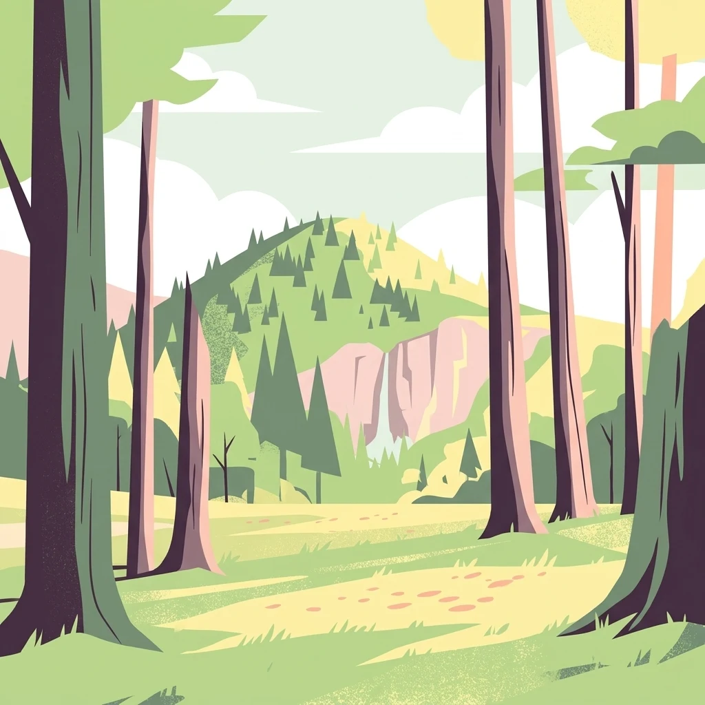
A flat-design, stylized digital illustration depicting a forest clearing with large tree trunks in the foreground, looking toward a forested hill with a small waterfall on a cliff face in the background.

A small volcanic hilltop nature monument in central Bohemia, protecting grassland habitats and an exceptionally rich bird community.

Velký Radechov

Velký Radechov is a small protected natural monument in the Středočeský kraj of the Czech Republic, established in 1999. It lies on the upper slopes of the Radechov hill, a neovolcanic elevation in the Jizerská tabule region, near the village of Dolní Krupá in the Mladá Boleslav district. The site covers roughly 22 hectares of semi-open habitats developed on a former military training ground and traditional hunting area. Its ecological importance comes from a combination of warm, dry grassland patches, scrub, and mixed woodland that support a surprisingly diverse community of plants, invertebrates, amphibians, reptiles, mammals, and breeding birds, including the strongly threatened stock dove. Although modest in size, Velký Radechov is recognized for its biodiversity value within the Středočeský kraj and is administered by the regional authority. It illustrates how even small, formerly disturbed landscape patches in the Bohemian highlands can hold meaningful conservation interest once protected.

Location
Czechia
Park type
Natural monument
Established
1999
Area
0.2 km²
Velký Radechov Protected Natural Monument
Regional park map

See the ranked park cluster in its geographic setting

Nearby parks around Velký Radechov

This regional map shows the same 20 nearby parks ranked below around Velký Radechov. Select a ranked marker to highlight that park’s boundary where boundary data is available.
Reference park: Velký RadechovRanked nearby park20 nearby parks shown
20 nearby parks

Distance ranked collection and regional park geography for comparison

Parks and Protected Areas Geographically Near Velký Radechov

Examine the ranked collection of protected areas situated geographically near Velký Radechov to evaluate spatial separation and directional context. This structured comparison highlights surrounding regional park environments and local conservation patterns without implying shared terrain or travel routes.
Natural monumentStředočeský kraj
About 4.3 km away#1 closest

Southeast

Valcha Natural Monument: Mapping Protected Wetland Ecosystems in Středočeský Kraj

A rare mosaic of forest ponds and mire habitats

Situated in the Středočeský kraj region, Valcha Natural Monument protects a distinctive silting pond and marshland ecosystem. This site demonstrates the ecological significance of small, hydrologically active ravine landscapes nestled within the broader Jizerská tabule plateau terrain, providing critical refuge for rare wetland species.

Area
0.024 km²
Established
2013
IUCN
III
Relief
Lowland
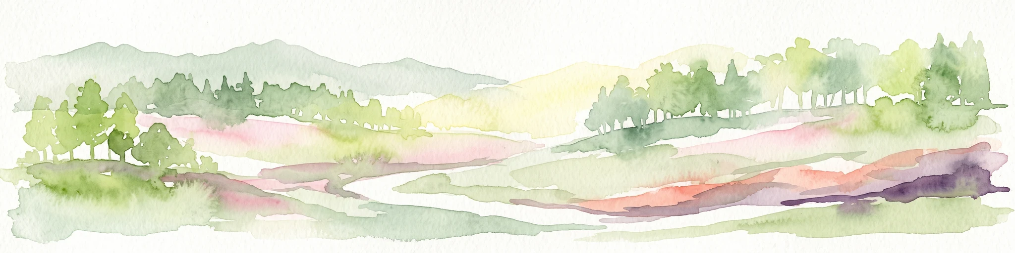
A soft watercolor illustration depicting a riverbank with light green trees and a prominent rocky outcrop or cliff face near the water.
Natural monumentCentral Bohemian Region
About 8.7 km away#2 closest

East

Skalní sruby Jizery Natural Monument: Sandstone Landforms and River Geography

Protected riparian sandstone terrain in the Central Bohemian Region

This natural monument protects a rare geological formation along the Jizera River, where lateral erosion has created an extensive sandstone rock shelter. The site showcases advanced pseudokarst weathering and supports a dense concentration of botanical and avian diversity within its two-hectare boundary in the Central Bohemian Region.

Area
0.02 km²
Established
1979
IUCN
III
Relief
Upland
Natural monumentCentral Bohemian Region
About 11 km away#3 closest

East

Vrch Káčov Natural Monument: Mapped Geological Features in Central Bohemia

Volcanic rock formations and regional terrain context

Vrch Káčov is a designated natural monument preserving a unique volcanic hill and rock suk in the Central Bohemian Region. Its landscape is defined by contact metamorphism and porcelanite formations, offering a concentrated look at the geological evolution of the Jičínská pahorkatina hill country. The site provides a valuable reference for analyzing protected Bohemian terrain and its surrounding geographic characteristics.

Area
0.019 km²
Established
1953
IUCN
III
Relief
Upland
A watercolor painting showing a winding river through a green landscape with soft hills in the distance and tall grasses in the foreground.
Natural monumentLiberec Region
About 13 km away#4 closest

Northwest

Meandry Ploučnice u Mimoně: Mapping the Protected River Landscapes of the Liberec Region

Unregulated Bohemian river meanders and wetland habitats

Spanning 49 hectares in the Liberec Region, Meandry Ploučnice u Mimoně preserves a naturally shifting river corridor. The monument protects complex meander lakes and active floodplain dynamics, providing a sanctuary for rare dragonfly, butterfly, and mammal populations within an otherwise developed lowland environment.

Area
0.494 km²
Established
2014
IUCN
IV
Relief
Lowland
Natural monumentLiberec Region
About 15 km away#5 closest

North

Vranovské skály Natural Monument: Protected Sandstone Towers in the Liberec Region

Geographic analysis of sandstone pillars and protected upland forest terrain.

Vranovské skály stands as a significant natural monument in the Liberec Region, preserving a cluster of bright sandstone towers that contrast with the dark forests of the Ralská pahorkatina. This protected area includes several named formations and botanical niches shaped by historical land use. Its geography offers a clear example of sandstone geomorphology and its role in maintaining regional biodiversity within the broader context of northern Bohemia.

Area
0.129 km²
Established
1991
IUCN
IV
Relief
Upland
Natural monumentStředočeský kraj
About 18 km away#6 closest

East

V Dubech Natural Monument: Protected Wetland Landscapes and Geography in Czech Republic

A compact wetland mosaic in the Středočeský kraj region

V Dubech is a protected natural monument situated at the base of the Příhrazské skály sandstone formations in the Czech Republic. This site preserves a valuable wetland mosaic, including base-rich peat meadows and alder woodlands that support rare species. The park provides an essential look at the localized, water-dominated geography within the broader context of the Bohemian Paradise protected landscape.

Area
0.047 km²
Established
1998
IUCN
III
Relief
Lowland
A watercolor painting showing a panoramic view of a wetland area with reeds in the foreground and a forested ridge in the background.
Protected landscapeMladá Boleslav District
About 19 km away#7 closest

Southeast

Přírodní park Chlum: Exploring the Geography of a Protected Czech Woodland Ridge

Mladá Boleslav District protected landscape analysis

Examine the structural character of Přírodní park Chlum, an asymmetric horst ridge in the Czech Republic that serves as a vital ecological corridor. This protected landscape preserves rare forest communities and geological features, providing essential habitat continuity across the surrounding agricultural lowlands of the Mladá Boleslav District.

Area
13.19 km²
Established
2000
Relief
Upland
Climate
Temperate
Natural monumentSemily District
About 21 km away#8 closest

East

Vústra Natural Monument: Mapping the Protected Wetland Landscapes of the Semily District

A concentrated botanical and geological sanctuary in the Bohemian Paradise

Vústra is a highly localized natural monument in the Semily District that preserves a vital wetland complex including a pond and calcareous fen. Surrounded by characteristic sandstone rock towers and alder-spruce forests, the site serves as a vital ecological anchor within the wider Bohemian landscape. This detail page traces the specific boundaries and topographical features that define this protected monument.

Area
0.023 km²
Established
1996
IUCN
IV
Relief
Lowland
Natural monumentKrálovéhradecký kraj
About 22 km away#9 closest

East

Meziluží Natural Monument: Mapping Protected Landscape Geography in Královéhradecký Kraj

A study of sandstone terrain and historic conservation within the Bohemian Paradise

Meziluží provides a detailed look at the geography of small-scale protected sites in the Czech Republic. By analyzing its steep sandstone slopes and traditional orchard-pasture land use, users gain a clearer understanding of the complex relationship between regional geology and botanical conservation history in the Bohemian Paradise area.

Area
0.015 km²
Established
1997
Relief
Upland
Scope
Terrestrial
A horizontal watercolor painting depicting a soft landscape with green hills, light forest foliage, and a water body in a muted, warm color palette.
Protected landscapeMladá Boleslav District
About 23 km away#10 closest

Southeast

Přírodní park Čížovky: Geographic Overview of the Protected Landscape in Mladá Boleslav District

Mapping wetlands, aquatic ecosystems, and rural terrain

Přírodní park Čížovky serves as a significant protected landscape in the Mladá Boleslav District. It features a dense mosaic of ponds, marshes, and orchards. Explore the mapped boundaries of this terrain, ranging from the Křesovský potok valley to the elevated Křemenice ridge, showcasing a classic Central Bohemian ecological heritage.

Area
386 km²
Established
1998
Relief
Upland
Climate
Temperate
Watercolor painting showing a river, grassy banks, scattered trees, and distant hills
Protected landscapeCzechia
About 24 km away#11 closest

East

Bohemian Paradise Protected Landscape: Discover Czech Republic's Sandstone Geology and Park Boundaries

Mapped sandstone formations and historic regional geography.

Delve into Bohemian Paradise, a protected landscape in the Czech Republic celebrated for its dramatic sandstone rock formations and ancient castles. This detailed entry provides context on its unique geological character, the extent of its protected boundaries, and its significant position within the regional geography. Explore the mapped terrain and understand the atlas value of this historic protected area.

Area
181.17 km²
Established
1955
IUCN
V
Relief
Upland
A watercolor illustration depicting a soft, panoramic landscape of gentle, rolling green hills, scattered trees, and grassland areas with a muted color palette.
Nature reserveStředočeský kraj
About 26 km away#12 closest

Southwest

Na oboře Nature Reserve in Středočeský kraj: A Detailed Geographic Atlas Overview

Protected loess slopes and rare steppe ecosystems.

Na oboře comprises a series of south-facing slopes in the Středočeský kraj region, serving as a sanctuary for heat-loving flora and critically endangered insect species. The reserve features a rare geological intersection of wind-deposited loess and sandstone bedrock, forming a warm, mineral-rich landscape that remains a vital, mapped study area for steppe-like grassland conservation in the Czech Republic.

Area
0.034 km²
Established
2001
IUCN
IV
Relief
Upland
A soft watercolor painting of a hilly landscape featuring pine trees and low-lying vegetation in shades of green, yellow, and red, with a pale background.
Natural monumentLiberec Region
About 26 km away#13 closest

West

Martinské stěny Natural Monument: Sandstone Cliff Geography and Protected Landscapes

Geomorphology and sandstone terrain in the Liberec Region

Martinské stěny features a prominent quartz sandstone cliff wall shaped by geological forces in the Bohemian Cretaceous Basin. This natural monument serves as a key protected area for heath and lichen communities, representing the unique cliff-side geography found throughout the Liberec Region in the northern Czech Republic.

Area
0.032 km²
Established
2002
IUCN
III
Relief
Upland
A soft, light-filled watercolor painting of a rolling Czech landscape featuring deciduous trees, grassy meadows, and distant hills.
Natural monumentStředočeský kraj
About 28 km away#14 closest

South

Slepeč Natural Monument: Protected Woodland Geography in the Central Bohemian Region

A rare botanical sanctuary in the Jizera basin.

The Slepeč natural monument represents a concentrated area of high botanical importance, shielding a remnant oak-hornbeam woodland from surrounding cultivation. Located in the Středočeský kraj, this site is renowned for housing diverse orchid species, including the lady's slipper, within a specialized microclimate found in the lowland terrain. Its protected status offers a unique look at forest conservation in an agricultural heartland.

Area
0.088 km²
Established
1984
IUCN
IV
Relief
Upland
A horizontal watercolor painting of a serene pond surrounded by marshy vegetation and small clusters of trees under a soft, light-filled sky.
Nature reserveLiberec Region
About 30 km away#15 closest

Northwest

Manušické rybníky Nature Reserve and Protected Wetland Landscape in Liberec Region

Historic fishpond mosaic and critical amphibian refuge

Manušické rybníky is a well-documented nature monument in the Czech Republic featuring a chain of seven fishponds established in 1575. The site preserves vital lowland peatland fragments and pine-oak woodlands, serving as a significant ecological node for wetland flora and amphibians within the broader landscape of the Liberec Region.

Area
0.143 km²
Established
2012
IUCN
IV
Relief
Upland
A soft watercolor illustration of a rolling natural landscape with green trees, distant hills, and gentle colors on a white background.
Natural monumentLiberec Region
About 31 km away#16 closest

East

Na Vápenici Natural Monument: Geological Mapping and Protected Landscape Analysis

Calcareous outcrops and rare forest microhabitats in the Liberec Region

Na Vápenici represents a focused example of geological diversity, where a distinct limestone outcrop supports unique vegetation and paleontological richness. This natural monument provides a case study for understanding how isolated calcareous substrates contribute to the broader ecological health and terrain character of the Liberec Region.

Area
0.079 km²
Established
2008
IUCN
IV
Relief
Upland
Natural monumentStředočeský kraj
About 31 km away#17 closest

Southwest

Vehlovické opuky Natural Monument: Geological Mapping and Historical Mining Context

Protected paleontological and mining heritage in the Czech Republic

Vehlovické opuky stands as a compact but rich natural monument in the Středočeský kraj region. This protected area showcases the geological legacy of the Bohemian Cretaceous Basin, preserving fossilized remains within yellowish opuka beds and demonstrating historical underground extraction techniques that now support local bat populations.

Area
0.009 km²
Established
2002
IUCN
III
Relief
Lowland
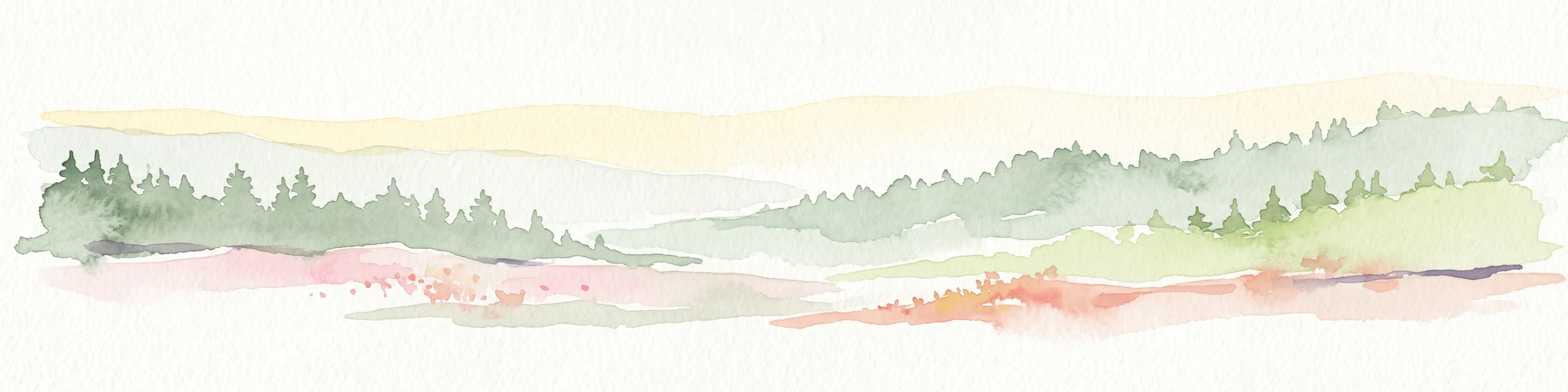
A watercolor illustration of rolling hills with a treeline and meadow, featuring soft green and orange tones on a white background.
Natural monumentKrálovéhradecký kraj
About 31 km away#18 closest

East

Na víně Natural Monument: Protected Opoka Slopes and Botanical Geography in Královéhradecký kraj

Geographic atlas and ecological profile of a protected Czech natural monument

Na víně represents an essential, small-scale protected landscape in the Jičín District of Královéhradecký kraj. This site is defined by its characteristic calcareous opoka hill slopes and its role as a botanical refuge for rare, thermophilous species. By mapping the interaction between the underlying Cretaceous geology and the surviving dry grassland communities, this analysis highlights the importance of localized conservation within the broader Bohemian Cretaceous Basin.

Area
0.055 km²
Established
1990
IUCN
IV
Relief
Upland
A watercolor illustration of rolling hills and a green landscape with a soft, abstract style.
Nature reserveLiberec Region
About 31 km away#19 closest

West

Ronov Nature Reserve: Protected Volcanic Geography and Scree Forest Ecosystems in Liberec Region

Volcanic landmark with basalt talus slopes and historic ruins

Ronov rises as a distinctively shaped basalt cone from the rolling terrain of the northern Czech Republic. This nature reserve offers significant insight into the geological and botanical character of the Ralská pahorkatina, featuring extensive stone seas and rare plant habitats situated around ancient castle remains.

Area
0.09 km²
Established
1995
IUCN
IV
Relief
Mountain
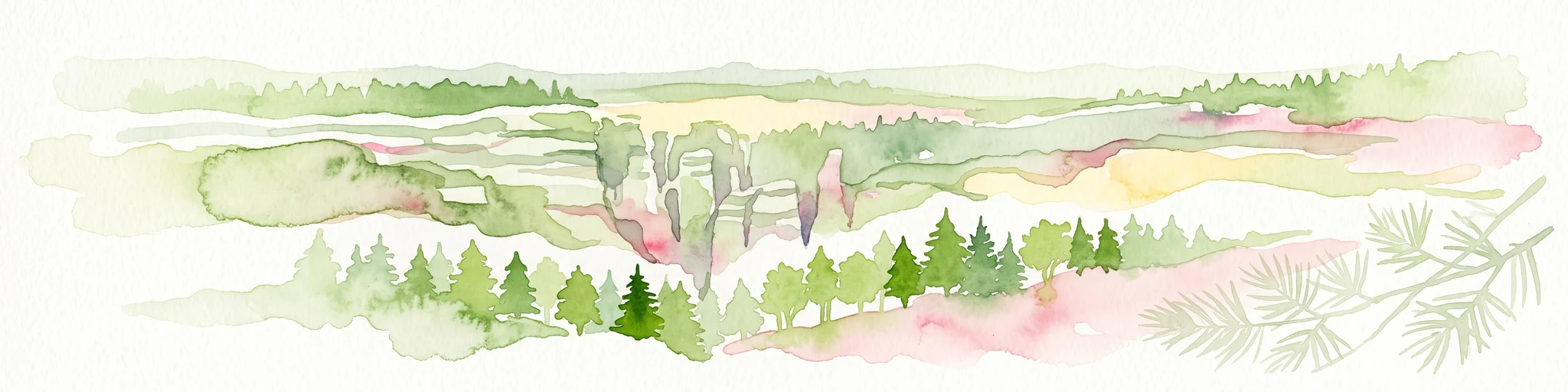
Watercolor illustration of sandstone rock towers and coniferous trees in a landscape setting with a light color palette.
Nature reserveKrálovéhradecký kraj
About 33 km away#20 closest

East

Prachovské skály Nature Reserve: Geologic Atlas of Bohemian Sandstone Formations

Mapped sandstone towers and protected forest terrain in Královéhradecký kraj

Prachovské skály consists of a concentrated sandstone massif characterized by towering pinnacles and labyrinthine gorges. This nature reserve serves as a prime example of sedimentary erosion in the Bohemian Paradise region, offering a distinct landscape profile that stands in sharp contrast to the surrounding agricultural plains of the Czech Republic.

Area
2.624 km²
Established
1928
IUCN
IV
Visitors
300K annual
Distance methodology

Geographic measurements, not driving distances

How nearby park distances are calculated

Distances use park boundaries whenever the available geometry allows it. When one or both boundaries are missing, the mapped park locations provide a clearly labelled estimate. Every value represents straight-line geographic separation and does not use roads or routing.

Boundary distance

Calculated between the nearest points of both park boundaries.

Location-to-boundary estimate

Estimated from one mapped park location to the nearest boundary of the other park.

Mapped-location estimate

Estimated between the mapped locations of both parks.

MoriAtlas Explorer

Explore the Mapped Landscapes and Geography of Velký Radechov

Continue your geographic discovery by examining the precise boundaries and natural terrain of Velký Radechov. MoriAtlas provides structured insights into this neovolcanic protected site in the Central Bohemian Region to help you understand its unique role in regional conservation landscapes.