Mori Atlas logo
Park earthquake history

A structured database of recorded events mapped by epicentre distance to the Veluwe forest.

Historical Earthquake Records and Seismic Activity Catalogue for the Veluwe Region

This historical catalogue provides a transparent view of recorded seismic activity associated by location with the Veluwe in the Netherlands. The information includes event dates, measured magnitudes, and depths for each documented epicentre, allowing for a clear overview of regional seismic history. Users can examine these historical records to understand how past geological events are spatially linked to the forested moraine landscape of this significant Dutch protected area.

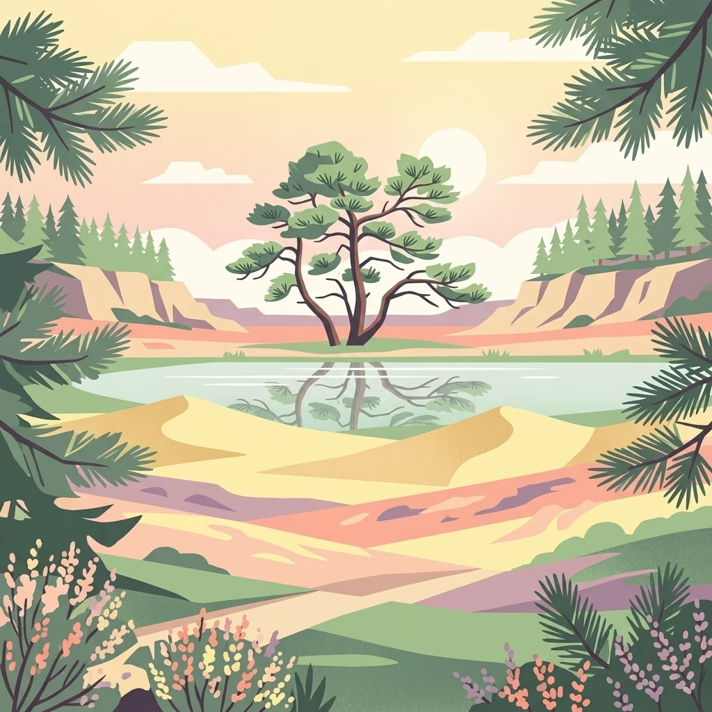
A digital illustration depicting a calm pond reflecting a solitary tree, set amidst sandy dunes and rolling hills under a soft sunset sky, framed by evergreen boughs.

Netherlands' largest forested natural region, shaped by ice-age push moraines, heathlands, and shifting sands.

Veluwe

The Veluwe is a predominantly forested natural region in the Dutch province of Gelderland, covering roughly 1,000 square kilometers between the IJssel valley, the Veluwerandmeren, the Nederrijn, and the Gelderse Vallei. It is one of the most ecologically significant areas in the Netherlands, recognized as a Natura 2000 site and hosting a rich mosaic of forests, heathlands, inland sand dunes, fens, and spring-fed streams. Geologically, the landscape is dominated by push moraines formed during the Saalian glaciation around 150,000 years ago, making the Veluwe the highest ice-pushed ridge in the Netherlands outside of South Limburg. The Signaal Imbosch, at 110 meters, marks the region's high point. Human history runs deep here too, from prehistoric burial mounds and Celtic fields, through medieval deforestation that triggered massive sand drift, to the large-scale reforestation programs of the late 19th and early 20th centuries that transformed a near-desert back into woodland. Today the Veluwe stands out as a major destination for wildlife observation and outdoor recreation in the Netherlands. It is home to red deer, wild boar, mouflon, and the recently returned European wolf, as well as iconic shifting sand landscapes like the Kootwijkerzand and the country's most important heathland complex. Within the Veluwe lie three national parks: Hoge Veluwe, Veluwezoom, and the broader protected Natura 2000 area that encompasses much of the region.

Location
Netherlands
Park type
Protected area
Area
1,000 km²
Highest point
110 m
Veluwe Protected Area Map and Geography

Compare source-linked epicentres across Veluwe’s hills, forests, wetlands, lakes and dunes

Review reported earthquake geography around Veluwe

Search reported earthquakes around Veluwe, an upland protected area with major water presence across hills, forest, wetlands, lakes, rivers and dunes; Filter occurrence time, magnitude, depth, locality and calculated boundary distance, with source access. The missing area is not estimated, and proximity does not prove occurrence inside Veluwe, environmental effects, present danger or future events.

Sort by
Magnitude
Location

This page describes catalogued earthquakes associated with the park by epicentre location and distance. It does not establish causation, assess current danger, or predict future earthquakes.

No earthquake records match the current filters

Park atlas

Move from Veluwe earthquake history to other places

Browse further parks and protected destinations beyond Veluwe

The following links lead beyond its forests, heathlands, push moraines, and shifting sands to other protected destinations. They are not Dutch landscape substitutes or places grouped by status, geology, seismic history, proximity, hazard, or documentation.
Watercolor painting of rolling hills, green trees, and a winding path
National parkGelderland
Park boundaries overlap#1 closest

Southwest

De Hoge Veluwe National Park: Mapped Protected Landscape & Geographic Atlas Context

Explore Gelderland's unique heathland, sand dune, and woodland terrain.

De Hoge Veluwe National Park represents a distinctive protected area within the Gelderland region of the Netherlands. Its landscape is characterized by a unique mosaic of heathlands, sand dunes, and woodlands, shaped by ice age processes and historical land use. This page offers an atlas-focused exploration of its geographic setting, mapped boundaries, and the specific terrain that defines this significant natural and cultural heritage site.

Area
55 km²
Established
1935
IUCN
II
Visitors
629.4K annual
Watercolor illustration of a park landscape with a winding stream, grassy fields, and distant hills
National parkGelderland
Park boundaries overlap#2 closest

South

Veluwezoom National Park: Protected Landscape Atlas and Gelderland Geography

Explore oldest Dutch national park, heathlands, and glacial terrain.

Veluwezoom National Park is the Netherlands' inaugural national park, located in Gelderland. This page provides an atlas-driven exploration of its protected landscape, characterized by rolling heathlands, ancient forests, and dramatic glacial push moraines. Users can discover the park's geographical features, mapped boundaries, and its significance as a conserved natural area within the Veluwe region.

Area
50 km²
Established
1930
IUCN
II
Relief
Upland
Nature reserveGelderland
2.2 km away#3 closest

East

Landgoederen Brummen Nature Reserve: Protected Landscape and Geographic Atlas Entry

Ecological transition zone in the Gelderland province

Landgoederen Brummen showcases a rare geological intersection in the Netherlands where Veluwe sand ridges meet IJssel river clays. This protected area features a unique concentration of seepage-fed pools, blue grasslands, and alluvial alder forests, demonstrating how centuries of estate management coexist with preserved wild habitat remnants.

Area
6.77 km²
Established
2013
Relief
Lowland
Climate
Temperate
Nature reserveNetherlands
5 km away#4 closest

West

Arkemheen Nature Reserve: Geography and Protected Landscape Context in the Netherlands

Mapping medieval polder patterns and wetland bird habitats.

Arkemheen is a significant nature reserve in the Netherlands characterized by a flat, open polder landscape and historic fourteenth-century agricultural patterns. The area offers a distinct ecological profile, integrating freshwater border lakes with saline-influenced grasslands that support an internationally recognized population of meadow and wetland birds.

Area
14.3 km²
Established
1356
Relief
Lowland
Climate
Temperate
A watercolor painting showing a soft, idyllic landscape with rolling hills in the background, a winding path or stream in the middle ground, and grasses and trees in the foreground.
Nature reserveGelderland
About 6.6 km away#5 closest

Southwest

Binnenveld Nature Reserve: Protected Wetland and Meadowland in Gelderland

Rare blue grasslands and stream valley quaking bogs

Located in the Gelderse Vallei, Binnenveld stands as a vital nature reserve representing the complex history of Dutch polder landscapes. The area combines traditional meadowland with strictly protected habitats like the Bennekomse Meent, serving as a haven for meadow birds and an important site for ecological restoration and wetland preservation.

Area
1.11 km²
Established
2014
Relief
Lowland
Climate
Temperate
Protected areaFlevoland
13 km away#6 closest

North

Ketelmeer & Vossemeer: Protected Area Geography, Boundaries, and Landscape Context

Mapping freshwater lake dynamics in the Flevoland and Overijssel border region.

Ketelmeer & Vossemeer constitutes a significant Natura 2000 wetland complex where riverine floodplains meet engineered polder landscapes. This analysis provides insights into the site's role as a critical Important Bird Area and its position within the broader IJssel delta network of lakes and water channels.

Area
38.43 km²
Established
2013
Relief
Lowland
Climate
Temperate
Watercolor landscape showing green hills, forests, and a small stream with grassy patches
National parkUtrecht Province
About 15 km away#7 closest

Southwest

Utrechtse Heuvelrug National Park: Mapped Protected Landscape and Geographic Atlas

Discover Utrecht Province's glacial ridge and diverse natural terrain.

Utrechtse Heuvelrug National Park is a significant protected natural area located in Utrecht Province, renowned for its unique glacial ridge topography. This entry provides detailed information about its mapped boundaries, diverse landscapes including heathlands and forests, and its importance as an ecological corridor within the Netherlands. Explore the park's distinct geography and its role in regional conservation through our structured atlas view.

Area
100 km²
Established
2003
IUCN
II
Visitors
1M annual
Nature reserveNorth Rhine-Westphalia
16 km away#8 closest

Southeast

Unterer Niederrhein Nature Reserve: Geographic Atlas and Floodplain Landscape Mapping

Riverine wetland ecosystems in North Rhine-Westphalia

Uncover the protected landscape of Unterer Niederrhein, an expansive bird protection area along the German Lower Rhine. The region features a mosaic of sand banks, oxbow lakes, and seasonally flooded grasslands, creating a highly interconnected riverine ecosystem that spans across the districts of Kleve and Wesel.

Area
258.094 km²
Established
1983
Relief
Lowland
Climate
Temperate
MoriAtlas Explorer

Explore the Geographic Boundaries and Terrain of the Veluwe Protected Area

Continue discovering the Veluwe through a detailed examination of its ice-age push moraines and diverse inland habitats. Use the MoriAtlas datasets to analyze the spatial patterns of these forests, heathlands, and sand dunes that define the natural character of the central Netherlands landscape.