Mori Atlas logo
Park earthquake history

A historical dataset of epicentres and magnitudes mapped to the Bonaire island landscape

Recorded Seismic Activity and Earthquake History Near Washington-Slagbaai National Park

This collection provides a comprehensive view of recorded seismic activity documented within the geographic vicinity of Washington-Slagbaai National Park. Each entry tracks historical earthquake data including event dates, magnitudes, and epicentre distances calculated in relation to the park boundaries. Access these standardized records to better understand the seismic context of this Caribbean protected area through reliable, chronologically organized data.

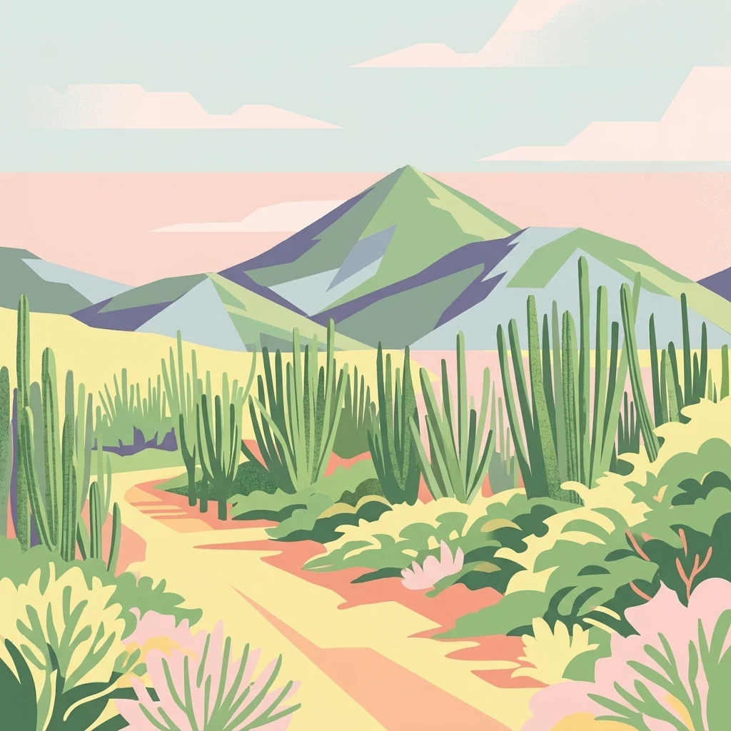
A stylized flat-design illustration of a desert landscape featuring a trail through cacti and shrubs leading to a central mountain peak under a pastel sky.

Bonaire's first national park, protecting dunes, salinas, and the island's highest point.

Washington-Slagbaai National Park

Washington-Slagbaai National Park is a protected natural area on the island of Bonaire in the Caribbean, covering roughly 5,643 hectares in the northwestern part of the island. Established in 1969, it is the oldest national park on Bonaire and one of the earliest protected areas in the Dutch Caribbean. The park combines coastal dunes, beaches, mangrove systems, salt lakes, woodland, and dry scrub habitats, creating a varied environment that supports both terrestrial and wetland species. At the heart of the park's identity are the salinas of Slagbaai and Goto, two inland saltwater complexes that were recognized under the Ramsar Convention in 1971 as internationally important wetlands. These saline lakes host flamingos and a rich mix of migratory and resident shorebirds. Inland from the coast, the terrain rises toward the Brandaris, the highest point on Bonaire at 241 meters, offering panoramic views across the island's arid interior. The park's cultural origins lie in the former Washington Plantation, whose history of land use and salt production is interpreted at the visitor center near the park entrance. Today the park is managed by STINAPA, the National Parks Foundation Bonaire, which also oversees the surrounding marine park. Washington-Slagbaai is recognized as a key terrestrial counterpart to Bonaire's globally known marine conservation system.

Location
Caribbean Netherlands
Park type
National park
Established
1969
Area
56.4 km²
Highest point
241 m
Washington-Slagbaai National Park Geography

Compare source records across dunes, beaches, wetlands, lakes, forest, coast and mountains

Search earthquake geography around Washington-Slagbaai National Park

Explore earthquake reports around Washington-Slagbaai National Park, a 56.43 km² upland park with major water across dunes, beach, wetlands, lakes, forest, coast and mountains; Filter reported date, magnitude, depth and park distance while retaining each source. Protection scope is not inferred, and proximity does not confirm boundary occurrence, impacts, current risk or future activity.

Sort by
Magnitude
Location

This page describes catalogued earthquakes associated with the park by epicentre location and distance. It does not establish causation, assess current danger, or predict future earthquakes.

No earthquake records match the current filters

Park atlas

Continue beyond Washington-Slagbaai National Park earthquake data

Explore more parks after Washington-Slagbaai National Park

From Washington-Slagbaai National Park's earthquake record, continue to a distinct collection of protected destinations; the 56.43 km² source park records upland relief, major waters, dunes, beaches, wetlands, lakes, forests, coast, and mountains. Those facts do not characterize the suggested cards, establish proximity, or imply comparable park standing, seismic history, evidence quality, or danger.
Watercolor painting of a landscape featuring green trees, hills, and cacti under a light blue sky
National parkCuracao
About 76 km away#1 closest

West

Christoffelpark National Park: Curacao's Volcanic Terrain and Protected Landscape Atlas

Explore mapped boundaries and unique dry forest ecosystems.

Christoffelpark represents Curacao's most vital protected natural area, offering a deep dive into its unique geography and landscape. This national park preserves the island's highest peak, Christoffelberg, alongside distinctive dry forest ecosystems, endemic species, and the remnants of colonial plantations. Explore the mapped terrain, understand the regional context, and appreciate the rich natural and cultural heritage that defines this important protected landscape on Curacao.

Area
10.4 km²
Established
1978
IUCN
II
Relief
Mixed relief
National parkVenezuela
137 km away#2 closest

South

Morrocoy National Park: Venezuela's Coastal National Park with Distinct Protected Geography

Explore the mapped protected landscape and regional context.

Morrocoy National Park stands as a key protected area within Venezuela, offering a distinct focus for geographic exploration. As a national park, its mapped boundaries delineate a significant natural landscape critical for understanding regional conservation and the country's broader atlas of protected lands. Discover the unique geographic characteristics and the atlas-driven context of this important Venezuelan protected area.

Area
320.9 km²
Established
1974
IUCN
II
Relief
Mixed relief
National parkVenezuela
147 km away#3 closest

East

Archipiélago Los Roques National Park: Venezuela's Caribbean Marine Protected Landscape Explorer

Mapped coral reefs, protected islands, and Caribbean geography.

Archipiélago Los Roques National Park is a critical national park in Venezuela, safeguarding a remarkable archipelago in the Caribbean Sea. The park's landscape is defined by its vibrant coral reef systems, pristine white-sand beaches, and diverse marine habitats. Users can explore the geographic extent of this protected marine area, understanding its importance for conservation and its unique position within the southern Caribbean's natural geography.

IUCN
II
Climate
Tropical
Scope
Marine
Water
Water-dominated
National parkFalcón State
151 km away#4 closest

Southwest

Médanos de Coro National Park: Venezuela's Unique Arid Landscape and Protected Dune System

Explore the mapped geography of this coastal desert in Falcón State.

Médanos de Coro National Park represents a remarkable protected area within Venezuela's Falcón State, renowned for its spectacular and active sand dune systems. This national park encompasses approximately 91 square kilometers of unique terrain, including large sand formations, salt marshes, and mangrove swamps, contributing to its designation as a key conservation site for arid coastal ecosystems. Users can explore the park's distinctive landscape, understand its geographic context, and discover the patterns of wind-sculpted dunes that define this Venezuelan national park.

Area
91 km²
Established
1974
IUCN
II
Relief
Lowland
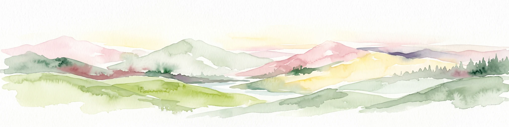
A watercolor painting showing a wide, panoramic view of rolling green hills, distant mountains in shades of pink and muted green, and clusters of evergreen trees against a white background.
National parkAruba
About 165 km away#5 closest

West

Arikok National Park: Mapping the Protected Landscapes and Geological Features of Northern Aruba

Exploring the terrain, coastal cliffs, and cultural heritage of Aruba's premier reserve.

Spanning over 7,000 acres, Arikok National Park forms the core of Aruba's conservation landscape. The park showcases a complex geological story, from the ancient volcanic Aruba Lava Formation and Batholith to the younger, porous limestone plateaus of the south. This protected zone provides a vital refuge for endemic species such as the Aruban rattlesnake and burrowing owl, while preserving layered cultural remnants from Arawak petroglyphs to early gold mining ruins.

Area
32 km²
Established
2000
IUCN
II
Visitors
10K annual
National parkVenezuela
About 168 km away#6 closest

Southwest

Cueva de la Quebrada del Toro National Park: Venezuelan National Park Protected Landscape

Explore its mapped boundaries and regional geographic context.

This page details Cueva de la Quebrada del Toro National Park, highlighting its status as a national park within Venezuela. Understand the park's geographic setting, its role as a protected landscape, and its mapped presence within the country's natural reserves. It provides essential context for exploring its protected boundaries and regional significance for atlas-based discovery.

Area
48.85 km²
Established
1961
IUCN
II
Relief
Upland
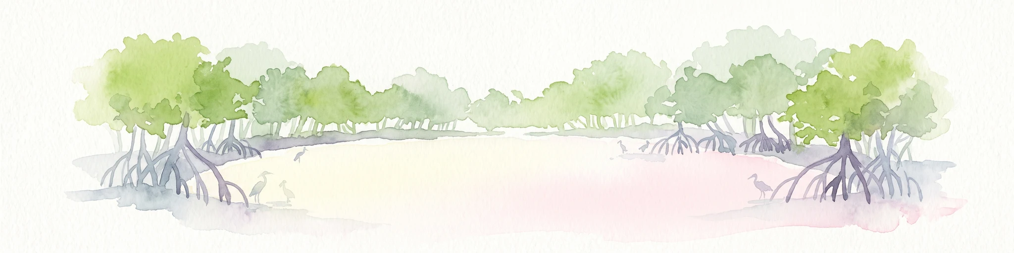
Watercolor painting of mangrove trees with exposed prop roots lining a sandy shore.
Marine protected areaAruba
About 170 km away#7 closest

West

Marine Park Aruba: An Atlas of Protected Coastal Waters and Marine Conservation Zones

Mapping the four-part reserve network across the island coastline

Marine Park Aruba consists of four separate marine protected areas that safeguard the most ecologically significant coastal waters of the island. The reserves protect a diverse array of marine landscapes, ranging from calm mangrove lagoons and seagrass beds to intricate fringing coral reefs. This data-driven overview tracks the park boundaries and regional distribution of these critical Caribbean habitats.

Area
60.2 km²
Established
2019
Relief
Lowland
Climate
Tropical
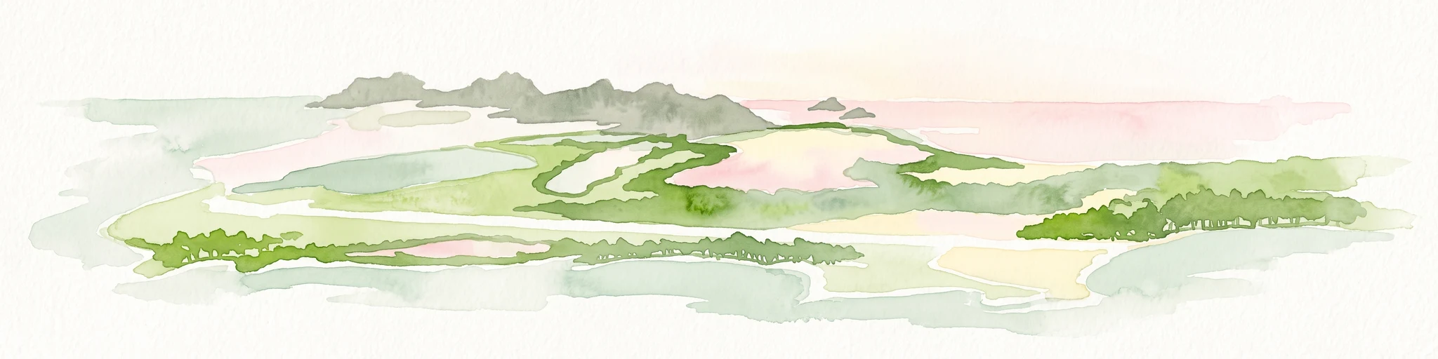
A wide watercolor illustration showing green islands and vegetation surrounded by pale water, with distant grey hills and a soft pink sky.
National parkDependencias Federales
About 175 km away#8 closest

East

Parque nacional Archipiélago de Los Roques: Caribbean Coral Atoll and Marine Protected Area

Mapping the reef architecture and maritime geography of the Dependencias Federales

Explore the expansive marine geography of Parque nacional Archipiélago de Los Roques, a massive protected coral atoll system. This unique environment features vibrant reef barriers, extensive seagrass meadows, and shallow turquoise lagoons that define one of the Caribbean's most significant conservation zones.

Area
2,112 km²
Established
1972
IUCN
II
Relief
Lowland
MoriAtlas Explorer

Explore the Geographic Boundaries of Washington-Slagbaai National Park

Trace the varied topography and protected habitats of Washington-Slagbaai National Park through this detailed geographic index. MoriAtlas provides a structured look at the saline lakes, volcanic uplands, and coastal zones that characterize this essential Caribbean protected area. Start a deeper investigation of the island's natural features and mapped terrain today.