
National parkLimburg
Hoge Kempen National Park
Explore mapped boundaries within the Limburg region.
Hoge Kempen National Park, in Limburg, Belgium. Landscapes: forests, woodlands, and grasslands.
127 km²2006TemperateEasy access

Explore the mapped distribution of protected lands and natural landscapes across Belgium.
Browse profiles of parks and protected areas in Belgium, including Hoge Kempen and Zwin.
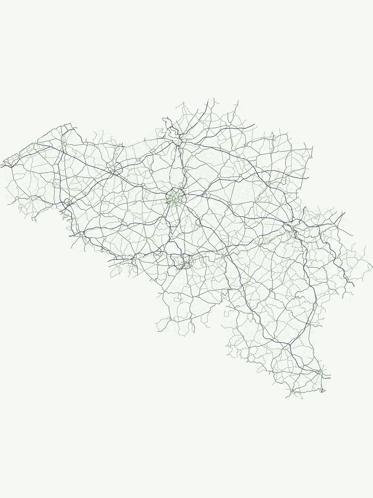
Explore Belgium's protected areas and national parks, tracing their diverse geographic spread across the country's regions.
Browse a comprehensive atlas of Belgium's national parks, protected areas, and nature reserves, covering its varied terrain. Use this full country listing to map the distribution of conservation landscapes, understand regional park geography, and discover protected natural sites across the Low Countries.
Showing 1 to 13 of 13 parks
Explore mapped boundaries within the Limburg region.
Hoge Kempen National Park, in Limburg, Belgium. Landscapes: forests, woodlands, and grasslands.
Mapped protected area boundaries and coastal wetland geography.
Delve into the Zwin Nature Reserve, a significant protected landscape on Belgium's North Sea coast. This area preserves the unique geography of a historical tidal creek system, characterized by extensive salt marshes, mudflats, and specialized coastal vegetation. As a vital habitat for diverse bird species and a showcase of tidal dynamics, Zwin offers a compelling case study in coastal conservation and landscape evolution, providing rich context for geographic and atlas-based exploration.

Explore mapped protected boundaries and regional geography.
This page details the De Zoom, Kalmthoutse Heide Cross-Border Park, a significant national park that merges Belgian and Dutch protected territories. It is recognized for its expansive heathland, a crucial ecosystem in the Benelux region, offering a rich visual and ecological study. The park's mapped landscape context reveals its unique geography, from dry heathlands to Ramsar-designated wetlands, providing valuable insight for atlas-based exploration of protected areas. Understand the park's protected area identity and its role within the regional landscape.
Explore mapped natural terrain and protected area details.
The Hohes Venn, Eifel Nature Park in Belgium represents a key protected landscape for atlas and geographic discovery. This entry focuses on the park's specific identity, its geographic setting within Belgium, and the value it holds for users interested in mapped terrain and protected area exploration. Understand the landscape context and the detailed geographic information available for this significant natural area, supporting structured learning about Belgium's conservation efforts.
Scheldt valley wetlands, forested ridges, and historical landscape estates.
Located in the Hainaut province of Belgium, Parc naturel des Plaines de l'Escaut protects a complex mosaic of lowlands and heritage sites. This area integrates wetlands, heathland openings, and castle estates within a heavily humanized region. Learn about its role as a cross-border protected entity and its contribution to the pan-European ecological network through its varied terrain and water-dominated geography.
Exploring the forested plateaus and meandering valleys of the Belgian Ardennes
Parc naturel des Deux Ourthes presents a complex geography defined by the convergence of the Ourthe river branches and the expansive Forêt de Freyr. This protected landscape contains rare upland peat bogs and dramatic rock formations, offering a dense, multi-layered terrain that defines the ecological character of the Province de Luxembourg. Its boundaries reflect a significant commitment to forest preservation and habitat conservation within the broader Wallonian natural context.
Karst geology, limestone tienne hills, and river valley terrain
Parc naturel Viroin-Hermeton covers a vast area in Namur province, defined by its geological contrast and biodiversity. The landscape features deep karst fissures known as fondrys, sunny limestone tienne hills, and dramatic river valleys where the Eau Noire and Eau Blanche meet. This atlas entry provides a structured look at the terrain, mapping the transition from agricultural plateau to forest ecosystems within this significant protected area.
Mapped protected area discovery within Belgium's geography.
Burdinale Protected Area serves as a key point for understanding Belgium's protected lands from an atlas perspective. This page details the park's specific geographic setting and mapped natural landscape, providing essential context for regional geography exploration. Discover the protected boundaries and terrain features that define Burdinale, contributing to a structured overview of conservation areas.
Explore its mapped natural landscape and geographic context.
Gaume Natural Park is a protected area offering a unique perspective on the natural landscapes found within Belgium's Province of Luxembourg. As a key geographic entity, it provides a vital component for atlas exploration, showcasing distinct mapped boundaries and regional terrain. Understand its significance as a protected natural space contributing to the Ardennes region's extensive geography, making it an essential point for structured discovery of protected lands.
River valleys and agricultural heritage in Province de Liège
This regional park protects a distinct landscape defined by the confluence of the Mehaigne and Burdinale rivers within the Hesbaye region. The territory encompasses a mosaic of traditional rural settlements, valley habitats, and cultivated plateaus, providing a clear example of balanced land conservation and agricultural continuity in Belgium.
Geography and mapped river basins of the Belgian Ardennes
Covering over 800 square kilometers, this regional park protects the significant deciduous woodlands of the Anlier massif and the Sûre river valleys. Analyze the geographic scope of this Natura 2000 protected area, tracing its upland terrain and dense riparian networks across the municipalities of the Belgian Ardennes.
Tracing the forest corridors and river valleys of the Walloon region
Situated along the Franco-Belgian border, Parc naturel des Hauts-Pays offers a rare look at an intact bocage and forest landscape. The area is defined by the Grande Honnelle river valley, calcareous grasslands, and high-quality broadleaf woods. Its unique geographic location acts as a critical refuge for rare plant species and preserves a traditional rural identity that has survived across a complex watershed divide.
Mapping the rural bocage and river corridors of southeastern Belgium
Understand the landscape composition of Parc naturel de la Vallée de l'Attert, a protected area bridging the Ardennes and Lorraine regions. This analysis covers the park's semi-bocage structure, alluvial river corridors, and the ecological transition defined by its unique regional geography.
Extend your geographic atlas exploration of national parks, comparing protected landscapes across Western Europe and beyond Belgium's borders.
Parks and protected areas in Germany, including Wadden Sea National Park and Bavarian Forest.
Parks and protected areas in France, including Cévennes and Mercantour.
Parks and protected areas in United Kingdom, including Lake District and Peak District.
Parks and protected areas in Denmark, including Wadden Sea and Thy.
Parks and protected areas in Netherlands, including Hoge Veluwe and Zuid-Kennemerland.

Parks and protected areas in Switzerland, including Swiss National Park and Entlebuch.

Parks and protected areas in Luxembourg, including Haff Réimech and Haard.

Parks and protected areas in Liechtenstein, including Gampriner See and Ruggeller Riet.
Protected area types
Deepen your understanding of Belgium's conservation through its specific park designations. Continue exploring the nuances of national parks, protected areas, and other classified natural landscapes to reveal the country's geographic and ecological patterns. Each designation pathway offers structured insights into the mapped boundaries and regional context of protected territories across Belgium, enriching your atlas discovery.
Narrow your search for parks in Belgium by environmental characteristics.