National parkCosta RicaMountain
La Amistad International Park
Explore its geographic boundaries and landscape context.
La Amistad International Park, in Costa Rica. Landscapes: mountains, forests, and coasts.
1,992 km²1988TropicalRemote access

Browse the geographic distribution and mapped boundaries of Costa Rica's 29 nationally recognized protected areas.
This dedicated route provides an atlas-based exploration of Costa Rica's National Parks, representing a core category of its protected lands. Understand the geographic spread and landscape context of these nationally significant conservation areas. MoriAtlas helps you discover the regional identity and mapped boundaries of these key protected sites across the country.
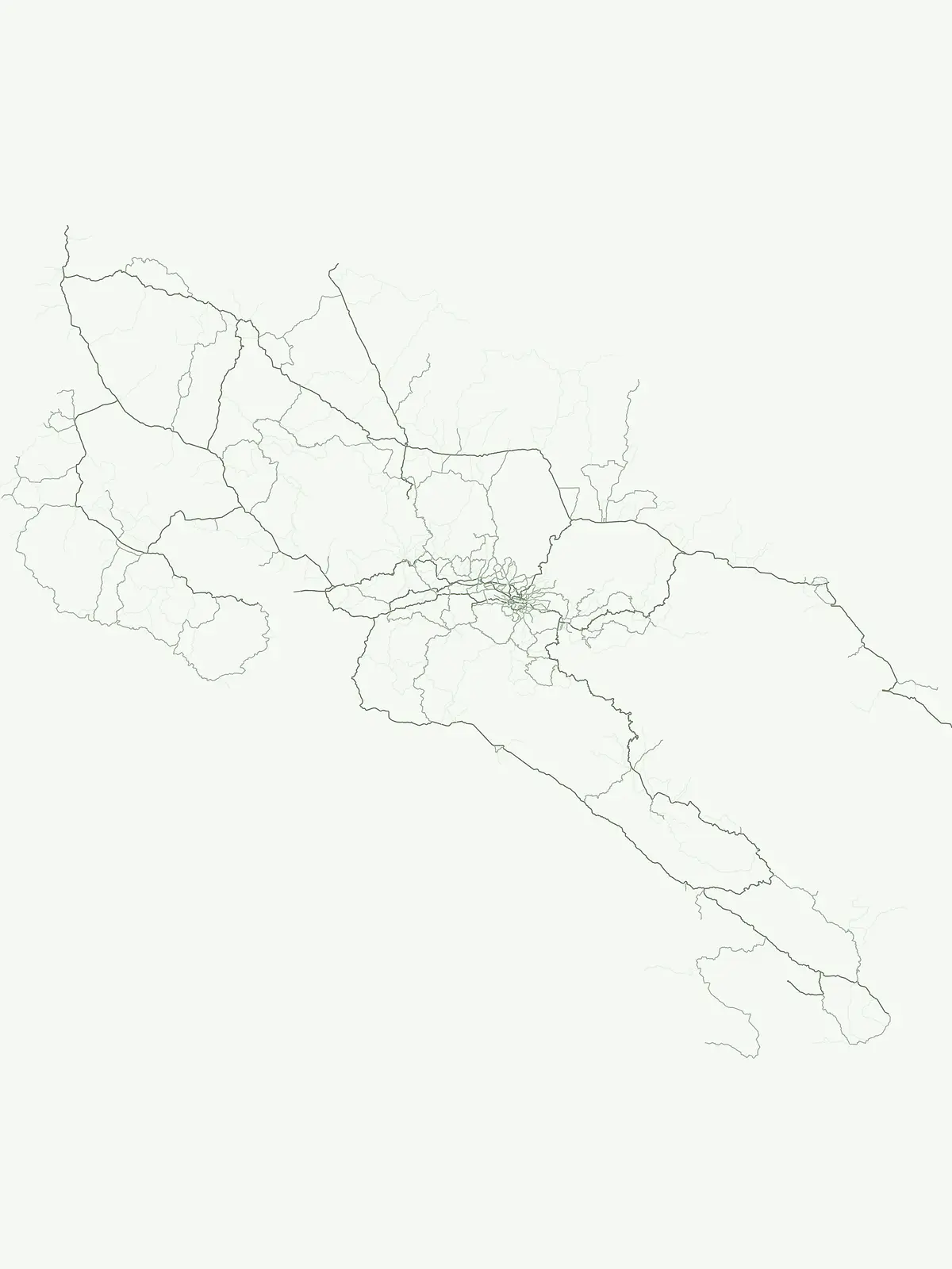
Explore the diverse protected landscapes and vital conservation role across Costa Rican territory.
Explore Costa Rica's extensive network of National Parks, encompassing significant tropical forests, volcanic terrains, and vital marine protected areas. This country-specific overview clarifies the geographic distribution and ecological importance of these flagship protected landscapes within Central America's biodiversity.
Browse the comprehensive list of National parks in Costa Rica, offering a filtered view of the country's flagship protected landscapes and conservation areas. Understand the geographic distribution of Costa Rica's national park network, providing valuable context for exploring these nationally recognized protected areas.
Explore its geographic boundaries and landscape context.
La Amistad International Park, in Costa Rica. Landscapes: mountains, forests, and coasts.
Mapped boundaries and regional atlas context.
Manuel Antonio National Park, in Puntarenas Province, Costa Rica. Landscapes: beaches, coasts, and forests.
National Park mapped in Limón Province, Costa Rica.
Delve into Tortuguero National Park, a significant national park situated in Limón Province, Costa Rica. This entry offers detailed insights into its protected area status, mapped geographic extent, and its role within the regional natural landscape context. Ideal for users seeking a structured atlas view of protected lands and their geographical distribution, providing foundational data for understanding this specific conservation landscape.
Mapping primary forest corridors and coastal protected landscapes.
Corcovado National Park, in Costa Rica. Landscapes: mountains, forests, and wetlands.
Explore mapped park boundaries and regional natural landscape context.
Guanacaste National Park, in Guanacaste Province, Costa Rica. Landscapes: mountains, valleys, and forests.
Detailed geography and protected landscape context for a Costa Rican national park.
Arenal Volcano National Park, in Costa Rica. Landscapes: volcanoes, lakes, and mountains.
Mapped protected landscape and regional geography.
Gain a structured understanding of Rincón de la Vieja National Park as a key protected area within Guanacaste Province. This detail page offers an atlas-focused perspective, highlighting its mapped boundaries and regional geographic significance. Explore how this national park contributes to the protected landscapes of Costa Rica, providing essential context for geographic discovery.
Mapped park boundaries and regional terrain context.
Poás Volcano National Park represents a vital protected landscape within Costa Rica's Alajuela Province. This detail page offers an atlas-centric view, emphasizing the park's geographic identity, its specific mapped boundaries, and its significance as a national park. Explore the natural terrain and understand the regional context of this protected area, ideal for geographic discovery and landscape exploration.
Explore the unique landscape and regional geography of this national park.
Delve into the specific geographic identity of Cocos Island National Park, a protected landscape designated as a national park within Costa Rica. This dedicated page facilitates structured exploration of its mapped boundaries and regional terrain. Understand the park's place in the broader atlas, focusing on its protected-area significance and unique landscape context for detailed discovery.
Map exploration of its volcanic terrain and protected area boundaries.
Delve into Tenorio Volcano National Park, a key national park entity situated within Costa Rica's vibrant geography. This page provides detailed atlas-style information, focusing on the park's mapped boundaries, its characteristic volcanic landscape, and its role in understanding the broader distribution of protected areas across the country. Understand the park's specific geographic identity and its contribution to the nation's natural heritage.
Explore additional protected area types across Costa Rica to understand the country's full conservation landscape, mapping entities beyond its renowned National Parks. Compare various designation categories, such as Marine Protected Areas, to trace the diverse management approaches shaping Costa Rica's natural heritage and geographic protection.
Discover protected marine sites and littoral conservation reserves.
Delve into Costa Rica's dedicated marine protected areas, a critical component of the country's extensive conservation network. This focused exploration highlights protected coastal regions, marine biodiversity sites, and ocean conservation parks, offering a clear atlas view of these vital aquatic ecosystems and their surrounding shorelines. Understand the geographic presence and mapped boundaries of these important marine reserves.
Open the park list for Costa Rica to explore locations and park characteristics.