Mori Atlas logo
Bog landscapes68 represented parks28 countries

Understanding waterlogged environments, peat accumulation, and regional landscape patterns.

Bogs in National Parks and Protected Landscapes: A Global Guide to Peatland Geography

Bogs in national parks and protected landscapes represent slow-evolving physical systems defined by peat soils, nutrient-poor water, and unique hydrological patterns. This guide details how these features shape watersheds, influence local ecology, and define protected terrain across cool, humid, and boreal regions worldwide. Gain insight into the processes that sustain these fragile landscapes and their role in regional environmental geography.

Related tags

bog parksbog parksprotected landscapesphysical geography
Physical landscape profile

Recognizing peat soils and moss carpets reveals hidden hydrological systems across wild terrains

Defining Bogs in National Parks and Protected Landscapes as Unique Physical Terrains

Bogs are unique wet landscapes defined by peat soils, moss carpets, hummocks, and acidic, nutrient-poor waters that accumulate slowly over time. Observing their physical characteristics on maps or on the ground helps clarify how these terrain features organize drainage and shape overall park geography.

Definition

Bogs describe protected landscapes characterized by peat soils, moss carpets, pools, hummocks, sparse shrubs, and nutrient-poor water. The term is used here as a physical-geography feature rather than a legal park designation.

Scale matters when applying the definition. A small occurrence can be locally important without defining the park, while a large system may control watersheds, habitat zones, and the park’s visual identity. Related forms such as wetland, marsh, tundra, lakes are treated separately when their processes and ecological roles are distinct enough to support their own pages.

Clear boundaries are especially important where bogs overlaps with related landforms in the same protected area.

Physical characteristics

Typical characteristics include peat soils, moss carpets, pools, hummocks, sparse shrubs, and nutrient-poor water. Their expression depends on geology, climate, elevation, water, and the length of time available for erosion or ecological development.

Surface detail can be as important as overall form. Fractures, sediment size, moisture, soil depth, vegetation patches, and evidence of erosion reveal how the feature currently functions. Repeated observation across seasons can separate permanent structure from temporary effects such as snow, flooding, leaf cover, or drought.

Scale, continuity, relief, material, and relationship to surrounding terrain provide more reliable identification clues than appearance alone.

Landscape character

In parks, bogs organize views, movement, drainage, and transitions between habitats. They often provide the clearest visual structure for understanding how the wider protected landscape fits together.

On maps and satellite views, the feature may be legible through repeating shapes, drainage patterns, elevation breaks, vegetation boundaries, or coastal outlines. Ground-level views reveal finer transitions that maps simplify. Combining both perspectives makes comparison across parks more accurate and less dependent on one iconic image.

That character influences viewpoints, route structure, visual identity, and the way a park is represented in maps and photography.

Formation and seasonal character

How slow peat accumulation and fluctuating water tables shape visible wetland terrain

Geological origin and formation of Bogs in national parks and protected landscapes

Slow organic decomposition, acidic waterlogging, and millenary peat accumulation provide clear evidence of the long-term hydrological forces shaping wetland ecosystems. Examining global park examples reveals how seasonal frost, fluctuating water tables, and specialized moss species actively alter peatland terrain across different timescales.
  1. 01

    Formation processes

    Waterlogging, low oxygen, acidity, and slow decomposition allow peat to accumulate over centuries or millennia. These processes operate at different rates, so individual park examples may represent both ancient landforms and actively changing terrain.

    Timescale ranges from sudden events to changes lasting millions of years. A storm, flood, eruption, collapse, or freeze-thaw season may alter part of the feature quickly, while uplift, incision, soil development, or ecological succession proceeds much more slowly. Understanding both rates prevents a static reading of a landscape that is still actively evolving.

    Recognizing the responsible process also helps distinguish ancient inherited terrain from landforms that remain visibly active today.

  2. 02

    Seasonal character

    Water tables, frost, flowering, insect emergence, and autumn color drive subtle but important seasonal change. Seasonal timing can change water, vegetation, wildlife use, visibility, and physical stability.

    The visible result may include changes in color, sound, flow, ice, water clarity, beach width, vegetation height, or animal concentration. These are useful interpretation cues, but they also reflect upstream and surrounding conditions, not only weather at the observation point.

    Seasonal comparison can reveal hydrological and ecological processes that remain hidden during a single visit or image survey.

  3. 03

    Recognizing the feature in parks

    Visitors encounter bogs as quiet patterned surfaces where moss, water, and peat reveal very slow landscape formation. This makes the feature useful for interpreting both scenery and the environmental processes operating across a park.

    The feature may also shape sound, temperature, shade, wind, scale, and movement through the landscape. Describing those qualities adds substance to a park page while remaining factual and useful to readers who are comparing protected areas rather than planning a specific itinerary.

    Interpretation should connect what visitors see with formation, ecological function, and conservation sensitivity while avoiding promises about access or conditions.

  4. 04

    Global park examples

    Representative examples include Peatlands in Cairngorms, Lahemaa, and Tatra national parks. These examples show different regional expressions rather than defining every form the feature can take.

    A balanced global set should eventually include several continents and environmental settings rather than only the most photographed sites. Country-level pages can then surface strong local combinations where the underlying park data is sufficiently complete.

    A useful example set should also be revised as park coverage improves, preserving regional balance instead of repeatedly favoring famous destinations.

Ecology and conservation

How localized wet gradients and peat soils support specialized ecological communities globally

Bogs in National Parks and Protected Landscapes: Ecology and Conservation Significance

Waterlogged conditions and acidic substrates in bog landscapes shape unique microclimates that support specialized plants and carbon-storing communities. As bog ecosystems are highly sensitive to hydrological disturbance and warming, protected areas across temperate and boreal regions remain vital for their long-term survival.

Associated ecosystems

Associated environments commonly include sphagnum bog, fen margins, heath, pools, and peat-forming wetlands. The feature may contain several habitat types rather than representing a single ecosystem.

The associated ecosystem is partly controlled by regional climate and partly by the feature itself. The landform can redirect water, create rain or wind shelter, alter fire behavior, or expose unusual substrates. Those feedbacks make landscape features useful connectors between the separate habitat and climate-zone page families.

Small changes in exposure, substrate, water retention, or elevation can create neighboring ecological communities within the same feature complex.

Relationship with biodiversity

Bogs support specialized plants, insects, birds, and carbon-storing communities adapted to acidic nutrient-poor conditions. Species use the resulting gradients, refuges, edges, and resource concentrations in different ways.

Species responses depend on scale and life history. Mobile animals may use the feature as one part of a much larger range, while plants, invertebrates, cave organisms, or aquatic communities may depend on a very specific surface or microclimate. Park interpretation should make that difference clear rather than presenting a generic wildlife list.

Its biodiversity value therefore depends on ecological function and connectivity, not simply on how dramatic the landform appears.

Conservation significance

Drainage, peat extraction, fire, trampling, nutrient input, and warming can damage hydrology and stored carbon. Effective protection therefore depends on maintaining the processes and connections that created the landscape, not only its most visible landmarks.

Because recovery rates vary, impacts that appear small can persist for decades on thin soils, young surfaces, caves, peat, dunes, alpine ground, or arid terrain. Clear zoning, visitor management, catchment protection, and long-term observation can reduce pressure without freezing an inherently changing landscape.

Effective protection must consider the processes and catchments sustaining the feature, including influences that originate outside a park boundary.

Global distribution

Bogs occur across cool humid regions, boreal lowlands, temperate uplands, and subpolar landscapes. Their scale and form vary with regional geology, climate, and environmental history.

Many examples cross political or administrative boundaries because the processes that create them operate at watershed, mountain-range, coastal, or geological scale. Country pages can later show regional concentrations, while the global page should explain the shared pattern and the major environmental contrasts among continents.

The resulting pattern reflects both where the feature can form and where sufficiently intact examples have received protected status.

Representative parks

Contrast peatland systems across diverse climates and geographic elevations.

Global Index of Bogs in National Parks and Protected Landscapes

Represented parks preserve fragile peatlands characterized by slow decomposition, unique acidic soils, and specialized moss carpets. Comparing separate park environments allows for direct analysis of wetland hydrology across various climates, even where peat soils form only a minor segment of the wider terrain.
National parkChom Thong DistrictMountain

Doi Inthanon National Park

Mapped geography and protected land context in Chom Thong District.

Doi Inthanon National Park, the crown jewel of Thailand's northern highlands, represents an unparalleled opportunity for geographic discovery. As the nation's highest mountain national park, it showcases exceptional vertical zonation of ecosystems, from tropical deciduous forests to rare cloud forests and sphagnum peat bogs. This protected landscape in Chom Thong District is vital for watershed protection and offers critical insights into Thailand's montane biodiversity, making its mapped boundaries and terrain essential for atlas-based exploration.

482 km²1972TropicalEasy access
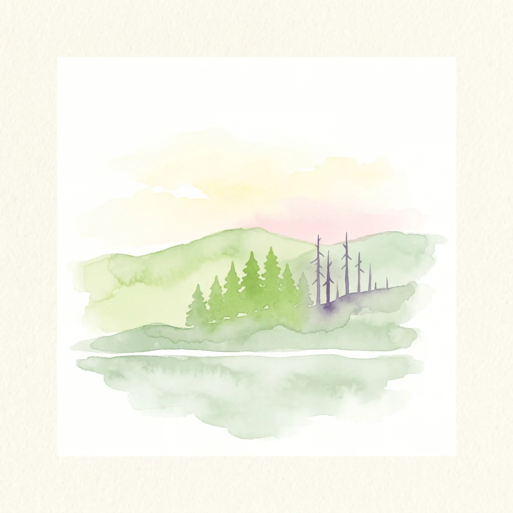
Watercolor painting of rolling hills, a forest, and a reflective lake under a soft sky
National parkMountain

Bavarian Forest National Park

Explore mapped terrain and protected park boundaries in Germany.

Dive into the specifics of Bavarian Forest National Park, a key protected area noted for its distinct landscape and geographic importance. This MoriAtlas entry details the park's mapped boundaries and its setting within the surrounding regional geography, offering a clear atlas-style view of its natural terrain. Understand its identity as a national park and discover its place in Germany's protected lands.

242.45 km²1970BorealModerate access
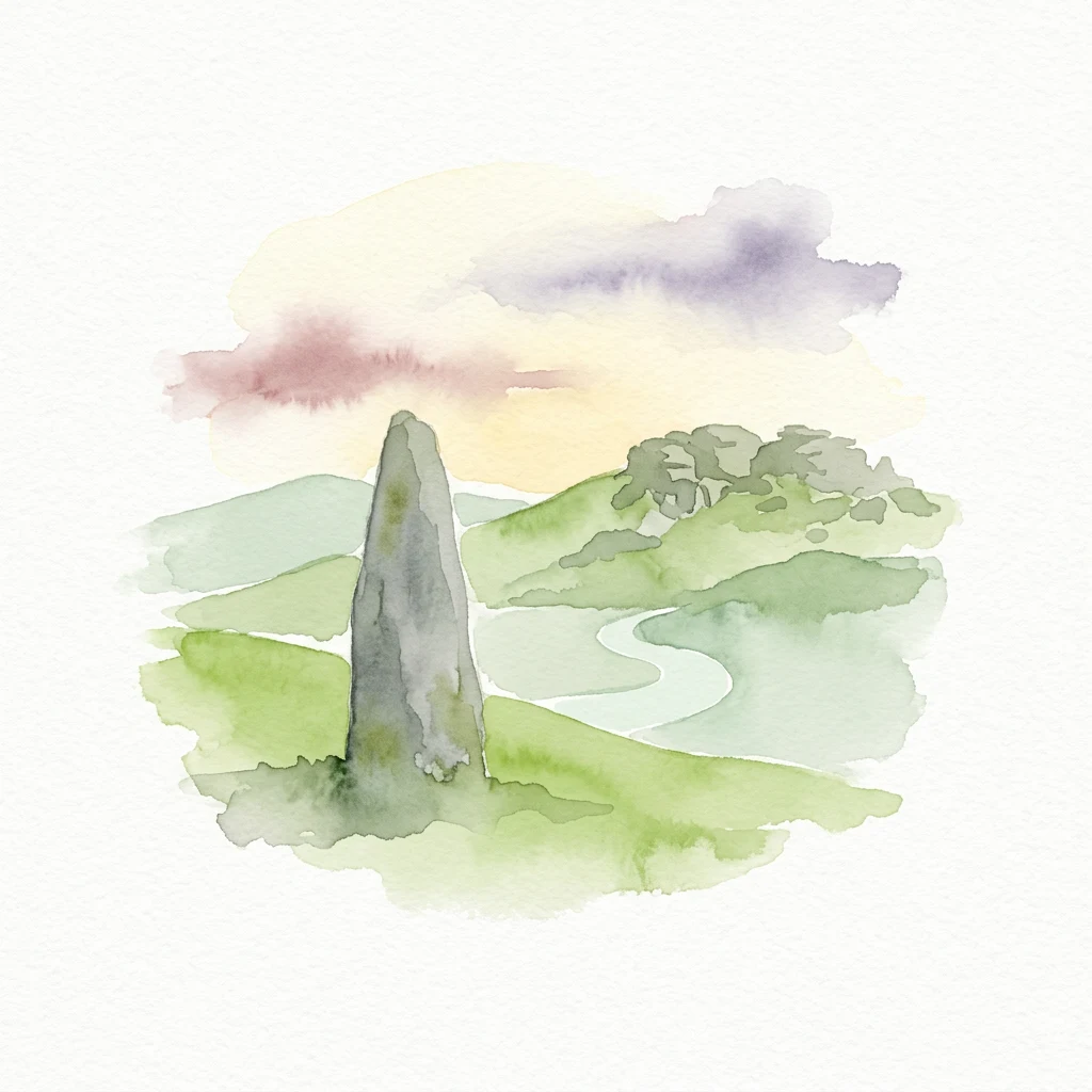
Watercolor illustration of a tall stone tor on a grassy hillside with a winding river, hills, and soft clouds in the sky
National parkDevonMountain

Dartmoor

Mapped protected area with significant Bronze Age remains.

Dartmoor National Park represents a distinctive granite upland in Devon, England, characterized by its dramatic tors and expansive moorland. This protected landscape is globally significant for its dense concentration of prehistoric archaeological sites, including stone circles, standing stones, and ancient settlements. Exploring Dartmoor offers a unique insight into Britain's regional geography, mapped terrain, and enduring connection to ancient human history.

954 km²1951TemperateModerate access
Watercolor painting of tall green trees and a gentle pastel sky with distant hills
National park

Belavezhskaya Pushcha National Park

Explore mapped protected areas and regional geography.

Belavezhskaya Pushcha National Park stands as a testament to Europe's ancient woodland heritage, a protected landscape of immense ecological value. This primeval forest, a sanctuary for the European bison, offers a unique glimpse into an ecosystem preserved for millennia. The park's mapped boundaries and geographic context provide essential detail for understanding its role as a critical natural monument and a cornerstone of regional protected areas.

1,500.69 km²1932TemperateModerate access
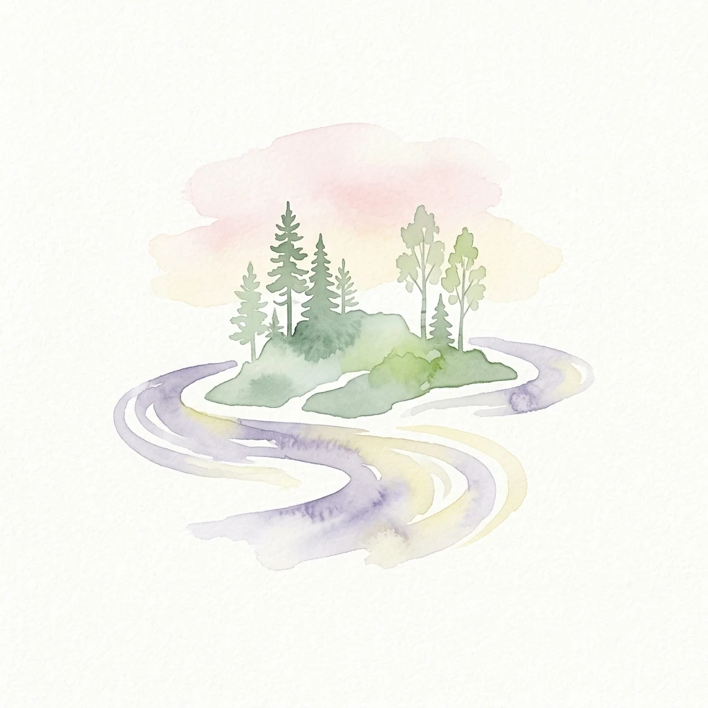
Watercolor illustration of a winding river flowing past a small island with coniferous and deciduous trees under a soft pink and yellow sky.
National parkLapland

Oulanka National Park

Explore mapped boundaries and regional terrain.

Discover Oulanka National Park as a distinct protected landscape entity within the extensive northern region of Lapland, Finland. This page provides structured geographic information, focusing on the park's mapped area, its regional setting, and its identity as a national park. MoriAtlas facilitates an atlas-driven understanding of Oulanka National Park's place in Finland's protected lands and its inherent natural terrain.

270 km²1956BorealModerate access
Watercolor painting showing mountains, lake, and trees with soft green, blue, and pink colors
National parkMountain

Killarney National Park

Explore mapped boundaries and regional atlas context.

Killarney National Park is a significant protected area in Ireland, recognized as a national park for its unique natural attributes. MoriAtlas provides detailed mapping and geographic data to explore this protected landscape. Users can engage with the park's specific terrain, understand its mapped perimeters, and gain insights into its regional geographic significance, enhancing their overall atlas exploration experience.

102.89 km²1932TemperateModerate access
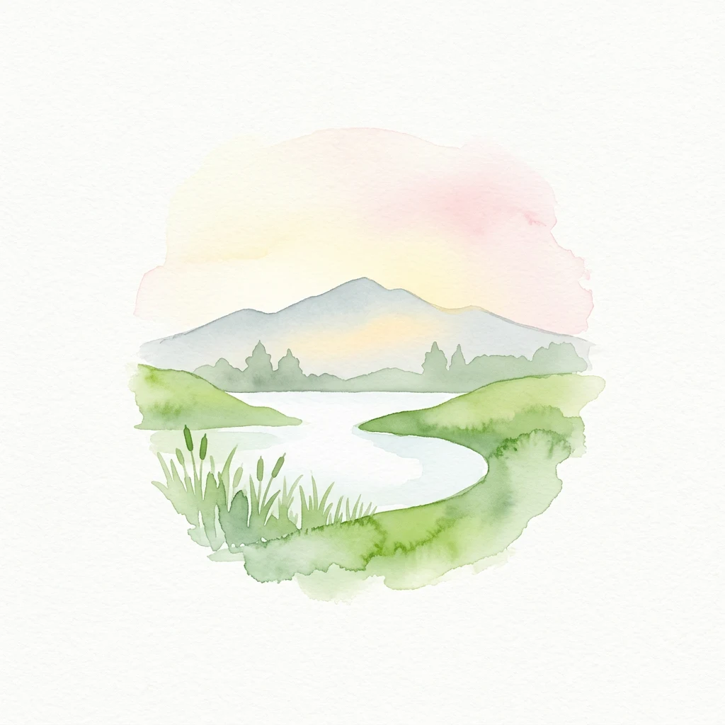
Watercolor illustration of a winding lake surrounded by green hills and distant mountains under a pastel sky
National parkEnglandMarine

New Forest National Park

Mapped heathland, ancient woodlands, and pastoral traditions.

Explore New Forest National Park, a nationally significant protected area in England renowned for its unique blend of ancient royal forest history, traditional pastoral practices, and biologically rich lowland habitats. This page provides an atlas-focused view of its mapped boundaries, distinctive terrain, and geographic context within England, highlighting its value as a living landscape shaped by centuries of common grazing rights and supporting rare wildlife.

566 km²2005TemperateEasy access
National parkNorthwest Territories

Wood Buffalo National Park

Explore Canada's Wood Buffalo National Park mapped boundaries.

Wood Buffalo National Park serves as a critical protected area, offering a detailed view of its mapped boundaries and regional geographic setting within Northwest Territories. As a national park, it represents a significant natural landscape to explore. This entry provides structured information ideal for understanding the park's specific location and its role in the broader atlas of protected lands.

44,741 km²1922BorealModerate access
National parkLampungMarine

Way Kambas National Park

Explore the geography and protected landscape of this Indonesian national park.

Way Kambas National Park in Lampung, Indonesia, is a significant protected area characterized by its extensive lowland rainforest and varied wetland habitats. The park's landscape features swamp forests, coastal fringes, and river systems, creating a unique ecological mosaic. It serves as a critical sanctuary for endangered species, offering a vital context for understanding Sumatra's remaining natural landscapes. Explore the mapped boundaries and geographic identity of this important conservation area.

1,300 km²1989TropicalModerate access
National parkMountain

Alpine National Park

Mapping significant alpine, subalpine, and mountain wilderness landscapes.

Alpine National Park represents Victoria's largest protected area, safeguarding critical alpine and subalpine environments across the Great Dividing Range. This national park encompasses vast mountainous terrain, including Victoria's highest peaks like Mount Bogong, and the expansive Bogong High Plains known for their unique grassland and woodland ecosystems. The park's protected landscape offers rich opportunities for geographic discovery and understanding its place within Australia's significant mountain wilderness regions.

6,474 km²1989AlpineModerate access
National parkMountain

Burren National Park

Explore its unique limestone pavement and geological formations.

Burren National Park offers a profound exploration of karst geology, featuring Ireland's most extensive and visually striking limestone pavement. The park's terrain displays a unique mosaic of exposed rock, swallow holes, and surprising pockets of vegetation, including rare Arctic-alpine and Mediterranean flora. As a protected national park, it preserves this scientifically significant landscape and offers a window into the dynamic interplay of geological forces and ecological adaptation within Western Ireland's regional geography.

15 km²1991TemperateAccess unknown
Watercolor painting showing pine trees, winding path, and mountains in background
National parkLower SaxonyMountain

Harz National Park

Explore geographic boundaries and regional terrain.

Harz National Park is a protected area defined by its unique mountain landscape and extensive forests in Lower Saxony, Germany. This MoriAtlas entry details its geographic scope, allowing for exploration of its mapped boundaries and its place within the regional geography. Understand the terrain, from its highest peaks to its alpine bogs, offering a structured view of this significant protected landscape for atlas-based discovery.

247 km²2006TemperateModerate access
Related environmental topics

How shared hydrological systems and geological formations shape neighboring wetland terrain.

Comparing Bogs in National Parks and Protected Landscapes with Adjacent Landforms

Comparing adjacent physical features helps define the exact boundaries of peat-forming systems within complex catchments where distinct landforms overlap. Individual profile comparisons preserve precise geological distinctions while clarifying how connected systems interact to shape regional protected landscapes.

Wetlands

Wetlands are a defining landscape feature in many protected areas. They shape scenery, ecological conditions, water movement, and the ways park environments change across space and season.

849 represented parks

Marshes

Marshes are a defining landscape feature in many protected areas. They shape scenery, ecological conditions, water movement, and the ways park environments change across space and season.

49 represented parks

Tundra

Tundra are a defining landscape feature in many protected areas. They shape scenery, ecological conditions, water movement, and the ways park environments change across space and season.

42 represented parks

MoriAtlas Explorer

Compare Global Landscape Features Across Protected National Park Environments

Continue into the MoriAtlas landscape taxonomy to analyze how physical terrain influences protected area character. Use these structured categories to find and compare parks by their geological composition, from mountain ranges to expansive wetland systems and coastal features.

Global natural geography