Mori Atlas logo
Nearby park discovery

Mapping regional park distribution and surrounding conservation landscapes

Protected Areas and Natural Landscapes Surrounding Ballynahone Bog in Northern Ireland

Discover the network of protected areas and natural sites located in the vicinity of Ballynahone Bog. This geographic overview highlights nearby wetlands, raised bogs, and conservation zones, providing a clear perspective on the regional distribution of protected lands across County Londonderry and beyond.

Related tags

raised bogpeatlandwetlandlowland bogRamsar site

One of the largest lowland raised bogs in Northern Ireland and a Ramsar-designated wetland of international importance.

Ballynahone Bog

Ballynahone Bog is a raised bog in County Londonderry, Northern Ireland, located on low-lying ground just north of the Moyola River and roughly 14 kilometres from Lough Neagh. It is one of the largest lowland raised bogs in Northern Ireland, recognised internationally for its intact dome of peat-forming vegetation, hummock and pool complexes, and surrounding birch woodland and fen. The site is characteristically Northern Irish in landscape, sitting in a region where blanket bogs and raised bog remnants have been heavily affected by drainage and peat extraction. Ballynahone stands out because a substantial portion of its raised dome remains active and unmodified, supporting sphagnum-dominated vegetation and the full ecological structure typical of healthy raised bog habitat. Its significance is reinforced by formal designations, including Ramsar status for wetlands of international importance, granted on 31 December 1998. The bog also became an Area of Special Scientific Interest in 1995 following a sustained local campaign against peat extraction, marking an important moment in Northern Ireland's conservation history.

Location
United Kingdom
Park type
Nature reserve
Established
1995
Area
2.4 km²
Ballynahone Bog Nature Reserve
Regional park map

See the ranked park cluster in its geographic setting

Nearby parks around Ballynahone Bog

This regional map shows the same 20 nearby parks ranked below around Ballynahone Bog. Select a ranked marker to highlight that park’s boundary where boundary data is available.
Reference park: Ballynahone BogRanked nearby parkSelected boundary: Ballynahone Bog20 nearby parks shown
20 nearby parks

Geographic separation, regional terrain comparison, and proximity metrics for Northern Ireland conservation lands

Ranked Protected Areas and Surrounding Parks Near Ballynahone Bog

Geographic proximity metrics establish a distance-ranked collection of protected areas surrounding Ballynahone Bog based on direct boundary measurements. Evaluating regional park geography and recorded environmental traits provides structured comparison signals for adjacent lowland wetlands and protected landscapes.
Nature reserveNorthern Ireland
About 11 km away#1 closest

East

Lough Beg Nature Reserve: Mapping the Wetlands and Floodplains of Northern Ireland

An essential protected landscape within the Lough Neagh basin.

Lough Beg provides a distinct geographic study of freshwater ecosystems and alluvial landscapes. As a designated nature reserve, it forms a crucial link in the Lower Bann catchment, characterized by its shallow waters and seasonal pasture flooding. The area serves as a primary hub for migratory bird species, while the historic Church Island offers a unique convergence of early Christian heritage and natural wetland terrain.

Relief
Lowland
Climate
Temperate
Access
Easy access
Scope
Terrestrial
Nature reserveCounty Londonderry
About 36 km away#2 closest

Northwest

Roe Estuary Nature Reserve: Coastal Geography and Protected Estuarine Landscapes

Lough Foyle coastal terrain in County Londonderry

Explore the structured geography of Roe Estuary Nature Reserve, a primary coastal protected area in County Londonderry. This atlas entry details the reserve's intertidal mudflats, salt marshes, and riverine channels. Understand its unique position between the Binevenagh escarpment and the waters of Lough Foyle, highlighting its role as a vital corridor for migratory species and aquatic life within the Northern Ireland coastal landscape.

Relief
Lowland
Climate
Temperate
Access
Access unknown
Scope
Mixed
Protected areaCounty Antrim
About 37 km away#3 closest

Northeast

Slieveanorra Forest Protected Area: Geography, Maps, and Upland Landscape Context

A comprehensive look at the Antrim forest and glacial landscape.

Slieveanorra Forest serves as a prominent protected area within the County Antrim uplands. Featuring expansive conifer woodlands, the site includes rugged terrain, reservoir edges, and scenic summit views. Understand the geological and environmental composition of this working forest landscape through its mapped boundaries and regional context.

Relief
Upland
Water
Minor water
Nature reserveNorthern Ireland
About 40 km away#4 closest

Southeast

Oxford Island National Nature Reserve: Protected Wetland Landscapes of Northern Ireland

Lakeshore habitats and woodland geography at Lough Neagh

Oxford Island is a prominent nature reserve where terrestrial woodland meets the expansive waters of Lough Neagh. The site showcases a transition of reed beds and meadows that serve as vital ecological assets within the regional geography of Northern Ireland, offering a dense, accessible look at lowland wetland environments.

Area
1.14 km²
Relief
Lowland
Climate
Temperate
Access
Easy access
Protected areaCounty Antrim
About 48 km away#5 closest

North

Benbane Head Protected Area: Geographic Profile and Regional Landscape Mapping

Coastal terrain and protected boundaries in County Antrim

Examine the geographic characteristics of Benbane Head, a significant protected area located in County Antrim. This profile highlights the site's physical boundaries and its place within the regional landscape, providing essential mapping context for understanding Northern Ireland's diverse natural terrain and conservation geography.

Area
0.052 km²
Established
1953
Relief
Lowland
Climate
Temperate
Protected landscapeCounty Fermanagh
About 78 km away#6 closest

Southwest

Castle Archdale Protected Landscape in County Fermanagh: Geography and Map Overview

Lakeside woodland and historic terrain on Lower Lough Erne

Located on the shores of Lower Lough Erne, Castle Archdale represents a unique protected landscape in County Fermanagh. The area features a complex mosaic of sheltered inlets, mature woodland, and open parkland that characterises the Fermanagh lakelands. Beyond its physical terrain, the site is defined by its historical significance, from seventeenth century estate remnants to its role as a pivotal wartime flying boat base, providing a rich context for geographic and environmental exploration.

Relief
Lowland
Climate
Temperate
Access
Easy access
Scope
Terrestrial
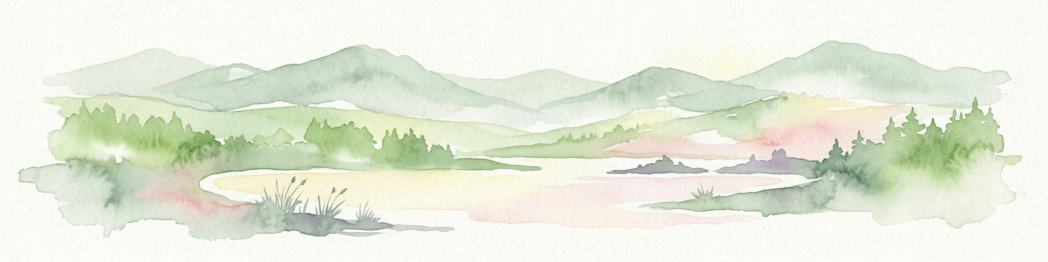
Watercolor illustration of a mountainous landscape with a lake and forests
National parkCounty Donegal
79 km away#7 closest

West

Glenveagh National Park: A Protected Landscape in the Heart of County Donegal

Mapped geography and natural terrain for Ireland's national park.

Delve into the geographic specifics of Glenveagh National Park, a protected area situated in County Donegal. This section provides detailed information on its mapped boundaries and regional landscape context. Understand how this national park fits within the natural geography of Ulster, offering a structured atlas view for detailed exploration of its unique terrain and protected status.

Area
169.58 km²
Established
1986
IUCN
II
Relief
Mixed relief
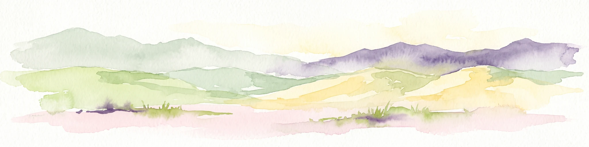
Watercolor painting of soft, rolling green hills and dunes with purple mountain peaks in the distance against a white background.
Nature reserveCounty Down
About 83 km away#8 closest

Southeast

Murlough Nature Reserve: Coastal Dune and Heathland Atlas of County Down

A historic protected peninsula along the shores of Dundrum Bay.

Located in County Down, Murlough Nature Reserve stands as the largest dune heathland in Ireland. This protected landscape encompasses a complex system of sand dunes and open heath, set against the backdrop of the Mourne Mountains. The reserve provides a unique vantage point for understanding coastal geomorphology, invertebrate-rich habitats, and the long-term interaction between shoreline dunes and upland mountainous geography.

Area
2.82 km²
Established
1967
Relief
Lowland
Climate
Temperate
Nature reserveCounty Fermanagh
About 88 km away#9 closest

Southwest

Crom Estate Nature Reserve and Upper Lough Erne Geographic Landscape Overview

Riparian forest and island geography in County Fermanagh

Deeply connected to the shores of Upper Lough Erne, Crom Estate is a sprawling nature reserve defined by its ancient riparian woodlands and intricate maze of bays and islands. The terrain preserves a distinct mix of old-growth forest, open grassland, and historic castle ruins, providing a valuable case study in the regional geography of County Fermanagh and the conservation of water-influenced ecosystems.

Area
5.5 km²
Established
1987
Relief
Lowland
Climate
Temperate
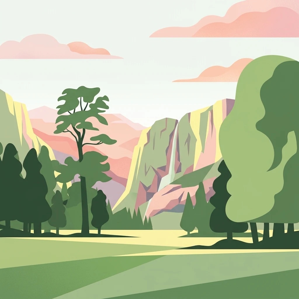
An illustration of a green meadow in the foreground with forest, steep cliffs, and a narrow waterfall in the background under a pale sky with soft pink clouds.
National parkCounty Meath
About 124 km away#10 closest

South

Boyne Valley National Park: Protected River Floodplains and Neolithic Landscapes

Geographic atlas overview for County Meath, Ireland

Boyne Valley National Park encompasses a significant riparian corridor along the River Boyne, serving as a sanctuary for diverse freshwater species and a guardian of major megalithic monuments. This protected area offers insight into the confluence of Irish ecological preservation and prehistoric archaeological heritage within a managed, low-lying floodplain setting.

Area
2.23 km²
Established
2023
IUCN
II
Relief
Lowland
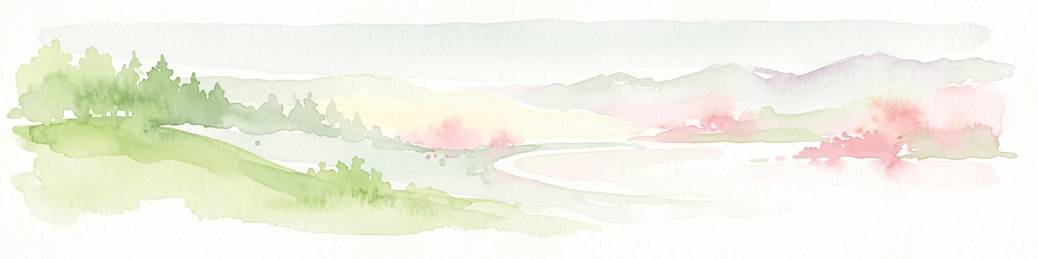
A soft watercolor illustration featuring green rolling hills; pink foliage; and a calm bay under a pale sky.
Marine protected areaScotland
About 125 km away#11 closest

Northeast

Lamlash Marine Protected Area: Coastal Geography and Protected Waters in Scotland

Maritime terrain and conservation landscapes of the Firth of Clyde

Located along the eastern coast of the Isle of Arran, the Lamlash Marine Protected Area serves as a landmark for community-led conservation in Scotland. The site protects a vital marine ecosystem including maerl beds within a sheltered natural harbour, providing a distinct study of coastal boundaries and marine terrain facing Holy Isle across the Firth of Clyde.

Established
2008
Visitors
1.1K annual
Relief
Lowland
Climate
Temperate
Marine protected areaArgyll and Bute
About 142 km away#12 closest

Northeast

Loch Sween Marine Protected Area: Coastal Geography and Regional Atlas Map

A distinctive sea loch ecosystem in Argyll and Bute.

Investigate the coastal topography and protected marine boundaries of Loch Sween. This sea loch is defined by its irregular branching inlets and islands, creating a unique habitat mosaic of maerl beds and burrowed mud within the broader context of the western Scottish coastline.

Area
41 km²
Established
2014
IUCN
IV
Access
Access unknown
A soft watercolor illustration depicting green rolling hills and a body of water in a minimalist style.
Marine protected areaArgyll and Bute
About 160 km away#13 closest

Northeast

Loch Fyne Marine Protected Area and Highland Coastal Geography

Mapped sea loch landscapes in Argyll and Bute

Loch Fyne represents a unique intersection of maritime tradition and protected natural terrain. This entry maps the loch as it winds through the Cowal Peninsula, highlighting the contrast between northern mountain hinterlands and southern coastal inlets. Users can examine the extent of its protected waters, the surrounding topography, and its historical significance within the geography of western Scotland.

Established
2014
Relief
Mixed relief
Climate
Temperate
Access
Easy access
Watercolor illustration showing mountains, green forests, a loch, and a river in a landscape
National parkScotland
165 km away#14 closest

Northeast

Loch Lomond and The Trossachs National Park: Mapped Landscapes and Terrain

Regional geography and protected Highland boundaries in Scotland

Loch Lomond and The Trossachs National Park covers a vast array of protected habitats, from coastal sea lochs to high-altitude Munros. This geographic profile outlines the park's position across the Highland Boundary Fault, highlighting its role as a core protected area for Caledonian forests and freshwater lake ecosystems within Scotland.

Area
1,865 km²
Established
2002
IUCN
V
Visitors
2.9M annual
Protected landscapeArgyll and Bute
About 166 km away#15 closest

North

Scarba, Lunga and the Garvellachs National Scenic Area: Protected Island Geography

Coastal landscapes and tidal seascapes of Argyll and Bute

Gain insight into the distinct protected landscape of the Scarba, Lunga and the Garvellachs National Scenic Area. This area balances mountainous moorland with green meadows, while its submerged marine reefs and fierce tidal waters contribute to a complex ecological and geographic identity within the Firth of Lorn.

Area
65 km²
Established
1981
Relief
Upland
Climate
Temperate
Watercolor illustration of a landscape with mountains, a lake, and trees
National parkCounty Wicklow
176 km away#16 closest

South

Wicklow Mountains National Park: Protected Landscape and Geographic Atlas Mapping

Explore County Wicklow's mapped natural terrain and park boundaries.

Understand the geographic scope and protected landscape identity of Wicklow Mountains National Park. This page offers detailed information on its mapped boundaries and its context within County Wicklow, providing a foundation for atlas-based discovery of Ireland's natural areas. Explore how this national park contributes to the region's mapped geography and conservation landscapes.

Area
205 km²
Established
1991
IUCN
II
Relief
Mountain
A soft, artistic watercolor painting of a Scottish sea loch surrounded by gentle, green hills against a faint mountainous background.
Marine protected areaArgyll and Bute
About 183 km away#17 closest

Northeast

Loch Goil Marine Protected Area: Geography and Landscape Overview

Protected marine habitats in the Argyll and Bute region

Loch Goil offers a distinct look at an enclosed, sea loch landscape in western Scotland. Surrounded by the Arrochar Alps and steep conifer slopes, this marine protected area demonstrates the intersection of Highland wilderness and formal conservation zones. Use this atlas resource to understand its topographical form and regional context.

Established
2014
Relief
Mountain
Climate
Temperate
Access
Moderate access
A soft watercolor painting of a landscape featuring green rolling hills, a suggestion of a reflective body of water, and layers of purple distant mountains against a light sky.
National parkScotland
About 190 km away#18 closest

Northeast

Loch Lomond and The Trossachs National Park: Geographic and Protected Area Overview

Tracing Highland and Lowland transition zones in Scotland

This protected area captures the contrast between the rugged mountainous terrain of the northern Trossachs and the gentler southern loch basins. By examining the Highland Boundary Fault, users can analyze how glaciers carved the landscape, creating the deep fjord-like trenches and islands that define the region's unique natural geography.

Area
71 km²
Established
2002
Relief
Mountain
Climate
Temperate
Marine protected areaScotland
About 191 km away#19 closest

North

Loch Sunart to the Sound of Jura Marine Protected Area: A Scottish Marine Geography Guide

Charting habitat management and Quaternary seabed geology in the western Highlands.

This protected area reaches across the waters of Loch Sunart, the Sound of Mull, the Firth of Lorne, and the Sound of Jura. By mapping this diverse bathymetry, the area safeguards essential marine habitats and the rare common skate population within a complex network of Highland sounds and coastal basins.

Area
741 km²
Established
2014
IUCN
IV
Climate
Temperate
Watercolor illustration of a mountainous landscape with green fields in the foreground and distant mountains under a pale sky
National parkCounty Mayo
192 km away#20 closest

Southwest

Wild Nephin National Park: Ireland's Protected Landscape in County Mayo

National Park with regional geographic context.

Explore Wild Nephin National Park, a significant protected area situated in County Mayo, Ireland. This entry focuses on the park's mapped boundaries and its unique natural terrain, offering a clear geographic perspective. Understand how this national park contributes to the diverse landscapes of western Ireland and serves as a key point for atlas-based discovery of protected lands.

Area
150 km²
Established
1998
IUCN
II
Climate
Temperate
Distance methodology

Geographic measurements, not driving distances

How nearby park distances are calculated

Distances use park boundaries whenever the available geometry allows it. When one or both boundaries are missing, the mapped park locations provide a clearly labelled estimate. Every value represents straight-line geographic separation and does not use roads or routing.

Boundary distance

Calculated between the nearest points of both park boundaries.

Location-to-boundary estimate

Estimated from one mapped park location to the nearest boundary of the other park.

Mapped-location estimate

Estimated between the mapped locations of both parks.

MoriAtlas Explorer

Explore the Protected Landscape Geography of Ballynahone Bog

Dive into the map and terrain data for Ballynahone Bog to understand its role as a premier raised peatland in Northern Ireland. MoriAtlas provides a clear view of the bog dome, surrounding fen, and the conservation context of this significant wetland site.

Global natural geography