Mori Atlas logo
Protected landscapeCefa Natural Park

Discover the wetland habitats, bird migration routes, and protected geography of Cefa Natural Park.

Cefa Natural Park: A Mapped Protected Landscape of European Significance

Cefa Natural Park represents a critical protected landscape situated in Bihor County, western Romania. This area, encompassing over 5,000 hectares, is a vital European wetland and a key stop on the Pannonian–Bulgarian bird migration corridor. Its landscape features a rich mosaic of marshes, canals, floodplains, and the notable Rădvani Forest, supporting diverse waterfowl and terrestrial species. MoriAtlas provides detailed map context and structured geographic information to understand the protected boundaries and ecological importance of Cefa Natural Park.

wetlandbird migrationNatura 2000lowland protected areaPannonian regionwaterfowl habitat

Cefa Natural Park

Protected landscape

Park overview

Structured park overview, official facts, and landscape profile for Cefa Natural Park

Cefa Natural Park park facts, protected area profile, and essential visitor context
Review the core facts for Cefa Natural Park, including designation, size, terrain, visitor scale, habitats, and operating context in one park-focused overview.

About Cefa Natural Park

Cefa Natural Park represents one of Romania's significant lowland wetland complexes, situated in the western part of the country within Bihor County. The park's creation in 2010 marked an important step in Romania's conservation network, providing formal protection to a landscape that had long served as a vital ecological corridor. The protected area encompasses the administrative territories of Cefa and Sânnicolau Român communes, lying immediately adjacent to the Hungarian border in the southwestern reaches of Bihor County. The park lies along national road DN79, accessible via county road DJ797 from the village of Cefa. The region's geographical position within the Pannonian Plain gives the park its distinctive flat terrain, with elevation rarely varying beyond a few meters across the entire protected area. The extensive wetland system, fed by seasonal flooding and groundwater seepage, creates a dynamic environment that shifts between open water and saturated grasslands throughout the year. This hydrological regime supports remarkable biodiversity and has historically sustained local communities through fishing, livestock grazing, and forest management. The park's integration into the Natura 2000 network ensures ongoing conservation coordination at the European level, with specific management prescriptions for both habitat preservation and species protection.

Quick facts and research context for Cefa Natural Park

Cefa Natural Park covers 5,002 hectares in southwestern Bihor County, Romania, at the western border with Hungary. The park was established in 2010 and forms part of the European Natura 2000 network as both a Special Area of Conservation and a Special Avifaunistic Protection Area. The landscape consists of floodplain wetlands, marshes covering approximately 700 hectares, and mixed riparian forests. The Pannonian biogeographic region characterizes this lowland area in the western Romanian plain.

Park context

Deeper park guide and search-rich context for Cefa Natural Park

Cefa Natural Park history, landscape, wildlife, and travel context
Explore Cefa Natural Park through its history, landscape character, ecosystems, wildlife, conservation priorities, cultural context, and seasonal travel timing in a structured park guide built for atlas discovery and search intent.

Why Cefa Natural Park stands out

Cefa Natural Park is best known as a major European wetland and bird migration hub. The park sits along the Pannonian, Bulgarian migration corridor, supporting exceptional concentrations of waterfowl and wading birds during seasonal migrations. The Rădvani Forest colony hosts significant breeding populations of grey heron and white egret. The area's mosaic of swamps, canals, floodplains, and pastures creates ideal conditions for diverse birdlife, including protected species such as the eastern imperial eagle, white stork, black stork, and numerous duck species. The park also features salt-affected soils with distinctive halophytic vegetation, a rare habitat type in Romania.

Overview image of Cefa Natural Park showing what the park is best known for
Visual overview of what makes Cefa Natural Park a notable national park destination.

Cefa Natural Park history and protected-area timeline

Cefa Natural Park was established through Government Decision Number 1217 on December 2, 2010, published in the Romanian Official Journal Number 840 on December 15, 2010. The designation represented the culmination of efforts to protect the wetland complex that had long been recognized for its ecological significance. Prior to formal protection, the area faced increasing pressures from agricultural intensification and drainage projects that threatened to alter the hydrological balance of the floodplain. The establishment of the park coincided with Romania's broader expansion of its protected areas network following European Union accession, aligning national conservation policy with EU environmental standards. The park encompasses the earlier-designated Rădvani Forest bird colony reserve, which had provided foundational protection for breeding waterfowl populations. Local advocacy, particularly from regional representatives, played a role in advancing the park's designation, with efforts spanning several years before formal approval. The protected area also overlaps with the Cefa Natura 2000 site and the Pescăria Cefa - Pădurea Rădvani Special Avifaunistic Protection Area, creating layered conservation status that addresses both habitat and species directives.

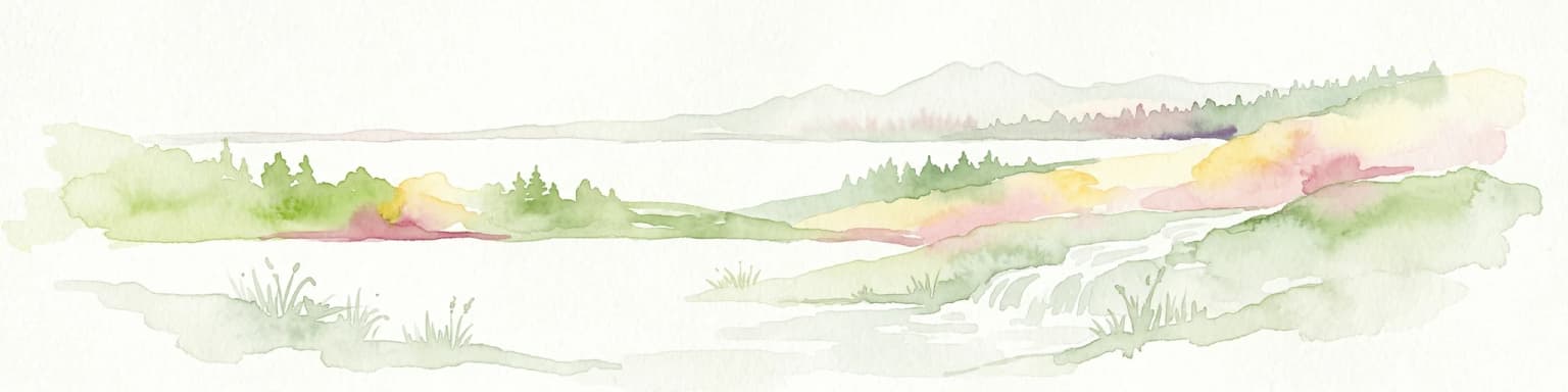
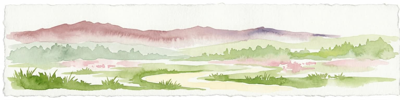
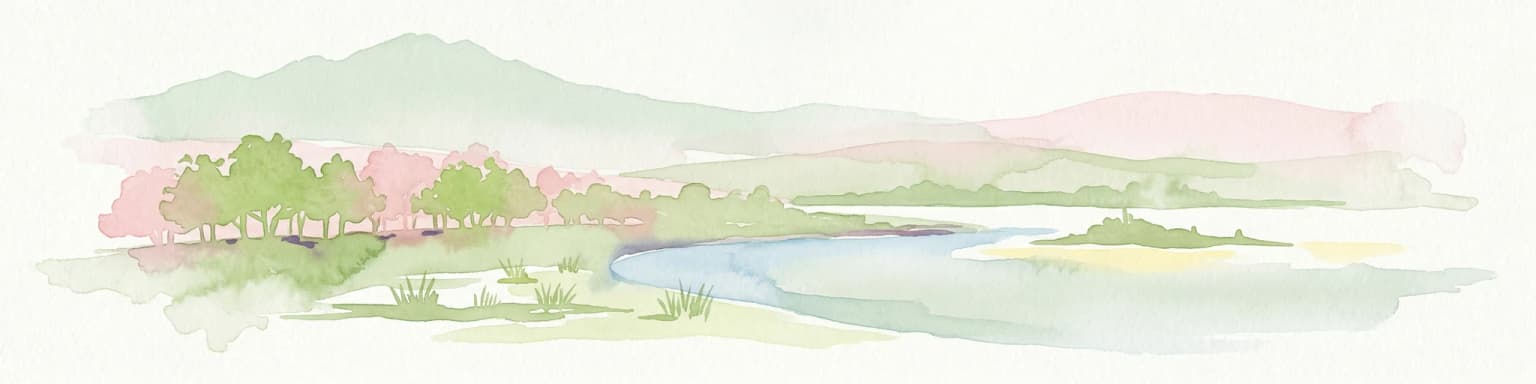
Cefa Natural Park landscape and geographic character

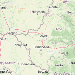
The landscape of Cefa Natural Park is characterized by its low-lying position within the Crișurilor Plain, part of the broader Pannonian Basin that extends across much of western Romania and eastern Hungary. The terrain is predominantly flat, with subtle variations in elevation defining the transition between wetland basins and slightly elevated levees along former river channels. The park contains approximately 700 hectares of permanent water bodies, including natural lakes, oxbow ponds, and man-made canals that drain the surrounding agricultural land. These water bodies support extensive emergent vegetation and open water areas that remain unfrozen throughout mild winters. The Rădvani Forest occupies a significant portion of the protected area, consisting of mixed deciduous woodland dominated by oak, ash, and elm along the historic river courses. The forest provides critical nesting habitat for colonial waterbirds and serves as a forested anchor within the predominantly open agricultural landscape. Surrounding the wetlands and forest are areas of managed pasture and grassland that reflect the region's pastoral traditions. The presence of salt-affected soils in certain sections creates distinctive halophytic plant communities, adding botanical diversity to the wetland mosaic.

Reflective lake surface, grassy shoreline, wooden shelter, overcast sky with dark clouds
Calm lake with grassy shore and wooden shelter under overcast sky in Cefa Natural Park

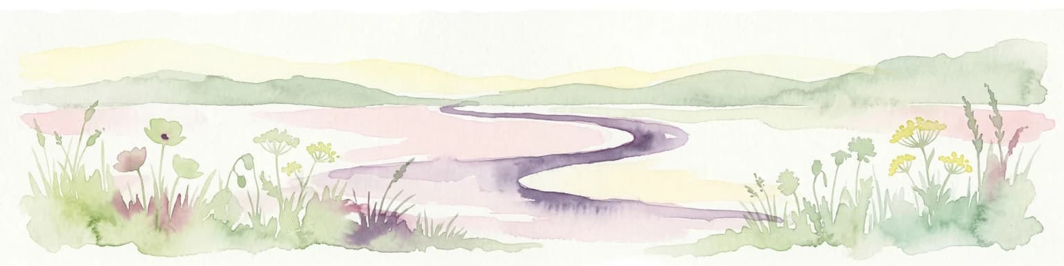
Cefa Natural Park ecosystems, habitats, and plant life

Cefa Natural Park supports five primary habitat types recognized under European conservation frameworks. Wet meadow communities dominated by tall grasses occupy the transition zones between permanently flooded areas and drier grasslands. Dystrophic lakes and ponds contain characteristic vegetation adapted to nutrient-poor conditions. Lowland grasslands of the Alopecurus pratensis-Sanguisorba officinalis type occur on deeper soils away from the water table. Saline meadows and marshes of the Pannonian-Sarmatic region represent a particularly rare habitat in Romania, characterized by salt-tolerant plant species. Mixed riparian forests with oak, smooth-leaved elm, and ash along the major watercourses complete the habitat spectrum. The park's position on the Pannonian–Bulgarian migration corridor gives it exceptional importance for migratory birds, with seasonal concentrations reaching thousands of individuals during spring and autumn passages. The wetland complex provides critical staging and foraging grounds for species traveling between northern breeding areas and Mediterranean wintering grounds.

A river flowing through lush green vegetation with wildflowers in the foreground
River flowing through dense vegetation in Cefa Natural Park

Cefa Natural Park wildlife and species highlights

The avifauna of Cefa Natural Park is exceptionally diverse, with the protected area supporting both breeding populations and migratory assemblages of European significance. Breeding colonial waterbirds in the Rădvani Forest include grey heron and both little and great white egret, whose nests are clearly visible in the canopy during summer months. The park provides hunting grounds for the eastern imperial eagle, one of Europe's rarest raptors, which nests in the broader region and forages over the open wetlands. White stork and black stork nest in the area, with the latter species particularly associated with the more secluded forest watercourses. The wetland margins support populations of squacco heron, night heron, and bittern, all species requiring extensive reedbeds and marsh vegetation. Waterfowl diversity includes pochard, tufted duck, red-crested pochard, and various dabbling duck species that winter on the open water bodies. The mammalian fauna includes the European otter, a species closely tied to clean water bodies and riparian vegetation, and the pond bat, one of Europe's larger bat species that roosts in trees and forages over water. The European pond turtle occupies the slower sections of canals and oxbow lakes. Amphibian diversity includes the red-bellied toad, crested newt, and Danube crested newt, all protected under EU directives. Fish communities include spined loach, weatherfish, and bitterling, species characteristic of lowland river systems.

Close-up of a yellow water lily flower on a lily pad surrounded by tall grasses and water
Yellow water lily (Nuphar lutea) among lily pads in the wetlands of Cefa Natural Park

Cefa Natural Park conservation status and protection priorities

Cefa Natural Park holds dual protection status within the European Natura 2000 network, designated as both a Special Area of Conservation under the Habitats Directive and a Special Avifaunistic Protection Area under the Birds Directive. This layered designation recognizes the park's exceptional value for both habitat types and bird species of European conservation concern. The park is recognized as a wetland of international importance, particularly for waterfowl conservation, with its position on the Pannonian–Bulgarian migration corridor making it essential for maintaining migratory bird populations across the continent. The presence of multiple EU-protected species, including the European otter, pond bat, European pond turtle, and numerous bird species, creates ongoing conservation obligations for the Romanian state. The park's management seeks to balance conservation with the continued traditional uses that have shaped the landscape, including pastoral activities and fishing. The halophytic meadows and saline habitats represent particularly rare ecosystem types that receive priority attention in management planning.

Cefa Natural Park cultural meaning and human context

The landscape surrounding Cefa Natural Park bears evidence of long-term human settlement and land use that has shaped the contemporary character of the area. The nearby village of Cefa provides access to the park and represents the administrative center for the surrounding agricultural commune. Archaeological sites in the vicinity contain evidence of continuous human occupation from the Neolithic period through the Bronze Age, La Tène, and into the medieval period, indicating the long-standing suitability of this wetland margin for human settlement. The traditional pastoral economy, reflected in the park's pastures and meadows, represents centuries of adaptation to the seasonal flooding regime that characterizes the Crișurilor Plain. The proximity to Hungary has created cross-border ecological connections, with the park serving as a buffer zone against the neighboring Koros-Maros National Park in Hungary, supporting the development of transboundary conservation approaches. The Orthodox church in Inand, dating to 1826, represents the region's religious heritage and provides a cultural landmark adjacent to the park.

Top sights and standout views in Cefa Natural Park

The Pannonian–Bulgarian migration corridor position makes Cefa one of Romania's most important birdwatching locations, with seasonal passage of thousands of waterfowl and wading birds. The Rădvani Forest breeding colony represents a spectacular concentration of grey heron and white egret visible from viewing points along the park's boundaries. The wetland complex includes approximately 700 hectares of open water supporting diverse aquatic communities and providing wintering habitat for migratory ducks. The park's overlap with Natura 2000 designations ensures European-level conservation protection and ongoing monitoring of key species and habitats. The presence of halophytic meadows with salt-tolerant vegetation represents a rare habitat type in the Romanian lowlands, supporting specialized plant species.

Best time to visit Cefa Natural Park

Spring and autumn offer the most rewarding visits to Cefa Natural Park, coinciding with the peak periods of bird migration along the Pannonian–Bulgarian corridor. During March through May, migratory waterfowl concentrate in the wetlands in large numbers before continuing northward to breeding grounds, while breeding colonies become active in the Rădvani Forest. Autumn migration from August through October brings another wave of bird activity as species move southward, with particularly notable concentrations of storks, cranes, and various duck species. Summer months support breeding activities and offer the opportunity to observe the full array of nesting birds, though water levels may be lower and some areas can become quite warm. Winter, while quieter in terms of species diversity, can still offer opportunities to observe wintering waterfowl and the stark beauty of the frozen wetland landscape. The park is accessible year-round via the local road network, though conditions may vary with seasonal weather.

Park location guide

Geography guide, regional context, and park location map for Cefa Natural Park

Cefa Natural Park park geography, regions, and map view in Romania
Understand where Cefa Natural Park sits in Romania through a broader geographic reading of the surrounding landscape, nearby location context, and its mapped position within the national park landscape.

How Cefa Natural Park fits into Romania

Romania is a unitary semi-presidential republic located in Southeast and Central Europe. It borders Ukraine, Hungary, Serbia, Bulgaria, Moldova, and the Black Sea. The country has a population of approximately 19 million and covers an area of 238,397 km². Bucharest is the capital and largest city. Romania joined the European Union in 2007.

Wider geography shaping Cefa Natural Park in Romania

Romania lies on the lower course of the Danube River, north of the Balkan Peninsula, and on the northwestern shore of the Black Sea. The terrain is varied, featuring the Carpathian Mountains in the center, the Transylvanian Plateau, the Moldavian Plateau, and plains along the Danube and in the south. The country has a diverse landscape that includes forests, meadows, and wetland areas.

Map view of Cefa Natural Park

Use this park location map to pinpoint Cefa Natural Park in Romania, understand its exact geographic position, and read its mapped placement within the surrounding landscape more clearly.

Pigeon | © OpenStreetMap contributors

Location context for Cefa Natural Park

Bihor County

Visualize the Rich Wetland Scenery, Diverse Habitats, and Migratory Bird Landscapes of this Protected Area

Discover Cefa Natural Park Through Landscape Photography: Romania's Vital Wetland Ecosystems
Browse comprehensive photography capturing the unique wetland landscapes, diverse habitats, and critical bird migration corridors within Cefa Natural Park. These visual insights reveal the park's distinctive terrain, from its extensive marshes and floodplains to the important Rădvani Forest, providing a deeper understanding of this Romanian protected area's ecological significance and scenic character.

Wooden entrance sign structure with "Parcul Natural Cefa" text, situated in a grassy field with open landscape in background

Reflective lake surface, grassy shoreline, wooden shelter, overcast sky with dark clouds

A river flowing through lush green vegetation with wildflowers in the foreground

Close-up of a yellow water lily flower on a lily pad surrounded by tall grasses and water

Park atlas

Compare surrounding protected landscapes, wetlands, and forests throughout Bihor County and western Romania.

Discover Other Protected Areas Near Cefa Natural Park and Bihor County
After exploring Cefa Natural Park, continue tracing the diverse protected areas and wetland complexes spread across Bihor County and the broader Crișurilor Plain. Comparing these regional park entities offers invaluable geographic context, revealing connected conservation landscapes and varied terrain in western Romania.
Watercolor illustration of a river flowing through a valley with mountains in the background
National parkBékés County

Körös-Maros National Park: National Park Identity and Békés County Landscape Context

Explore its mapped protected areas, wetlands, and steppe grasslands.

Körös-Maros National Park is a designated national park located in Békés County, Hungary, recognized for its expansive wetland ecosystems and steppe grassland habitats. This protected area plays a critical role in the geography of the Southern Great Plain, serving as a vital migration corridor for diverse bird populations. Users can explore the park's distinct landscape features, mapped protected boundaries, and its significance as a hub for avian conservation.

Area
501.34 km²
Established
1997
Relief
Lowland
Climate
Temperate
National park

Hortobágy National Park: A UNESCO Protected Steppe Landscape in Eastern Hungary

Explore the unique geography and mapped park boundaries of Hungary's first national park.

Hortobágy National Park is a monumental protected area in Eastern Hungary, recognized globally as the first national park established in the country and a UNESCO World Heritage site. This vast expanse of semi-natural grassland, known as the puszta, stretches across approximately 74,820 hectares, embodying over four millennia of pastoral traditions. The park's landscape is characterized by alkaline soils and sweeping horizons, offering a unique ecosystem with significant avian populations and preserved cultural landmarks. MoriAtlas provides structured geographic context and mapped details to understand this exceptional protected landscape.

Area
748.2 km²
Established
1973
Relief
Lowland
Climate
Temperate
Watercolor painting showing a landscape with rolling hills, forests, and mountains in soft pastel colors.
Protected landscape

Apuseni Natural Park: Protected Landscape Identity and Geographic Map Exploration

Romania's protected area mapped in its regional geography.

Apuseni Natural Park stands as a protected landscape offering significant value for geographic discovery. This entry provides a detailed look at its protected-area status and mapped landscape context within Romania. Users can explore its boundaries, understand its relation to surrounding terrain, and utilize this information for a structured atlas-based approach to natural landscape research.

Area
757.84 km²
Established
1990
IUCN
V
Relief
Mountain
Watercolor illustration of a winding river through grassy fields with wildflowers and distant hills
Protected landscape

Subotička Peščara Protected Landscape: A Mapped Inland Dune System in Serbia

Explore unique Pannonian Plain geography and rare habitats.

Subotička Peščara Protected Landscape offers a deep dive into an exceptional inland dune ecosystem, a key feature of Serbia's Pannonian Plain geography. This protected area's mapped terrain includes a mosaic of forest, steppe, and wetland habitats, supporting rare flora and fauna. Discover the unique contours of this aeolian landscape and its significance within the regional geographic context.

Area
53.7 km²
Established
2002
Relief
Lowland
Climate
Temperate
Protected areaSerbia

Lake Palić Protected Area: Serbia's Mapped Landscape and Regional Geography Exploration

Understand the protected landscape and park boundaries of Lake Palić.

Delve into the specifics of Lake Palić, a designated protected area in Serbia. This resource offers a deep dive into the park's mapped landscape, helping to illustrate its protected boundaries and geographic significance. Gain a clear understanding of its regional context and its contribution to the atlas of protected natural areas within Serbia.

Protected landscapeHunedoara County

Grădiștea Muncelului-Cioclovina Natural Park: Protected Landscape in Hunedoara County Atlas

Explore protected area geography and mapped boundaries.

Gain a structured understanding of Grădiștea Muncelului-Cioclovina Natural Park, a significant protected landscape located in Romania's Hunedoara County. This resource details its geographic position and mapped protected area extent, providing essential context for atlas exploration and regional landscape analysis. It serves as a focused entry point for understanding the park's unique geographic identity within its natural setting.

Area
381.84 km²
Established
2000
IUCN
V
Relief
Mountain
National parkZakarpattia Oblast

Zacharovanyi Krai National Nature Park: Protected Landscape Atlas Entry

National park within Zakarpattia Oblast, Ukraine

Navigate Zacharovanyi Krai National Nature Park, a designated national park offering vital insights into protected landscapes and regional geography. This entry provides core information about the park's protected area status and its geographic setting within Zakarpattia Oblast, essential for structured atlas discovery and understanding the mapped natural terrain of western Ukraine.

Area
61.01 km²
Established
2009
IUCN
II
Relief
Mountain
Watercolor illustration of a mountain range with forests, a lake, and distant hills under a light sky
National parkHunedoara County

Retezat National Park National Park: Protected Landscape and Regional Geography

Mapped boundaries and landscape context in Hunedoara County.

Retezat National Park is a key protected area featured within MoriAtlas, offering structured geographic data and map-based insights. This national park's protected landscape is situated in Hunedoara County, Romania, contributing significantly to the regional topography and natural context of the Southern Carpathians. Explore its mapped boundaries and understand its role as a distinct natural entity.

Area
380.47 km²
Established
1935
IUCN
II
Relief
Mountain

Common questions about visiting, size, designation, and location context for Cefa Natural Park

Cefa Natural Park FAQs for park facts, access, geography, and protected area context
Find quick answers about Cefa Natural Park, including protected-area facts, park geography, trail and visitor context, and how the park fits into its surrounding country and regional landscape.
MoriAtlas Explorer

Continue Your Protected Areas Search Across the Global Atlas

Deepen your exploration by continuing the structured search for national parks and protected areas worldwide. Utilize the comprehensive filtering capabilities to compare different conservation landscapes and refine your understanding of global park geography. Discover more about the distribution and characteristics of protected natural areas.

Global natural geography