Mori Atlas logo
Park earthquake history

Review recorded seismic events, magnitudes, and epicentre distances in the Daisetsuzan landscape.

Historical Earthquake Records and Seismic Activity Catalogue for Daisetsuzan National Park

This database provides a comprehensive historical record of earthquakes associated by proximity to the volcanic mountain groups and alpine terrain of Daisetsuzan National Park. The information enables exploration of regional seismic trends through data points such as event dates, depth, and epicentre distance relative to park boundaries. All records originate from standardized geological datasets, offering a clear perspective on the historical seismic context of this major Hokkaido protected area.

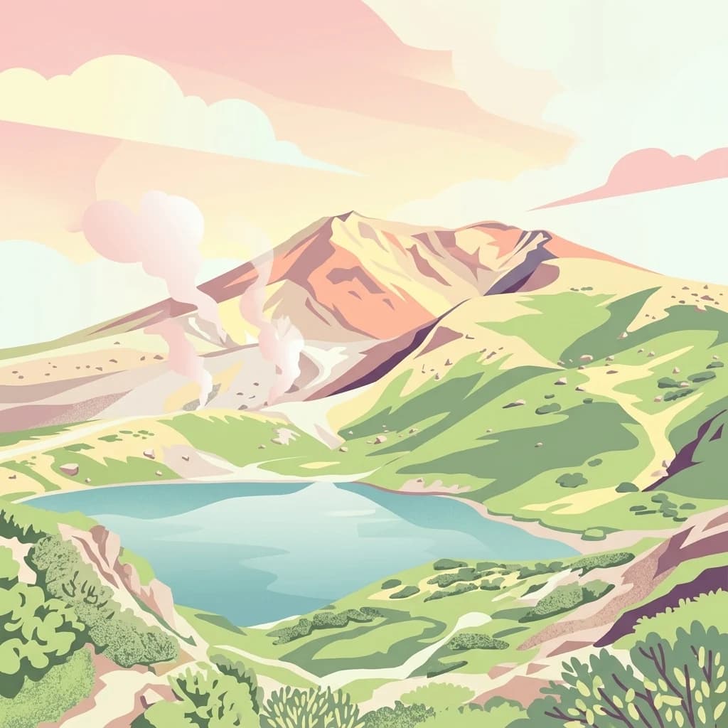
A stylized flat vector illustration of a volcanic mountain range in Daisetsuzan National Park featuring a central peak, steaming vents, a blue alpine lake in the foreground, and green hills under a soft pink and orange sky.

Japan's great snowy mountains, a volcanic alpine wilderness in the heart of Hokkaido

Daisetsuzan National Park

Daisetsuzan National Park is Japan's largest national park, covering 2,267 square kilometers of mountainous terrain in the central region of Hokkaido, the northernmost major island of Japan. Established in December 1934, the park derives its name from the Japanese phrase meaning 'great snowy mountains,' a fitting descriptor for a landscape dominated by sixteen peaks exceeding 2,000 meters in elevation. The park encompasses three distinct volcanic mountain groups, including the Daisetsuzan Volcanic Group in the north, which contains Mount Asahi at 2,290 meters the tallest peak in all of Hokkaido. The volcanic landscape features stratovolcanoes stacked upon one another, creating a rugged backcountry environment that offers some of Japan's most challenging and rewarding alpine terrain. Visitors are drawn to the park's dramatic alpine meadows, remote wilderness character, and the opportunity to experience one of Japan's most pristine protected mountain environments.

Location
Japan
Park type
National park
Established
1934
Area
2,267.6 km²
Highest point
2,290 m
Daisetsuzan National Park Atlas

Study epicentre geography around Hokkaido’s volcanic alpine park

Daisetsuzan National Park earthquake history records

Daisetsuzan National Park’s earthquake catalogue uses epicentre locations and measured park distance to organise historical reports around its volcanic mountain groups, while avoiding any claim that the landscape caused them. Each record supplies date, magnitude, depth, reported place, spatial relationship, and source access for careful comparison rather than hazard forecasting.

Sort by
Magnitude
Location

This page describes catalogued earthquakes associated with the park by epicentre location and distance. It does not establish causation, assess current danger, or predict future earthquakes.

No earthquake records match the current filters

Park atlas

Continue beyond Daisetsuzan National Park earthquake history in the atlas

Discover other protected parks after Daisetsuzan National Park

The earthquake catalogue around Daisetsuzan National Park ends before readers continue from Hokkaido's volcanic mountains, alpine environments, and wilderness into other destinations. Their appearance does not signify common national-park status, volcanic terrain, wildlife, distance, geology, seismic evidence, hazards, risk, or matching atlas coverage.
A digital illustration showing a calm, deep blue lake surrounded by mountains at sunrise, framed by lush foliage and a bare tree branch in the foreground.
National parkHokkaido
About 85 km away#1 closest

East

Akan Mashu National Park

Mapped protected area boundaries and regional landscape context.

Akan Mashu National Park, in Hokkaido, Japan. Landscapes: mountains, forests, and lakes.

Area
914.13 km²
Established
1934
IUCN
V
Relief
Mountain
Abstract watercolor painting with soft green and light blue hues on white background
National parkHokkaido
About 97 km away#2 closest

South

Hidakasanmyaku-Erimo-Tokachi National Park: Japan's Largest Protected Landscape Atlas

Volcanic peaks, coastal cliffs, and Hokkaido's expansive geography.

Hidakasanmyaku-Erimo-Tokachi National Park represents Japan's largest national park, offering a comprehensive exploration of its protected landscape. This vast area in Hokkaido combines the rugged topography of the Hidaka volcanic mountain range with the striking maritime environment of Cape Erimo. Users can explore detailed geographic contexts, understand the park's extensive boundaries, and appreciate its role as a crucial protected natural area at the intersection of alpine and coastal ecosystems.

Area
2,456.68 km²
Established
2024
IUCN
II
Relief
Mountain
Watercolor painting of a wetland landscape with reeds, trees, and distant hills
National parkHokkaido
About 104 km away#3 closest

Southeast

Kushiro-Shitsugen National Park

Explore the mapped terrain of eastern Hokkaido's vital peatlands.

Kushiro-Shitsugen National Park, in Hokkaido, Japan. Landscapes: wetlands, rivers, and lakes.

Area
268.61 km²
Established
1987
IUCN
II
Visitors
460K annual
A stylized vector illustration of a coastal mountain landscape featuring steep cliffs meeting the sea, green forested hills, a wooden fence in the foreground, and distant volcanic peaks at sunset.
National parkHokkaido
151 km away#4 closest

East

Shiretoko National Park: Hokkaido's Protected Natural Landscape and Geography

Explore mapped boundaries and regional park context.

Shiretoko National Park, designated as a national park in Hokkaido, Japan, serves as a vital point for understanding regional geography and protected landscape exploration. This entry offers a structured view of the park's geographic scope, focusing on its mapped boundaries and natural terrain. Discover how Shiretoko National Park contributes to the broader atlas of conservation lands in the Hokkaido region, providing context for its unique ecological and geographic significance.

Area
386.36 km²
Established
1964
IUCN
II
Relief
Mountain
A stylized vector illustration of a steaming thermal stream flowing over rocky terrain, surrounded by lush forest and a mountain in the background.
National parkHokkaido
About 151 km away#5 closest

Southwest

Shikotsu-Tōya National Park: Hokkaido's Premier Volcanic National Park with Caldera Lakes

Explore mapped terrain, geothermal features, and active volcanoes.

Shikotsu-Tōya National Park, located in Hokkaido, Japan, is a prime example of a protected area defined by its intense volcanic geology. The park features prominent caldera lakes, including Lake Shikotsu and Lake Tōya, surrounded by active volcanic cones and dramatic geothermal landscapes. Its distinctive terrain makes it a key destination for understanding regional geography and the mapped protected areas of Japan's northern island, offering a unique glimpse into dynamic geological processes.

Area
994.73 km²
Established
1949
IUCN
II
Relief
Mountain
A graphic illustration showing a prominent, craggy mountain peak with patches of snow under a soft sky, overlooking a layered green forest and rolling hills.
National parkHokkaido
About 205 km away#6 closest

Northwest

Rishiri-Rebun-Sarobetsu National Park: Volcanic Islands and Coastal Wetlands of Northern Hokkaido

Explore its mapped geography and unique subarctic alpine flora.

Rishiri-Rebun-Sarobetsu National Park in Hokkaido, Japan, offers a unique exploration of dramatic volcanic islands and vital coastal wetland ecosystems. This protected area showcases striking geological formations, from the conical peaks of Rishiri and Rebun islands to the vast peat bogs of the Sarobetsu Plain. Its subarctic environment supports a rich tapestry of alpine flora, providing a distinct case study in protected landscape geography and mapping for the region.

Area
241.66 km²
Established
1974
IUCN
II
Visitors
730K annual
A digital illustration of a winding river flowing through a lush mountain valley with green trees, rocky banks, and a soft sunset in the background.
National parkJapan
About 327 km away#7 closest

Southwest

Towada-Hachimantai National Park: Mapping Japan's Volcanic and Alpine Protected Landscapes

Explore the geography of this northern Honshu national park.

Towada-Hachimantai National Park offers a unique atlas perspective on Japan's dynamic volcanic geology and alpine ecosystems. This national park protects a vast expanse of rugged terrain, featuring the iconic caldera of Lake Towada and the expansive volcanic plateaus of the Hachimantai region. Understanding its mapped boundaries reveals the distribution of its characteristic landscapes, from old-growth beech forests along river valleys to subalpine environments crowning volcanic peaks, providing a deep dive into its protected natural geography.

Area
855.34 km²
Established
1936
IUCN
II
Visitors
5.9M annual
National parkTōhoku
About 412 km away#8 closest

South

Sanriku Fukkō National Park: National Park Protected Landscape and Regional Geography

Explore mapped boundaries and natural terrain in Tōhoku.

Sanriku Fukkō National Park serves as a pivotal protected area within the Tōhoku region, offering rich geographic detail for atlas exploration. This national park's identity is intrinsically linked to its mapped landscape and protected boundaries, providing valuable insights into northeastern Japan's natural terrain. Through its representation, users gain a structured understanding of the park's place within the regional geography, facilitating a deeper dive into protected land contexts.

Area
285.37 km²
Established
2013
IUCN
II
Relief
Lowland
MoriAtlas Explorer

Daisetsuzan National Park

Explore the map, landscapes, and protection details for Daisetsuzan National Park.

Global natural geography