Mori Atlas logo
Park earthquake history

Explore a catalogued record of nearby seismic events with magnitude and epicentre data

Historical Earthquake Records and Recorded Seismic Activity Near Guadeloupe National Park

Review this collection of recorded earthquakes associated with the geographic proximity of Guadeloupe National Park. Each entry provides event details including historical date, recorded magnitude, focal depth, and calculated distance from the park boundary to support seismic data exploration.

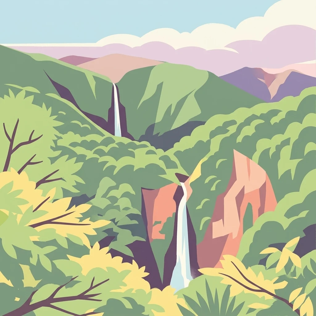
Stylized image of two waterfalls flowing through dense green forest with rocky cliffs, set against rolling mountains and a light blue sky with pink clouds

Caribbean volcanic rainforest park protecting Basse-Terre's mountain massif

Guadeloupe National Park

Guadeloupe National Park is a tropical national park in the French overseas department of Guadeloupe, located in the Leeward Islands of the eastern Caribbean. The park encompasses the mountainous interior of Basse-Terre, Guadeloupe's largest island, protecting one of the most significant rainforest ecosystems in the Lesser Antilles. Established in 1989, the park covers a core area of 173 square kilometers along with a buffer zone and an adjacent marine protected area known as the Grand Cul-de-Sac Marin Nature Reserve. Together with the marine reserve, the park forms part of the Guadeloupe Archipelago biosphere reserve designated by UNESCO in 1992, representing France's first national park outside metropolitan France and a critical conservation asset in the Caribbean region. The park's landscape is dominated by the dramatic volcanic massif of La Soufrière, an active volcano rising to 1,467 meters at the park's highest point. This stratovolcano and its surrounding peaks including Échelle, Grand-Sans-Toucher, and the twin Mamelles create a rugged, mountainous terrain that descends through distinct ecological zones from cloud forest summits to coastal forests and mangrove wetlands. The park protects approximately two-thirds of Basse-Terre's tropical forest, representing one of the few remaining substantial tracts of primary rainforest in the eastern Caribbean. The Grand Cul-de-Sac Marin Nature Reserve adds significant marine and coastal wetland habitat, including nearly half of Guadeloupe's mangrove ecosystems. The park holds particular significance as a biodiversity refuge in a region where habitat loss and invasive species have dramatically reduced native wildlife populations. Its montane rainforests shelter diverse plant communities adapted to the moisture-laden cloud forest conditions, while the marine reserve protects critical coastal ecosystems. The combination of terrestrial and marine protection within a unified management framework makes Guadeloupe National Park one of the most comprehensive protected area systems in the Caribbean.

Location
Guadeloupe
Park type
National park
Established
1989
Area
173 km²
Highest point
1,467 m
Guadeloupe National Park Protected Area

Review Guadeloupe National Park dates, depths, places, and distances

Study historical earthquake records around Guadeloupe National Park

Guadeloupe National Park’s results organize earthquake reports by epicentre and distance to a Caribbean park of volcanic mountains, rainforest, rivers, coast, and marine habitat. Dates, magnitudes, depths, localities, separation, and sources provide a historical trail, but do not determine boundary occurrence, volcanic linkage, park impacts, present threat, or future activity.

Sort by
Magnitude
Location

This page describes catalogued earthquakes associated with the park by epicentre location and distance. It does not establish causation, assess current danger, or predict future earthquakes.

No earthquake records match the current filters

Park atlas

Go beyond Guadeloupe National Park earthquake history in the atlas

Discover other protected parks after Guadeloupe National Park

After Guadeloupe National Park’s earthquake records, MoriAtlas opens other protected landscapes without extending its Caribbean rainforest and volcanic context. Inclusion does not indicate shared island geography, designation, proximity, seismic history, geology, hazard, risk, or earthquake-page availability, and every destination should be read from its own evidence.
Marine protected areaFrance
Park boundaries overlap#1 closest

Southeast

Sanctuaire Agoa: Exploring the Marine Protected Landscapes of the French Antilles

Regional marine mammal sanctuary and Caribbean oceanic geography

Sanctuaire Agoa represents a significant marine protected area spanning 143,000 square kilometers across the Caribbean. The sanctuary provides vital protection for humpback whales, dolphins, and various marine mammals while serving as a hub for regional cooperation in the Lesser Antilles. Mapping the sanctuary reveals a complex maritime space that stretches from shallow reef-fringed volcanic islands to deep ocean pelagic waters.

Area
143,256 km²
Established
2010
Climate
Tropical
Access
Access unknown
National parkDominica
About 49 km away#2 closest

Southeast

Cabrits National Park: Protected Landscape and Geographic Context in Dominica

Explore Dominica's volcanic terrain and mapped protected areas.

Delve into the protected landscape of Cabrits National Park, a key component of Dominica's natural heritage. This entry provides an atlas-focused view of the park, detailing its geographic setting and mapped boundaries within the island nation. Understand how Cabrits National Park contributes to the regional geography of the Lesser Antilles and appreciate its significance as a protected natural area for structured discovery.

Area
5.3 km²
Established
1986
IUCN
II
Relief
Upland
National parkDominica
About 61 km away#3 closest

Southeast

Morne Diablotin National Park: Dominica National Park Geographic Atlas Exploration

Mapped protected areas and regional landscape context.

Morne Diablotin National Park serves as a vital national park within Dominica, offering specific insights into its protected terrain and geographic setting. Explore its mapped boundaries and understand its role as a distinct natural landscape within the island's atlas, providing focused discovery for those interested in protected areas and their regional context.

Area
33.35 km²
Established
2000
Relief
Mountain
Climate
Tropical
Watercolor painting of a coastal landscape with green hills, trees in the foreground, and a calm sea, featuring a light and airy artistic style.
National parkAntigua and Barbuda
About 69 km away#4 closest

North

Nelson's Dockyard National Park: Protected Maritime Heritage and Caribbean Coastal Geography

Mapped terrain, historical dockyards, and Antiguan coastal trails

Nelson's Dockyard National Park preserves a critical maritime hub in Antigua and Barbuda, defined by the interplay between a natural hurricane-shelter harbour and the rugged hills of the south coast. The protected site encompasses substantial stone naval architecture from the Georgian era alongside a network of trails that trace the dry forest ridges above English Harbour. This geography offers a distinct perspective on how human historical impact and natural tropical landscape preservation coexist in the Caribbean Lesser Antilles.

Relief
Lowland
Scope
Mixed
Water
Major water bodies
National parkDominica
76 km away#5 closest

Southeast

Morne Trois Pitons National Park: Dominica's Volcanic Protected Area Atlas

Explore its unique geothermal terrain and mapped natural boundaries.

Morne Trois Pitons National Park represents a core protected area within Dominica, renowned for its dramatic volcanic landscapes and rich geothermal activity. This national park features steep volcanic cones, deep canyons, and diverse terrain shaped by intense geological forces. The park's mapped boundaries encompass unique natural wonders, offering a focused study of volcanic geography and protected ecosystems. Discover the contours of this significant Caribbean landscape and its inherent natural value.

Area
68.57 km²
Established
1975
IUCN
II
Relief
Mountain
National parkAntigua and Barbuda
About 77 km away#6 closest

North

Green Castle Hill National Park: Volcanic Landscapes and Archaeological Sites in Antigua

A preserved hilltop ridge within the Shekerley Mountains of Antigua.

Green Castle Hill preserves a significant volcanic landscape in the southwest of Antigua. Renowned for its circle of ancient standing stones and its status as the first national park within the Shekerley range, the site offers a unique intersection of cultural heritage and mountain geography. Access map-driven insights into the protected boundaries and regional terrain that define this Caribbean hilltop.

Established
2008
Relief
Mountain
Climate
Tropical
Scope
Terrestrial
Protected areaAntigua and Barbuda
About 84 km away#7 closest

North

Fort Barrington Protected Area: Historic Coastal Ruins and Mapping in Antigua and Barbuda

Coastal hilltop ruins and strategic Caribbean maritime defense geography

Fort Barrington occupies a commanding vantage point above St. John's Harbour in Antigua and Barbuda. The site preserves stone ruins from an 18th century battery, illustrating the strategic importance of this elevated coastal landscape. Our data mapping highlights the fort's relationship to the harbor entrance, providing clear context for its role in colonial maritime defense and its ongoing environmental exposure within the Lesser Antilles.

Established
1779
Relief
Upland
Access
Easy access
Scope
Terrestrial
Nature reserveMartinique
About 139 km away#8 closest

South

Réserve naturelle régionale marine du Prêcheur - Albert Falco: Martinique Marine Protected Area Atlas

Coastal habitat protection and seabed geography in the French Caribbean.

This protected area encompasses over 600 hectares of seabed and water column along the Le Prêcheur coastline. It represents a significant conservation effort within the Lesser Antilles, preserving coral reefs and nearshore marine structures situated beneath the volcanic terrain of northern Martinique. Named after the oceanographer Albert Falco, the reserve maintains a distinct connection to the maritime heritage of the island.

Area
6.03 km²
Established
2014
IUCN
IV
Scope
Marine
MoriAtlas Explorer

Continue Your Atlas Exploration of Guadeloupe National Park's Protected Landscape

Deepen your understanding of Guadeloupe National Park by navigating its specific geographic context and protected area features. Discover how this national park contributes to the regional atlas of conservation landscapes in the Caribbean. Continue to explore its mapped terrain and understand its significance as a protected natural environment.