Mori Atlas logo
Park earthquake history

A structured repository of recorded seismic events associated with this Bothnian Bay landscape.

Historical Earthquake Records and Seismic Activity Catalogue for Haparanda Archipelago National Park

This historical catalogue provides a filtered collection of recorded earthquake events associated with the geographical coordinates of Haparanda Archipelago National Park. Each entry includes specific data points such as occurrence dates, reported magnitudes, epicentre depths, and relative proximity to the island chain. The collection serves as an objective reference for understanding regional seismic history, focusing on verified data points sourced from established monitoring networks.

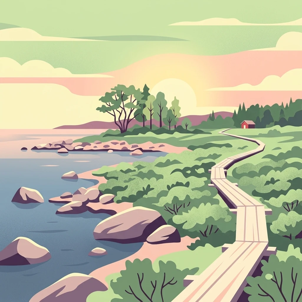
Illustration of a wooden boardwalk along a rocky coastline with trees, water, and a sunset

Northern Baltic archipelago with dramatic sand dunes and rich birdlife near the Swedish-Finnish border

Haparanda Archipelago National Park

Haparanda Archipelago National Park is a coastal protected area in the far north of Sweden, situated in the Bothnian Bay (Bottenviken) just west of the Finnish border. The park encompasses a chain of islands that have emerged from the sea relatively recently in geological terms—within the last 1,500 years—due to post-glacial rebound, the ongoing rise of land following the retreat of the last ice age. This dynamic process continues today at approximately 8.5 millimeters per year, meaning the islands are steadily growing and expanding. The archipelago features two main islands, Sandskär and Seskar Furö, along with numerous smaller islands and rocky reefs. The landscape is characterized by extensive sandy beaches and prominent dune formations, a rarity in this northern Baltic region. The park lies adjacent to Finland's Perämeri National Park, forming a cross-border protected landscape along this remote stretch of coastline.

Location
Sweden
Park type
National park
Established
1995
Area
60 km²
Haparanda Archipelago National Park Atlas

Filter Haparanda Archipelago National Park records by depth and distance

Review earthquakes near Haparanda Archipelago National Park

Haparanda Archipelago National Park’s earthquake entries are linked by epicentre and distance from its northern Bothnian Bay islands, without classifying every event within the park. Searchable time, magnitude, depth, locality, separation, and sources provide historical context without claiming island effects, tying archipelago conditions to seismic cause, defining current danger, or predicting activity.

Sort by
Magnitude
Location

This page describes catalogued earthquakes associated with the park by epicentre location and distance. It does not establish causation, assess current danger, or predict future earthquakes.

No earthquake records match the current filters

Park atlas

Continue beyond Bothnian Bay records into independent protected landscapes

Explore further parks after Haparanda Archipelago National Park

The collection after Haparanda Archipelago National Park opens other protected-place profiles beyond its earthquake evidence. Their appearance does not establish shared archipelago terrain, Baltic geography, coastal designation, bird habitat, nearby position, seismic records, or earthquake pages, leaving each destination’s own atlas profile to define its context.
National parkLapland
About 21 km away#1 closest

East

Bothnian Bay National Park: A National Park in Lapland's Geographic Atlas

Protected landscape and mapped terrain in northern Finland.

Delve into Bothnian Bay National Park, a key protected area situated in the Lapland region of Finland. This page serves as an atlas gateway to understanding the park's specific geographic features, its mapped boundaries as a national park, and its role within the broader context of Finland's protected natural landscapes.

Area
157 km²
Established
1991
IUCN
II
Visitors
6.3K annual
Watercolor illustration of a landscape with hills, a lake, trees, and a sunset
National parkNorthern Ostrobothnia
161 km away#2 closest

Southeast

Rokua National Park: Mapping Finland's Glacial Heritage and Protected Landscapes

Discover unique geological formations and ancient boreal forests.

Rokua National Park in Northern Ostrobothnia offers a unparalleled glimpse into glacial history, designated as a UNESCO Global Geopark. Explore its mapped esker ridges, dramatic kettle holes like Syvyydenkaivo, and the ancient pine forests that thrive on its nutrient-poor soils. This protected landscape provides a rich context for understanding Quaternary geology and the development of northern Finnish natural environments, ideal for atlas-based geographic discovery.

Area
8.8 km²
Established
1956
IUCN
II
Visitors
50.7K annual
Watercolor landscape featuring green hills, pine trees, and a yellowish field
National parkFinland
165 km away#3 closest

East

Syöte National Park: Mapped Protected Landscape and Fell Geography in Finland

Explore Finland's southernmost fell and diverse northern wilderness.

Delve into the protected territory of Syöte National Park, a key national park in northern Finland. This page highlights the park's distinct geographic features, including its southernmost fell, Iso-Syöte, alongside expansive mire systems and old-growth boreal forests. Understand the mapped boundaries and the unique ecological transition zone it represents within the Finnish atlas, offering a comprehensive view of its landscape context and protected area status.

Area
299 km²
Established
2000
IUCN
II
Visitors
88.2K annual
Watercolor painting showing mountains, a river, and forested areas
National parkNorrbotten County
198 km away#4 closest

Northwest

Muddus National Park: Explore Sweden's Largest Old-Growth Protected Forest Landscape

Mapped boreal terrain with ancient pines and dramatic ravines.

Muddus National Park is a landmark protected area in Norrbotten County, celebrated for its immense scale and preserved old-growth forest character. This national park features a unique geography defined by ancient coniferous forests, including Sweden's oldest pine tree, alongside striking ravines and extensive mire systems. As part of the Laponian Area UNESCO World Heritage Site, Muddus offers an unparalleled opportunity for atlas-based discovery of an undisturbed boreal ecosystem accessible solely by foot, highlighting its profound natural and mapped landscape significance.

Area
493.4 km²
Established
1942
IUCN
II
Relief
Upland
Watercolor illustration showing a lake, rolling hills, and vegetation.
National parkLapland
205 km away#5 closest

Northeast

Pyhä-Luosto National Park: Ancient Geological Heritage and Fell Landscape

Explore Lapland's southernmost large fell system and deep gorges.

Pyhä-Luosto National Park offers a unique window into Finland's deep geological past and its boreal ecosystems. As a protected area, it encompasses a prominent chain of twelve fells composed of two-billion-year-old quartzite, showcasing the southernmost large fell system in the country. The park's landscape is further defined by features like Isokuru, Finland's deepest gorge, and extensive old-growth forests, providing rich context for map-based discovery and regional geographic understanding within Lapland.

Area
142 km²
Established
2005
IUCN
II
Visitors
198.9K annual
Watercolor illustration showing a landscape with green vegetation, hills, and stylized human figures
National parkLapland
208 km away#6 closest

East

Riisitunturi National Park: Explore Protected Landscape and Lapland Geography

Mapped boundaries of a national park in northern Finland.

Delve into the protected landscape of Riisitunturi National Park, a key national park situated in the expansive region of Lapland, Finland. This MoriAtlas entry provides detailed geographic context, focusing on the park's mapped boundaries and its role within the natural terrain of northern Finland. Understand its identity as a protected area and its significance within a broader atlas of natural landscapes.

Area
77 km²
Established
1982
IUCN
II
Visitors
58.8K annual
Watercolor painting showing rolling hills, forests, and distant mountains under a soft sky
National parkLapland
210 km away#7 closest

North

Pallas-Yllästunturi National Park: Lapland's Premier Protected Fell Landscape for Atlas Exploration

Explore its ancient mountain geography and mapped protected area.

Pallas-Yllästunturi National Park presents a unique atlas of Lapland's ancient geography, characterized by a vast chain of rounded fells that are the remnants of three-billion-year-old mountains. As Finland's most popular national park, it offers a deep dive into protected landscape discovery, showcasing diverse boreal forests, mires, and exceptional fell terrain. Understand its geographic scope and protected boundaries for comprehensive map-based exploration.

Area
1,020 km²
Established
2005
IUCN
II
Visitors
598.8K annual
Watercolor painting of a lake with trees and distant mountains under a soft sky
National parkFinland
243 km away#8 closest

East

Hossa National Park: Detailed National Park and Protected Landscape Geography

Explore mapped boundaries and regional context within Finland.

Delve into the protected landscape of Hossa National Park, a designated national park in Finland. This page provides structured geographic information, focusing on its mapped boundaries and position within the country's natural terrain. Understand how Hossa National Park contributes to the atlas of protected areas in Northern Europe, offering insights into its specific landscape character and regional significance for geographic discovery.

Established
2017
IUCN
II
Scope
Terrestrial
MoriAtlas Explorer

Continue Exploring Haparanda Archipelago National Park's Coastal Geography and Mapped Terrain

Delve deeper into the protected landscape of Haparanda Archipelago National Park by examining its unique coastal geography and mapped terrain. Understanding this park's dynamic geological processes and distinctive dune formations provides critical context for exploring its protected area status and its place within the broader Norrbotten County atlas. Continue your discovery of this exceptional northern Baltic environment.