
Mori Atlas logo
Nearby park discovery

A geographic comparison of surrounding nature reserves and regional protected terrain

Protected Areas and Natural Landscapes Situated Near Heider Bergsee in North Rhine-Westphalia

Discover the distribution of protected sites and natural habitats surrounding Heider Bergsee. This geographic view highlights the proximity of neighboring landscape features and regional conservation zones within the Nordrhein-Westfalen area, providing a clear perspective on the spatial connection between these established natural areas.

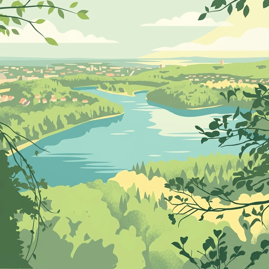
A stylized digital illustration of a lake landscape with dense green forests in the foreground, rolling hills in the distance, and light sky above.

A reclaimed lignite mining lake in the Ville lake landscape near Cologne.

Heider Bergsee

Heider Bergsee is an artificial lake in the southern part of the Villeseen lake landscape, located in the city of Brühl near Cologne in North Rhine-Westphalia, Germany. Created in the 1960s through the renaturation of an exhausted lignite mining pit in the Rhineland lignite mining district, it now forms one of the larger stillwater bodies in the Ville region. The lake covers roughly 35 hectares, reaches a maximum depth of about 8.6 meters, and is surrounded almost entirely by managed forest. It falls within the Rheinland Nature Park and part of its shoreline and surrounding land is designated as a nature reserve, giving it a dual character of protected habitat and recreational water body. Today, Heider Bergsee is well known locally as a swimming lake, camping destination, and water sports site. At the same time, its nutrient-poor, calcareous waters and carefully managed reed zones support a surprisingly diverse community of aquatic plants, waterbirds, amphibians, and insects, making it a notable example of successful post-mining landscape recovery.

Location
Germany
Park type
Nature reserve
Established
1965
Area
0.4 km²
Explore Heider Bergsee Nature Reserve
Regional park map

See the ranked park cluster in its geographic setting

Nearby parks around Heider Bergsee

This regional map shows the same 20 nearby parks ranked below around Heider Bergsee. Select a ranked marker to highlight that park’s boundary where boundary data is available.
Reference park: Heider BergseeRanked nearby park20 nearby parks shown
20 nearby parks

Distance-ranked protected landscapes and regional environmental comparison

Parks and Protected Areas Geographically Near Heider Bergsee

Examine the ranked collection of protected areas located geographically near Heider Bergsee using straight-line spatial measurements and mapped regional coordinates. Compare surrounding terrain traits, country context, and recorded environmental attributes to evaluate broader ecological patterns across the region.
A horizontal watercolor painting depicting a gentle, hazy green landscape with rolling hills, a line of trees, and a foreground meadow.
Protected landscapeNorth Rhine-Westphalia
Mapped location lies within the park boundary#1 closest

Southwest

Naturpark Rheinland: Geography and Protected Area Overview in North Rhine-Westphalia

A complex metropolitan nature park and lake district

Naturpark Rheinland represents a distinct convergence of reclaimed lignite mining landscapes, quiet lowland forests, and floodplain wetlands. Its mapped boundaries reveal a diverse terrain of ridges and river valleys that define the environmental character of the Cologne-Bonn metropolitan region.

Area
1,045 km²
Established
1959
Relief
Upland
Climate
Temperate
A watercolor illustration showing a landscape with a calm lake surrounded by greenery, small trees, and gently rolling hills in the background.
Nature reserveNordrhein-Westfalen
About 5.2 km away#2 closest

North

Hürther Waldsee Nature Reserve: Mapped Protected Geography and Reclaimed Mining Landscape

Ecological refuge on the Ville lake plateau of Germany

Examine the boundaries and natural features of Hürther Waldsee, a significant nature reserve in the Nordrhein-Westfalen region. This ten-hectare reclaimed mining lake offers a detailed map of post-industrial ecological recovery, featuring engineered islands, reed beds, and young beech and alder woodlands that define its protected status.

Area
0.106 km²
Established
1988
Relief
Lowland
Access
Moderate access
A soft watercolor illustration of a serene pond surrounded by gentle green hills and lush shoreline vegetation in a light, pastel color palette.
Nature reserveCologne
About 5.4 km away#3 closest

Northeast

Kiesgruben Meschenich: Geographic Analysis of a Cologne Nature Reserve Landscape

Examining the ecological terrain and mapped gravel-pit habitat network.

Kiesgruben Meschenich offers a distinct study in regional conservation, presenting a complex of excavation lakes, raw gravel substrates, and wetland fringes. This protected area stands as a primary example of how industrial remnants transform into valued ecological hubs, serving as a critical refuge for biodiversity in the densely populated Rhine landscape of North Rhine-Westphalia.

Area
0.265 km²
Established
1991
Relief
Lowland
Scope
Terrestrial
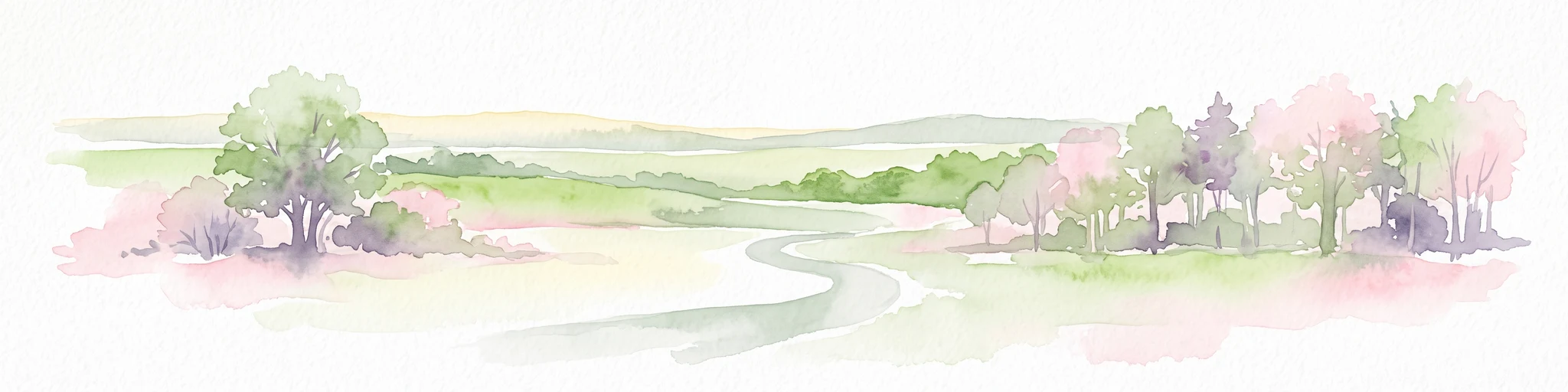
Watercolor landscape illustration showing a pale river curving through green trees with soft hills in the distance.
Nature reserveNorth Rhine-Westphalia
About 8.7 km away#4 closest

East

Langeler Auwald: A Protected Floodplain Forest in the North Rhine-Westphalia Rhine Corridor

Examining fluvial landscape patterns and riparian forest boundaries

Langeler Auwald functions as a significant nature reserve on the right bank of the Rhine in Cologne, preserving a rare mosaic of willow-poplar floodplain forest. The terrain encompasses periodically flooded gravel shores, nutrient-poor grasslands on flood dikes, and transitional orchard habitats that support a high density of protected species within the urbanized landscape of North Rhine-Westphalia.

Area
0.224 km²
Relief
Lowland
Climate
Temperate
Scope
Terrestrial
A soft watercolor illustration showing a peaceful landscape with gentle hills, trees, and small ponds reflecting light.
Nature reserveNordrhein-Westfalen
About 12 km away#5 closest

Southeast

Quarzsandgrube Nature Reserve: Geographic Profile and Protected Landscape Context

Protected mosaic of pioneer habitats in the Rhein-Sieg-Kreis

Located on the terrace slopes of the Rhein-Sieg-Kreis, Quarzsandgrube represents a significant refuge for early successional flora and fauna. The site features an uneven terrain of exposed sandy soils and water-filled hollows, providing a vital habitat corridor alongside adjacent protected areas. This detailed geographic profile maps the environmental conditions that define its current status as a protected nature reserve.

Area
0.29 km²
Established
1994
IUCN
IV
A soft watercolor painting showing a winding river with a lush green island in the middle, surrounded by soft-toned riverbanks and trees.
Nature reserveNorth Rhine-Westphalia
About 14 km away#6 closest

Southeast

Herseler Werth Nature Reserve: Geographic Overview of the Rhine River Island Landscape

A strictly protected riverine refuge in North Rhine-Westphalia

Herseler Werth represents a unique study in protected geography as the only non-publicly accessible Rhine island within North Rhine-Westphalia. Spanning 14.8 hectares, this long, narrow river island serves as a critical, human-excluded sanctuary that protects endangered species from industrial and urban disturbance. Its mapped boundaries and poplar-covered terrain illustrate the complex interaction between historical river hydrology and modern conservation efforts along the busy Bonn-Cologne corridor.

Area
0.148 km²
Established
1993
Relief
Lowland
Climate
Temperate
A soft, pale watercolor illustration of a lake with small islands and a low, distant treeline.
Nature reserveNorth Rhine-Westphalia
About 15 km away#7 closest

Northeast

Kiesgrubensee Gremberghoven Nature Reserve Geographic and Protected Area Overview

A restored industrial gravel pit ecosystem in North Rhine-Westphalia.

Kiesgrubensee Gremberghoven functions as a protected nature reserve in the Cologne metropolitan area. The site is defined by its origin as a former gravel excavation, now containing a substantial lake that attracts waterbirds and supports cliff-nesting colonies along its steep sandy slopes. This location serves as an informative case study for understanding how industrial remnants in German landscapes can be rehabilitated for conservation and ecological study.

Area
0.377 km²
Established
1989
Relief
Lowland
Climate
Temperate
Nature reserveCologne
About 15 km away#8 closest

East

Kiesgruben Paulsmaar Nature Reserve: Landscape and Geography in the Cologne Urban Fringe

A managed mosaic of post-industrial gravel pits and wetland habitats.

Kiesgruben Paulsmaar represents a distinct example of urban-edge habitat restoration in western Germany. Located near the border of Cologne, this 24-hectare nature reserve consists of three interconnected water bodies, floodplain forests, and calcareous grasslands. It serves as a regional refuge for biodiversity while documenting the conversion of former industrial land into a functioning wetland ecosystem.

Area
0.247 km²
Established
1991
Relief
Lowland
Climate
Temperate
Nature reserveNorth Rhine-Westphalia
About 16 km away#9 closest

East

Kiesgrube Wahn Nature Reserve: Mapped Geography and Protected Area Context

Protected landscape within the Bergische Heideterrasse of North Rhine-Westphalia

Kiesgrube Wahn provides a compact, high-value ecological mosaic in Cologne, Germany. This former gravel pit has transitioned into a protected nature reserve, hosting a range of aquatic and woodland environments that support rare plant and animal communities within the regional gravel-pit network.

Area
0.054 km²
Established
1988
Relief
Lowland
Access
Highly restricted
A horizontal watercolor painting of a river landscape with lush green trees, fields, and a distant church spire on the horizon.
Nature reserveRhein-Sieg-Kreis
About 16 km away#10 closest

Southeast

Siegaue und Siegmündung Nature Reserve in Rhein-Sieg-Kreis: A Geographic Overview

Protected floodplain ecosystems and river-mouth geography

The Siegaue und Siegmündung nature reserve protects a critical river-mouth landscape where the Sieg flows into the Rhine. This area features a complex mosaic of wet meadows, softwood alluvial forests, and abandoned river channels, providing essential habitat for migratory waders. The reserve represents a near-natural floodplain environment within the densely populated Cologne-Bonn Rhine plain.

Established
1985
Relief
Lowland
Climate
Temperate
Scope
Terrestrial
A watercolor illustration of a gentle, winding stream through a green, hilly valley with deciduous and coniferous trees, against a background of soft, blue-toned mountains.
Nature reserveNordrhein-Westfalen
About 20 km away#11 closest

North

Kernzone Ommelstal: Geographic Overview of the Protected Nature Reserve in Germany

A stream-valley mosaic within the Nordrhein-Westfalen loess plains.

Kernzone Ommelstal acts as a localized sanctuary of wet woodlands, ponds, and marshy ground situated in the fertile farming landscapes of Nordrhein-Westfalen. This 14-hectare reserve serves as a critical study of how small-scale landscape incisions, shaped by the Fliestedener Bach, create essential niches for habitat protection in intensively cultivated regions.

Area
0.143 km²
Established
2017
IUCN
IV
Nature reserveNorth Rhine-Westphalia
About 20 km away#12 closest

Southeast

Melbtal Nature Reserve in North Rhine-Westphalia: Map, Terrain, and Geographic Context

Deep-cut forested valley with unique geological instability

Melbtal stands as a protected nature reserve in Bonn, Germany, defined by its steep wooded slopes and the meandering Melbbach. This geographic entity offers a study in earth-science dynamics, featuring active landslides and a distinct cold-air flow that persists within a dense urban setting. Use this atlas perspective to understand the boundaries, terrain, and layered cultural history of one of the region's most prominent green corridors.

Area
0.2 km²
Established
2013
IUCN
IV
Relief
Upland
A soft watercolor painting depicting a panoramic landscape with rolling green hills, patches of forest, and gentle terrain.
Nature reserveNordrhein-Westfalen
About 22 km away#13 closest

Southeast

Kottenforst-Waldville Nature Reserve: Protected Landscape Geography and Forest Mapping

A significant oak-hornbeam woodland complex within Nordrhein-Westfalen.

Kottenforst-Waldville comprises extensive, interconnected forest blocks defined by their high-value oak-hornbeam stands and rare woodland pools known as Maare. This protected area supports a dense regional network of spring brooks and floodplain woodlands, serving as a critical refuge for woodpecker populations and raptors within the anthropogenically shaped landscape of the Rhine valley.

Area
35.853 km²
Established
2004
Nature reserveNorth Rhine-Westphalia
About 24 km away#14 closest

North

Worringer Bruch Nature Reserve: A Relict Rhine Floodplain in North Rhine-Westphalia

Ancient oxbow meander and vital inner-city wetland landscape.

Worringer Bruch stands as one of the best-preserved, silted-up oxbow meanders along the Lower Rhine. Spanning roughly 164 hectares, this nature reserve integrates floodplain forests, traditional orchards, and marshy meadows into a cohesive wetland mosaic. Serving as a low-lying ecological refuge near Cologne, the area remains deeply connected to the groundwater dynamics of the historic Rhine river corridor.

Area
1.64 km²
Established
1991
Relief
Lowland
Climate
Temperate
A watercolor painting of a gentle, rolling landscape with soft-focus hills in the distance and a cluster of light green and yellow trees in the middle ground.
Nature reserveNorth Rhine-Westphalia
About 26 km away#15 closest

South

Kalkarer Moor / Tongrube Toni: Wetland Mosaic and Protected Reserve in North Rhine-Westphalia

A study of calcareous fens and industrial landscape recovery.

Located in the Euskirchen district, this nature reserve is defined by the coexistence of a centuries-old calcareous flat mire and an abandoned clay pit now transformed into a vibrant groundwater wetland. The site provides a distinct look at hydrological recovery, featuring a dense patchwork of reedbeds, damp meadows, and successional woodland that remains ecologically vital for regional flora and avian habitats.

Area
0.496 km²
Established
1935
Relief
Lowland
Climate
Temperate
Nature reserveNordrhein-Westfalen
About 27 km away#16 closest

North

Wupperinsel Nature Reserve: Mapped Protected Landscapes in Nordrhein-Westfalen

Riparian woodland, floodplain islands, and meadow habitats.

Discover the geographic role of Wupperinsel as a designated nature reserve within the Wupper River corridor. This site features a rare Glatthafer meadow, mature poplar lines, and mixed-woodland groves that provide essential habitat connectivity. Analyze the protected island boundaries and the layered floodplain terrain that characterize this significant ecological fragment in urban Germany.

Area
0.054 km²
Established
1987
IUCN
IV
Nature reserveLeverkusen
About 28 km away#17 closest

North

Krapuhlsee Nature Reserve: Protected Wetland and Gravel Lake Geography in Leverkusen

Exploring post-industrial habitat mosaics and conservation terrain

Krapuhlsee is a protected nature reserve in Leverkusen, North Rhine-Westphalia, known for its unique concentration of post-mining gravel lakes and nutrient-poor grassland habitats. Managed to support rare wild bee populations and ground-nesting birds, the reserve acts as a critical stepping-stone for ecological connectivity across the heavily industrialized Rhine corridor.

Area
0.082 km²
Established
1986
IUCN
IV
Relief
Lowland
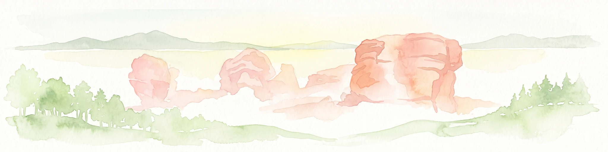
A horizontal watercolor illustration showing red sandstone rock formations nestled among stylized green trees against a pale yellow background.
Nature reserveMechernich
About 28 km away#18 closest

Southwest

Katzensteine Nature Reserve: Red Sandstone Formations and Archaeological Heritage in Mechernich

Protected geological terrain in the North Rhine-Westphalia Eifel region

Katzensteine stands as a distinctive protected landscape defined by 15 meter high red Middle Buntsandstein cliffs. Beyond its geological status, the nature reserve links Stone Age archaeology and Roman industrial history within the Veybach valley. This area provides essential context for the broader sandstone belt spanning the Eifel, showcasing the interplay between natural erosion, sediment layering, and long-standing human presence in the German landscape.

Established
1937
Relief
Upland
Climate
Temperate
Access
Access unknown
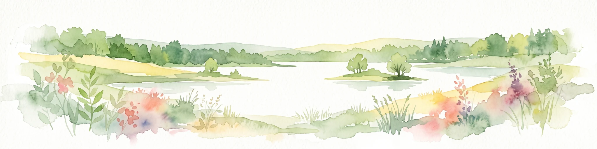
Watercolor illustration of a peaceful lake with trees on a small island and flowering meadows in the foreground.
Nature reserveNordrhein-Westfalen
About 29 km away#19 closest

North

Monheimer Baggersee Nature Reserve: Geographic Overview and Protected Landscape Mapping

Located within the Lower Rhine terrace of Nordrhein-Westfalen

Monheimer Baggersee represents a vital protected landscape shaped from a former gravel quarry. This reserve provides a comprehensive geographic look at mineral-substrate habitats, irregular lake shorelines, and specialized avian breeding grounds within the urbanized Mettmann district.

Area
0.712 km²
Established
1981
IUCN
IV
Relief
Lowland
Watercolor painting of a pastoral landscape featuring a winding river, green fields, and clusters of trees, rendered in a soft, impressionistic style on a white background.
Nature reserveNordrhein-Westfalen
About 30 km away#20 closest

North

Southerberg Nature Reserve: Protected Woodland and Wetland Mosaic in Nordrhein-Westfalen

A rare habitat bridge on the Bergische Sand terrace.

Southerberg serves as a crucial nature reserve in Leverkusen, Nordrhein-Westfalen, balancing wet birch-oak forests with reedbeds and meadows. This compact protected area functions as a key ecological connector between larger regional habitats, showcasing a refined topographic transition from valley basin to sandy slope.

Area
0.149 km²
Established
1987
IUCN
IV
Relief
Lowland
Distance methodology

Geographic measurements, not driving distances

How nearby park distances are calculated

Distances use park boundaries whenever the available geometry allows it. When one or both boundaries are missing, the mapped park locations provide a clearly labelled estimate. Every value represents straight-line geographic separation and does not use roads or routing.

Boundary distance

Calculated between the nearest points of both park boundaries.

Location-to-boundary estimate

Estimated from one mapped park location to the nearest boundary of the other park.

Mapped-location estimate

Estimated between the mapped locations of both parks.

MoriAtlas Explorer

Continue Exploring the Protected Landscape of Heider Bergsee

Deepen your understanding of Heider Bergsee by examining its post-mining geography and current status as a protected nature reserve. MoriAtlas provides the structured data needed to trace the lake's unique shorelines, mixed forest boundaries, and role within the larger North Rhine-Westphalia terrain.