Mori Atlas logo
National parkKhadim Nagar National Park

Discover the mapped boundaries and geographic context of this protected natural area.

Khadim Nagar National Park: Bangladesh National Park, Sylhet District Protected Landscape

Khadim Nagar National Park represents a key protected natural area within Bangladesh's Sylhet District. As a designated national park, it offers critical insight into the region's natural landscape and geographic distribution of conservation lands. This page provides a structured exploration of its identity as a protected entity, emphasizing its mapped presence and contribution to the broader atlas of natural areas.

National ParkEvergreen ForestHill LandscapeNortheast BangladeshSylhet RegionTea Estate Landscape
Mushroom-shaped shelter with benches in a forested area with bamboo and mountains

Khadim Nagar National Park

National park

Park overview

Structured park overview, official facts, and landscape profile for Khadim Nagar National Park

Khadim Nagar National Park park facts, protected area profile, and essential visitor context
Review the core facts for Khadim Nagar National Park, including designation, size, terrain, visitor scale, habitats, and operating context in one park-focused overview.

About Khadim Nagar National Park

Khadim Nagar National Park occupies a distinctive position among Bangladesh's protected areas as a hill-forest ecosystem in the country's northeast, near the major city of Sylhet. The park's establishment in 2006 marked the formal recognition of an area that had undergone significant ecological transformation through both colonial-era land clearing and subsequent reforestation efforts. The approximately 679-hectare park sits within an undulating landscape characterized by hills, streams, and varying terrain that has been shaped by both natural processes and human activity. The forest composition reflects a mix of natural regeneration and planted species, with the area divided into six forest working circles managing different plantation types including LR, SR, bamboo, cane, and agar plantations. The surrounding landscape includes several tea estates, reflecting the agricultural history of the Sylhet region and creating a park boundary that blends natural forest with human-modified environments. This combination of ecological significance, historical context, and geographic character makes Khadim Nagar an important component of Bangladesh's efforts to preserve representative examples of its diverse ecosystems.

Quick facts and research context for Khadim Nagar National Park

Khadim Nagar National Park spans roughly 679 hectares of hilly terrain in Sylhet District, approximately 13 kilometers east of Sylhet City in northeastern Bangladesh. The protected area was formally established on April 13, 2006, under the Bangladesh wildlife preservation framework. The park's landscape features undulating hills dissected by streams and hill spurs, with forest plantations of varying ages creating a mosaic of vegetation cover. The climate is tropical monsoon, with the rainy season extending from June through September. The surrounding area includes tea estates such as Kalagool, Bhurjan, and Goolni, reflecting the region's colonial agricultural history.

Park context

Deeper park guide and search-rich context for Khadim Nagar National Park

Khadim Nagar National Park history, landscape, wildlife, and travel context
Explore Khadim Nagar National Park through its history, landscape character, ecosystems, wildlife, conservation priorities, cultural context, and seasonal travel timing in a structured park guide built for atlas discovery and search intent.

Why Khadim Nagar National Park stands out

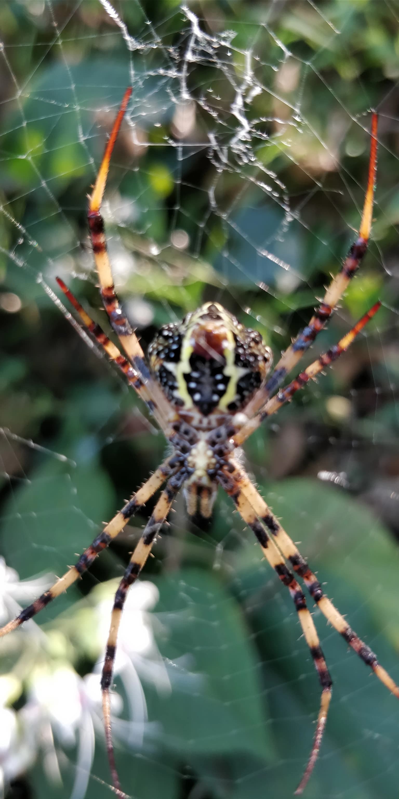
Khadim Nagar National Park is best known for its regenerated evergreen forest ecosystem on rolling hill terrain, representing one of Bangladesh's significant protected areas in the country's northeastern tea-growing region. The park contains approximately 352 plant species across 81 families, including valuable timber species such as teak and agarwood, as well as a notable orchid population featuring species like Aerides multiflora, Aerides odorata, and Dendrobium formosum. The mammal community is dominated by barking deer, with other species including jackals, mongoose, monitor lizards, and jungle cats. The park's identity is closely tied to its landscape of planted forests on former tea plantation land, creating a distinctive hill-forest character unique within Bangladesh's protected area network.

Close-up of a brown lizard with spines on its back clinging to a tree trunk
Common garden lizard clinging to a tree trunk

Khadim Nagar National Park history and protected-area timeline

The land that now comprises Khadim Nagar National Park has undergone significant transformations over the past two centuries. During the British colonial period, the area was extensively cleared to make way for tea plantations, reflecting the economic priorities of the colonial administration in the Sylhet region. After Bangladesh gained independence in 1971, the post-1950 period saw systematic reforestation efforts by the Forest Department, with planting programs establishing species including teak, garjan, bamboo, champa, agar, akashmoni, eucalyptus, and acacia mangium across the area. This decades-long process of tree plantation gradually restored forest cover to much of the hillsides, though the forest character remained distinctly shaped by these planting activities rather than representing a primary natural ecosystem. On April 13, 2006, the Bangladesh government formally declared the area a national park under the Bangladesh wildlife (Preservation) Amendment Act of 1947, providing it with formal protected area status and management frameworks appropriate for national park designation.

Khadim Nagar National Park landscape and geographic character

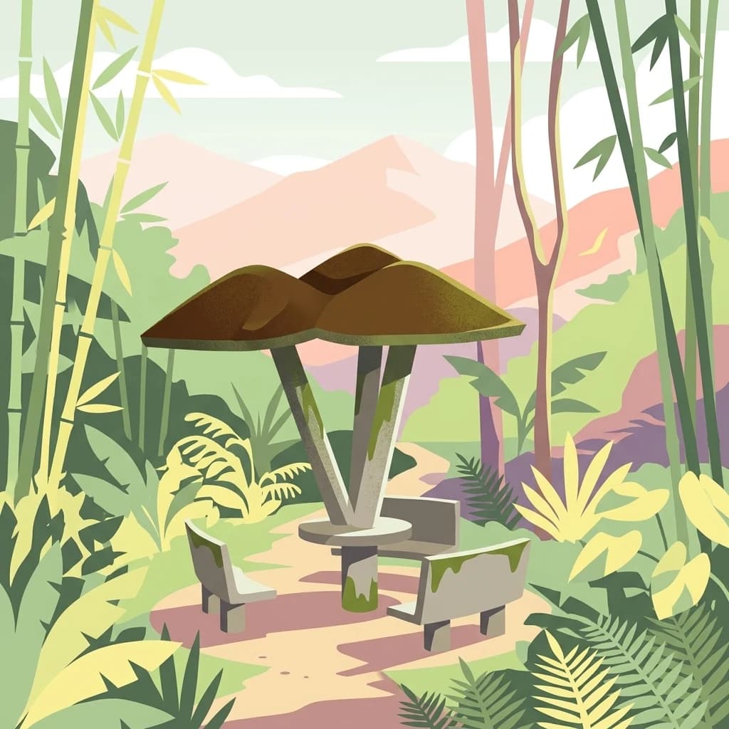
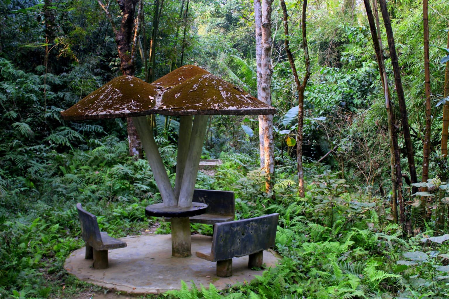
Khadim Nagar National Park is characterized by a hilly landscape of considerable topographic variation, with terrain that is much undulating and dissected by numerous streams and hill spurs. The park extends approximately 10 kilometers in length with a width of around 0.50 kilometers, creating a relatively narrow but elongated protected area following the hill formations. The overall appearance of the forest is comprised of various patches of artificial plantations of different ages, creating a mosaic landscape where areas of mature forest stand alongside younger plantation sections. The soil composition varies across the park, with loamy, clay, and sandy loam soils found in different locations, supporting the diverse vegetation types present. The park sits at approximately 24 degrees 57 minutes north latitude and 91 degrees 56 minutes east longitude, placing it within the tropical climate zone of northeastern Bangladesh. The surrounding area includes tea estates of Kalagool, Bhurjan, and Goolni, which frame the park boundaries and create a landscape where protected forest exists within a broader agricultural context.

Mushroom-shaped bench with two attached seats in a forested area with dense greenery
Mushroom-shaped bench surrounded by dense green forest in Khadim Nagar National Park

Khadim Nagar National Park ecosystems, habitats, and plant life

The ecological character of Khadim Nagar National Park reflects both its location in Bangladesh's northeastern region and its history as a planted forest area. The park contains approximately 352 plant species belonging to 81 families, representing a significant diversity within its 679-hectare boundary. The forest supports several valuable tree species including Aquilaria malaccensis (agar), Dipterocarpus turbinatus, Artocarpus chama, Chukrasia tabularis, Toona ciliata, Syzygium grande, Tectona grandis (teak), and Quercus gomeziana. The park is particularly notable for its orchid population, with species such as Aerides multiflora, Aerides odorata, Dendrobium formosum, and Bulbophyllum lilacinum found throughout the forest. The trees support numerous parasitic plants and epiphytic orchids, creating a vertically complex forest structure. Several plant species in the park face conservation pressure due to overexploitation, including Vitex peduncularis, Litsea glutinosa, Sterculia villosa, and Dehaasia kurzii. Additionally, species such as Swintonia floribunda, Aquilaria agallocha, Mangifera sylvatica, and various orchids are considered threatened within the park's ecosystem.

A spider with patterned legs on a web, surrounded by green foliage
Spider on its web in Khadim Nagar National Park

Khadim Nagar National Park wildlife and species highlights

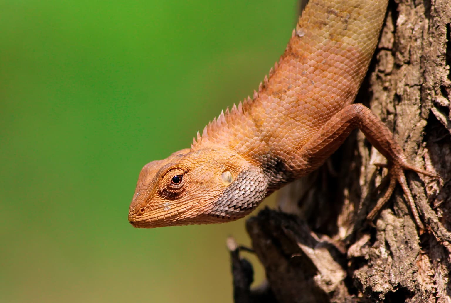
Khadim Nagar National Park supports a diverse faunal community with 26 mammal species, 25 bird species, and 20 reptile species recorded within its boundaries. The mammal population is dominated by barking deer, commonly known as muntjac, which represent the most frequently encountered large mammal in the park. Other mammalian species present include jackals, mongoose, jungle cats, and monitor lizards, the latter being a significant reptile species within the park. The diverse reptile community includes multiple species adapted to the forest floor and arboreal habitats created by the park's mix of mature trees and understory vegetation. The bird community, while less specifically described in available sources, contributes to the overall biodiversity significance of the park as a protected area. This faunal diversity, particularly the presence of multiple mammal species in a relatively compact protected area, demonstrates the ecological value of preserving the hill-forest habitat in Bangladesh's northeastern region.

Blue and green tents arranged in a row on a dirt path with trees and shadows
Camping tents set up on a dirt path in Khadim Nagar National Park forest

Khadim Nagar National Park conservation status and protection priorities

Khadim Nagar National Park serves as an important conservation area within Bangladesh's protected area network, representing the country's northeastern hill-forest ecosystems under formal national park protection. The park's designation in 2006 under the Bangladesh wildlife (Preservation) Amendment Act of 1947 provides a legal framework for habitat preservation and wildlife management. The conservation significance of the park is enhanced by the presence of several threatened plant species, including Swintonia floribunda, various orchids, Aquilaria species, and other flora facing pressure from overexploitation. The forest ecosystem, while containing significant planted components, has developed sufficient ecological complexity to support diverse mammal, reptile, and bird communities. The park's location within a landscape that includes active tea estates creates both conservation challenges and opportunities, as the protected area must function within a broader human-modified landscape while still maintaining meaningful ecological values.

Khadim Nagar National Park cultural meaning and human context

Khadim Nagar National Park exists within the broader cultural and agricultural landscape of Sylhet district, a region historically significant for tea cultivation during the British colonial period. The surrounding tea estates of Kalagool, Bhurjan, and Goolni represent the historical land use pattern that shaped the area before reforestation efforts transformed much of the hillsides into plantation forest. Sylhet itself is a major city in northeastern Bangladesh with its own historical significance as a region that experienced substantial colonial economic development focused on tea and other agricultural exports. The park's establishment in 2006 represents a relatively recent recognition of the ecological value of this transformed landscape, acknowledging that even areas with significant human modification can provide important habitat and ecosystem services. The relationship between the park and the surrounding tea-growing landscape reflects the broader pattern of conservation in Bangladesh, where protected areas often exist within actively managed agricultural regions.

A single green fern frond with serrated edges, surrounded by dense forest foliage
Close-up of a fern frond in the forest

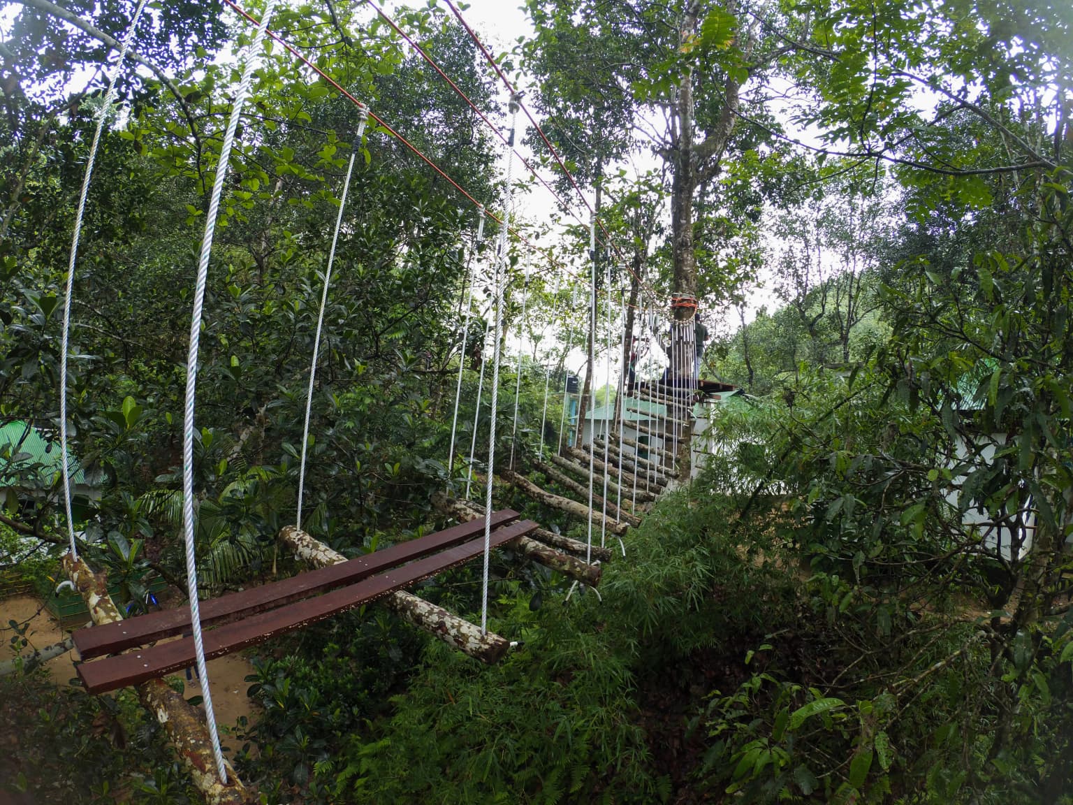
Top sights and standout views in Khadim Nagar National Park

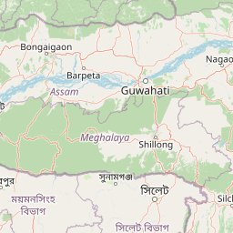
Khadim Nagar National Park stands out as Bangladesh's protected area in the northeastern hill-forest zone, featuring approximately 352 plant species across 81 families within its 679-hectare boundary. The park's distinctive character comes from its rolling hill terrain, with undulating topography dissected by streams and hill spurs creating a varied landscape. The orchid diversity, featuring species such as Aerides multiflora, Aerides odorata, and Dendrobium formosum, represents a particularly notable botanical highlight. The mammalian community, dominated by barking deer but also including jackals, mongoose, and jungle cats, provides wildlife viewing opportunities within the plantation forest environment. The park's history as a colonial tea plantation area subsequently reforested by the Forest Department creates a unique ecological character that combines elements of both natural forest and planted woodland. Located just 13 kilometers from Sylhet City, the park offers accessibility for visitors seeking to experience Bangladesh's northeastern hill-forest ecosystems.

Wooden suspension bridge with metal cables spanning a dense green forest, showing elevated trail structure in a national park setting
Suspension bridge crossing a forested ravine in Khadim Nagar National Park

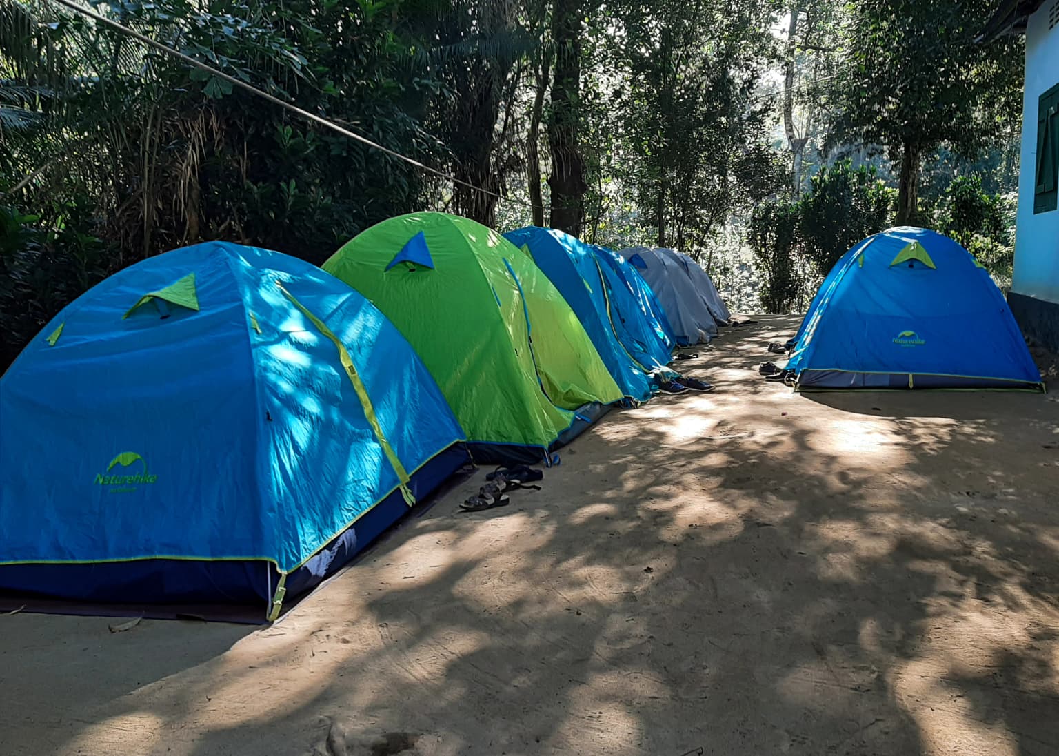
Best time to visit Khadim Nagar National Park

Khadim Nagar National Park can be visited throughout the year, though the tropical monsoon season from June to September brings significant rainfall that affects both accessibility and the forest environment. The monsoon period transforms the landscape with lush vegetation and active water streams, though some trails may become difficult to navigate during heavy rainfall. The post-monsoon and winter months from October through March generally offer more comfortable conditions for forest exploration, with reduced precipitation and milder temperatures. The park's evergreen forest maintains its green character throughout the year, ensuring that visitors encounter a verdant landscape regardless of season. The warm and generally humid climate means that visitors should prepare for tropical conditions regardless of when they choose to visit, with appropriate clothing and hydration being important considerations for any season.

Park location guide

Geography guide, regional context, and park location map for Khadim Nagar National Park

Khadim Nagar National Park park geography, regions, and map view in Bangladesh
Understand where Khadim Nagar National Park sits in Bangladesh through a broader geographic reading of the surrounding landscape, nearby location context, and its mapped position within the national park landscape.

How Khadim Nagar National Park fits into Bangladesh

Bangladesh, officially the People's Republic of Bangladesh, is a South Asian country known for its high population density and deltaic geography formed by the Ganges-Brahmaputra river system. It gained independence from Pakistan in 1971 following a liberation war. The country operates as a unitary parliamentary republic with Dhaka as its capital and largest city, while Chittagong serves as the second-largest city and main port.

Wider geography shaping Khadim Nagar National Park in Bangladesh

Bangladesh occupies the delta region at the confluence of the Ganges, Brahmaputra, and Meghna rivers in South Asia. The country shares land borders with India to the north, west, and east, and Myanmar to the southeast, while its southern boundary is along the Bay of Bengal. The terrain is predominantly low-lying deltaic plain, making it susceptible to flooding. The country is separated from Bhutan and Nepal by the Siliguri Corridor and from China by the Indian state of Sikkim.

Map view of Khadim Nagar National Park

Use this park location map to pinpoint Khadim Nagar National Park in Bangladesh, understand its exact geographic position, and read its mapped placement within the surrounding landscape more clearly.

Pigeon | © OpenStreetMap contributors

Location context for Khadim Nagar National Park

Sylhet District

Visual Atlas of Bangladesh's Northeastern Evergreen Forest, Undulating Terrain, and Conservation Habitats

Khadim Nagar National Park Photos: Explore Hill Forest Landscapes and Protected Area Scenery
Browse a visual atlas of Khadim Nagar National Park to understand its unique evergreen forest ecosystem and rolling hill terrain. The imagery offers essential geographic context, revealing the park's characteristic planted woodlands, diverse habitats, and distinctive protected-area environment within Bangladesh's northeastern region.

Close-up of a brown lizard with spines on its back clinging to a tree trunk

Green signboard with Bengali text marking the entrance to Khadim Nagar National Park, surrounded by trees and a dirt path

Mushroom-shaped bench with two attached seats in a forested area with dense greenery

A spider with patterned legs on a web, surrounded by green foliage

Blue and green tents arranged in a row on a dirt path with trees and shadows

Two people walking on a narrow dirt path through a dense bamboo forest

A single green fern frond with serrated edges, surrounded by dense forest foliage

Wooden suspension bridge with metal cables spanning a dense green forest, showing elevated trail structure in a national park setting

Butterfly with brown, yellow, and black patterns on a flower with green leaves

Park atlas

Compare hill-forest ecosystems and regional protected landscapes in northeast Bangladesh

Discover Other National Parks and Protected Areas Near Khadim Nagar National Park
Explore a curated selection of national parks and other protected areas situated around Khadim Nagar National Park, tracing the varied hill terrain and regenerated forest ecosystems of northeast Bangladesh. Continue your geographic discovery by mapping how these protected landscapes connect within the broader Sylhet region, revealing diverse conservation efforts and natural habitats.
National parkMoulvibazar District

Lawachara National Park: Protected National Park Landscape in Moulvibazar District

Mapped Terrain and Endangered Primate Habitat Exploration

Delve into the protected landscape of Lawachara National Park, a key national park located in the distinct undulating terrain of Moulvibazar District, Bangladesh. This area is recognized for its ecological significance, particularly as a sanctuary for endangered primates, including the critically important western hoolock gibbon population. Users can explore the park's mapped boundaries, understand its semi-evergreen forest ecosystem, and appreciate its geological features like sandstone hillocks and sandy-bedded streams, making it a valuable point of discovery for regional geography and conservation landscapes.

Area
12.5 km²
Established
1996
IUCN
II
Relief
Upland
National parkHabiganj District

Satchari National Park: Mapped Protected Landscape in Habiganj District

Discover regional geography and park boundaries.

Satchari National Park represents a significant protected area within Bangladesh, situated in Habiganj District. This entry focuses on its identity as a national park, detailing its geographic footprint and landscape context. Explore the mapped dimensions of this protected land to better understand its role in the regional atlas and its specific natural terrain.

Area
2.43 km²
Established
2005
IUCN
II
Relief
Highland
National parkTripura

Clouded Leopard National Park: National Park Protected Area in Tripura's Forested Landscape

Mapped primate habitat and regional geography in Northeast India.

Clouded Leopard National Park serves as a critical protected area within Tripura, India, focusing on the conservation of its forest ecosystems and primate populations, including the Phayre's langur. As part of the larger Sepahijala Wildlife Sanctuary, its mapped boundaries contribute to the regional protected landscape. This national park offers valuable insight into the natural terrain and biodiversity specific to Northeast India, providing a unique geographic focus for atlas exploration.

Area
5.08 km²
Established
2007
IUCN
II
Climate
Tropical
National parkBhaluka Upazila

Kadigarh National Park National Park: Protected Landscape Atlas and Geographic Overview

Understand Kadigarh National Park's mapped boundaries and regional geography.

Kadigarh National Park is a distinct national park recognized for its protected status within Bhaluka Upazila, Bangladesh. This entry offers an atlas-centric perspective, detailing the park's geographic boundaries and its contribution to the regional landscape. Examine the mapped extent of this protected area and understand its role within the surrounding natural geography, providing a factual basis for exploring its protected landscape identity.

Area
3.441 km²
Established
2010
Climate
Tropical
Access
Easy access
National parkAssam

Orang National Park: Assam's Key Floodplain Protected Landscape

Explore mapped boundaries and terrain context of this national park.

Orang National Park, located in Assam, India, is a significant protected area celebrated for its unique alluvial floodplain terrain and critical role in conservation. This national park provides a focused atlas-style view of grassland and wetland ecosystems, essential habitats for iconic species like the great Indian one-horned rhinoceros and Bengal tiger. Its geographical setting along the Brahmaputra River contributes to a dynamic landscape, offering rich context for understanding protected area distribution and regional natural features. Discover the mapped boundaries and ecological significance of this important protected land.

Area
78.81 km²
Established
1985
IUCN
II
Relief
Lowland
National parkBangladesh

Bhawal National Park: Mapped Protected Landscape in Bangladesh

Explore its national park designation and regional geography.

Bhawal National Park represents a key protected landscape within Bangladesh. This entry provides detailed information on its identity as a national park, focusing on its mapped geography and protected area significance. Users can explore the park's specific context within the broader South Asian region, understanding its contribution to the nation's conserved natural areas and gaining insight into its landscape character through an atlas-driven perspective.

Area
50.22 km²
Established
1982
IUCN
IV
Relief
Lowland
National parkTangail District

Madhupur National Park: Protected Landscape and Geographic Context

Explore its mapped boundaries within Tangail District.

Delve into the protected landscape of Madhupur National Park, a national park located in Tangail District. This resource provides critical geographic context, detailing the park's mapped boundaries and its role as a protected natural area. Understand its placement within the regional geography for a deeper appreciation of Bangladesh's conservation landscapes.

Area
84.36 km²
Established
1982
IUCN
II
Relief
Lowland
National parkManipur

Keibul Lamjao National Park: Mapped Boundaries and Protected Landscape Identity

Explore Manipur's unique national park geography and terrain.

Keibul Lamjao National Park represents a key protected area within the state of Manipur, India, offering critical insights into regional geography and protected landscape dynamics. This national park's unique environmental setting provides an excellent opportunity for structured atlas exploration, allowing users to understand its mapped boundaries and its significance within the subcontinent's network of conservation areas. Discover the specific geographic context and natural terrain that define Keibul Lamjao National Park.

Area
40 km²
Established
1977
IUCN
II
Relief
Lowland

Common questions about visiting, size, designation, and location context for Khadim Nagar National Park

Khadim Nagar National Park FAQs for park facts, access, geography, and protected area context
Find quick answers about Khadim Nagar National Park, including protected-area facts, park geography, trail and visitor context, and how the park fits into its surrounding country and regional landscape.
MoriAtlas Explorer

Continue Your Protected Areas Search Across the Global Atlas

Deepen your exploration by continuing the structured search for national parks and protected areas worldwide. Utilize the comprehensive filtering capabilities to compare different conservation landscapes and refine your understanding of global park geography. Discover more about the distribution and characteristics of protected natural areas.

Global natural geography