Peaks
Güllüce Dağı
2,360 m

Analyzing regional terrain, mountain peaks, and water features within the protected area
The geography of Kızıldağ National Park spans 551.06 square kilometers across Isparta Province. This detailed profile documents the internal natural terrain, including mountain peaks like Dedegöl Dağı and Güllüce Dağı, alongside lacustrine features like Beyşehir Gölü. The data provides a technical look at the recorded boundary extent and landscape composition of this mountainous region in Turkey.
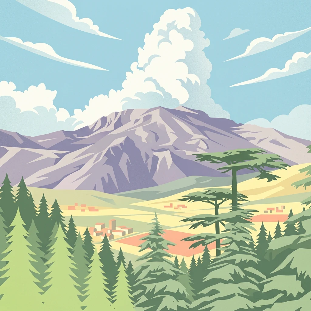
Mountain wilderness of the Taurus Ranges with unique cedar forests in southern Turkey
Kızıldağ National Park is a protected natural area in southern Turkey, established on May 19, 1969. The park occupies a significant mountain landscape spanning portions of the Yenişarbademli, Şarkikaraağaç, and Aksu districts within Isparta Province. The protected area encompasses rugged terrain of the Taurus Mountains, featuring elevations that rise dramatically from the surrounding countryside. The park is notable for its diverse forest ecosystems, particularly the presence of blue-leaf cedar forests that represent a unique vegetation type within Turkey. The area supports substantial wildlife populations including large mammals such as wolves and jackals, as well as important bird species including eagles, vultures, and falcons. Kızıldağ represents one of Turkey's earlier national park designations and serves as a significant conservation area for the Mediterranean mountain ecosystems of the region.
Regional placement and national jurisdiction within Isparta Province
Interactive protected-area geometry and calculated spatial metrics
Mountain classification and recorded geographic features
Peaks
2,360 m
Mountain ranges
Peaks
2,155 m
Islands
Peaks
1,888 m
Cave entrances
Mountain relief and forest landscape classifications across protected terrain
Mountains · Forest
Trace the regional geography and connected protected landscapes surrounding Kızıldağ National Park within Turkey's Isparta Province.

Southeast

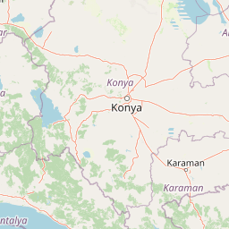
Discover the geography and mapped context of this national park in Konya.
Lake Beyşehir National Park is a major protected area in Turkey's Central Anatolia region, celebrated for its immense freshwater lake and diverse wetland habitats. The park's identity is strongly tied to its mapped boundaries that protect critical ecosystems, islands, and surrounding forested terrain. This page provides a detailed look at the park's geographic setting within Konya Province, serving as a valuable resource for atlas-based discovery of its unique natural and cultural landscape.
South
Discover unique geological formations and river canyon terrain.
Köprülü Canyon National Park represents a vital protected natural area, showcasing remarkable geological formations and a dramatic river canyon landscape. This entry provides a structured exploration of its mapped boundaries, regional geographic setting, and the unique terrain that defines this significant natural reserve, ideal for atlas-based discovery.
Southwest
Discover the geography and lake ecosystem of this Turkish national park.
Lake Kovada National Park offers a detailed look at a protected natural area within Turkey's Isparta Province. This page provides insights into the park's protected landscape, focusing on the central freshwater lake and its surrounding montane terrain. Explore its geographic context, mapped boundaries, and status as a significant protected area within the Taurus Mountain region, ideal for atlas-based discovery of Anatolian natural environments.
South
Explore Konya Province's longest cave system and its unique geological context.
Derebucak Çamlık Caves National Park is a vital protected landscape in central Turkey, celebrated for its extensive karst topography and significant cave formations. This national park encompasses thirteen unique caves and sinkholes, with Balatini Cave holding the distinction of being Konya Province's longest. The park's rugged terrain, characterized by pine forests and the Balat Stream feeding its underground systems, offers a profound look into Turkey's geological heritage and the conservation of its unique subterranean environments. MoriAtlas helps you navigate this mapped protected area.
South
Protected lands and mapped geological formations in Antalya Province.
Altınbeşik Cave National Park represents a significant protected karst landscape within Antalya Province, Turkey. The park's primary feature is the renowned Altınbeşik Cave, home to Turkey's largest subterranean lake and exceptional travertine formations. Explore the mapped geography of this unique national park, understanding its role as a critical discharge point for one of the world's longest karst aquifer systems.
Southwest
Protected national park with ancient ruins and diverse ecosystems.
Discover Mount Güllük-Termessos National Park, a key protected area within Antalya Province, Turkey. This national park is notable for its integrated cultural and natural heritage, featuring the extensive ruins of ancient Termessos and a diverse Mediterranean ecosystem supporting endangered wildlife. Its varied terrain, from lower shrublands to higher pine forests, alongside dramatic geological features like the Mecene Strait canyon, provides rich geographic context for atlas-based discovery.
Southwest
Explore mapped boundaries and natural terrain in Antalya Province.
Beydağları Coastal National Park is a significant protected national park located along the Mediterranean coast of Antalya Province, Turkey. This page provides an atlas-focused view of the park, detailing its geographic scope, the interplay of mountain and coastal landscapes, and its importance as a protected area. Users can delve into the mapped features and regional context that define this remarkable natural and historical landscape.
Northwest
Protected Area preserving pivotal geography and military history.
Commander-in-Chief National Historic Park is a designated protected area in Turkey, preserving the historic terrain of the decisive Battle of Dumlupınar. This site offers a unique glimpse into the geography and landscape that were instrumental in a key moment of the Turkish War of Independence. Explore the mapped context of this significant battlefield, understanding its role within the broader Anatolian geography and its importance as a preserved historic site.
Delve deeper into the mapped terrain and regional geography surrounding Kızıldağ National Park. Understand the park's ecological significance and its position within the Taurus Mountains, uncovering more layers of its protected landscape identity through structured atlas data.