Mori Atlas logo
Nearby park discovery

Regional mapping and geographic distribution of surrounding coastal landscapes

National Parks and Protected Areas Surrounding Kosterhavet National Park

Discover the network of protected areas and maritime landscapes situated in proximity to Kosterhavet National Park. This geographic overview highlights surrounding regional geography and mapped park boundaries, providing context for the unique coastal and marine habitats located within Västra Götaland County and the broader Skagerrak region.

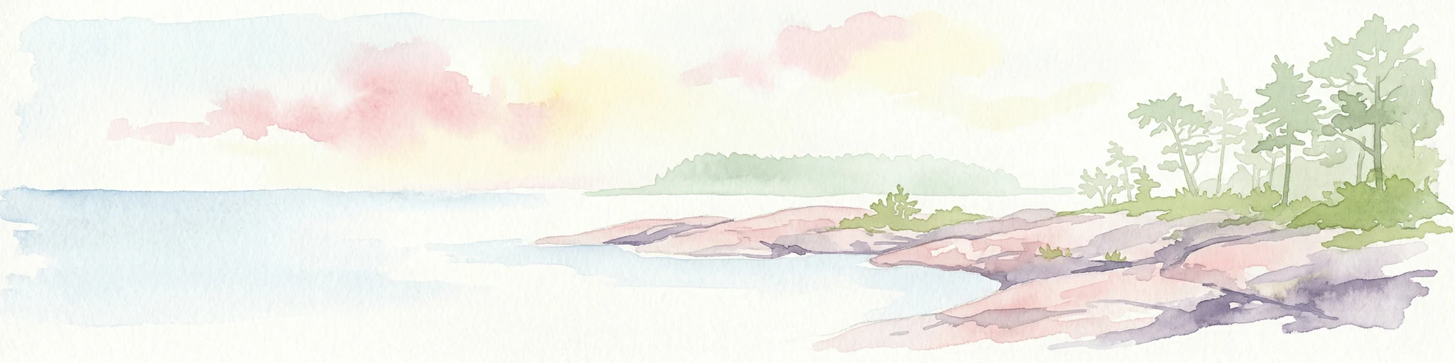
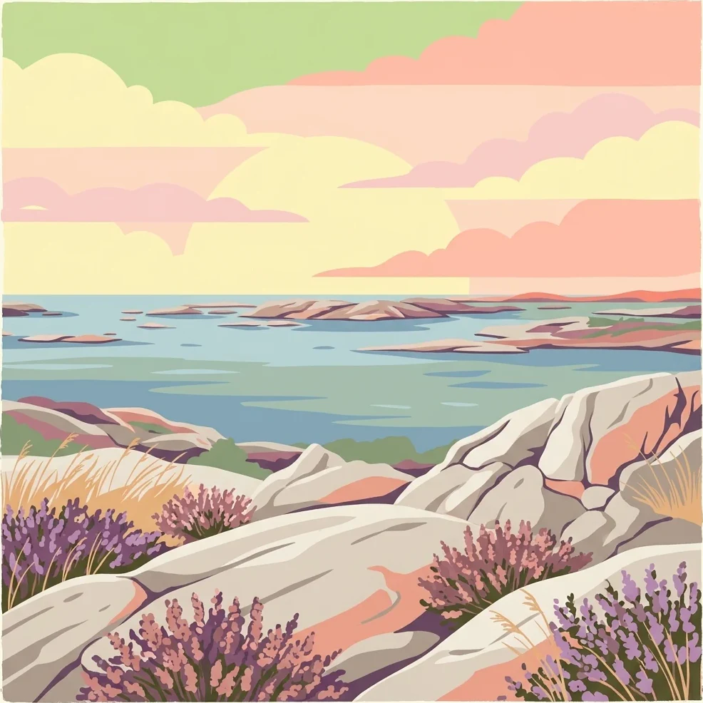
Stylized illustration of rocky coastline with lavender flowers, sea, and distant islands under a pastel sky

Sweden's first marine national park protecting the diverse waters of the Koster Islands

Kosterhavet National Park

Kosterhavet National Park is Sweden's first marine national park, established in September 2009 to protect the exceptional waters surrounding the Koster Islands in the Skagerrak Sea. Located off the coast of Bohuslän in Västra Götaland County, the park spans approximately 389 square kilometers, making it one of Sweden's largest protected marine areas. The park encompasses the sea and shores around the Koster archipelago, which consists of nearly 400 islands, though the largest islands themselves are excluded from the park boundary and protected separately as nature reserves. The marine environment within Kosterhavet stands as the most biologically diverse in Swedish waters. Over 6,000 marine species have been identified within the park, with approximately 200 of those found nowhere else in Sweden. The Kosterfjord reaches depths of 200 meters with cold, high-salinity water that supports species more typical of Atlantic conditions. The park is distinguished by having one of only two coral reefs along Sweden's coast, a rare cold-water coral formation in the deep basin known as the Säcken. This unique combination of Atlantic-influenced waters, deep fjords, and diverse habitats creates an ecological significance that extends well beyond Sweden's borders. The park shares its northern boundary with Norway's Ytre Hvaler National Park, creating a transboundary marine protected area that was established simultaneously in 2009. This connection reflects the shared ecological heritage of the Skagerrak strait, which connects the North Sea to the Baltic Sea. The park is managed by the Swedish Environmental Protection Agency in cooperation with Västra Götaland County and represents a pioneering approach to marine conservation in Scandinavia.

Location
Sweden
Park type
National park
Established
2009
Area
388.8 km²
Kosterhavet National Park Atlas
Regional park map

See the ranked park cluster in its geographic setting

Nearby parks around Kosterhavet National Park

This regional map shows the same 20 nearby parks ranked below around Kosterhavet National Park. Select a ranked marker to highlight that park’s boundary where boundary data is available.
Reference park: Kosterhavet National ParkRanked nearby parkSelected boundary: Kosterhavet National Park20 nearby parks shown
20 nearby parks

Distance ranked regional park geography and surrounding protected landscapes

Parks and Protected Areas Geographically Near Kosterhavet National Park

Browse nearby protected areas ranked by direct geographic distance from Kosterhavet National Park to compare surrounding regional landscapes. Structured environmental characteristics and country context reveal broader patterns across neighboring marine and coastal habitats.
National parkØstfold
Park boundaries overlap#1 closest

North

Ytre Hvaler National Park: Norway's Coastal Marine Protected Landscape Atlas

Explore protected archipelago geography and unique cold water coral reefs.

Discover Ytre Hvaler National Park, a pivotal marine protected area on Norway's Østfold coast. This atlas entry provides detailed insight into its defining skerry landscape, the significant Tisler cold water coral reef, and its role as a protected marine ecosystem. Understand the mapped boundaries and geographic context of this unique Norwegian coastal wilderness, crucial for understanding the region's natural and maritime heritage.

Area
354 km²
Established
2009
IUCN
II
Climate
Temperate
Watercolor illustration of a coastal landscape with reeds in shallow water and distant green hills under a pale yellow sky
National parkFærder Municipality
About 28 km away#2 closest

Northwest

Færder National Park: Norway's Coastal Archipelago & Marine Protected Area Atlas

Explore mapped landscapes and regional geography.

Færder National Park represents a significant protected landscape in Norway, characterized by its extensive marine environment and scattered archipelago. Situated east of Færder Municipality, the park's geography is defined by a mosaic of granite islands, coastal waters, and the iconic Færder Lighthouse. This entry provides atlas-level insight into the park's mapped boundaries, its role as a protected coastal ecosystem, and its contribution to the broader regional geography of Norway's southern coast.

Area
340 km²
Established
2013
IUCN
II
Relief
Lowland
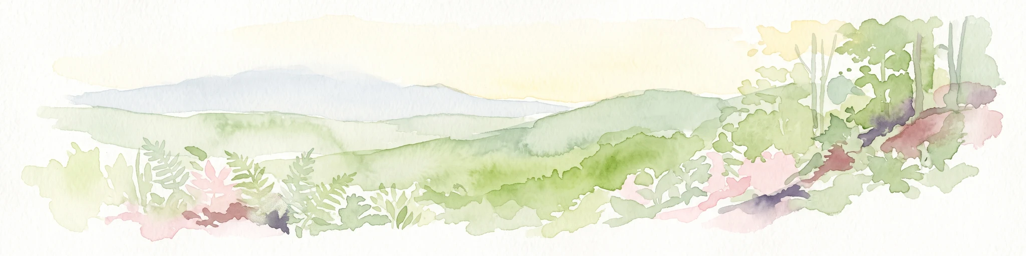
Watercolor illustration of a river, forested area, and mountains
National parkVästra Götaland County
34 km away#3 closest

Northeast

Tresticklan National Park: Preserved Old-Growth Forest on Rocky Heathland

Explore the geographic context and mapped boundaries of this vital protected area.

Tresticklan National Park is a vital protected landscape in Västra Götaland County, Sweden, safeguarding one of southern Scandinavia's most significant old-growth forest ecosystems. The park's terrain is defined by exposed granite bedrock, sparse heath pine forests, and a wild, remote character. MoriAtlas provides a structured overview of Tresticklan National Park, detailing its geographic setting and protected area status for explorers and cartographers.

Area
28.97 km²
Established
1996
IUCN
II
Relief
Upland
National parkTelemark
About 71 km away#4 closest

West

Jomfruland National Park: Coastal Archipelago and Skagerrak Marine Atlas

Norway's unique marine-focused national park landscape.

Jomfruland National Park is a significant protected landscape in Telemark, Norway, renowned for its coastal island geography and a landscape predominantly composed of marine waters. Covering 117 square kilometers, this national park emphasizes the conservation of both terrestrial island habitats and the surrounding Skagerrak coastal ecosystem. Explore the park's mapped boundaries and discover its regional geographic context, offering a unique perspective on Norway's protected areas and maritime natural heritage through MoriAtlas.

Area
117 km²
Established
2016
IUCN
II
Scope
Mixed
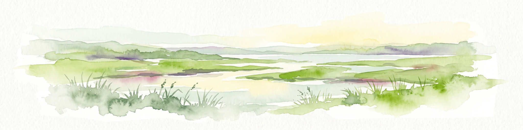
A watercolor landscape illustration showing a broad river delta with winding waterways, marshy banks, and distant hills.
Nature reserveAkershus
About 99 km away#5 closest

North

Nordre Øyeren naturreservat: Mapped Geography of Norway's Largest Inland Delta

Protected wetland landscapes and river delta terrain in Akershus

The protected land of Nordre Øyeren naturreservat comprises a vast mosaic of mudflats, islands, and river channels formed where three major rivers meet lake Øyeren. This detailed atlas entry explores the geographic significance of the bird's foot delta structure, providing context on its role as a critical inland wetland for migratory waterfowl within the Akershus region.

Area
62.568 km²
Established
1975
Relief
Lowland
Climate
Boreal
Watercolor painting of coastal waters, islands, rocky shore, and distant hills
National parkAgder
About 113 km away#6 closest

West

Raet National Park: A Coastal National Park Defined by Glacial Moraine Landscape in Agder

Explore Norway's southern coast geography and protected marine area.

Raet National Park offers a profound exploration of Norway's post-glacial landscape, anchored by its namesake 12,000-year-old glacial moraine. This unique protected area, predominantly marine, reveals a striking combination of terrestrial moraine features, extensive pebble beaches, and submerged geological formations. Understanding its mapped boundaries within Agder provides critical context for appreciating this significant coastal protected landscape, its marine ecosystems, and its role in the regional geography.

Area
607 km²
Established
2016
IUCN
II
Relief
Lowland
Protected areaRegion Nordjylland
128 km away#7 closest

South

Jerup Hede, Råbjerg og Tolshave Mose: Protected Area and Ridge and Pool Terrain

Geographic landscape overview in Region Nordjylland

Jerup Hede, Råbjerg og Tolshave Mose contains the largest continuous area of ridge and pool landscapes in Denmark. The site features an undulating terrain of hummocks and wet hollows typical of intact raised bogs, transitioning from inland heaths to coastal dune formations near the Skagerrak coast. It remains an essential site for studying Northern European mire ecosystems and wetland habitat patterns.

Area
40.24 km²
Relief
Lowland
Climate
Temperate
Access
Access unknown
Watercolor painting of a coastal landscape featuring rocky shore, trees, and distant island under pink and blue sky
National parkVästra Götaland County
128 km away#8 closest

East

Djurö National Park: Sweden's Lake Archipelago National Park in Västra Götaland County

Mapped island geography and protected aquatic landscapes.

Djurö National Park stands as a singular example of Sweden's protected natural areas, characterized by its unique position as a national park comprising a complete archipelago within Lake Vänern. This page focuses on the geographic identity of Djurö National Park, detailing its island distribution, protected land status, and the distinct landscape it preserves. Users will find context for its place within Västra Götaland County, facilitating an atlas-based understanding of this exceptional aquatic environment and its mapped boundaries.

Area
24 km²
Established
1991
IUCN
II
Relief
Mixed relief
Protected areaRegion Nordjylland
About 130 km away#9 closest

South

Natura 2000-område nr. 5 Uggerby Klitplantage og Uggerby Å's udløb Protected Area

Coastal dune and riverine landscape mapping in Region Nordjylland

Explore the varied terrain of this 717-hectare site featuring a complete sequence of green dune habitats, fresh water slacks, and the Uggerby Å river estuary. The area displays a dense concentration of coastal geomorphology and protected plant species, providing a deep look into the natural landscape character of the northern Danish coast along the Skagerrak.

Area
7.17 km²
Relief
Lowland
Climate
Temperate
Scope
Terrestrial
A soft watercolor painting of a low-lying coastal scene with rolling green hills and a light foreground.
Nature reserveRegion Nordjylland
About 135 km away#10 closest

South

Natura 2000-område nr. 4 Hirsholmene, havet vest herfor og Ellinge Å's udløb: Mapping Protected Landscapes

A dual marine and coastal nature reserve in Region Nordjylland

Analyze the marine and coastal topography of this significant Natura 2000 site. The mapped region spans from the Kattegat bubble reefs to the freshwater influence of the Ellinge Å outlet, offering a clear perspective on the distribution of sandbanks, island groups, and terrestrial habitats that characterize this protected Danish geography.

Area
95.33 km²
Established
2011
Relief
Lowland
Climate
Temperate
Watercolor painting of a coastal landscape with sand dunes meeting the ocean under a clear sky.
Nature reserveRegion Nordjylland
140 km away#11 closest

Southwest

Kærsgård Strand, Vandplasken og Liver Å Nature Reserve: Geographic and Landscape Atlas

Protected coastal dune systems and inland wetland geography

Examine the protected landscape of Kærsgård Strand, Vandplasken og Liver Å, a key Danish nature reserve characterized by complex dune hydrology, clear-water lake systems, and diverse botanical habitats. This site serves as a vital reference for northwestern European calcareous ecology and wetland preservation.

Area
4.42 km²
Established
2011
Relief
Lowland
Climate
Temperate
Watercolor illustration of a lush green valley with rolling hills, meadows, and trees in soft, muted tones.
Nature reserveNordjylland
141 km away#12 closest

South

Åsted Ådal Nature Reserve: Glacial Valley Mapping and Protected Land Context in Nordjylland

A diverse Natura 2000 habitat mosaic in Northern Denmark

Åsted Ådal serves as a premier example of Danish glacial topography, offering a deep dive into the complex environmental transitions of a moraine-carved valley. The protected site highlights a rich botanical and avian assemblage, anchored by its unique stream corridor and steep slopes, providing a comprehensive view of regional landscape character.

Area
1.24 km²
Relief
Upland
Climate
Temperate
Scope
Terrestrial
Nature reserveLæsø Municipality
144 km away#13 closest

South

Nordre Rønner: Protected Island Landscapes and Geographic Mapping of Læsø Municipality

Remote coastal nature reserve and marine habitat within the Danish Kattegat sea

Nordre Rønner represents a significant cluster of islets in the Kattegat, showcasing the interplay of post-glacial land rise and coastal ecology. Managed within Læsø Municipality, these eleven hectares of protected land include essential nesting grounds for terns and harbor seals. This resource outlines the physical geography, mapped island connections, and the status of this unique maritime nature reserve.

Area
0.11 km²
Relief
Lowland
Climate
Temperate
Access
Moderate access
Watercolor painting showing a green and tan coastal marshland with low hills in the distance.
Nature reserveLæsø
About 152 km away#14 closest

South

Østdelen af Læsø Nature Reserve: Mapped Coastal Geography and Protected Danish Island Terrain

Explore active dune systems, beach ridges, and coastal heath-mire habitats

Østdelen af Læsø features a distinct interplay of coastal geology and traditional heathland vegetation across its 266 hectares. The reserve spans from the elevated Danzigmand dunes to the dynamic, growing barrier islands of Store Knot and Lille Knot, offering a comprehensive look at Denmark's shifting coastal margins and vital seabird nesting grounds.

Area
2.66 km²
Established
1963
Relief
Lowland
Climate
Temperate
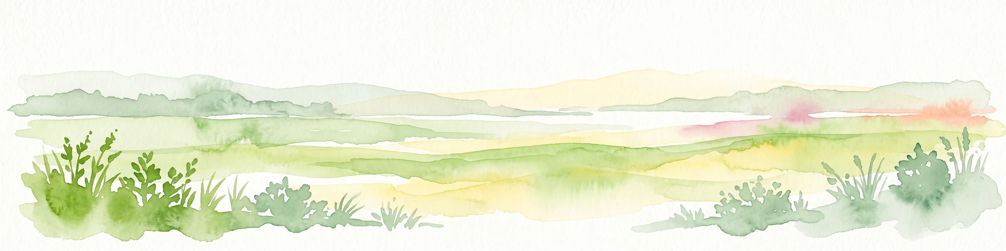
Watercolor painting of a low-lying coastal landscape with grasses, shrubs, and soft, hazy distant hills.
Nature reserveLæsø
About 155 km away#15 closest

South

Bovet Nature Reserve and Coastal Habitat Geography in Læsø, Denmark

A protected coastal corridor of heathland and salt marsh

Bovet is a 65-hectare nature reserve on the island of Læsø that safeguards a pristine 2.5 km stretch of Danish coastline. Characterized by a flat, open topography of heath, beach meadow, and reedbed, the site is defined by its sweeping views across Bovet Bugt and scattered glacial erratics. Its status as a bird protection area and Ramsar wetland highlights its importance as a habitat for breeding and resting waders within the Kattegat region.

Area
0.65 km²
Established
1964
Relief
Lowland
Climate
Temperate
Nature reserveRegion Nordjylland
158 km away#16 closest

South

Solsbæk Nature Reserve: Geographic Profile and Protected Coastal Dune Landscapes

A rare calcareous dune ecosystem in Region Nordjylland, Denmark.

Solsbæk is a designated nature reserve on the Vendsyssel coast, notable for its concentrated series of coastal dune habitats. Formed by lime-rich shell sand, the landscape sustains a diverse array of vegetation including grey and green dunes, juniper scrub, and dune heath. This compact site provides a vital reference for understanding the ecological structure and botanical variety of protected coastal lands in northern Denmark.

Area
0.33 km²
Established
1972
Relief
Lowland
Climate
Temperate
Nature reserveRingerike
About 177 km away#17 closest

North

Vikerfjell naturreservat: Geographic Atlas of Protected Forests in Ringerike, Norway

Mapped terrain of high-lying plateaus, ancient coniferous forests, and wetland mosaic.

Vikerfjell naturreservat serves as a vital protected area for old-growth coniferous forests and vulnerable lichen species. This atlas provides a detailed view of its mountain plateaus, forested slopes, and the expansive mire systems that characterize this key southern Norwegian conservation landscape within the Ringerike municipality.

Area
80.335 km²
Established
2016
Relief
Mountain
Climate
Boreal
Protected areaDenmark
About 193 km away#18 closest

South

Aalborg Bugt: Geography and Protected Area Overview in Northern Denmark

Coastal wetlands, shallow marine habitat, and fjord systems

Aalborg Bugt represents a defining seascape for northern Denmark, stretching along the Kattegat coast to include diverse coastal features like dunes, salt meadows, and rich fens. As the largest Natura 2000 site in the country, the bay supports a continuous conservation corridor that bridges marine environments with inland fjord networks, offering a deep look into the regional geography and protected-land dynamics of the Jutland peninsula.

Area
1,774 km²
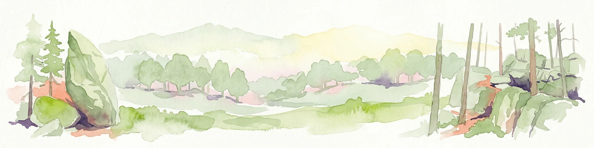
Watercolor illustration of a forest landscape with rocks, trees, and distant hills
National parkSweden
195 km away#19 closest

East

Tiveden National Park: Sweden's Protected Granite Landscape and Ancient Forest

Explore protected wilderness, fracture valleys, and geological heritage.

Tiveden National Park is a protected area in southern Sweden renowned for its ancient forests and rugged granite landscape. The park's terrain features deep fracture valleys, formed by ancient geological events, and stands as one of the last large remnants of older forest in the region. Discover the park's unique topography, mapped boundaries, and its significance as a protected natural landscape for atlas-based exploration.

Area
20.3 km²
Established
1983
IUCN
II
Relief
Mixed relief
Nature reserveInnlandet
About 198 km away#20 closest

North

Åkersvika naturreservat: Protected Wetland Ecosystems and Geography in Innlandet

A vital Ramsar wetland and avian sanctuary in Southern Norway

Åkersvika naturreservat functions as a key wetland protected area at the northern end of Lake Mjøsa. The reserve preserves diverse aquatic habitats including shallow bays, reed beds, and shoreline meadows. It serves as a landmark example of lowland wetland conservation in Norway, providing essential breeding and migration grounds for waterfowl and waders within the Innlandet geographic context.

Area
3.25 km²
Established
1974
Distance methodology

Geographic measurements, not driving distances

How nearby park distances are calculated

Distances use park boundaries whenever the available geometry allows it. When one or both boundaries are missing, the mapped park locations provide a clearly labelled estimate. Every value represents straight-line geographic separation and does not use roads or routing.

Boundary distance

Calculated between the nearest points of both park boundaries.

Location-to-boundary estimate

Estimated from one mapped park location to the nearest boundary of the other park.

Mapped-location estimate

Estimated between the mapped locations of both parks.

MoriAtlas Explorer

Continue Mapping Kosterhavet National Park's Protected Marine Geography

Deepen your understanding of Kosterhavet National Park by exploring its detailed geographic features and protected area boundaries. This marine national park offers a unique opportunity to study a vital Scandinavian ecosystem, characterized by its cold-water coral formations and significant marine biodiversity. MoriAtlas provides the tools to visualize this protected landscape and its place within the broader context of Västra Götaland County's coastal geography, inviting further atlas-driven discovery.

Global natural geography