
Why Mu Ko Chang National Park stands out
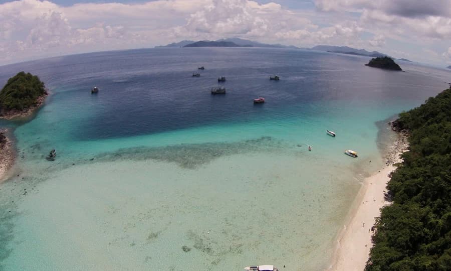
Mu Ko Chang National Park is renowned for its exceptional marine biodiversity and extensive coral reef systems. The waters surrounding the archipelago support healthy coral formations, particularly around islands such as Koh Wai and the Koh Rang archipelago. The park is celebrated for its diverse terrestrial and marine fauna, including oceanic whitetip sharks, hawksbill sea turtles, and reticulated pythons. On land, the island's montane rainforests harbor significant populations of great hornbills and other endemic bird species, while the coastal areas feature mangrove ecosystems and scenic beaches along the eastern shoreline.
Mu Ko Chang National Park history and protected-area timeline
The establishment of Mu Ko Chang National Park traces back to early conservation efforts in Thailand. Initial surveys of the area began in 1967 when officials from Trat Province explored the Than Mayom waterfall located on Ko Chang. These preliminary investigations led the Forestry Department to consider designating the area as a forest park. In 1973, the department approved in principle the creation of the Than Mayom Waterfall Forest Park, and subsequent surveys were conducted in subsequent years to gather additional data.
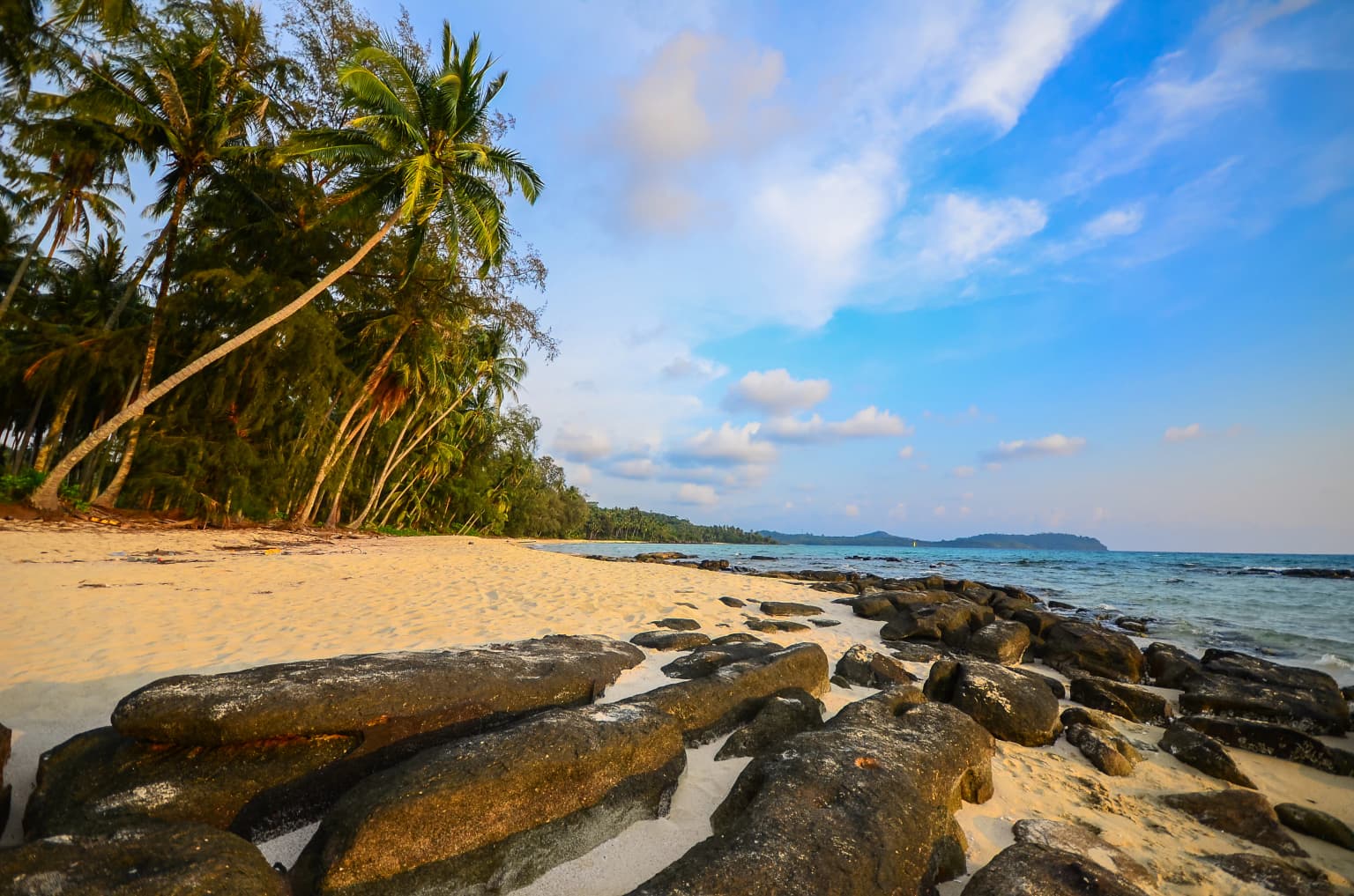
Mu Ko Chang National Park landscape and geographic character
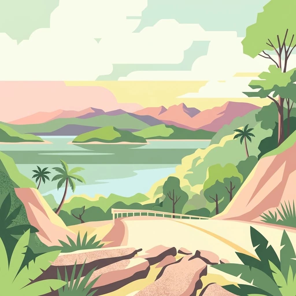
The park's physical landscape is characterized by dramatic mountainous terrain on the main island of Ko Chang, with steep forested slopes descending to the coastline. The island features a central mountain chain with the highest peak at Khao Salak Phet, reaching approximately 744 meters above sea level. The terrain includes complex rock formations, cliff faces, and numerous seasonal streams that create waterfalls throughout the island. The coastal areas feature sandy beaches, rocky headlands, and sheltered bays along the eastern shore. The surrounding marine environment includes coral reefs, seagrass beds, and underwater topography that supports the park's marine ecosystems.
Mu Ko Chang National Park ecosystems, habitats, and plant life
Mu Ko Chang National Park supports remarkable ecological diversity across both terrestrial and marine habitats. The terrestrial environment is dominated by moist evergreen forest and semi-evergreen forest in the higher elevations, while coastal areas contain beach forests, mangrove swamps, and peat swamp forests. The park's vegetation includes important tree species such as Dipterocarpus spp., Hopea odorata, and various members of the Dipterocarpaceae family. Marine habitats feature extensive coral reef systems that support high biodiversity, particularly around Koh Wai and the Koh Rang archipelago. The park's water areas receive significant rainfall averaging approximately 4,700 millimeters annually, with a tropical monsoon climate providing distinct wet and dry seasons.
Mu Ko Chang National Park wildlife and species highlights
The park supports a rich array of wildlife both in its marine and terrestrial zones. Marine species include oceanic whitetip shark and whitetip reef shark, while sea turtles such as the hawksbill turtle inhabit the coastal waters. The reptile population includes king cobras, reticulated pythons, and Asian water monitors. Terrestrial mammals present on the islands include barking deer, small Indian civets, squirrels, and stump-tailed macaques. The avifauna is particularly diverse, featuring species such as the red-headed trogon, blue-winged pitta, hooded pitta, great hornbill, wreathed hornbill, and oriental pied hornbill. The pink skunk clownfish inhabits the coral reef environments surrounding the islands.
Mu Ko Chang National Park conservation status and protection priorities
Mu Ko Chang National Park holds significant conservation value as a marine protected area and as a buffer zone for sustainable tourism. The park has been designated as a special area for sustainable tourism by Thailand's designated area for sustainable tourism agency since 2004. The coral reef systems within the park boundaries represent critical marine habitats that require protection from development pressures and unsustainable fishing practices. The park's forest ecosystems provide important watershed functions, with numerous streams originating in the montane areas and feeding waterfalls that are popular visitor destinations.
Mu Ko Chang National Park cultural meaning and human context
Ko Chang Island historically served as a sheltered harbor for maritime vessels躲避 monsoon storms and as a source of freshwater and provisions, particularly at the Salak Phet Bay area. The island gained recognition as a known haven for pirates, Chinese Hokkien sailors, and Vietnamese refugees in historical periods. Prior to its designation as a national park, the island contained no permanent settlements, though eight villages now exist on the island. The waters around Ko Chang hold historical naval significance, where Thai warships engaged French vessels during the Indochina campaign in January 1941, an event commemorated in Thai naval history.
Top sights and standout views in Mu Ko Chang National Park
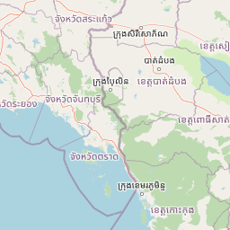
Mu Ko Chang National Park offers visitors access to pristine island landscapes, coral reef snorkeling and diving, and forested mountain trails. The park headquarters is located on the eastern side of Ko Chang near the Than Mayom waterfall, with three additional ranger stations positioned around the island at Khlong Son, Khlong Plu waterfall, and Salak Phet Village. The surrounding islands, particularly Koh Wai and the Koh Rang archipelago, feature some of the most well-preserved coral reefs in the region. The park's combination of mountainous interior, coastal beaches, marine environments, and historical significance makes it a comprehensive destination for nature-based tourism in eastern Thailand.
Best time to visit Mu Ko Chang National Park
The optimal period to visit Mu Ko Chang National Park falls during the cool dry season from November through February, when temperatures are moderate and rainfall is minimal. The southwest monsoon brings the wet season from May through October, with annual precipitation averaging around 4,700 millimeters. The summer season from March to April brings higher temperatures and humidity, with average temperatures around 27 degrees Celsius. The timing of visits may be influenced by the park's marine conditions, as visibility for snorkeling and diving tends to be better during the dry season months when seas are calmer.