Mori Atlas logo
Park earthquake history

Review documented seismic event data, epicentre proximities, and historical magnitude records

Historical Catalogue of Recorded Earthquakes Associated with Nairobi National Park

This historical catalogue provides a structured overview of seismic activity recorded in the vicinity of Nairobi National Park. Each entry includes specific details such as magnitude, event date, focal depth, and calculated epicentre distance from park boundaries. These records are gathered from authoritative geological sources to provide a clear, chronological perspective on seismic events documented in the region surrounding this protected savanna landscape.

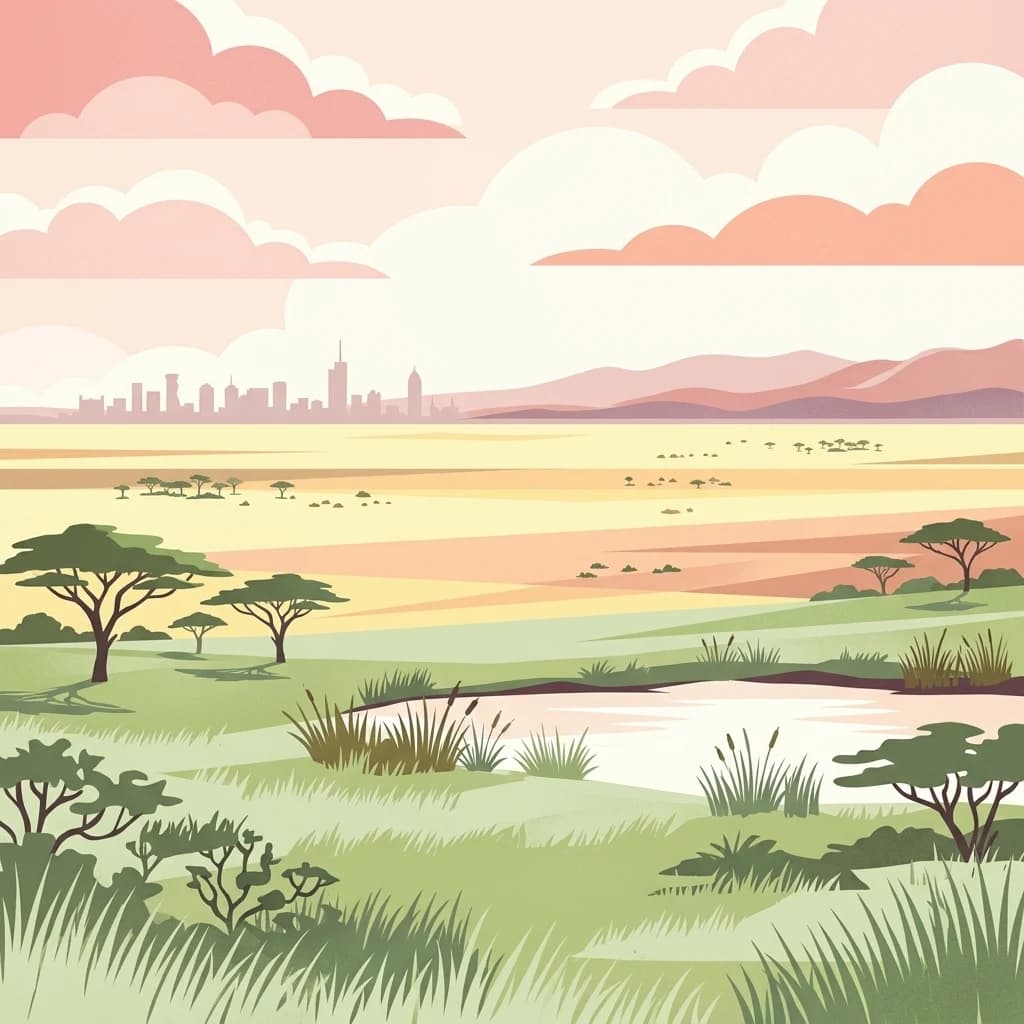
A stylized vector illustration of an African savanna with acacia trees and a small pond in the foreground, with the distant city skyline of Nairobi on the horizon under a pastel sunset sky.

Kenya's first national park, a savanna wilderness on the doorstep of a major city

Nairobi National Park

Nairobi National Park is Kenya's oldest national park, established in 1946 and located approximately seven kilometers south of Nairobi's city center. This 117-square-kilometer protected area represents a remarkable example of wilderness existing alongside a modern urban environment. The park sits at an elevation between 1,533 and 1,760 meters above sea level, characterized by a dry climate and open savanna landscapes. Unlike many national parks that remain isolated from human settlement, Nairobi National Park is bounded by electric fencing on its northern, eastern, and western sides, while its southern boundary remains open to the Kitengela Conservation Area and the broader Athi-Kapiti plains. This open boundary allows migrating wildlife to move between the park and adjacent grasslands, maintaining ecological connectivity despite the park's relatively small size. The park serves as the northern limit for wildlife migrations and provides crucial dry-season refuge for herbivores that disperse across the Athi-Kapiti ecosystem during wet periods.

Location
Kenya
Park type
National park
Established
1946
Area
117 km²
Nairobi National Park Geography

Filter Nairobi National Park events by date and distance

Examine recorded earthquakes in the area of Nairobi National Park

Nairobi National Park covers 117 km² of Kenyan grassland, forest, woodland, valleys, and rivers between 1,533 and 1,760 metres. Its earthquake catalogue supplies dated and located regional evidence with magnitudes, depths, sources, and park-distance calculations, without implying wildlife effects or a present seismic warning.

Sort by
Magnitude
Location

This page describes catalogued earthquakes associated with the park by epicentre location and distance. It does not establish causation, assess current danger, or predict future earthquakes.

No earthquake records match the current filters

Park atlas

Move beyond Nairobi National Park earthquake records

Find other protected destinations after Nairobi National Park

Nairobi National Park covers 117 km² of Kenyan grassland, forest, woodland, valleys, and rivers between 1,533 and 1,760 metres. Continue to related park earthquake pages for their own spatial evidence rather than assuming the destinations share Nairobi’s terrain, wildlife exposure, consequences, or risk.
National parkKenya
About 49 km away#1 closest

Northeast

Ol Donyo Sabuk National Park: Kenya's Prominent Highland Volcanic Protected Landscape

Mapped National Park boundaries and montane forest geography.

Ol Donyo Sabuk National Park represents a vital protected natural area situated in Kenya's central highlands. Its landscape is dominated by a striking volcanic peak, offering a unique montane forest environment and significant primate habitat. This entry provides essential details for atlas exploration, focusing on the park's geographic placement, its protected landscape features, and the ecological context it represents within Kenya's protected areas system.

IUCN
II
Relief
Mountain
Scope
Terrestrial
Water
Minor water
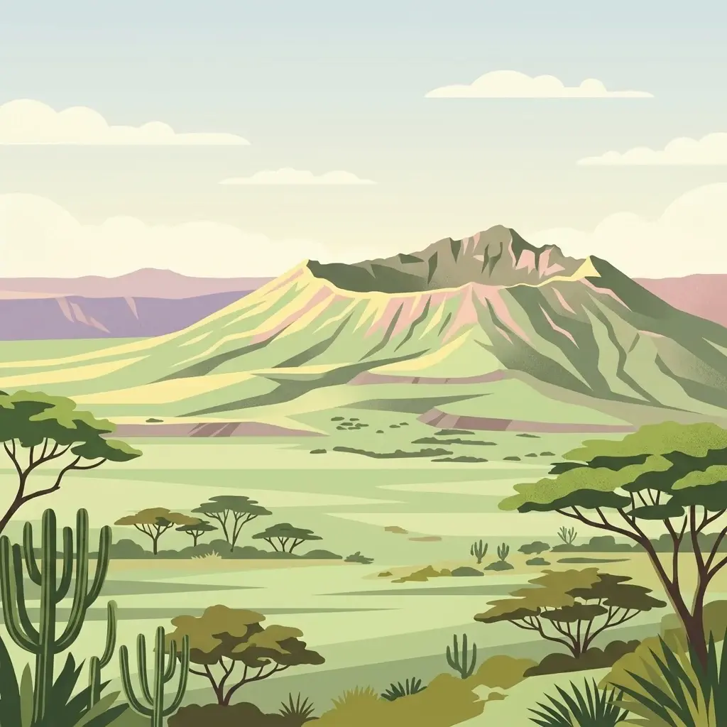
A stylized flat illustration of a dormant volcanic mountain with a large crater at its peak, set in a savanna landscape with acacia trees and cacti in the foreground.
National parkKenya
About 59 km away#2 closest

Northwest

Mount Longonot National Park: Kenya's Mapped Protected Landscape for Atlas Exploration

Discover the natural terrain and park boundaries.

Mount Longonot National Park serves as a vital protected area within Kenya, offering a focused lens for geographical exploration. This national park's defined landscape and mapped boundaries provide essential context for understanding its place in the broader regional geography. Ideal for users seeking detailed information on protected territories, Mount Longonot National Park offers insights into Kenya's natural heritage through an atlas-centric approach.

Scope
Terrestrial
A digital illustration depicting a narrow canyon with tall, layered rock walls and a prominent tower formation in the center, surrounded by sparse green vegetation.
National parkNakuru County
About 69 km away#3 closest

Northwest

Hell's Gate National Park: National Park Atlas and Mapped Landscape Exploration

Discover Nakuru County's protected terrain and geographic context.

Explore the mapped boundaries and unique geographic identity of Hell's Gate National Park, a protected national park within Kenya's Nakuru County. This detailed atlas view focuses on the park's natural landscape and its place within the regional geography, offering structured discovery of its protected terrain and surrounding context. Understand the visual and geographic essence of this significant conservation area.

Area
68.25 km²
Established
1984
IUCN
II
Relief
Mountain
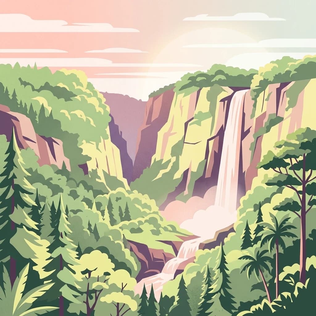
An illustrative style digital painting showing a waterfall plunging from high cliffs into a forested valley during sunrise or sunset.
National parkNyeri County
About 100 km away#4 closest

North

Aberdare National Park: Mapped Protected Landscape in Nyeri County

National Park Geography and Atlas Context

Aberdare National Park is a protected national park located within Nyeri County, Kenya. This entry offers detailed geographic information and map context, highlighting its protected boundaries and landscape characteristics. Users can explore its regional setting, understand its specific terrain features, and discover its significance as a conservation area within the Kenyan geography. Access structured data that clarifies the park's identity as a vital protected landscape.

Area
767 km²
Established
1950
IUCN
II
Relief
Mountain
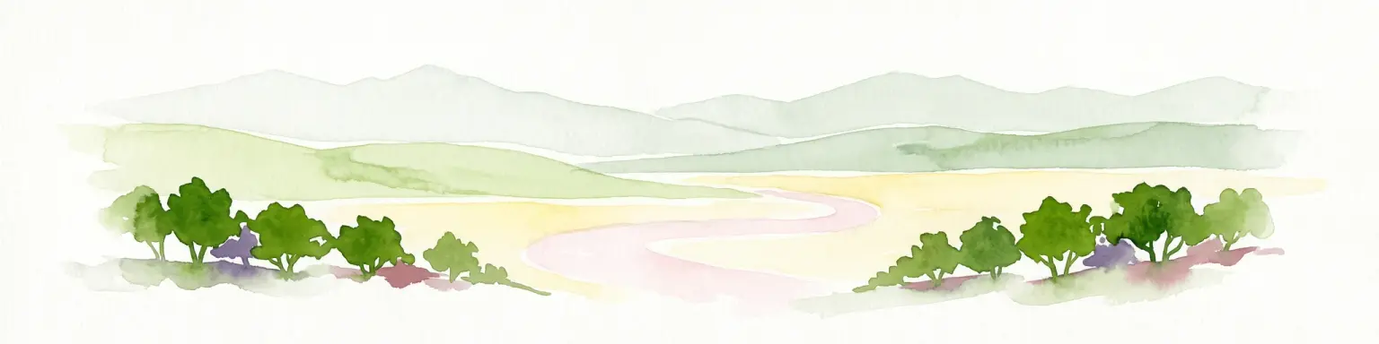
A soft watercolor illustration depicting a pale yellow lake shore with green trees in the foreground and rolling hills in the background.
National parkKenya
120 km away#5 closest

Northwest

Lake Nakuru National Park

Geographic boundaries, terrain analysis, and ecosystem context.

Lake Nakuru National Park, in Kenya. Landscapes: lakes, wetlands, and grasslands.

Area
188 km²
Established
1961
IUCN
II
Relief
Lowland
A digital illustration of a savanna with two large acacia trees framing a winding river that flows through a grassy plain toward distant low mountains under a soft sunset sky.
National parkKenya
About 139 km away#6 closest

South

Amboseli National Park

Mapped geographic context and protected area boundaries.

Amboseli National Park, in Kenya. Landscapes: wetlands, lakes, and grasslands.

Area
392 km²
Established
1974
IUCN
II
Visitors
120K annual
A digital illustration of a mountainous landscape with jagged peaks in the background, a central lake, and foreground vegetation including bamboo stalks and rosette-shaped alpine plants.
National parkKenya
About 144 km away#7 closest

North

Mount Kenya National Park

Kenya's high-altitude Afro-alpine ecosystems and mapped park boundaries.

Mount Kenya National Park, in Kenya. Landscapes: mountains, forests, and rivers.

Area
715 km²
Established
1949
IUCN
II
Relief
Mountain
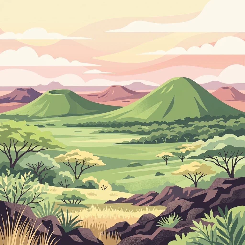
A digital illustration showing a volcanic landscape with green, cone-shaped hills under a soft pastel sky, with savanna plains and scattered acacia-like trees in the foreground.
National parkKenya
About 166 km away#8 closest

Southeast

Chyulu Hills National Park: A Protected Landscape in Kenya's Geography

Explore its mapped boundaries and regional park context.

Delve into the protected lands of Chyulu Hills National Park, a key national park situated within Kenya's expansive geographic tapestry. This resource provides detailed insights into the park's mapped boundaries, its specific terrain characteristics, and its overall contribution to the regional atlas. Understand its role as a protected area contributing to the diverse natural landscapes of East Africa.

Relief
Mountain
Access
Access unknown
Scope
Terrestrial
MoriAtlas Explorer

Nairobi National Park

Explore the map, landscapes, and protection details for Nairobi National Park.

Global natural geography