
Lakes
Park geography
Structured data covering boundary dimensions, land area, and internal geological features
Geographic Profile of Pali-Aike National Park in the Magallanes Region of Chile
Examine the technical geography and physical landscape of Pali-Aike National Park. This profile details the 50.3 square kilometer land area, boundary measurements, and internal volcanic features including craters, caves, and peaks situated within the Magallanes Region.
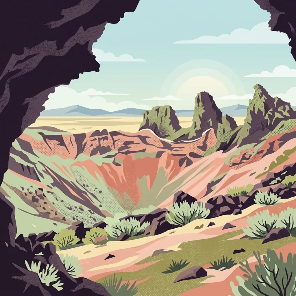
Volcanic landscapes and 11,000-year-old archaeological significance in Patagonian Chile
Pali-Aike National Park
Pali-Aike National Park is a protected area in the Magallanes Region of Chilean Patagonia, situated in the far south of Chile near the city of Punta Arenas. The park covers approximately 5,030 hectares of dramatic volcanic terrain that forms part of the larger Pali-Aike Volcanic Field. The name Pali-Aike derives from the Tehuelche language, translating to Desolate Place, an apt description for this windswept and rugged landscape of southern Patagonia. Established in 1970 and managed by Chile's National Forest Corporation, the park encompasses a prominent volcanic cone known as the Pali Aike Crater, which serves as both a geological landmark and a significant archaeological site. The protected area supports native flora and fauna, with some species found nowhere else on Earth, thriving among ancient lava flows and rocky formations that date back roughly 1,000 years.
- Location
- Chile
- Park type
- National park
- Established
- 1970
- Area
- 50.3 km²
Location overview
Protected landscape records for Chile and the Magallanes Region
Pali-Aike National Park Geographic Location and Regional Context
Pali-Aike National Park is located within Chile as part of the regional footprint of the Magallanes Region. Geographic profiles define the reserve as a mainland protected area without transboundary or marine classifications.
- Countries
- Chile
- Regions
- Magallanes Region
- Primary location
- Chile
Boundary and coordinates
Pali-Aike’s outline maps 50.3 km² of recorded land
Pali-Aike National Park mapped boundary and 50.3 km² land area
Pali-Aike National Park has mapped geometry for a 50.3 km² extent recorded entirely as land. Its outline communicates the park’s spatial form for atlas reference without representing an authoritative survey.
- Boundary area
- 51.9 km²
- Boundary perimeter
- 36 km
- Northernmost point
- 52.0546° S
- Southernmost point
- 52.1328° S
- Easternmost point
- 69.6245° W
- Westernmost point
- 69.8151° W
- Geographic centre
- 52.1022° S, 69.7344° W
- North–south span
- 8.7 km
- East–west span
- 13.1 km
Terrain and natural features
Upland terrain classifications and recorded natural features
Pali-Aike National Park Terrain and Named Natural Features
Upland relief classifications define the protected landscape across Pali-Aike National Park alongside recorded peaks, lakes, and geological formations. Linked feature cards provide names, types, measurements, and spatial relationships where documented.
Selected named natural features
Viewpoints
Mirador Campo de Conos y Lavas Basálticas
Geological formations
Pozos del Diablo
Viewpoints
Morada del Diablo
Cave entrances
Cueva Pali Aike
Geological formations
Crater Morada del Diablo
Environmental setting
Interpreting upland relief features, volcanic formations, and rocky terrain
Pali-Aike National Park Environmental Classifications and Relief Settings
Recorded landscape features and upland relief classifications provide complementary methods for reading the physical terrain of Pali-Aike National Park. These structured categories connect directly to corresponding atlas records across related protected regions.
- Relief
- Upland
- Water
- No major water
Landscape features
Volcano · Cave · Cliffs
Park atlas
Explore the broader protected-area geography of Chilean Patagonia, revealing landscapes similar to Pali-Aike National Park.
Compare Pali-Aike National Park with Nearby Protected Areas in Chilean Patagonia
After exploring Pali-Aike National Park, continue your geographic discovery by browsing other national parks and protected areas across Chilean Patagonia, comparing their volcanic terrain and archaeological significance. Trace the regional spread of conservation landscapes and mapped park geography to find your next protected area to research.

National parkMagallanes and Chilean Antártica Region
166 km away#1 closest
West

Kawésqar National Park: A National Park with Distinct Protected Landscape Identity
Explore the mapped geography and protected area boundaries.
Kawésqar National Park is a key national park entity situated within the Magallanes and Chilean Antártica Region, contributing to the protected landscape of southern Chile. This atlas-focused profile details the park's geographic scope and its significance as a designated protected area. It serves as an entry point for understanding the mapped terrain and regional park context, crucial for structured geographic discovery.
- Area
- 28,425.3 km²
- Established
- 1969
- IUCN
- IV
- Visitors
- 1.7K annual

National parkArgentina
181 km away#2 closest
North

Monte León National Park: Patagonia's First Continental Marine Protected Area and Coastal Atlas
Explore its unique sandstone formations and rich marine geography.
Monte León National Park stands as a significant federal protected area along Argentina's Patagonian coast. Known for its dramatic sandstone cliffs, including the iconic Monte Cabeza de León, and extensive Magellanic penguin colonies, this park offers a unique glimpse into coastal ecosystems. Its designation as Argentina's first continental marine park highlights its importance for biodiversity and landscape conservation along the southern Argentine Sea shoreline, providing rich context for atlas exploration.
- Area
- 621.68 km²
- Established
- 2004
- IUCN
- II
- Relief
- Upland
National parkMagallanes Region
224 km away#3 closest
Northwest
Torres del Paine National Park: National Park Protected Area Geography
Explore mapped protected landscapes and regional context.
Torres del Paine National Park represents a distinct protected landscape within Chile's Magallanes Region, offering valuable insights for geographic discovery and atlas exploration. This national park's mapped boundaries and unique terrain contribute to a comprehensive understanding of its protected status and environmental context. MoriAtlas provides structured data to explore the park's geography, landscape features, and its role as a vital protected natural area for detailed study.
- Area
- 1,814.14 km²
- Established
- 1959
- IUCN
- II
- Visitors
- 304.9K annual
National parkMagallanes Region
227 km away#4 closest
South
Alberto de Agostini National Park
Explore a protected national park in Chile's Magallanes Region.
Alberto de Agostini National Park, in Chile. Landscapes: mountains, valleys, and cliffs.
- Area
- 14,600 km²
- Established
- 1965
- IUCN
- II
- Relief
- Mountain
National parkAysén del General Carlos Ibáñez del Campo Region
237 km away#5 closest
Northwest
Bernardo O'Higgins National Park
Chile's largest protected area: a map of vast ice caps and fjords.
Bernardo O'Higgins National Park, in Aysén del General Carlos Ibáñez del Campo Region, Chile.
- Area
- 35,259 km²
- Established
- 1969
- IUCN
- II
- Visitors
- 36K annual
National parkTierra del Fuego
261 km away#6 closest
South
Yendegaia National Park: A Chilean Protected Landscape within Tierra del Fuego
Mapped geographic context and protected area discovery.
Yendegaia National Park in Tierra del Fuego, Chile, stands as a distinct protected area offering valuable insights into regional geography and landscape. This page serves as a focused entry point for understanding the park's mapped boundaries and its significance as a national park. Delve into the specific geography and protected natural landscape that defines Yendegaia National Park within the broader South American atlas context.
- Area
- 1,506.12 km²
- Established
- 2013
- IUCN
- II
- Relief
- Mountain
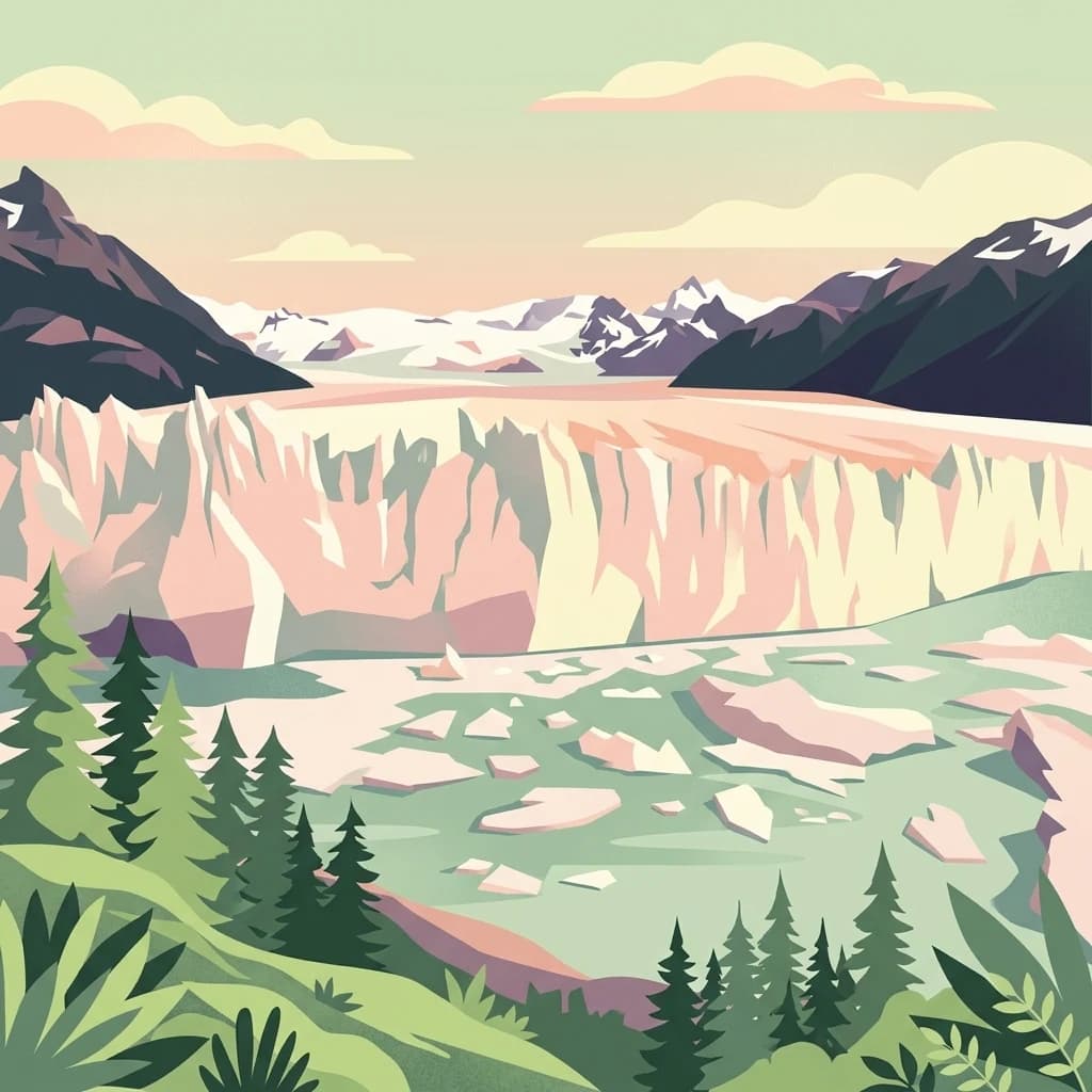
National parkArgentina
264 km away#7 closest
Northwest
Los Glaciares National Park
Explore glacial terrain and iconic Andes peaks.
Los Glaciares National Park, in Argentina. Landscapes: glaciers, mountains, and grasslands.
- Area
- 7,269.27 km²
- Established
- 1937
- IUCN
- II
- Visitors
- 688.8K annual
National parkArgentina
266 km away#8 closest
South
Tierra del Fuego National Park: Southernmost Argentinian National Park and Protected Landscape
Explore the mapped terrain and subantarctic geography of this vital protected area.
Tierra del Fuego National Park, located at the southern tip of South America, provides a crucial atlas perspective on subantarctic ecosystems. This protected national park encompasses dramatic glacial valleys, rugged mountain ranges, ancient beech forests, and a significant coastal area along the Beagle Channel. Its unique landscape, accessible from Ushuaia, offers rich opportunities for understanding regional geography and the distribution of protected lands at the continent's edge.
- Area
- 630 km²
- Established
- 1960
- IUCN
- II
- Relief
- Mountain
MoriAtlas Explorer
Continue Exploring Pali-Aike National Park's Geographic Identity
Deepen your understanding of Pali-Aike National Park's role within Chile's geography. Investigate its mapped terrain and protected-area context to gain a comprehensive view of this significant natural landscape. Continue your atlas exploration to discover the unique characteristics that define this Chilean national park.
Browse next
Global natural geography
Explore related park routes
Explore MoriAtlas Global ParksBrowse All MoriAtlas ParksGlobal Park Map DiscoveryMoriAtlas: Browse All CountriesBrowse All MoriAtlas ContinentsNational Park Environment AtlasGrand Canyon National Park AtlasYellowstone National Park AtlasYosemite National Park Atlas and GeographySerengeti National Park AtlasGalápagos National Park Protected LandscapeBanff National Park Geography and AtlasKruger National Park Atlas EntryExplore Uluru-Kata Tjuta National Park GeographyPlitvice Lakes National Park AtlasFiordland National Park Protected LandscapeGreat Smoky Mountains National Park AtlasZion National Park Protected Landscape AtlasAfghanistan National Parks and Protected AreasAlbania National Parks and Protected AreasAlgeria National Parks and Protected AreasAmerican Samoa National Parks and Protected AreasAndorra National Parks and Protected AreasAngola National Parks and Protected AreasAntarctica National Parks and Protected AreasAntigua and Barbuda Park List