Mori Atlas logo
Park earthquake history

Review documented seismic events by date, depth, magnitude, and distance to park boundaries.

Recorded Earthquake History and Seismic Activity Near Pan de Azúcar National Park in Chile

Access a structured collection of historical earthquake records identified within the geographic proximity of Pan de Azúcar National Park. This catalogue provides direct access to event details including timing, epicentre coordinates, and magnitude data for research and landscape context. Each entry utilizes distance-based association to map seismic history across the coastal desert and mountain terrain of this Chilean protected area.

Related tags

Coastal DesertHumboldt PenguinsCactus ConservationIsland EcosystemsMarine Mammals

Coastal desert park with fog-sustained ecosystems and Humboldt penguin nesting colonies

Pan de Azúcar National Park

Pan de Azúcar National Park is a protected area in northern Chile that straddles the border between the Antofagasta Region and the Atacama Region. The park derives its name from the Spanish phrase for sugar loaf, referring to the distinctive profile of its islands and coastal formations. Established in 1985, the park encompasses approximately 438 square kilometers of coastal desert and steppe environments, making it one of the more ecologically diverse protected areas in Chile's arid north. The park's significance stems from its unique blend of marine and terrestrial ecosystems, where coastal fog (known locally as camanchaca) provides essential moisture that supports vegetation and wildlife in an otherwise rainless desert environment. The park includes Isla Pan de Azúcar, an offshore island that serves as a critical breeding ground for Humboldt penguins.

Location
Chile
Park type
National park
Established
1985
Area
437.5 km²
Pan de Azúcar National Park Protected Landscape

Search Pan de Azúcar National Park records by distance

Review historical earthquakes near Pan de Azúcar National Park

Study historical earthquake entries around Pan de Azúcar National Park, a 438 km² protected area in Chile with mixed land-and-water scope; the search preserves event coordinates, timing, magnitude, depth, reported locality, source, and distance from the park. It offers a geographic comparison across the coastal setting without asserting boundary inclusion, ecological cause, present danger, or future activity.

Sort by
Magnitude
Location

This page describes catalogued earthquakes associated with the park by epicentre location and distance. It does not establish causation, assess current danger, or predict future earthquakes.

No earthquake records match the current filters

Park atlas

Explore beyond Pan de Azúcar National Park earthquake data

Continue to more protected places from Pan de Azúcar National Park

Pan de Azúcar National Park’s 437.54 km² mixed Chilean landscape joins arid mountains, valleys, cliffs, desert, beaches, islands, and coast. Related park links widen the earthquake atlas beyond this source area, but each destination’s event evidence stands alone and should not inherit assumptions about desert-coast geology, effects, hazard, or recurrence.
National parkAntofagasta Region
156 km away#1 closest

Northeast

Llullaillaco National Park: Mapped Volcanic Terrain and Protected Andean Landscape

Explore the high-altitude desert ecosystem and national park boundaries.

Llullaillaco National Park is a significant protected area in the Antofagasta Region, characterized by its striking volcanic landscape and high-altitude desert environment. The park's geography includes the towering Llullaillaco volcano, ancient ravines, and expansive semi-desert plains, forming a unique segment of the Central Andean dry puna ecoregion. Discover the mapped terrain and protected area context of this remarkable Chilean national park, offering insights into its arid-adapted biodiversity and geological significance.

Area
2,687 km²
IUCN
II
Relief
Mountain
Climate
Arid
National parkAtacama Region
159 km away#2 closest

Southeast

Nevado Tres Cruces National Park: National Park in Atacama Region's Mapped Geography

Explore protected landscapes and regional park context.

Nevado Tres Cruces National Park is a significant protected national park situated within the Atacama Region of Chile. This entry provides essential geographic context, detailing the park's mapped boundaries and its contribution to the region's conservation landscape. Understand its place within the broader atlas of protected areas, focusing on the natural terrain and the distinct geography that characterize this important national park.

Area
591 km²
IUCN
II
Relief
Mountain
Climate
Alpine
National parkAtacama Region
203 km away#3 closest

South

Llanos de Challe National Park: Unique Coastal Desert and Lomas Ecosystem

Atacama Region National Park with Dramatic Terrain and Wildlife

Llanos de Challe National Park presents a rare protected coastal desert environment within the Atacama Region. Its unique lomas ecosystem, sustained by coastal fog, supports a surprising diversity of life. The park encompasses striking geographic features, from unspoiled white-sand beaches to rugged mountainous terrain, offering a clear example of a vital protected landscape with significant guanaco populations and unique flora, all mapped within its regional context.

IUCN
II
Relief
Mixed relief
Climate
Arid
Scope
Mixed
National parkAntofagasta Region
261 km away#4 closest

North

Morro Moreno National Park National Park: Mapped Landscape and Regional Geography in Antofagasta

Explore its protected boundaries and arid terrain.

Morro Moreno National Park represents a vital protected area within the northern Chilean landscape of the Antofagasta Region. This national park serves as a focal point for understanding the specific geography and mapped terrain characteristic of this arid zone. By examining Morro Moreno National Park, users gain insight into the distribution of protected lands and the unique natural context it provides for regional geographic study.

Area
73.14 km²
Established
2010
IUCN
II
Relief
Upland
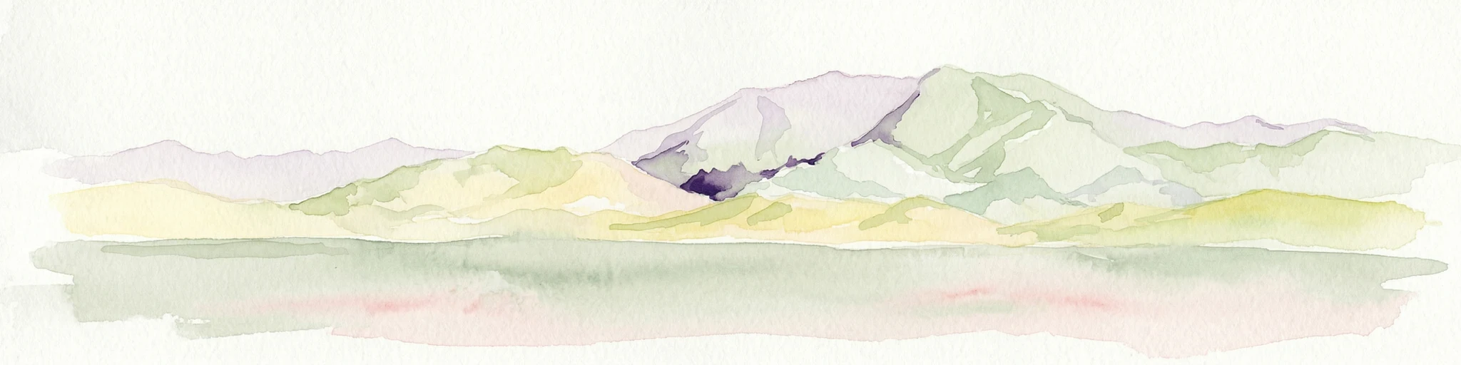
Watercolor illustration of mountain ranges with green and yellow hills, a central dark peak, and pinkish foreground
National parkArgentina
323 km away#5 closest

South

San Guillermo National Park: High Andes Protected Landscape & Vicuña Conservation Area

Explore its rugged terrain and arid mountain ecosystem.

San Guillermo National Park, a key national park in Argentina's San Juan Province, protects over 166,000 hectares of high-altitude Andean wilderness. Its landscape is defined by arid mountain ranges and expansive puna grasslands, serving as a critical sanctuary for vicuñas and other high-Andean wildlife. This page offers detailed geographic context for understanding the park's protected boundaries, unique terrain, and its importance as a mapped conservation area.

Area
1,660 km²
Established
1998
IUCN
II
Relief
Mountain
A soft watercolor painting depicting a wide, pale landscape with rolling hills, a central body of water with pinkish tones, and muted green vegetation.
Wildlife reservePotosí
437 km away#6 closest

Northeast

Reserva nacional de fauna andina Eduardo Abaroa: Protected Area and Andean Terrain Map

High-altitude volcanic landscapes and flamingo wetlands in Potosí, Bolivia.

The Reserva nacional de fauna andina Eduardo Abaroa represents one of the most distinctive protected landscapes in the Andes. Spanning across the Altiplano, the terrain encompasses geothermal geyser fields at Sol de Mañana, dramatic volcanic summits like Licancabur, and specialized mineral lagoons. This protected area offers a look at extreme environmental adaptation, where high-altitude desert formations meet rare, nutrient-rich wetlands that sustain significant populations of Andean, James's, and Chilean flamingos.

Area
7,147.45 km²
Established
1973
IUCN
IV
Visitors
152.9K annual
National parkLa Rioja Province
442 km away#7 closest

Southeast

Talampaya National Park: Argentinian National Park with Dramatic Desert Canyons

Explore protected landscape and mapped geography in La Rioja Province.

Talampaya National Park, a significant national park in Argentina's La Rioja Province, offers a profound exploration of a dramatic desert canyon environment. This protected area is renowned for its rich paleontological sites, yielding crucial dinosaur fossils, and for its well-preserved indigenous petroglyphs carved into ancient rock formations. Understanding Talampaya National Park provides vital context for the region's geography and its place within Argentinian protected lands and mapped natural landscapes.

Area
2,150 km²
Established
1997
IUCN
II
Relief
Mountain
National parkTucumán Province
453 km away#8 closest

East

Aconquija National Park: Southern Andean Yungas Protected Landscape in Tucumán Province

Explore its montane forest and mapped geographic context.

Aconquija National Park is a significant federal protected area located in Tucumán Province, Argentina. This national park is dedicated to conserving the diverse Southern Andean Yungas montane forest ecosystem, characterized by a dramatic elevational gradient. Its landscapes transition from cloud forest to high alpine terrain, offering a unique opportunity to study and appreciate a well-preserved montane environment within a critical geographic region. Discover the mapped extent and ecological importance of this protected area.

Area
700 km²
Established
1995
IUCN
II
Relief
Mountain
MoriAtlas Explorer

Continue Exploring Pan de Azúcar National Park's Geography and Mapped Terrain

Delve deeper into the protected landscape of Pan de Azúcar National Park. Understanding its specific geography, mapped features, and regional context enriches your atlas exploration. This resource provides the structured details needed to grasp the park's unique natural identity and its significance as a conservation area in South America.