Mori Atlas logo
Park earthquake history

Review recorded earthquake epicentres, event magnitudes, and depths within the regional landscape.

Historical Earthquake Records and Seismic Activity Catalogue for Pollino National Park

This archive presents a structured catalogue of recorded earthquake events associated with the geographic coordinates of Pollino National Park. Explore historical data including event dates, magnitude readings, and seismic depth metrics derived from geological monitoring sources. Every entry provides context on proximity to the park boundaries, offering an objective perspective on the region's recorded seismic history without assessing future potential or local hazard risks.

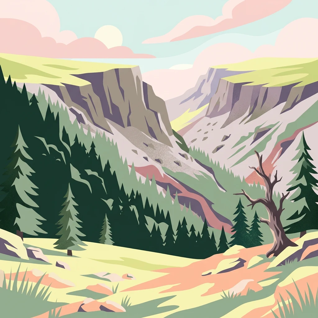
Illustration of a mountain valley with forested slopes, rocky cliffs, a bare tree, and colorful sky

Italy's largest national park spanning the dramatic Pollino massif between Basilicata and Calabria

Pollino National Park

Pollino National Park is Italy's largest national park, encompassing over 1,925 square kilometers of rugged mountain terrain in the southern Italian peninsula. The park spans the border region between Basilicata and Calabria, protecting the spectacular Pollino mountain massif and its surrounding landscapes. Established in 1993, this vast protected area represents one of the most significant natural heritage sites in southern Europe, preserving unique ecosystems that harbor extraordinary biodiversity and geological features of international importance. The park's landscape is characterized by dramatic limestone peaks exceeding 2,200 meters, deep river gorges, ancient beech forests, and rare pine species adapted to harsh alpine conditions. In November 2015, the entire park gained UNESCO Global Geopark status, recognizing its exceptional geological heritage and making it part of the World Heritage network. The park is home to the oldest known tree in Europe, a Heldreich's pine estimated at 1,230 years old, which has become the living symbol of this remarkable protected landscape.

Location
Italy
Park type
National park
Established
1992
Area
1,925.7 km²
Highest point
2,267 m
Pollino National Park protected landscape

Review Pollino National Park events by date and distance

Investigate historical earthquake records near Pollino National Park

Pollino National Park’s earthquake catalogue maps reported epicentres by calculated distance from its southern Italian boundary, keeping the records distinct from limestone peaks, valleys, ancient forest, and Bosnian pine habitat. Each source record supplies a date, magnitude, depth, locality, and park distance for historical comparison without claiming landscape effects, present danger, or prediction.

Sort by
Magnitude
Location

This page describes catalogued earthquakes associated with the park by epicentre location and distance. It does not establish causation, assess current danger, or predict future earthquakes.

No earthquake records match the current filters

Park atlas

Leave southern Italy's limestone massif for other protected landscapes

Other park profiles after Pollino National Park’s ancient-forest context

Pollino National Park's earthquake catalogue concludes within Italy's largest national park, spanning rugged peaks between Basilicata and Calabria. The next destinations stand independently and are not proposed as mountain analogues, nearby sites, or places with the same designation, geology, seismic behaviour, risk profile, biodiversity, or evidence base.
Watercolor illustration showing a landscape with mountains, green forests, and a river under a soft sky
National parkBasilicata
Park boundaries overlap#1 closest

Northwest

Appennino Lucano - Val d'Agri - Lagonegrese National Park: Protected Mountain Landscape in Basilicata, Italy

Explore its geography, mapped terrain, and ecological role.

Gain insight into Appennino Lucano - Val d'Agri - Lagonegrese National Park, a significant protected mountain landscape in the heart of Basilicata. This detailed page focuses on the park's distinct geographic features, its role as a crucial ecological corridor connecting major southern Italian protected areas, and the mapped contours of its diverse terrain. Understand its place within the Lucano Apennine range and the broader natural atlas of Italy.

Area
689.96 km²
Established
2007
IUCN
II
Relief
Mountain
Watercolor painting showing mountains, a lake, and grassy fields
National parkItaly
23 km away#2 closest

Northwest

Cilento, Vallo di Diano and Alburni National Park: An Italian National Park's Geographic and Protected Landscape Identity

Mapped protected area boundaries and regional context.

Delve into the core geographic and protected-area characteristics of Cilento, Vallo di Diano and Alburni National Park. As a designated National Park in Italy, its mapped boundaries and landscape context are essential for atlas exploration. This entry provides the foundational geographic understanding needed to place this protected land within a broader map-based discovery framework, highlighting its significance as a natural landscape.

Area
1,810.48 km²
Established
1991
IUCN
II
Relief
Mountain
Watercolor illustration of a lake surrounded by green landscape with mountains in the background
National parkCalabria
33 km away#3 closest

Southeast

Sila National Park: Protected Landscape and Geographic Context in Calabria

Explore its mapped boundaries and regional natural area.

Sila National Park represents a vital protected landscape within the Calabria region, situated in southern Italy. This page details its specific geographic features and mapped park boundaries, offering a focused view of its place within the broader Italian atlas. Understanding Sila National Park provides insight into the region's natural terrain and the distribution of its protected lands, serving as a key point for geographic discovery.

Area
736.95 km²
Established
2002
IUCN
II
Relief
Mixed relief
Watercolor illustration showing green grasslands, distant hills, and a winding path under a light sky
National parkItaly
72 km away#4 closest

North

Alta Murgia National Park: National Park Exploration and Protected Landscape Context

Explore mapped terrain and regional geography.

Alta Murgia National Park is a designated national park offering unique opportunities for geographic discovery. Delve into its protected landscape, understand its mapped boundaries, and situate it within the broader Italian atlas. This entry provides essential context for exploring the park's terrain and regional significance.

Area
677.39 km²
Established
2004
IUCN
II
Relief
Mixed relief
Watercolor illustration of a mountainous landscape featuring a winding river, trees, and grass.
National parkCalabria
134 km away#5 closest

South

Aspromonte National Park: A Protected National Park within Calabria's Geographic Atlas

Explore its mapped terrain and regional landscape context.

Aspromonte National Park represents a crucial element within the protected landscapes of the Calabria region. This page serves as an in-depth atlas entry, detailing the park's geographic features and its specific context within southern Italy's broader natural terrain. Users can explore the park's mapped boundaries and understand its significance as a protected area within the Italian peninsula's rich geography.

Area
641.53 km²
Established
1989
IUCN
II
Relief
Mountain
Watercolor illustration of a mountainous landscape with green hills, a valley with a river, and distant mountains under a pink and yellow sky
National parkCampania
144 km away#6 closest

Northwest

Vesuvius National Park: Protected Volcanic Landscape in Campania, Italy

Explore mapped boundaries and regional geography.

Discover Vesuvius National Park, a vital protected area safeguarding Italy's iconic active volcano. This page provides essential geographic context, detailed mapped terrain, and insights into the park's unique volcanic landscape within the Campania region. It serves as a key entry point for understanding the park's protected status and its geological significance for structured atlas exploration.

Area
72.59 km²
Established
1995
IUCN
II
Relief
Mountain
Watercolor illustration of a tree, green hills, and distant water view
National parkApulia
146 km away#7 closest

North

Gargano National Park: Apulia's Protected Landscape and Regional Geographic Context

Mapped boundaries and natural terrain of a key Italian national park.

Delve into Gargano National Park, a designated national park situated in the Apulia region of Italy. This protected landscape offers valuable insights into the geography of the Gargano promontory. Through MoriAtlas, users can explore its mapped boundaries, understand its terrain, and connect it to the broader regional geography of southern Italy, providing a solid foundation for protected-area discovery.

Area
1,181.44 km²
Established
1991
IUCN
II
Relief
Mixed relief
A wide panoramic watercolor painting showing a landscape with a body of water in the foreground, green grasses and trees on the banks, and layers of purple and pink hills in the distance under a pale sky.
Nature reserveAbruzzo
About 238 km away#8 closest

Northwest

Riserva naturale regionale Marina di Vasto: Coastal Nature Reserve in Abruzzo, Italy

Mapping protected Adriatic dune and wetland ecosystems

This nature reserve protects a vital 3-kilometer strip of the Adriatic coastline in Abruzzo, acting as a rare sanctuary for specialized flora and fauna. By managing a delicate ecotone of shifting sand dunes and brackish wetland basins, the area maintains a high degree of ecological significance within the regional landscape. The geography provides an important look at integrated coastal conservation at the meeting point of urbanized hinterlands and the Adriatic sea.

Area
0.57 km²
Established
2007
Relief
Lowland
Climate
Mediterranean
MoriAtlas Explorer

Continue Exploring Pollino National Park's Geographic and Landscape Context

Deepen your understanding of Pollino National Park by navigating its specific geographic features, mapped boundaries, and unique alpine terrain. As Italy's largest national park and a UNESCO Global Geopark, it offers invaluable insights into protected area distribution and regional landscape patterns within southern Italy. Use this gateway to further explore the park's distinct natural heritage and its place within the broader geographical atlas.