Mori Atlas logo
Protected landscapePutna-Vrancea Natural Park

Discover the mapped geography and protected boundaries of this dramatic Romanian natural park.

Putna-Vrancea Natural Park: Protected Landscape in the Carpathian Mountains of Vrancea County

(Parcul Natural Putna-Vrancea)

Putna-Vrancea Natural Park represents a significant protected landscape within the Vrancea Mountains of Romania's Vrancea County. Encompassing the Putna River basin and notable massifs like Goru and Mordanu, this natural park showcases complex Carpathian terrain. Explore its mapped boundaries and understand its geographic context within the Eastern Carpathians, offering a rich atlas-based view of this protected area.

Carpathian MountainsProtected LandscapeNature ParkNatura 2000Mountain ForestsEastern Carpathians

Putna-Vrancea Natural Park

Protected landscape

Park overview

Structured park overview, official facts, and landscape profile for Putna-Vrancea Natural Park

Putna-Vrancea Natural Park park facts, protected area profile, and essential visitor context
Review the core facts for Putna-Vrancea Natural Park, including designation, size, terrain, visitor scale, habitats, and operating context in one park-focused overview.

About Putna-Vrancea Natural Park

Putna-Vrancea Natural Park is a protected landscape in the Carpathian Mountains of southeastern Romania, situated in the Vrancea Mountains portion of the Eastern Carpathians. The park protects approximately 30,000 hectares of mountainous terrain in the northwestern part of Vrancea County, extending across the administrative territories of Nistorești, Păulești, Soveja, and Tulnici communes. The park's landscape is defined by the Putna River basin, which carved deep valleys and canyons through the mountainous terrain, creating a complex topography of steep-sided valleys, rocky peaks, and cascading water features. The Mordanu and Goru massifs form the park's core mountain formations, rising above the surrounding Carpathian foothills. National Road DN2L traverses the park, connecting Panciu to Lepșa and providing access to this protected mountain landscape. The park was established to preserve the Carpathian ecological character of the region while allowing for sustainable use and environmental education.

Quick facts and research context for Putna-Vrancea Natural Park

Putna-Vrancea Natural Park occupies roughly 30,200 hectares in the Vrancea Mountains of eastern Romania, within Vrancea County near the border with Covasna County. The protected area was established in 2004 and designated as a Category V IUCN protected landscape in 2005. The park centers on the Putna River basin and includes the Goru and Mordanu massifs. It is part of the Putna-Vrancea Natura 2000 site and contains six designated nature reserves. The area features diverse Carpathian landscapes including mountain peaks, deep valleys, rocky crevasses, forest-covered slopes, and alpine pastures.

Park context

Deeper park guide and search-rich context for Putna-Vrancea Natural Park

Putna-Vrancea Natural Park history, landscape, wildlife, and travel context
Explore Putna-Vrancea Natural Park through its history, landscape character, ecosystems, wildlife, conservation priorities, cultural context, and seasonal travel timing in a structured park guide built for atlas discovery and search intent.

Why Putna-Vrancea Natural Park stands out

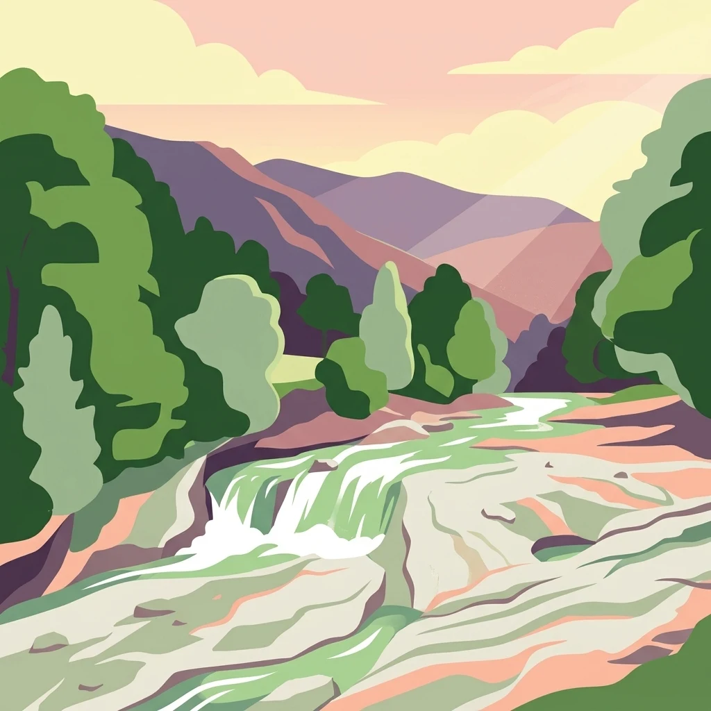
Putna-Vrancea Natural Park is best known for its dramatic Carpathian mountain scenery centered on the Putna River and its cascade, the protection of significant Carpathian biodiversity including large mammals like brown bears, gray wolves, and Eurasian lynx, and the preservation of diverse montane and subalpine habitats. The park encompasses the Putna Waterfall as a notable natural landmark and contains several smaller reserves protecting old-growth forests, rock formations, and river habitats.

Putna-Vrancea Natural Park history and protected-area timeline

Putna-Vrancea Natural Park was declared a protected area through Government Decision Number 2151 of November 30, 2004, with the decision published in the Romanian Official Paper (Monitorul Oficial) Number 38 of January 12, 2005. This legislation established the protected area regime for the park as a natural park corresponding to IUCN Category V, which designates protected landscapes where human activity shapes the natural environment in ways that maintain ecological, cultural, and scenic values. The park was created to provide comprehensive protection for the Carpathian ecosystems of the Vrancea Mountains while integrating conservation with the sustainable management of the Putna River basin. The establishment reflected Romania's broader commitment to building a national network of protected areas and fulfilling European Union environmental commitments, as the park was subsequently incorporated into the Natura 2000 network as the Putna-Vrancea Site of Community Importance.

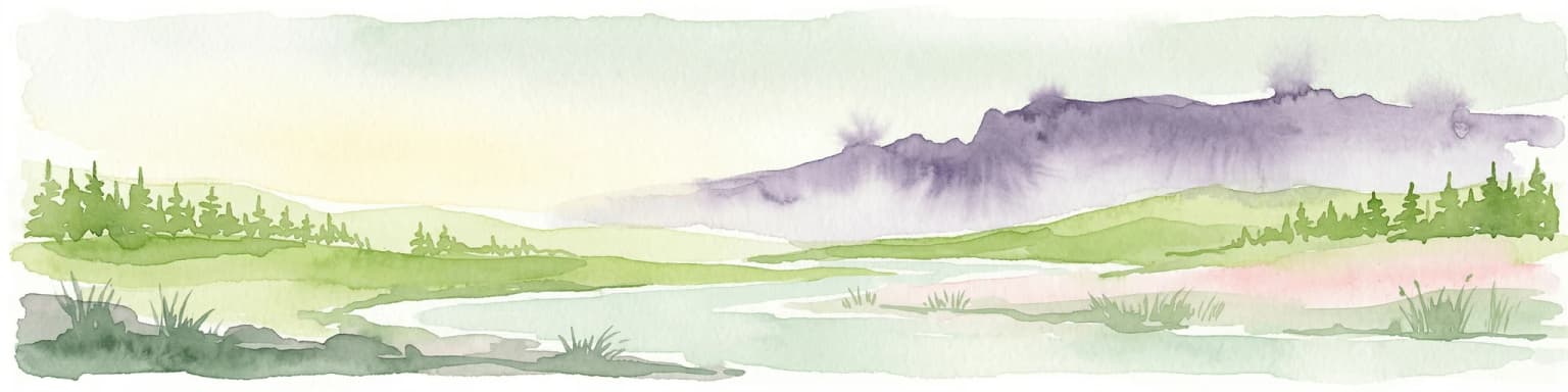
Putna-Vrancea Natural Park landscape and geographic character

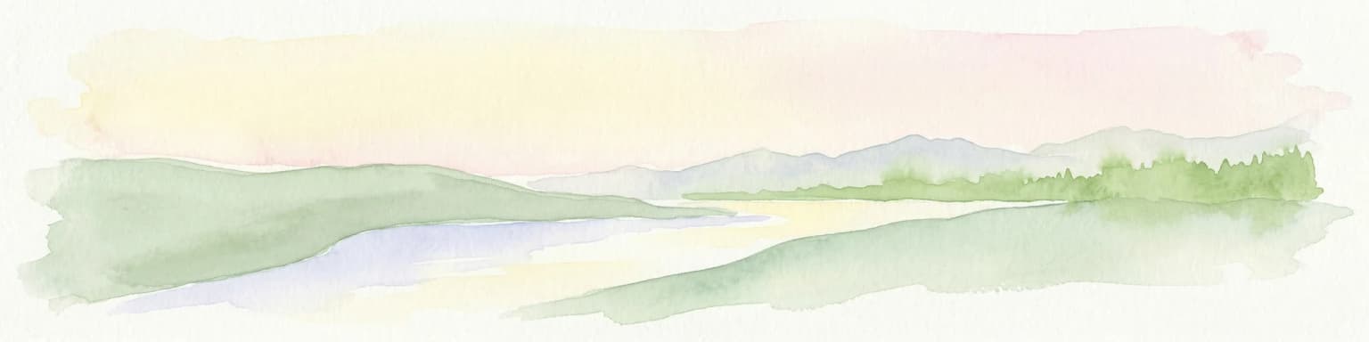
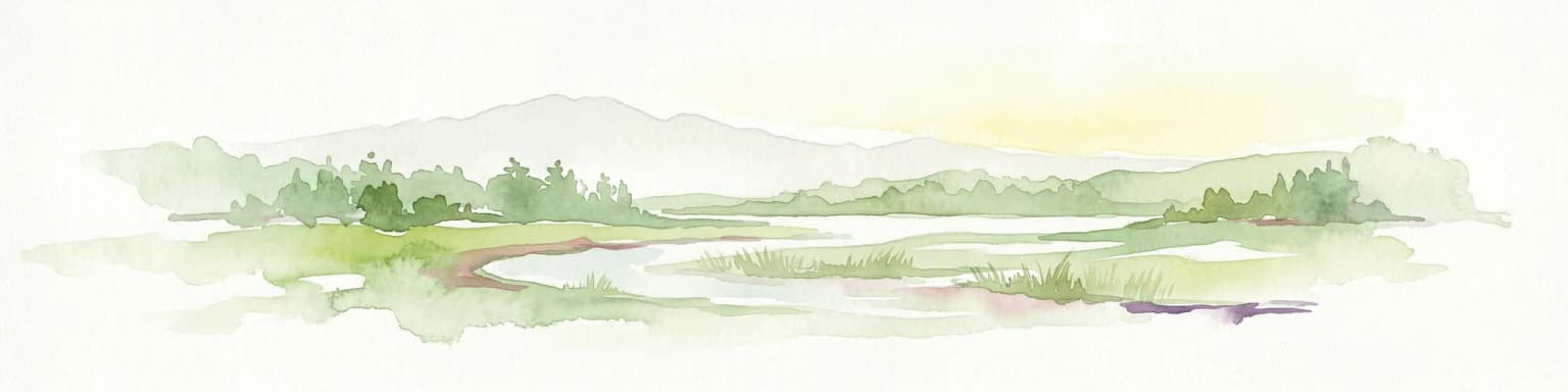
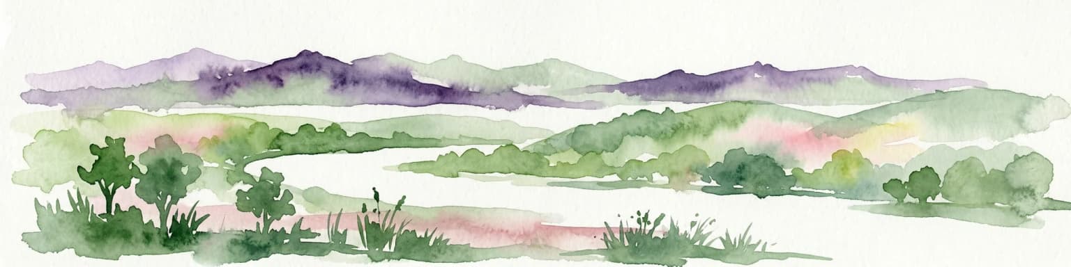
The landscape of Putna-Vrancea Natural Park exemplifies the dramatic mountain terrain of the Carpathians in this region of Romania. The terrain is characterized by steep mountain slopes, deep V-shaped valleys carved by the Putna River and its tributaries, rocky crevasses and cliff faces, and isolated mountain peaks rising above the surrounding terrain. The Putna River flows through the park, descending from higher elevations and creating the notable Putna Waterfall where the river drops over a rocky ledge. The Goru and Mordanu massifs form prominent mountain ridges within the park, their slopes covered in forest and rising to elevations that support subalpine vegetation. The park encompasses a range of elevations from valley floors to mountain summits, creating diverse microclimates and ecological zones. Rock outcrops and boulder fields occur throughout, particularly on steeper slopes and near ridgelines, while meadows and pastures occur in open areas and on slopes above the tree line.

Putna-Vrancea Natural Park ecosystems, habitats, and plant life

The ecological character of Putna-Vrancea Natural Park reflects the Carpathian biogeographical region, with the park protecting fifteen distinct habitat types recognized under European nature conservation frameworks. Montane beech forests dominate the lower and middle slopes, with both Luzulo-Fagetum and Asperulo-Fagetum forest types represented. Higher elevations support spruce-dominated forests of the Vaccinio-Piceetea association, while steep rocky slopes and ravines host mixed forests of the Tilio-Acerion community. Subalpine zones feature shrubland communities dominated by mountain pine (Pinus mugo) and Rhododendron, while alpine meadows occur on siliceous substrates at the highest elevations. The park's river valleys support riparian vegetation including willow communities and herbaceous vegetation along the Putna River and its tributaries. The diversity of habitats, from valley floors to alpine summits, creates a vertically stratified ecosystem that supports remarkable biodiversity across multiple ecological zones.

Putna-Vrancea Natural Park wildlife and species highlights

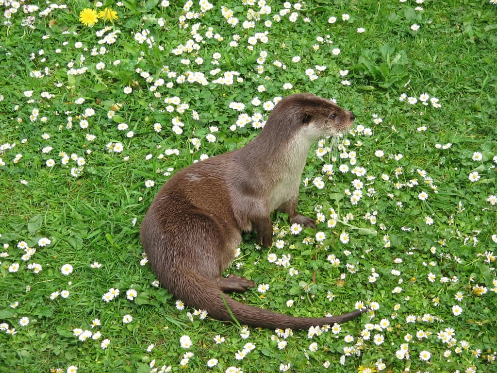
The wildlife of Putna-Vrancea Natural Park represents the Carpathian fauna community, with the park protecting several species of conservation significance at the European level. Large mammals include brown bear (Ursus arctos), gray wolf (Canis lupus), Eurasian lynx (Lynx lynx), roe deer (Capreolus capreolus), and wild boar (Sus scrofa), with the presence of these species reflecting the ecological integrity of the forest and mountain habitats. The river otter (Lutra lutra) inhabits the waterways, while common bats (Myotis myotis) use the forest and cave habitats. Reptile and amphibian species include the field lizard (Lacerta agilis), common viper (Vipera berus), yellow-bellied toad (Bombina variegata), and the Carpathian newt (Triturus montandoni), the latter being a species endemic to the Carpathian region. The park's streams support fish species including the bullhead (Cottus gobio) and Danube goby (Gobio uranoscopus). Several invertebrate species receive protection, including the alpine longhorn beetle (Rosalia alpina), a species listed in the EU Habitats Directive.

Putna-Vrancea Natural Park conservation status and protection priorities

Putna-Vrancea Natural Park serves as a key component of Romania's protected area network and contributes to the European Union's Natura 2000 ecological network through the designated Putna-Vrancea Site of Community Importance. The park protects fifteen types of European Union-listed natural habitats, including beech forests, spruce forests, riparian woodlands, subalpine shrublands, and alpine meadows, all of which receive conservation recognition under the EU Habitats Directive. The protection of these habitats ensures the preservation of the Carpathian ecological character of the region. Several smaller nature reserves within the park provide additional protection for specific natural features, including the Putna Waterfall, the Groapa cu Pini pine reserve, Muntele Goru, the Lepșa-Zboina forest, Strâmtura-Coza, and Valea Tișiței. Many of the species found within the park are protected under national legislation and European directives, including the brown bear, wolf, lynx, otter, and various other mammals, amphibians, and invertebrates.

Putna-Vrancea Natural Park cultural meaning and human context

The Putna-Vrancea region contains historical wooden churches that reflect the traditional architectural heritage of Vrancea County. Several of these churches are located within or adjacent to the park, including the wooden church of the Assumption of the Virgin at Lepșa Monastery, built between 1930 and 1936 and designated as a historical monument. The wooden church of Saint Nicholas at Nistorești dates to the eighteenth century, as does the Saint Nicholas church at Păulești and the Assumption of the Virgin church at Valea Neagră. These wooden churches represent traditional Romanian religious architecture and are part of the cultural landscape of the mountainous Vrancea region. The local communities of Nistorești, Păulești, Soveja, and Tulnici have historically inhabited these mountain valleys, with traditional land use patterns of agriculture, forestry, and pastoral activities shaping the cultural landscape.

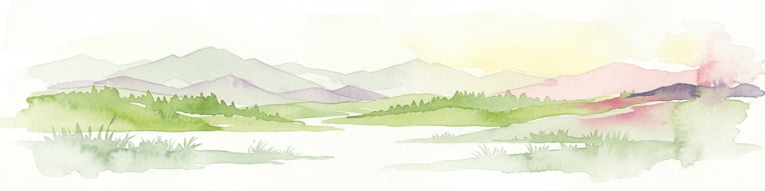
Top sights and standout views in Putna-Vrancea Natural Park

The Putna Waterfall on the Putna River stands as the park's most prominent natural landmark, where the river cascades over a rocky ledge in a forested setting. The diverse Carpathian landscapes range from deep river valleys to mountain peaks, with views across the Vrancea Mountains from higher vantage points. The park's wildlife includes the opportunity to observe large Carpathian mammals including brown bears, wolves, and lynx in their natural habitat. The network of walking trails follows river valleys and climbs to mountain ridges, offering access to the park's scenic landscapes. The old-growth forests of the reserves protect representative Carpathian forest ecosystems, with the subalpine zones and alpine meadows providing contrast to the montane forests below.

Best time to visit Putna-Vrancea Natural Park

The summer months of June through August offer the most accessible conditions for exploring the park's trails and outdoor activities, with warm temperatures in the valleys and mountain meadows in full flower. Spring brings high water levels to the rivers and waterfalls following snowmelt, making the Putna Waterfall particularly impressive in May and early June. Autumn offers colorful forest foliage in the beech and spruce forests, with September and October providing pleasant hiking conditions. Winter access is limited due to snow in the higher elevations, but the park's lower valleys and villages can be visited year-round. The shoulder seasons of spring and autumn often provide the best combination of accessible conditions and fewer visitors.

Park location guide

Geography guide, regional context, and park location map for Putna-Vrancea Natural Park

Putna-Vrancea Natural Park park geography, regions, and map view in Romania
Understand where Putna-Vrancea Natural Park sits in Romania through a broader geographic reading of the surrounding landscape, nearby location context, and its mapped position within the national park landscape.

How Putna-Vrancea Natural Park fits into Romania

Romania is a unitary semi-presidential republic located in Southeast and Central Europe. It borders Ukraine, Hungary, Serbia, Bulgaria, Moldova, and the Black Sea. The country has a population of approximately 19 million and covers an area of 238,397 km². Bucharest is the capital and largest city. Romania joined the European Union in 2007.

Wider geography shaping Putna-Vrancea Natural Park in Romania

Romania lies on the lower course of the Danube River, north of the Balkan Peninsula, and on the northwestern shore of the Black Sea. The terrain is varied, featuring the Carpathian Mountains in the center, the Transylvanian Plateau, the Moldavian Plateau, and plains along the Danube and in the south. The country has a diverse landscape that includes forests, meadows, and wetland areas.

Map view of Putna-Vrancea Natural Park

Use this park location map to pinpoint Putna-Vrancea Natural Park in Romania, understand its exact geographic position, and read its mapped placement within the surrounding landscape more clearly.

Pigeon | © OpenStreetMap contributors

Location context for Putna-Vrancea Natural Park

Vrancea County
Park atlas

Compare the geographic spread of protected areas and mountain ecosystems across Romania's Carpathian range.

Explore Adjacent Protected Areas: Parks Near Putna-Vrancea Natural Park
After exploring Putna-Vrancea Natural Park's dramatic Carpathian landscapes, delve into nearby national parks and protected areas to understand regional conservation. Compare diverse mountain terrains, river ecosystems, and forest reserves, gaining a deeper atlas perspective on Romania's Eastern Carpathians.
Protected landscape

Bucegi Natural Park: Protected Landscape Mapping and Regional Geographic Overview

Explore its mapped boundaries and natural terrain.

As a protected landscape in Romania, Bucegi Natural Park offers a distinct focus for geographic study and atlas exploration. This detail page provides access to its mapped protected boundaries, helping users understand its specific location and regional context. Discover how this natural area contributes to the broader understanding of protected lands within the national geography. MoriAtlas enables a clear view of Bucegi Natural Park's landscape characteristics and its place within a mapped system of natural reserves.

Area
0.327 km²
Established
2000
IUCN
V
Relief
Mountain
National park

Piatra Craiului National Park: Protected Landscape Atlas and Geographic Context

Explore Romania's unique national park and its mapped terrain.

Navigate the protected geography of Piatra Craiului National Park, a key national park entity. This page details its mapped boundaries and situates its natural landscape within Romania's regional geography, offering a structured point of discovery for geographic atlas enthusiasts. Understand the park's identity as a protected natural area and its contribution to the mapped terrain of the region.

Area
147.66 km²
Established
2000
IUCN
II
Relief
Mountain
National park

Cheile Bicazului-Hășmaș National Park: Protected Area Geography and Mapped Landscape Identity

Discover Romania's National Park mapped boundaries and regional context.

Cheile Bicazului-Hășmaș National Park represents a vital component of Romania's protected natural areas, offering rich geographic detail for atlas enthusiasts. This national park's mapped landscape and defined protected boundaries provide essential context for understanding regional geography and conservation efforts. Explore the specific identity of this protected terrain and its significance within the broader Romanian atlas.

Area
65.75 km²
Relief
Mountain
Scope
Mixed
Water
Minor water
Watercolor painting of a river flowing through a wetland with green hills and distant mountains
Protected landscapeGalați County

Lunca Joasă a Prutului Inferior Natural Park: Protected Landscape Atlas and Geographic Context

Explore its wetland terrain and mapped protected area boundaries.

Lunca Joasă a Prutului Inferior Natural Park is a crucial protected landscape within Galați County, Romania, recognized for its extensive wetland ecosystems and role as a vital bird migration hub. This atlas-focused entry details the park's mapped geography, showcasing its complex network of lakes, canals, and floodplains, and its significant habitats that support exceptional biodiversity along major European flyways.

Area
82.47 km²
Established
2005
IUCN
V
Relief
Lowland
Protected landscapeNeamț County

Vânători-Neamț Natural Park: Protected Landscape within Neamț County, Romania

Mapped protected area and regional landscape context.

Vânători-Neamț Natural Park is a designated protected landscape located in Romania's Neamț County. This MoriAtlas entry provides detailed geographic information, focusing on the park's mapped boundaries and its role within the regional atlas of protected natural areas. Understand the park's specific landscape context and its place within the wider geography of Western Moldavia, essential for any structured exploration of Romanian protected lands.

Area
306.31 km²
Established
2003
IUCN
V
Scope
Terrestrial
Watercolor illustration of a wetland landscape with lakes, reeds, and distant mountains under a light sky
Protected landscapeBrăila County

Balta Mică a Brăilei Natural Park: Protected Landscape & Lower Danube Wetland Geography

Discover mapped boundaries and critical waterfowl habitats.

Balta Mică a Brăilei Natural Park is a vital protected landscape located in Brăila County, Romania, recognized for its extensive wetland ecosystems and importance for migratory bird populations. Situated within the Lower Danube floodplain, this park serves as a critical habitat and staging area for waterfowl traveling along major flyways. Its designation as a protected landscape highlights its significance for conservation and offers users a rich opportunity for geographic discovery, focusing on its unique riparian and steppe landscape interface, mapped terrain, and ecological value within the regional context.

Area
175.29 km²
Established
2000
IUCN
V
Relief
Lowland
Protected landscapeMureș County

Defileul Mureșului Superior Natural Park: Protected Landscape Mapping and Geography

Explore Mureș County's premier protected landscape.

Access detailed mapping and geographic context for Defileul Mureșului Superior Natural Park. As a protected landscape situated in Romania's Mureș County, this entity offers crucial insights into regional natural terrain and protected area distribution. Explore its mapped boundaries and understand its significance within the broader atlas of protected lands.

Area
91.56 km²
Established
2007
IUCN
V
Relief
Mixed relief
National park

Călimani National Park: Romania's Premier National Park Protected Landscape

Explore mapped boundaries and regional geographic context.

Uncover the geographic identity of Călimani National Park, a designated national park in Romania. This resource offers detailed insights into its protected landscape, mapped terrain, and surrounding natural context. Navigate through its specific park boundaries and understand how it fits into the wider regional geography, providing a clear atlas-style overview for dedicated discovery.

Area
240.41 km²
Established
2000
IUCN
II
Relief
Mountain

Common questions about visiting, size, designation, and location context for Putna-Vrancea Natural Park

Putna-Vrancea Natural Park FAQs for park facts, access, geography, and protected area context
Find quick answers about Putna-Vrancea Natural Park, including protected-area facts, park geography, trail and visitor context, and how the park fits into its surrounding country and regional landscape.
MoriAtlas Explorer

Continue Your Protected Areas Search Across the Global Atlas

Deepen your exploration by continuing the structured search for national parks and protected areas worldwide. Utilize the comprehensive filtering capabilities to compare different conservation landscapes and refine your understanding of global park geography. Discover more about the distribution and characteristics of protected natural areas.

Global natural geography