East
Mercantour National Park
Explore France's dramatic Alps, park boundaries, and unique ecotones.
Mercantour National Park, in France. Landscapes: mountains, valleys, and lakes.
- Area
- 679 km²
- Established
- 1979
- IUCN
- II
- Visitors
- 800K annual
Geographic mapping of nearby conservation zones within the Provence-Alpes-Côte d'Azur region
Examine the geographic distribution of protected lands and nature reserves in proximity to the Réserve naturelle géologique de Haute-Provence. This map-based overview facilitates the study of regional geological and landscape boundaries across the Pre-Alps, helping to contextualize the reserve within the broader French protected-area network.

A UNESCO Global Geopark protecting one of Europe's richest fossil landscapes.
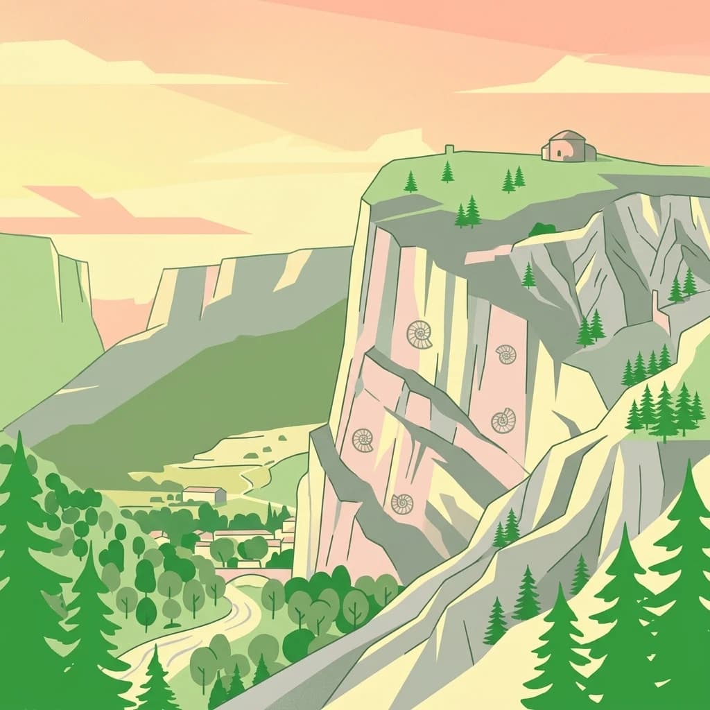
The Haute-Provence Geological Nature Reserve is a French national nature reserve located in the Provence-Alpes-Côte d'Azur region, spread across the departments of Alpes-de-Haute-Provence and Var. Established in 1984, it is composed of 18 distinct geological sites covering roughly 269 hectares between the Verdon and Durance valleys, and is recognized as the largest geological nature reserve of its kind in Europe. The reserve exists to protect exceptional fossil-bearing outcrops and folded, fractured rock layers that record more than 300 million years of Earth history, including an ancient ocean, tropical seas, and the tectonic opening of the Ligurian-Piedmont basin. The reserve is best known for the famous ammonite slab near Digne-les-Bains, which preserves about 1,500 ammonites of Early Jurassic age, as well as for a remarkably preserved ichthyosaur from La Robine and a sirenian fossil collection at Castellane. Together these sites illustrate the region's deep-time marine environments and the dramatic geological story of the southwestern Alps. In addition to its scientific importance, the reserve functions as a UNESCO Global Geopark and is a founding member of the European Geoparks Network, providing educational circuits, museums, and field experiences that connect visitors with the geological heritage of the Pre-Alps.
See the ranked park cluster in its geographic setting
Geographic proximity ranking and regional environmental comparison across neighboring protected landscapes

East
Explore France's dramatic Alps, park boundaries, and unique ecotones.
Mercantour National Park, in France. Landscapes: mountains, valleys, and lakes.

South
Travertine formations and cave habitats in Provence
Covering 25 hectares at the mouth of the Gorges du Verdon, this regional nature reserve protects a rare set of travertine terraces and tufa caves. Its geography creates a micro-refuge for specific cave-dwelling species and cliff-nesting raptors, standing as a significant example of geological and biological preservation in the Alpes-de-Haute-Provence department.

West
Geology, mountain ridges, and Mediterranean ecosystems of Provence
Parc naturel régional du Luberon serves as a vital protected corridor in southeastern France. The park features three parallel limestone massifs, dramatic ochre formations, and fossil-rich plateaus. Its geography offers a case study in integrating sustainable land use with rich biodiversity across the Vaucluse and Alpes-de-Haute-Provence departments.

East
Protected canyon landscape in Provence-Alpes-Côte d'Azur
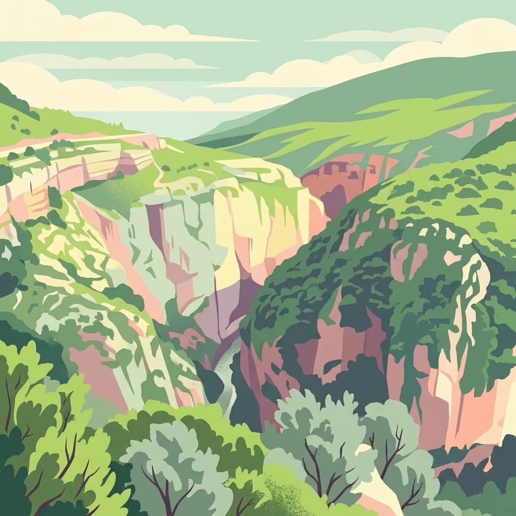
Defined by its vivid red pelite cliffs, Réserve naturelle régionale des gorges de Daluis functions as a significant protected canyon system. The terrain preserves rare mineralogy and diverse microhabitats, ranging from river-carved walls to upland slopes that support unique regional biodiversity in the Alpes-Maritimes.

North
Mapped boundaries and regional geography of a major French National Park.
Écrins National Park, in France. Landscapes: mountains, valleys, and glaciers.

East
A departmental park focusing on the wild Estéron River corridor
Located in the hinterland of the Côte d'Azur, Parc naturel départemental de l'Estéron provides a protected environment focused on the Estéron river valley. Its geography encompasses sun-exposed Mediterranean hillsides and riparian zones, reflecting the intersection of mountain terrain and historic cross-border heritage in the Alpes-Maritimes department.
West
Mapping Cenozoic fossil sites and limestone terrains in Provence
This protected area consists of 28 scattered sites documenting life from the Cenozoic Era through fossil-rich limestone, marl basins, and ancient lake sediments. It serves as a vital reference for field research and earth sciences, featuring rare trace fossils and mammal trackways embedded within the wider Provençal countryside.

Southeast
Upland limestone plateau in the French Baous massif
Covering 904 hectares above the town of Vence, this park features a unique combination of Mediterranean woodlands, open pastoral mosaics, and historic agricultural terraces. The terrain serves as a vital ecological corridor, recognized for its birdlife and reptiles, while its elevation offers expansive vistas across the surrounding regional geography from the coast to the high mountain summits.

South
Mediterranean habitats, cork oak forests, and temporary pool networks.
This nature reserve in the Var department protects a rare confluence of Mediterranean maquis, stone pines, and sandstone-based vernal pools. As a primary mainland habitat for the Hermann's tortoise, the area offers a significant study of lowland ecology and traditional Provençal land use within the broader Massif des Maures context.
Southeast
A transboundary conservation zone spanning 87,500 square kilometers.
Sanctuaire Pelagos represents a unique collaborative effort in marine conservation across the Mediterranean. Spanning the waters between France, Italy, and Monaco, this protected maritime area is defined by its deep-sea canyons and nutrient-rich currents that sustain diverse cetacean populations. Its immense scale and international governance make it a focal point for understanding Mediterranean marine biodiversity and environmental policy.

Southeast
Wetland habitats and historic trails in Alpes-Maritimes
Parc de Vaugrenier protects a diverse hundred-hectare expanse between Antibes and Villeneuve-Loubet. Its terrain bridges Mediterranean woodland and lush freshwater meadows, distinguished by a rare collection of exotic trees and remnants of the ancient Via Julia Augusta. This park provides a quiet geographic contrast to the surrounding coastal urbanization of the French Riviera.

Southeast
A vital Mediterranean corridor along the French Riviera coast
This marine protected area preserves a unique underwater mosaic where rocky shallows, sandy patches, and Posidonia seagrass meadows converge. Located offshore from the Estérel massif, the site provides a continuous conservation corridor between inland natural spaces and the Mediterranean Sea, offering insight into the littoral environment of the French Riviera.
West
Mapping regional nature reserves within inland Provence-Alpes-Côte d'Azur.
Located in the Villes-sur-Auzon commune, the Réserve naturelle régionale Ermitage-Escampeaux stands as a significant addition to the protected lands of Provence-Alpes-Côte d'Azur. This 252.9-hectare reserve offers a focused look at the transition between Mediterranean garrigue and the higher Provençal uplands, providing essential habitat conservation within a traditional rural mosaic.

North
High-mountain riverine landscape and buffer zone in Hautes-Alpes
This nature reserve encompasses a 4-kilometer stretch of the upper Séveraisse valley, focusing on alluvial riverbed habitat and peripheral mountain terrain. Located in the French Alps, the reserve provides a protected transition zone characterized by its narrow, U-shaped valley floor and steep rocky inclines, offering a key geographic link to the wider Écrins ecosystem.

Southeast
Regional state park with diverse Mediterranean woodland ecosystems
Parc naturel départemental du Vinaigrier offers a dense, 25 hectare mosaic of limestone plateaus and slopes near the Mediterranean coast. Its landscape is defined by traditional dry stone terraces and a rare flowering ash forest, creating a significant ecological bridge between the urban expansion of Nice and the hilly interior of the Alpes-Maritimes.

North
Tracing the alpine terrain and torrent corridors in the French Alps.
Covering roughly 84 hectares in the Isère region, this nature reserve integrates traditional pastoral landscapes with steep-sided forest slopes and rocky alpine ridges. It functions as a key protective buffer for the larger Écrins National Park, preserving a representative slice of southern French Alpine geography within a single, cohesive valley setting.

North
High-altitude mountain terrain in the southern French Alps
Covering slopes west of Briançon, Réserve naturelle régionale des Partias protects a layered alpine environment ranging from forested basins to rocky crests. This atlas entry provides a detailed geographic overview of the protected area, focusing on its distinctive mountain lakes, diverse soil substrates, and essential role in conserving alpine ecosystems.

Northeast
Glacial springs, peat bogs, and Monviso mountain terrain
Pian del Re is a significant regional park situated in the upper Po Valley of the Cottian Alps. Known for its high-altitude plateau, the area marks the origin of the Po River and hosts sensitive wetland habitats. The landscape is defined by the sharp relief of the Monviso group and a complex network of glacial meltwater, providing a distinct study in alpine ecology and mountain geography.

North
High-altitude mountain terrain in the French Alps
The Réserve naturelle nationale de la haute vallée du Vénéon occupies 61 hectares of striking alpine terrain near the hamlet of La Bérarde. Its landscape of steep slopes and glacial deposits functions as a key protected buffer zone, supporting diverse flora and fauna within the broader mountainous geography of the Auvergne-Rhône-Alpes region.

East
Mapped marine refuge along the dense Monaco shoreline.
The Larvotto and Portier Coastal Reserve represents a distinct marine protected area in Monaco, featuring significant seagrass meadows and transplanted rocky habitats. This coastal zone acts as an essential refuge for Mediterranean biodiversity, providing a rare example of structured marine conservation embedded within a highly developed urban landscape.
Geographic measurements, not driving distances
Calculated between the nearest points of both park boundaries.
Estimated from one mapped park location to the nearest boundary of the other park.
Estimated between the mapped locations of both parks.
Investigate the complex tectonic features and protected fossil sites within the Réserve naturelle géologique de Haute-Provence. MoriAtlas provides a structured perspective on the region's geological heritage, from its iconic ammonite slabs to the dramatic badlands carved by Alpine forces, anchoring your geographic discovery in deep-time history.