Mori Atlas logo
Park earthquake history

Review recorded seismic activity, event magnitudes, and epicentre proximity for this coastal reserve.

Historical Earthquake Records and Seismic Data for Réserve naturelle nationale du Platier d'Oye

This catalogue provides a structured overview of historical earthquakes associated by geographic distance with the Réserve naturelle nationale du Platier d'Oye. Users can examine specific event dates, recorded magnitudes, and focal depths to understand the historical seismic landscape surrounding this Opal Coast protected area. All entries are derived from standardized geological data, focusing on events documented within the regional vicinity of the dune and marsh habitats.

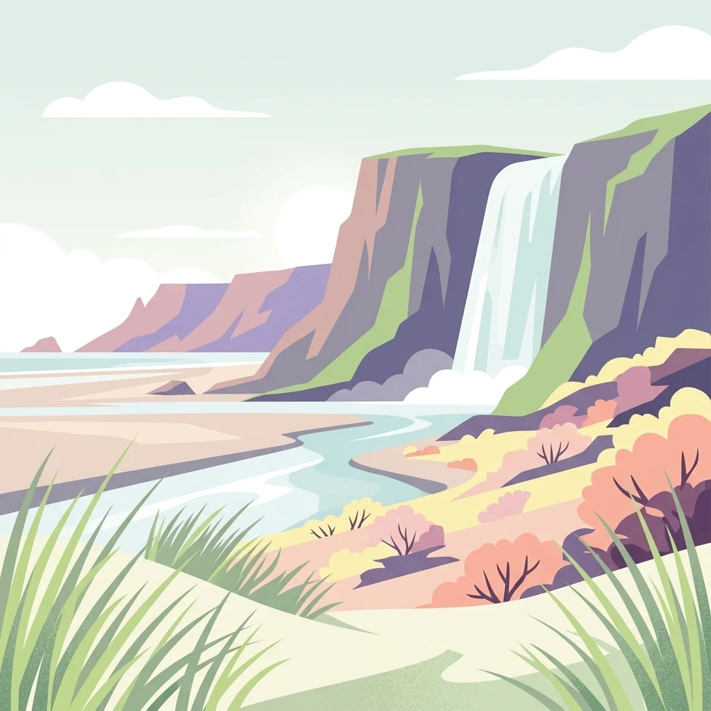
A flat-design digital illustration of a coastal nature reserve with tall cliffs, a waterfall cascading into a river, sandy dunes, and coastal grasses.

A coastal national nature reserve on the Opal Coast protecting dunes, estuarine mudflats, and a vital migratory bird corridor.

Réserve naturelle nationale du Platier d'Oye

The Réserve naturelle nationale du Platier d'Oye is a French national nature reserve located along the Opal Coast in the Pas-de-Calais department, between the cities of Calais and Dunkirk. Classified in 1987, it covers roughly 391 hectares of coastal habitats, combining terrestrial land, dune systems, and maritime public domain. The reserve is recognized primarily for its importance to migratory birds, sitting on one of the most significant bird migration corridors in northern France. The protected area encompasses three distinct landscape units: a 3.5-kilometer stretch of foreshore and mobile dunes shaped by marine currents and wind, an estuarine system with mudflats, salt marshes, and salt meadows, and an inland polder with humid meadows separated from the sea by the dune ridge. Together, these habitats support remarkable botanical and ornithological diversity, with hundreds of plant species and more than two hundred recorded bird species. Administratively managed by Eden 62, the reserve serves both conservation and public engagement functions. Grazing by Highland cattle and ponies helps maintain the open meadows that are essential for nesting and resting migratory birds, while managed ponds in the polder attract waterfowl. The site also forms part of Natura 2000 and receives protections under the European Birds Directive, underscoring its broader ecological significance.

Location
France
Park type
Nature reserve
Established
1987
Area
3.9 km²
Highest point
2 m
Réserve naturelle nationale du Platier d'Oye Protected Area

Review Réserve naturelle nationale du Platier d'Oye records by distance

Search earthquakes near Réserve naturelle nationale du Platier d'Oye

Earthquake observations near Réserve naturelle nationale du Platier d'Oye are connected through epicentre location and distance to the reserve, rather than confirmed boundary placement. Search dates, magnitudes, depths, localities, distances, and sources without assigning causation to coastal or reserve terrain, judging present hazard, or anticipating activity.

Sort by
Magnitude
Location

This page describes catalogued earthquakes associated with the park by epicentre location and distance. It does not establish causation, assess current danger, or predict future earthquakes.

No earthquake records match the current filters

Park atlas

Beyond Réserve naturelle nationale du Platier d'Oye earthquake data

More parks after Réserve naturelle nationale du Platier d'Oye

Réserve naturelle nationale du Platier d'Oye earthquake data is followed by an independently assembled park selection. The pages do not establish common coastal terrain, reserve designation, geology, seismic evidence, nearness, hazard, risk, or comparable source depth.
Nature reserveHauts-de-France
12 km away#1 closest

East

Réserve naturelle régionale de Grande-Synthe: Protected Geography and Regional Mapping

Nature reserve landscapes in the Hauts-de-France coastal plain

Spanning 174 hectares on the edge of the Dunkirk urban zone, this protected area serves as a model for ecological restoration. Examine the patchwork of sandy grasslands, wetlands, and mature hedgerows that define the reserve, and see its position as a link in the regional green and blue ecological corridor of northern France.

Area
1.74 km²
Established
2015
Relief
Lowland
Climate
Temperate
Nature reserveHauts-de-France
13 km away#2 closest

Southwest

Réserve naturelle régionale de Pont d'Ardres: Mapped Wetland Geography and Protected Lands

A restored industrial landscape in the Hauts-de-France coastal hinterland.

Situated southeast of Calais, this reserve represents a rare success in ecological restoration. The former sugar factory basins now provide vital habitats for shorebirds and nesting species, maintaining an essential wetland presence in an otherwise cultivated landscape of northern France.

Area
0.663 km²
Established
2012
IUCN
IV
Relief
Lowland
Nature reserveHauts-de-France
About 25 km away#3 closest

Southwest

Réserve naturelle régionale de la forteresse de Mimoyecques: Regional Nature Reserve Geography

Protected subterranean habitat and wartime heritage in Hauts-de-France.

Located in the rolling lowlands of the Pas-de-Calais, the Réserve naturelle régionale de la forteresse de Mimoyecques is a uniquely managed protected area. Its landscape integrates historical military architecture with modern biodiversity conservation, focusing on the protection of rare underground roosting environments for diverse bat species within the regional Hauts-de-France terrain.

Area
0.016 km²
Established
2012
Relief
Lowland
Climate
Temperate
A horizontal watercolor painting showing a soft landscape with green vegetation, pink accents, and a winding body of water leading towards distant hills.
Nature reserveFrance
About 27 km away#4 closest

Southwest

Réserve naturelle régionale du mont de Couple: Protected Chalk Escarpment and Coastal Viewpoint

A limestone ridge sanctuary in the northern French Boulonnais region

Spanning a rare chalk cuesta in northern France, this protected area balances ecological conservation with distinct geological features. The reserve provides critical habitat for orchids and protected flora while serving as a strategic viewpoint across the Straits of Dover and the surrounding Opal Coast terrain.

Area
0.136 km²
Established
1997
Relief
Upland
Climate
Temperate
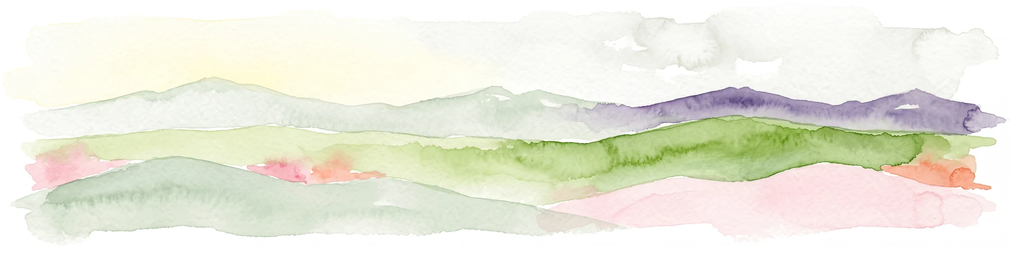
Watercolor painting showing layered rolling hills or dunes in shades of green, purple, and pale pink against a white background.
Nature reserveHauts-de-France
About 29 km away#5 closest

East

Réserve naturelle nationale de la dune Marchand: Protected Coastal Dune Landscapes

Coastal Flemish dunes and North Sea protected geography

Located in the Hauts-de-France region, the Réserve naturelle nationale de la dune Marchand is a protected area defined by its rare continuity of dune habitats. From wind-scoured slacks to established grey dunes and wetland pockets, the reserve provides a critical study of coastal topography and endemic species preservation within an active maritime border landscape.

Area
1.13 km²
Established
1974
IUCN
IV
Relief
Lowland
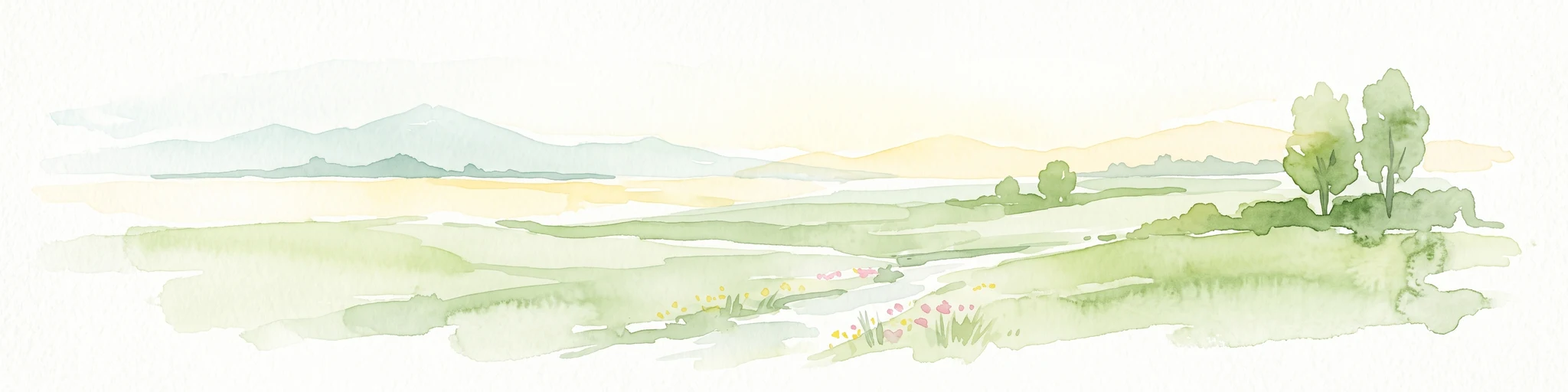
A soft watercolor painting of a green meadow, featuring gentle hills in the distance, a small stream flowing through the center, and a few scattered trees, all set against a white background.
Nature reserveHauts-de-France
About 30 km away#6 closest

Southeast

Réserve naturelle régionale des prairies du Schoubrouck: Geography and Protected Area Overview

Wet-meadow habitats and historic watergang networks in northern France.

Located in the Hauts-de-France region, Réserve naturelle régionale des prairies du Schoubrouck provides a focused look at the cultural and ecological heritage of Flemish lowland landscapes. This site preserves an essential mosaic of wet grasslands and traditional drainage systems, serving as a key example of habitat-specific conservation stewardship within the rural fabric of the Nord department.

Area
0.102 km²
Established
2012
IUCN
IV
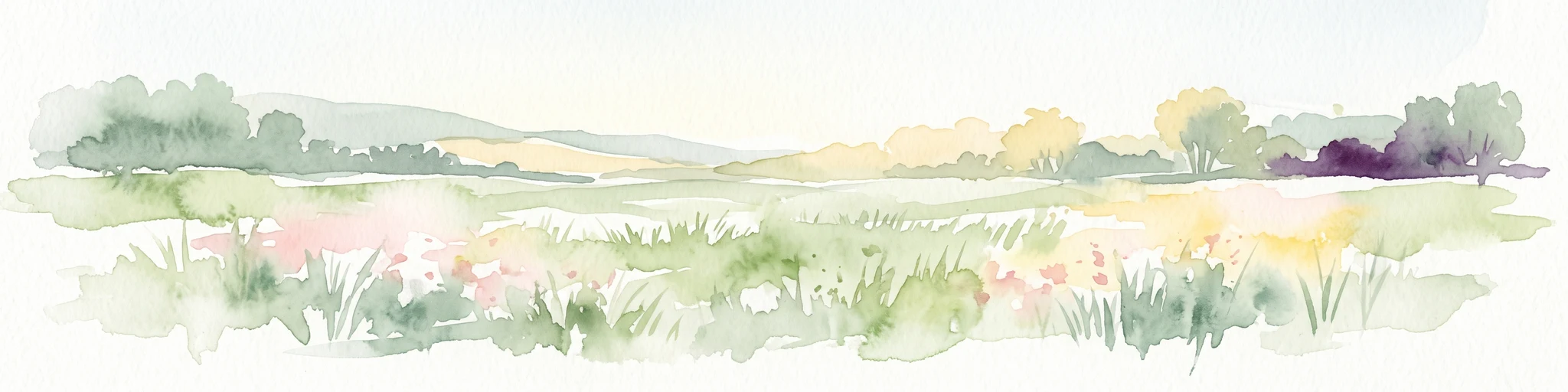
A horizontal watercolor illustration depicting a soft, impressionistic landscape of wetland meadows, grassy patches, and distant trees in pastel shades of green, yellow, and soft purple.
Nature reserveHauts-de-France
About 34 km away#7 closest

East

Réserve naturelle régionale du vallon de la Petite Becque: Protected Area Map and Geography

Flemish Houtland wetland conservation and regional green infrastructure

This protected area in Hauts-de-France functions as a compact, high-value laboratory for habitat restoration within the modernized Flemish countryside. It provides essential sanctuary for relict marsh flora, orchid-rich meadows, and specialized invertebrate communities, effectively acting as an ecological island amidst a vast expanse of intensively cultivated arable farmland.

Area
0.009 km²
Established
2010
IUCN
IV
Relief
Lowland
Nature reserveHauts-de-France
35 km away#8 closest

Southeast

Réserve naturelle régionale du plateau des landes: Regional Nature Reserve Landscape Profile

Protected heathland geography in the Pas-de-Calais corridor.

Understand the ecological structure of the Réserve naturelle régionale du plateau des landes. This protected area features a unique crescent shape and mosaic of heathland sectors spread across several communes, offering a focused study of low-elevation inland conservation management in the heart of northern France.

Area
1.811 km²
Established
2009
IUCN
IV
MoriAtlas Explorer

Continue Exploring the Protected Landscapes of Réserve naturelle nationale du Platier d'Oye

Deepen your understanding of this significant coastal nature reserve through its mapped habitats, including shifting dunes, salt meadows, and polder wetlands. Use MoriAtlas to trace the geographic boundaries and regional environmental context of this protected site along the French North Sea coast.