Mori Atlas logo
Park earthquake history

Explore recorded historical seismic events, magnitudes, and spatial distances relative to park boundaries.

Historical Earthquake Records and Seismic Activity Archive for Réunion National Park

Review an organized catalogue of historical seismic events associated by location with the geographic footprint of Réunion National Park. This data archive provides structured insights into recorded earthquake magnitudes, epicentre coordinates, and proximity metrics for the region. Each entry reflects logged USGS data to support geographical analysis of historical seismic activity within this Indian Ocean island landscape.

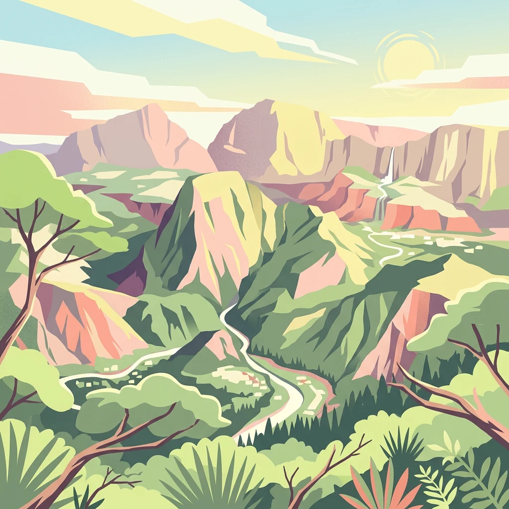
Stylized illustration of a mountainous landscape with green valleys, a winding river, and colorful rock formations under a partly cloudy sky

Volcanic peaks, ancient cirques, and endemic biodiversity on a French Indian Ocean island

Réunion National Park

Réunion National Park is a French national park established in 2007 on the island of Réunion, an overseas department of France located in the western Indian Ocean. The park protects the mountainous interior of the island known as Les Hauts, covering approximately 42% of the island's surface area. This volcanic landscape features dramatic cirques, steep remparts, and two major shield volcanoes—Piton des Neiges, the Indian Ocean's highest point at 3,071 meters, and the still-active Piton de la Fournaise. The park's extraordinary geological heritage and exceptional biodiversity led to its designation as a UNESCO World Heritage Site in 2010 under the name "Pitons, cirques and remparts of Réunion Island." The park preserves highly endemic ecosystems with species found nowhere else on Earth, making it one of the most significant conservation areas in the Mascarene Islands region.

Location
France
Park type
National park
Established
2007
Area
1,053.8 km²
Highest point
3,071 m
Réunion National Park Protected Landscape Atlas

Seismic records and regional epicentre locations mapped by distance from Réunion National Park.

Historical Seismic and Earthquake Catalogue for Réunion National Park

Geographic records document historical seismic events based on calculated epicentre distance from the protected boundary of Réunion National Park. Each catalogued entry provides precise geographic details including the event date, recorded magnitude, focal depth, reported location, and direct links to primary seismological data sources.

Sort by
Magnitude
Location

This page describes catalogued earthquakes associated with the park by epicentre location and distance. It does not establish causation, assess current danger, or predict future earthquakes.

No earthquake records match the current filters

Park atlas

Expanding your geographic exploration across global conservation landscapes and national preserves

Discovering Other National Parks and Protected Areas Beyond Réunion National Park

Transitioning from the regional context of Réunion National Park opens up a wider database of global protected areas and conservation territories. Navigating these diverse park profiles allows users to compare management designations, explore regional maps, and locate notable natural sanctuaries across different continents.
Watercolor illustration of a forest scene with trees, ferns, and distant mountains
National parkMauritius
About 230 km away#1 closest

Northeast

Bras d'Eau National Park: Mauritius National Park Protected Landscape Discovery

Explore coastal terrain, endemic species habitats, and wetland geography.

Bras d'Eau National Park, situated on Mauritius, offers an in-depth look at a protected coastal lowland landscape vital for conservation. This national park showcases remnant forest patches critical for endemic flora and fauna, complemented by a unique system of four mares, including the mangrove-rich Mare sarcelle. Its mapped geography provides context for island ecosystems and serves as a key location for understanding Mauritius's protected natural areas.

Area
4.97 km²
Established
2011
Relief
Lowland
Climate
Tropical
Watercolor illustration of a landscape featuring mountains, a lake, trees, and pink flowers in the foreground
National parkAlaotra-Mangoro
About 758 km away#2 closest

West

Analamazaotra National Park: Protected Rainforest Ecosystem and Mapped Landscape in Alaotra-Mangoro

Explore Madagascar's Eastern Highlands protected area geography.

Analamazaotra National Park, situated in Madagascar's Alaotra-Mangoro region, represents a critical segment of the island's protected eastern rainforests. This national park is mapped as a vital conservation area, offering insights into its unique ecosystems and natural terrain. Understanding Analamazaotra National Park's geographic placement and protected boundaries provides essential context for regional landscape exploration and atlas-based geographic discovery within Madagascar.

Area
26.53 km²
Established
2015
IUCN
II
Relief
Highland
National parkAlaotra-Mangoro
About 759 km away#3 closest

West

Andasibe-Mantadia National Park: National Park and Protected Landscape Identity

Explore its mapped boundaries and geographic context.

Andasibe-Mantadia National Park is a distinct protected territory within the Alaotra-Mangoro region, serving as a crucial focal point for understanding Madagascar's regional geography and protected land distribution. This detail page provides essential atlas-style information on the park's mapped area and its natural landscape characteristics. Engage with structured data that highlights the park's protected status and its position within the broader geographic framework of eastern Madagascar, supporting focused discovery for researchers and explorers.

Area
155 km²
Established
1989
IUCN
II
Visitors
26.1K annual
National parkMadagascar
About 775 km away#4 closest

Northwest

Zahamena National Park: Madagascar National Park Exploration and Geographic Context

Mapping the protected boundaries and landscape of Zahamena National Park.

Delve into Zahamena National Park, a vital protected territory situated in Madagascar. This national park offers a unique perspective on the island's natural geography and its status as a significant protected landscape. Understand its position within Madagascar's broader context, focusing on the mapped aspects of its protected area identity and its contribution to the country's renowned biodiversity hotspot status.

Area
423 km²
Established
1997
IUCN
II
Relief
Mountain
National parkMadagascar
805 km away#5 closest

West

Ranomafana National Park: Madagascar's premier Tropical Rainforest Protected Area

Explore its unique mapped geography and landscape context.

Ranomafana National Park stands as a crucial national park within Madagascar's protected lands, safeguarding a significant expanse of tropical rainforest. This page offers a deep dive into its geographic setting, detailing the mapped boundaries and the distinctive natural terrain that supports its exceptional biodiversity. Discover the atlas value of this protected landscape for understanding regional conservation and geographic context.

Area
416 km²
Established
1991
IUCN
II
Climate
Tropical
National parkMadagascar
About 808 km away#6 closest

West

Marolambo National Park: Madagascar's National Park and Protected Landscape

Explore mapped boundaries and regional geography.

Marolambo National Park stands as a protected national park within Madagascar's globally recognized biodiversity hotspot. This entry provides focused insight into its protected landscape, its specific geographic context within the island nation, and its role in the conservation of unique natural terrain. Understanding Marolambo National Park through its mapped boundaries and regional geography contributes to a broader atlas exploration of Madagascar's endemic ecosystems.

Area
950.63 km²
Climate
Tropical
Access
Remote access
Scope
Terrestrial
National parkHaute Matsiatra
867 km away#7 closest

West

Andringitra National Park: A Protected Landscape within Haute Matsiatra's Geography

Explore mapped park boundaries and regional terrain.

Andringitra National Park represents a vital protected area within the Haute Matsiatra region, contributing significantly to the mapped landscape of central Madagascar. Its designation as a national park underscores its importance for conservation and geographic study. Users exploring this destination can gain a detailed understanding of its specific protected boundaries, the surrounding natural terrain, and its overall contribution to the regional geography, making it a key site for atlas-based landscape discovery.

Area
311.6 km²
Established
1999
IUCN
II
Visitors
3.4K annual
National parkAtsimo-Atsinanana
About 904 km away#8 closest

West

Midongy du sud National Park: National Park in Atsimo-Atsinanana, Madagascar

Explore its protected landscape and mapped geography.

Midongy du sud National Park is a significant protected area located in the Atsimo-Atsinanana region of Madagascar. This entry provides detailed geographic context, focusing on the park's mapped boundaries and its identity as a national park. It supports atlas-based discovery by offering insights into the park's specific landscape and its regional setting within southeastern Madagascar, serving as a factual resource for understanding its protected status.

Area
1,922 km²
Established
1997
IUCN
II
Relief
Mountain
MoriAtlas Explorer

Continue Exploring Réunion National Park's Volcanic Terrain and Protected Geography

Deepen your understanding of Réunion National Park by examining its specific mapped boundaries and the unique regional geography it occupies within the Mascarene Islands. This atlas entry provides a factual foundation for appreciating the park's volcanic landscape, endemic ecosystems, and its significant role as a protected natural area. Continue to discover the intricate details of its terrain and its place within broader conservation geography.