Mori Atlas logo
Nearby park discovery

Explore the regional distribution and mapped boundaries of nearby protected landscapes

Geographic Discovery of Protected Areas Near Ste Anne Marine National Park in Seychelles

Navigate the geographical network of marine protected areas and national parks surrounding Ste Anne Marine National Park. This regional perspective offers insight into the distribution of protected landscapes across the Seychelles archipelago, helping to clarify the physical proximity and spatial relationships between various marine environments.

An illustrative landscape showing a tropical coastline with lush green trees, palm trees, and a small island in calm blue water under a sunset sky with clouds.

One of the oldest marine protected areas in the Indian Ocean, protecting vibrant coral reefs around Ste Anne Island

Ste Anne Marine National Park

Ste Anne Marine National Park is a marine protected area located in the Seychelles archipelago in the Indian Ocean. Established in 1973, it is among the oldest marine national parks in the region and encompasses the waters surrounding Ste Anne Island and several nearby islands. The park protects a diverse marine ecosystem featuring coral reefs, seagrass beds, and lagoonal waters that support a rich variety of marine life. The islands within the park are themselves notable, featuring granite rock formations, tropical vegetation, and historically significant sites dating back to French colonial settlement in the 18th century. The park serves as both a conservation tool for protecting Seychelles' marine biodiversity and as a destination for visitors seeking to experience the archipelago's underwater treasures through snorkeling and diving activities.

Location
Seychelles
Park type
Marine protected area
Ste Anne Marine National Park Atlas
Regional park map

See the ranked park cluster in its geographic setting

Nearby parks around Ste Anne Marine National Park

This regional map shows the same 19 nearby parks ranked below around Ste Anne Marine National Park. Select a ranked marker to highlight that park’s boundary where boundary data is available.
Reference park: Ste Anne Marine National ParkRanked nearby park19 nearby parks shown
19 nearby parks

Geographic proximity and regional environment comparisons for Ste Anne Marine National Park

Ranked Protected Areas and Surrounding Parks Near Ste Anne Marine National Park

Examine a ranked collection of protected areas situated within geographic proximity to Ste Anne Marine National Park based on direct boundary measurements. Analyze surrounding regional park geography and environmental characteristics to compare marine and terrestrial conservation landscapes across the territory.
A vibrant, digital illustration of a coastal scene featuring a small, tree-covered island surrounded by turquoise ocean, framed by tropical vegetation in the foreground and distant mountains under a soft, pastel-colored sky.
Marine protected areaMauritius
Mapped park locations coincide#1 closest

Ste. Anne Marine National Park: An Atlas View of Mauritius Marine Protected Areas

Coral reef ecosystems and oceanic territory mapping.

Analyze the protected marine boundaries and underwater terrain of Ste. Anne Marine National Park. This geographic overview details the park role in preserving coral reef health and marine biodiversity off the coast of Mauritius within the Indian Ocean basin.

IUCN
II
Scope
Marine
An illustrative style image of a tropical coastline with sandy beaches, palm trees, granite rocks, and dense jungle vegetation meeting the sea.
National parkSeychelles
About 9.4 km away#2 closest

West

Morne Seychellois National Park: Seychelles' Largest National Park & Montane Forest Atlas

Explore its mapped boundaries and endemic highland ecosystems.

Morne Seychellois National Park stands as the largest national park in Seychelles, safeguarding the island nation's critical montane forest and highland ecosystems. Occupying the central mountainous backbone of Mahé island, this protected area offers a window into the unique granitic island geography of the western Indian Ocean. The park's landscape is characterized by steep ridges and high elevations, preserving a rare example of intact natural terrain vital for endemic biodiversity and regional conservation.

IUCN
II
Climate
Tropical
Scope
Terrestrial
National parkSeychelles
About 41 km away#3 closest

Northeast

Praslin National Park: Seychelles National Park with Distinct Protected Landscape Identity

Mapped geography and protected area focus.

Understand Praslin National Park as a key protected area within the Seychelles archipelago. This dedicated content explores the park's geographic setting, its mapped boundaries, and its identity as a national park. Discover the specific landscape context and terrain that characterize this protected island natural space, essential for a structured atlas view of conservation areas.

A digital illustration of a green, hilly island surrounded by teal ocean waters under a pastel-toned sky.
Marine protected areaSeychelles
About 44 km away#4 closest

Northeast

Curieuse Marine National Park: Seychelles Marine Protected Area & Landscape Context

Mapped marine protected area within Seychelles' island geography.

Curieuse Marine National Park stands as a crucial marine protected area situated within the distinctive island geography of Seychelles. This dedicated park page offers an atlas-level view of its protected landscape, detailing its mapped boundaries and geographic significance. It serves as a core reference for understanding the natural context and protected marine environment within this archipelago nation.

Established
1979
Relief
Lowland
Scope
Mixed
Water
Major water bodies
National parkSeychelles
About 53 km away#5 closest

Northeast

Ramos National Park: Seychelles National Park Protected Landscape and Geographic Context

Mapping the natural terrain and park boundaries

Delve into the protected area identity of Ramos National Park, a key national park within the Seychelles. This page serves as an atlas entry focused on its geographic placement and mapped landscape. Understand the natural terrain and how Ramos National Park fits within the broader context of the Seychelles archipelago, offering detailed insights into its protected land characteristics for geographic discovery.

Area
2.68 km²
Established
1983
Scope
Marine
Water
Water-dominated
Wildlife reserveDiana
About 1,103 km away#6 closest

Southwest

Réserve spéciale d'Analamerana: Mapped Geography and Protected Karst Ecosystems

Northern Madagascar wilderness and dry forest topography

Navigate the rugged limestone corridors and canyon networks of Réserve spéciale d'Analamerana. This protected area showcases a distinctive dry forest landscape shaped by seasonal tropical climates and serves as a critical habitat for rare endemic species within the Diana region.

Area
347 km²
Established
1956
IUCN
IV
Relief
Upland
A colorful digital illustration of a small island with palm trees and huts surrounded by a circular boardwalk in shallow turquoise water at sunset.
National parkDiana Region
About 1,105 km away#7 closest

Southwest

Nosy Hara National Park: Mapped Protected Landscape and Regional Geographic Context

Atlas exploration of national park boundaries and natural terrain.

Nosy Hara National Park is a designated national park situated within the Diana Region of Madagascar. This entry provides detailed geographic information, focusing on the park's mapped boundaries and its role as a protected landscape. Explore the unique regional geography and understand how this protected area contributes to the broader atlas of natural landscapes.

Area
2.7 km²
Relief
Lowland
Climate
Tropical
Access
Access unknown
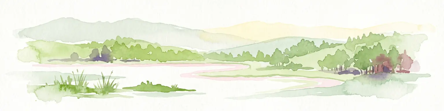
A watercolor painting showing a panoramic view of a calm lake surrounded by lush green hills and forests in Madagascar.
National parkMadagascar
About 1,125 km away#8 closest

Southwest

Montagne d'Ambre National Park: Mapped Volcanic Massif and Rainforest Boundaries in Madagascar

Protected montane landscape in the Diana Region of northern Madagascar

Centered around the prominent Mount Ambohitra, this national park showcases a distinct volcanic basaltic massif that creates a dramatic contrast with the nearby semi-desert terrain. Explore the geographic footprint of this biodiversity hotspot, featuring dense montane rainforests, numerous crater lakes, and cascading mountain waterfalls within the northern territory of Madagascar.

Area
182 km²
Established
1958
IUCN
II
Relief
Mountain
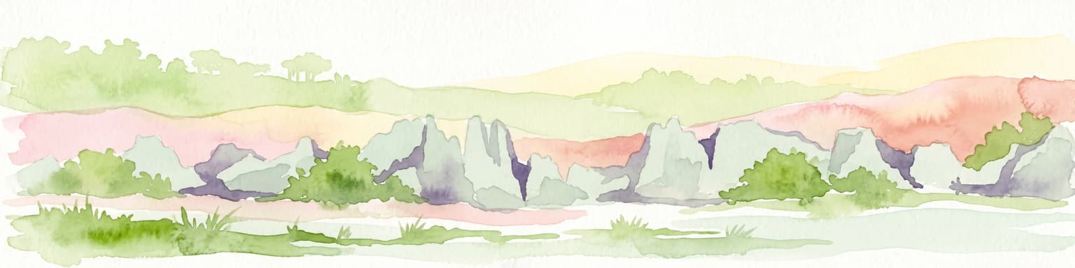
A watercolor landscape illustration depicting green bushes and grey, jagged rock formations under a soft pink and yellow sky.
Nature reserveDiana Region
About 1,137 km away#9 closest

Southwest

Ankarana Special Reserve: A Detailed Geographic Atlas of the Diana Region's Limestone Plateau

Mapping the karst landscape, subterranean rivers, and cliff formations.

Examine the rugged topography of Ankarana Special Reserve, featuring a 25-kilometre-long cliff known as the Wall of Ankarana and 100 kilometres of mapped cave passages. This protected area offers deep insight into Madagascar's geological history and rare endemic lemur habitats within its dense, jagged tsingy ridges.

Area
182 km²
Established
1956
IUCN
IV
Relief
Upland
National parkMadagascar
About 1,251 km away#10 closest

Southwest

Lokobe National Park: Madagascar's Protected Natural Landscape and Geographic Context

Explore mapped boundaries and regional park geography.

Lokobe National Park is a protected national park situated within Madagascar, an island country recognized globally for its exceptional biodiversity and unique ecosystems. This page offers a detailed, atlas-oriented perspective on Lokobe National Park, focusing on its designation as a protected area, its specific geographic location, and the natural landscape features that define its territory. Users can explore the park's mapped boundaries and understand its contribution to Madagascar's remarkable natural heritage.

Area
15.23 km²
Established
1927
IUCN
II
Climate
Tropical
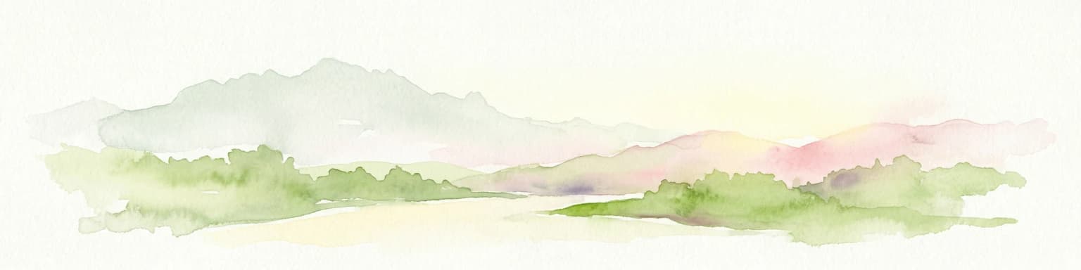
Watercolor painting of a mountainous landscape with green vegetation, a body of water, and distant peaks under a light sky
National parkMadagascar
About 1,260 km away#11 closest

Southwest

Marojejy National Park

Mapped landscape context and regional protected area significance.

Marojejy National Park, in Madagascar. Landscapes: mountains, cliffs, and forests.

Area
555 km²
Established
1998
IUCN
II
Relief
Mountain
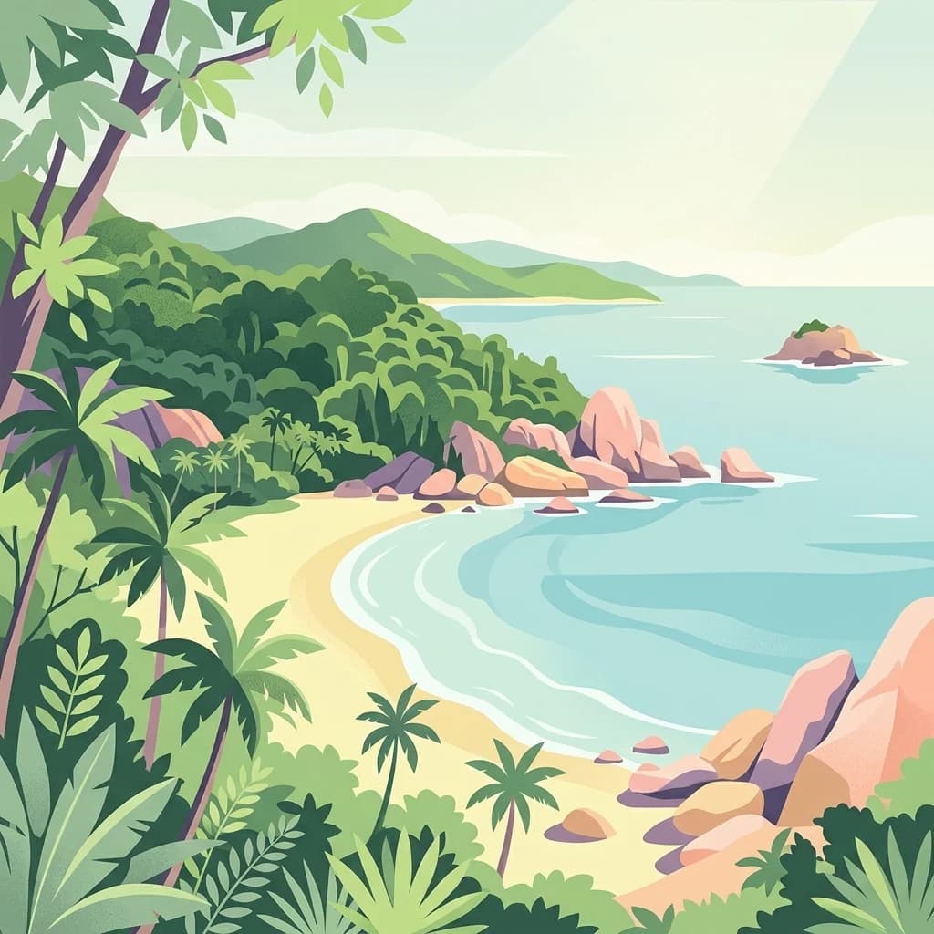
A stylized flat vector illustration of a tropical coastline with a sandy beach in the foreground, calm turquoise ocean water, and rocky, tree-covered cliffs on the right.
National parkMadagascar
About 1,264 km away#12 closest

Southwest

Nosy Tanikely National Park: Madagascar National Park & Protected Landscape Identity

Mapped geography and regional park context in Madagascar.

Nosy Tanikely National Park is a designated national park in Madagascar, offering a focused entry point for understanding protected land geography. As a key entity within the island's conservation landscape, it provides valuable context for exploring mapped park boundaries and regional geographic features. Discover how this protected area contributes to the broader atlas of Madagascar's natural heritage.

Area
3.41 km²
Established
2011
Relief
Lowland
Climate
Tropical
Nature reserveDiana
About 1,265 km away#13 closest

Southwest

Réserve naturelle intégrale de Tsaratanana: Highland Massif and Protected Mountain Terrain

High-altitude geography in the Diana region of northern Madagascar

Spanning tens of thousands of hectares, the Réserve naturelle intégrale de Tsaratanana protects the highest mountain terrain in Madagascar. The landscape is defined by the crystalline Vohibory massif, creating a complex topography of deep valleys and dramatic elevation gradients that support endemic primate habitats and montane forest ecosystems.

Area
486.22 km²
Established
1927
IUCN
Ia
Wildlife reserveSava
About 1,298 km away#14 closest

Southwest

Réserve spéciale d'Anjanaharibe-Sud: Geography and Protected Area Landscape Overview

Deep forest terrain and mountain ridges in the Sava region

Situated in northeastern Madagascar, Réserve spéciale d'Anjanaharibe-Sud encompasses dense evergreen forests and steep mountain terrain. This protected area serves as a significant conservation landscape for rare endemic species, providing a high-elevation habitat that climbs dramatically from 500 meters to peaks above 2,000 meters across the Sava region.

Area
182.56 km²
Established
1958
IUCN
IV
Relief
Mountain
A stylized digital illustration of a tropical rainforest with a small waterfall, palm trees, and a mountain peak in the background.
National parkSava Region
About 1,299 km away#15 closest

Southwest

Masoala National Park

Discover the unique geographic features and rich biodiversity of this Sava Region national park.

Masoala National Park, in Sava Region, Madagascar. Landscapes: mountains, forests, and wetlands.

Area
2,400 km²
Established
1997
IUCN
II
Visitors
3K annual
Wildlife reserveDiana
About 1,303 km away#16 closest

Southwest

Manongarivo Special Reserve: Protected Wildlife and River Landscapes in Northern Madagascar

Examining the humid forest terrain and geographic boundaries of the Diana region

Located in the Diana region, Manongarivo Special Reserve serves as a critical protected area within the northern humid rainforest system of Madagascar. The territory is defined by steep forested hills, narrow river valleys, and diverse ecological niches. By analyzing its specific topographic markers and river systems, this entry details the natural landscape and protected status of this significant biodiversity reserve.

Area
327.35 km²
Established
1956
IUCN
IV
Climate
Tropical
Protected areaSomalia
About 1,304 km away#17 closest

Northwest

Hobyo National Park Protected Area: Geographic Identity and Mapped Boundaries in Somalia

Exploring protected landscapes and regional terrain.

Hobyo National Park is a protected area contributing to Somalia's conservation landscape. This entry provides essential geographic context, detailing its mapped boundaries and regional significance. Understand its role within East Africa's protected area network and explore its unique terrain through an atlas-driven perspective, focusing on landscape identity and geographic placement.

Scope
Terrestrial
National parkMiddle Juba
About 1,316 km away#18 closest

Northwest

Jilib National Park: National Park with Mapped Protected Boundaries

Geographic context within Middle Juba.

Examine Jilib National Park as a significant protected natural area. This national park's identity is rooted in its specific geographic location within the Middle Juba region. The atlas-focused presentation details its mapped boundaries and landscape context, allowing for precise exploration of its protected status and regional significance. Understanding Jilib National Park contributes to a broader appreciation of Somalia's conservation geography.

Area
950 km²
Established
1970
IUCN
II
Visitors
300 annual
National parkMadagascar
About 1,345 km away#19 closest

Southwest

Sahamalaza National Park: A Key National Park and Ramsar Wetland in Madagascar

Explore Madagascar's unique protected landscape and biodiversity hotspot

Sahamalaza National Park is a significant protected area in Madagascar, designated as both a National Park and an internationally important Ramsar Wetland. It protects vital transitional forest ecosystems and extensive coastal wetland habitats, offering a crucial refuge for critically endangered lemur species and migratory birds. The park's unique geography and ecological role provide rich context for understanding Madagascar's celebrated endemic biodiversity and conservation efforts through mapped landscape exploration.

Area
260.35 km²
Established
2007
IUCN
II
Climate
Tropical
Distance methodology

Geographic measurements, not driving distances

How nearby park distances are calculated

Distances use park boundaries whenever the available geometry allows it. When one or both boundaries are missing, the mapped park locations provide a clearly labelled estimate. Every value represents straight-line geographic separation and does not use roads or routing.

Boundary distance

Calculated between the nearest points of both park boundaries.

Location-to-boundary estimate

Estimated from one mapped park location to the nearest boundary of the other park.

Mapped-location estimate

Estimated between the mapped locations of both parks.

MoriAtlas Explorer

Continue Exploring the Geography of Ste Anne Marine National Park

Deepen your understanding of Ste Anne Marine National Park by examining its protected marine boundaries and unique granite island terrain. Use these geographic insights to better grasp how this significant Seychelles reserve functions as a vital component of the Indian Ocean's marine landscape.

Global natural geography