
Why Ta Phraya National Park stands out
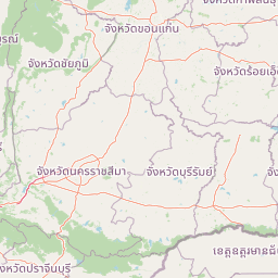
Ta Phraya National Park is best known for its dual significance as a UNESCO World Heritage Site and a conservation area harboring the endangered Siamese rosewood tree species. The park contains ancient Khmer temple ruins, particularly the Prasat Khao Lon complex, which represent the historical cultural layer of the region. It serves as a critical ecological corridor connecting the Sankamphaeng and Dangrek mountain ranges, protecting forests that represent some of the last remaining relatively intact natural areas in eastern Thailand. The park's location along the international border also makes it a focal point for counter-poaching efforts targeting illegal rosewood extraction that has become a regional conservation challenge.
Ta Phraya National Park history and protected-area timeline
Ta Phraya National Park was established in 1996 as the 82nd national park in Thailand, representing a relatively recent addition to the country's protected area system. The park was created during a period when Thailand was expanding its conservation network to include remaining forest areas in regions that had previously received limited protection. The selection of this particular area reflected growing recognition of the ecological importance of the mountainous zones along the eastern border, where forest cover had remained relatively intact compared to lowland areas that had been converted to agriculture and settlement.
The park's history is deeply intertwined with the broader political and social dynamics of the Thai-Cambodian border region. During the 1970s through the 1990s, the border zone served as a refuge for Cambodians fleeing conflict in their country, and the forests of what is now Ta Phraya National Park included refugee camp areas. This period left lasting impacts on the landscape and local communities, though the establishment of the park as a protected area has helped restore ecological integrity to much of the region.
The area also carries significant cultural heritage from the Khmer Empire period, with temple ruins such as Prasat Khao Lon representing the historical presence of one of Southeast Asia's great civilizations. These archaeological remains are distributed throughout the park and provide evidence of the region's importance as part of broader Khmer trading and cultural networks that extended across what is now eastern Thailand.
Ta Phraya National Park landscape and geographic character
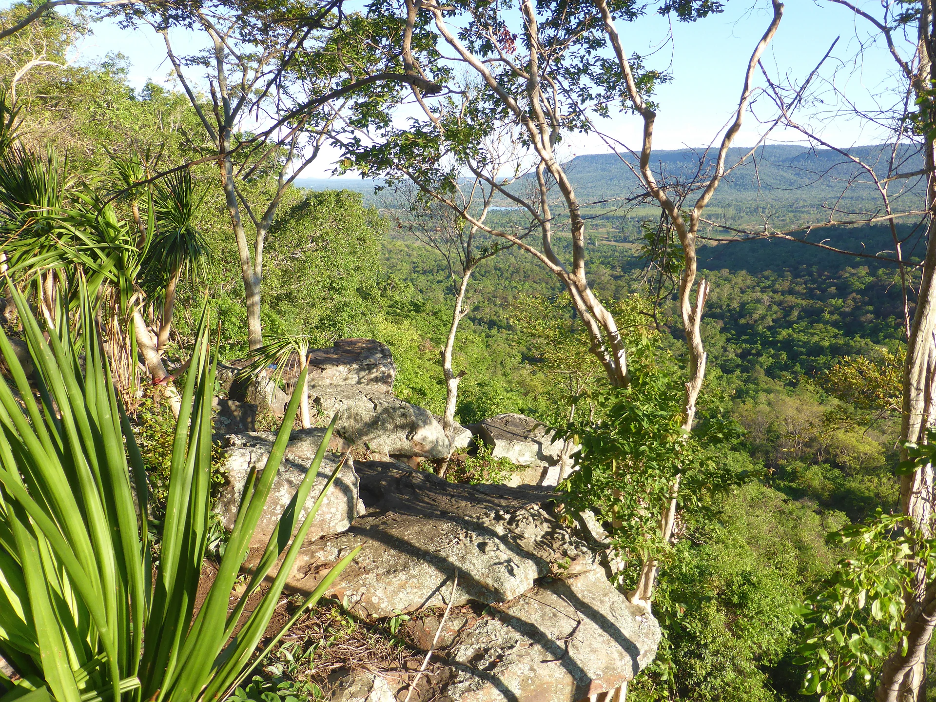
The physical landscape of Ta Phraya National Park is defined by its position at the intersection of two major mountain ranges. The Sankamphaeng Range extends from north to south through the central part of the park, while the Dangrek Range approaches from the west and forms part of the natural boundary with Cambodia. This junction creates a complex terrain of ridges, valleys, andfoothills that characterizes the eastern frontier of Thailand. The highest point in the park is Khao Pran Nut at 579 meters above sea level, though most of the park lies at elevations between 200 and 400 meters.
The terrain exhibits considerable variation in slope and aspect, with average gradients around 35 percent across much of the park area. This mountainous character creates numerous small catchments and drainage lines that feed streams flowing outward from the central highlands. These watercourses eventually join larger river systems that drain toward the Gulf of Thailand. The park contains several natural springs and streams that provide important water sources for both wildlife and local communities, though the seasonal monsoon pattern creates significant variation in water availability throughout the year.
The landscape supports forest cover that varies with topographic position and environmental conditions. Lower slopes and valleys typically support dry evergreen forest or mixed deciduous forest, while steeper ridges and areas with shallower soils feature dipterocarp forest communities. The forest cover creates a visually distinctive landscape that changes with seasons, from the fresh green of the wet season to the more varied colors of the dry period when some deciduous species lose their leaves.
Ta Phraya National Park ecosystems, habitats, and plant life
The ecological character of Ta Phraya National Park reflects its position in a transition zone between different forest types and its location within the larger Dong Phayayen-Khao Yai Forest Complex. The park contains three primary forest types: mixed deciduous forest, dry evergreen forest, and dipterocarp forest. Each of these forest communities supports different assemblages of plant species and provides varied habitat conditions for wildlife. The complexity of terrain and the resulting diversity of microhabitats contribute to the overall biodiversity of the area.
As part of a UNESCO World Heritage Site, the park contributes to the protection of one of the most significant forest complexes in Southeast Asia. This designation recognizes the global importance of the area's biodiversity and the success of Thailand's conservation efforts in maintaining large areas of natural forest. The forest complex serves as a critical corridor for wildlife movement between protected areas and provides ecosystem services that extend beyond the park's boundaries to surrounding agricultural lands and communities.
The park's forest communities are subject to seasonal patterns influenced by the monsoon climate. The wet season from May through October brings the majority of annual rainfall, while the dry season from November through February creates more challenging conditions for wildlife. These seasonal variations influence both vegetation dynamics and animal behavior, creating a dynamic ecological system that adapts to annual cycles of rainfall and temperature.
Ta Phraya National Park wildlife and species highlights
Ta Phraya National Park is home to diverse wildlife species that inhabit the various forest types found within its boundaries. The forest environments provide habitat for numerous mammal, bird, and reptile species, though comprehensive species inventories for the park are limited in the available sources. The park's location within the larger forest complex means that species typical of eastern Thailand's forest ecosystems are likely present, including various deer species, wild boar, and smaller mammals that inhabit the forest understory and canopy.
The park has gained particular attention for its role in protecting the Siamese rosewood, a tree species listed as endangered due to intensive illegal harvesting for the international furniture market. This species has become a central focus of conservation efforts, with park authorities implementing counter-poaching measures including military-style training for rangers since 2015. The illegal extraction of rosewood represents a significant threat not only to this species but to the overall integrity of the forest ecosystem, as the methods used by poachers often cause collateral damage to surrounding vegetation.
Birdlife in the park includes species typical of forest habitats in eastern Thailand, though specific documentation is limited. The diverse forest structure provides suitable habitat for both resident species and seasonal migrants that utilize the forest complex as they move through the region.
Ta Phraya National Park conservation status and protection priorities
Ta Phraya National Park represents an important component of Thailand's conservation system and contributes to the nation's obligations under international agreements. The park's inclusion in the Dong Phayayen-Khao Yai Forest Complex, which achieved UNESCO World Heritage status in 2005, demonstrates its global significance for biodiversity conservation. This designation recognizes the exceptional value of the forest complex as a unified protected landscape that maintains ecological processes and supports species that require large areas of contiguous habitat.
The conservation challenges facing the park reflect broader regional issues related to illegal wildlife trade and timber extraction. The endangered Siamese rosewood has become a particular focus of management efforts, as the species faces intense pressure from organized illegal harvesting operations that cross the border from Cambodia. Park authorities have responded with enhanced enforcement measures and ranger training programs designed to combat this threat. These efforts represent the intersection of local conservation management with regional cooperation on environmental issues.
Beyond addressing immediate threats, the park contributes to broader conservation objectives by maintaining connectivity between protected areas and preserving genetic flow between wildlife populations. The forest ecosystem provides services that extend beyond its boundaries, including watershed protection and carbon storage, creating benefits for both nature and surrounding communities.
Ta Phraya National Park cultural meaning and human context
The cultural landscape of Ta Phraya National Park reflects centuries of human presence in this border region. The most visible evidence of historical cultural activity is the presence of ancient Khmer temple ruins, including the Prasat Khao Lon complex, which represent the architectural and artistic achievements of the Khmer Empire that once dominated much of mainland Southeast Asia. These structures indicate that the area was part of broader Khmer networks of trade, administration, and religious practice.
More recent human history includes the period of refugee presence during the political turmoil in Cambodia from the 1970s through the 1990s. During this time, the border forests served as refuge for people fleeing conflict, creating a complex layer of recent human history layered atop the older cultural landscape. This period left physical impacts on the terrain but also contributed to the relative remoteness that has helped preserve the natural environment since the establishment of the park.
The border location continues to influence the character of the area, with the international boundary creating both management challenges and opportunities for regional cooperation on conservation issues. Local communities in the surrounding areas maintain connections to the landscape through traditional land use practices, though the protected status of the park limits extractive activities within its boundaries.
Top sights and standout views in Ta Phraya National Park
Ta Phraya National Park offers a combination of natural and cultural attractions that reflect its unique position at Thailand's eastern frontier. The UNESCO World Heritage designation establishes its global significance, while the ancient Khmer ruins provide tangible connections to the region's historical past. The mountainous landscape with its network of trails and scenic viewpoints offers opportunities for exploration, though the park remains less developed for tourism compared to some other Thai national parks.
The park's conservation significance centers on its role in protecting endangered species, particularly the Siamese rosewood, and maintaining forest connectivity within the larger Dong Phayayen-Khao Yai complex. The counter-poaching efforts represent an important dimension of park management and demonstrate the challenges facing protected areas in border regions. The relatively low visitor numbers, with around 3,400 annual visitors as of 2019, indicate a park that remains focused on conservation rather than mass tourism.
Best time to visit Ta Phraya National Park
The best time to visit Ta Phraya National Park depends on the type of experience sought. The cool dry season from November through February offers the most comfortable conditions for hiking and outdoor activities, with temperatures ranging from the low teens to around 30 degrees Celsius. This period also coincides with the season when morning mist often fills the valleys, creating atmospheric conditions particularly appealing for photography and landscape appreciation.
The wet season from May through October brings regular rainfall that maintains the forest's green appearance and supports waterfall flow, though humidity is high and some trails may be more difficult. This period coincides with the monsoon season and while rain is frequent, it typically comes in afternoon showers rather than continuous precipitation. The park's location in the Dangrek Range means that the mountains can create local weather variations different from surrounding lowlands.
The hot season from March through April brings the highest temperatures, sometimes exceeding 35 degrees Celsius, making midday activities challenging. For those interested in wildlife viewing, the dry season tends to concentrate animals around remaining water sources, potentially making observations easier despite the less verdant landscape.