Mori Atlas logo
Park earthquake history

A chronological review of historical seismic events mapped by epicentre distance from the protected canyons.

Recorded Earthquake History and Seismic Catalogue for Talampaya National Park in Argentina

This catalogue provides a factual overview of recorded seismic activity associated with the desert canyons of Talampaya National Park. Each entry highlights event dates, recorded magnitudes, and depth measurements to support geographic analysis of the La Rioja region. The records reflect historical data verified against regional epicentre proximity, offering a clear perspective on seismic patterns near this protected landscape.

Related tags

Desert landscapesCanyon systemsUNESCO World Heritage SitePaleontological sitesArchaeological sites

Ancient canyon landscapes and dinosaur fossil sites in Argentina's High Monte desert

Talampaya National Park

Talampaya National Park is a UNESCO World Heritage Site located in the province of La Rioja, in central-western Argentina. The park encompasses a dramatic desert landscape characterized by deep canyons, towering rock formations, and ancient riverbeds that once supported dinosaur life millions of years ago. Established as a provincial reserve in 1975 and elevated to national park status in 1997, the protected area covers approximately 2,150 square kilometers of the High Monte ecoregion at an altitude of around 1,500 meters above sea level. The park is renowned for its exceptional paleontological significance, with dinosaur fossils discovered within its boundaries, and for preserving important archaeological sites including pre-Columbian petroglyphs carved into the canyon walls. Together with the adjacent Ischigualasto Provincial Park in San Juan Province, Talampaya forms a trans-provincial World Heritage site recognized for its outstanding universal value in representing Earth's geological and paleontological history.

Location
Argentina
Park type
National park
Established
1997
Area
2,150 km²
Talampaya National Park: Argentinian Protected Area

A chronological catalog of epicentre locations, focal depths, and recorded magnitudes.

Database of Historical Earthquake Records Near Talampaya National Park

Historical earthquake records are linked to Talampaya National Park using precise coordinates to calculate epicentre distance from the protected area boundaries. Each individual record includes the specific origin date, recorded magnitude, focal depth, reported location, and calculated park distance alongside direct access to official seismological source data.

Sort by
Magnitude
Location

This page describes catalogued earthquakes associated with the park by epicentre location and distance. It does not establish causation, assess current danger, or predict future earthquakes.

No earthquake records match the current filters

Park atlas

Expand your geographic search with different global national parks and reserves.

Explore Additional Protected Landscapes Beyond Talampaya National Park

Transition from Talampaya National Park to explore a diverse selection of protected natural areas across various regions and biomes. Comparing alternative park profiles helps build a broader understanding of global conservation zones and coordinates your future mapping research.
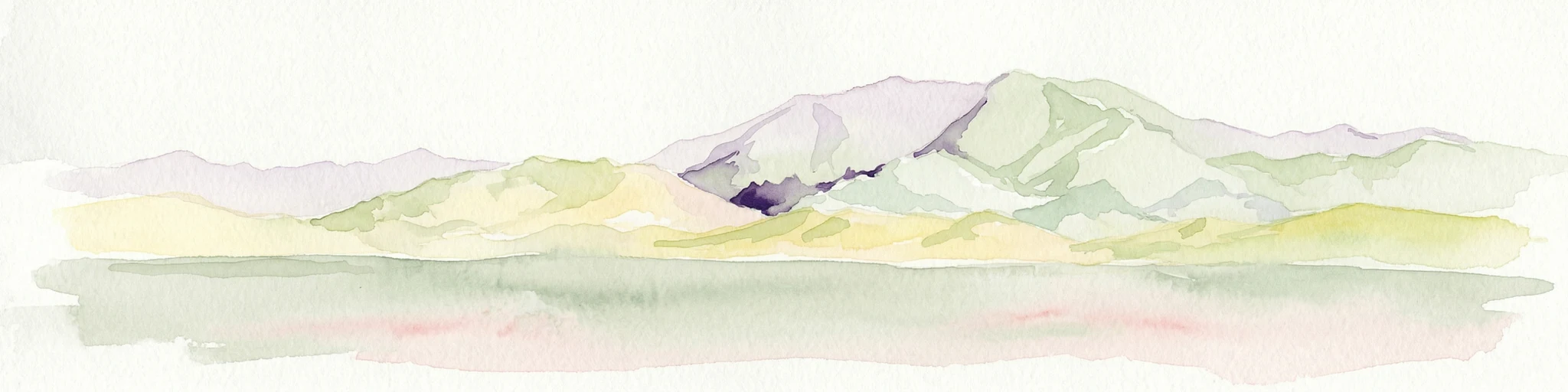
Watercolor illustration of mountain ranges with green and yellow hills, a central dark peak, and pinkish foreground
National park
87 km away#1 closest

West

San Guillermo National Park: High Andes Protected Landscape & Vicuña Conservation Area

Explore its rugged terrain and arid mountain ecosystem.

San Guillermo National Park, a key national park in Argentina's San Juan Province, protects over 166,000 hectares of high-altitude Andean wilderness. Its landscape is defined by arid mountain ranges and expansive puna grasslands, serving as a critical sanctuary for vicuñas and other high-Andean wildlife. This page offers detailed geographic context for understanding the park's protected boundaries, unique terrain, and its importance as a mapped conservation area.

Area
1,660 km²
Established
1998
IUCN
II
Relief
Mountain
National park
219 km away#2 closest

Southwest

El Leoncito National Park: High-Altitude Andean Puna and Steppe Protected Landscape

Explore mapped boundaries and unique geographic context in San Juan Province.

El Leoncito National Park in Argentina's San Juan Province preserves critical high-altitude ecosystems, including the Central Andean Puna and Southern Andean steppe. This protected landscape spans dramatic mountain terrain, with elevations reaching over 6,000 meters, providing a unique geographic setting. The park's conservation value is underscored by its representative ecological samples and stark natural beauty, offering a distinct regional geography for exploration.

Area
897.06 km²
Established
2002
IUCN
II
Relief
Mountain
National park
247 km away#3 closest

South

Sierra de las Quijadas National Park: Protected Landscape & Geographic Atlas in Argentina

Explore the unique Chaco-Monte ecotone and dramatic sandstone terrain.

Sierra de las Quijadas National Park in San Luis Province, Argentina, is a protected area recognized for its critical role as a biodiversity bridge between the Semiarid Chaco and High Monte ecoregions. Its landscape is marked by rugged mountains, vivid red sandstone cliffs, and significant paleontological sites, offering a unique look at Cretaceous-era geology. This park provides a rich opportunity for atlas exploration, allowing discovery of its distinctive protected landscape and the regional geography it inhabits.

Area
735.33 km²
Established
1991
IUCN
II
Relief
Mountain
National parkAtacama Region
254 km away#4 closest

North

Nevado Tres Cruces National Park: National Park in Atacama Region's Mapped Geography

Explore protected landscapes and regional park context.

Nevado Tres Cruces National Park is a significant protected national park situated within the Atacama Region of Chile. This entry provides essential geographic context, detailing the park's mapped boundaries and its contribution to the region's conservation landscape. Understand its place within the broader atlas of protected areas, focusing on the natural terrain and the distinct geography that characterize this important national park.

Area
591 km²
IUCN
II
Relief
Mountain
Climate
Alpine
National parkTucumán Province
279 km away#5 closest

Northeast

Aconquija National Park: Southern Andean Yungas Protected Landscape in Tucumán Province

Explore its montane forest and mapped geographic context.

Aconquija National Park is a significant federal protected area located in Tucumán Province, Argentina. This national park is dedicated to conserving the diverse Southern Andean Yungas montane forest ecosystem, characterized by a dramatic elevational gradient. Its landscapes transition from cloud forest to high alpine terrain, offering a unique opportunity to study and appreciate a well-preserved montane environment within a critical geographic region. Discover the mapped extent and ecological importance of this protected area.

Area
700 km²
Established
1995
IUCN
II
Relief
Mountain
National parkAtacama Region
303 km away#6 closest

Northwest

Llanos de Challe National Park: Unique Coastal Desert and Lomas Ecosystem

Atacama Region National Park with Dramatic Terrain and Wildlife

Llanos de Challe National Park presents a rare protected coastal desert environment within the Atacama Region. Its unique lomas ecosystem, sustained by coastal fog, supports a surprising diversity of life. The park encompasses striking geographic features, from unspoiled white-sand beaches to rugged mountainous terrain, offering a clear example of a vital protected landscape with significant guanaco populations and unique flora, all mapped within its regional context.

IUCN
II
Relief
Mixed relief
Climate
Arid
Scope
Mixed
National parkCórdoba Province
About 330 km away#7 closest

Southeast

Quebrada del Condorito National Park: Mapped Protected Landscape and Biological Island Ecosystem

Argentina National Park in Córdoba Province

Quebrada del Condorito National Park is a federally protected area in Argentina's Córdoba Province, established to safeguard a significant portion of the Sierras Pampeanas mountain ecosystem. The park's rugged terrain, including deep gorges and high-altitude plateaus, creates a distinct biological island environment supporting a wealth of endemic species. Its geographic isolation and dramatic landscape make it a unique focus for protected-area discovery and understanding Argentina's natural geography.

Area
373.44 km²
Established
1996
IUCN
II
Relief
Mountain
Watercolor illustration of a river winding through a valley with rolling hills and green vegetation in the foreground.
National parkCoquimbo Region
336 km away#8 closest

West

Bosque de Fray Jorge National Park: National Park Protected Landscape & Geographic Atlas

Explore mapped boundaries and regional natural landscape context.

Bosque de Fray Jorge National Park is a key protected area offering unique insights into Chile's natural landscapes. This entry provides detailed geographic context, focusing on its status as a national park and its mapped boundaries within the Coquimbo Region. Discover its place in the regional atlas and understand its protected landscape identity for focused geographic exploration.

Area
100 km²
Established
1941
IUCN
II
Visitors
13.1K annual
MoriAtlas Explorer

Continue exploring Talampaya National Park's dramatic desert canyons and paleontology

Deepen your understanding of Talampaya National Park by exploring its specific mapped geography and protected landscape features. Delve into the unique desert canyon terrain and the scientific significance of its paleontological record. This park offers a rich case study for appreciating the atlas of Argentinian natural and protected areas, highlighting the importance of its regional context and landscape features for discovery.