Mori Atlas logo
Nearby park discovery

Mapping regional biodiversity, riparian corridors, and protected forest geography

Protected Landscapes and Nature Reserves Located Near Tiergarten in Brandenburg, Germany

This geographic overview provides a curated look at nature reserves and protected areas situated within the vicinity of Tiergarten in Brandenburg. Users can identify neighboring ecological zones, study regional landscape distribution, and observe the spatial relationship between Tiergarten and other nearby sites of conservation significance.

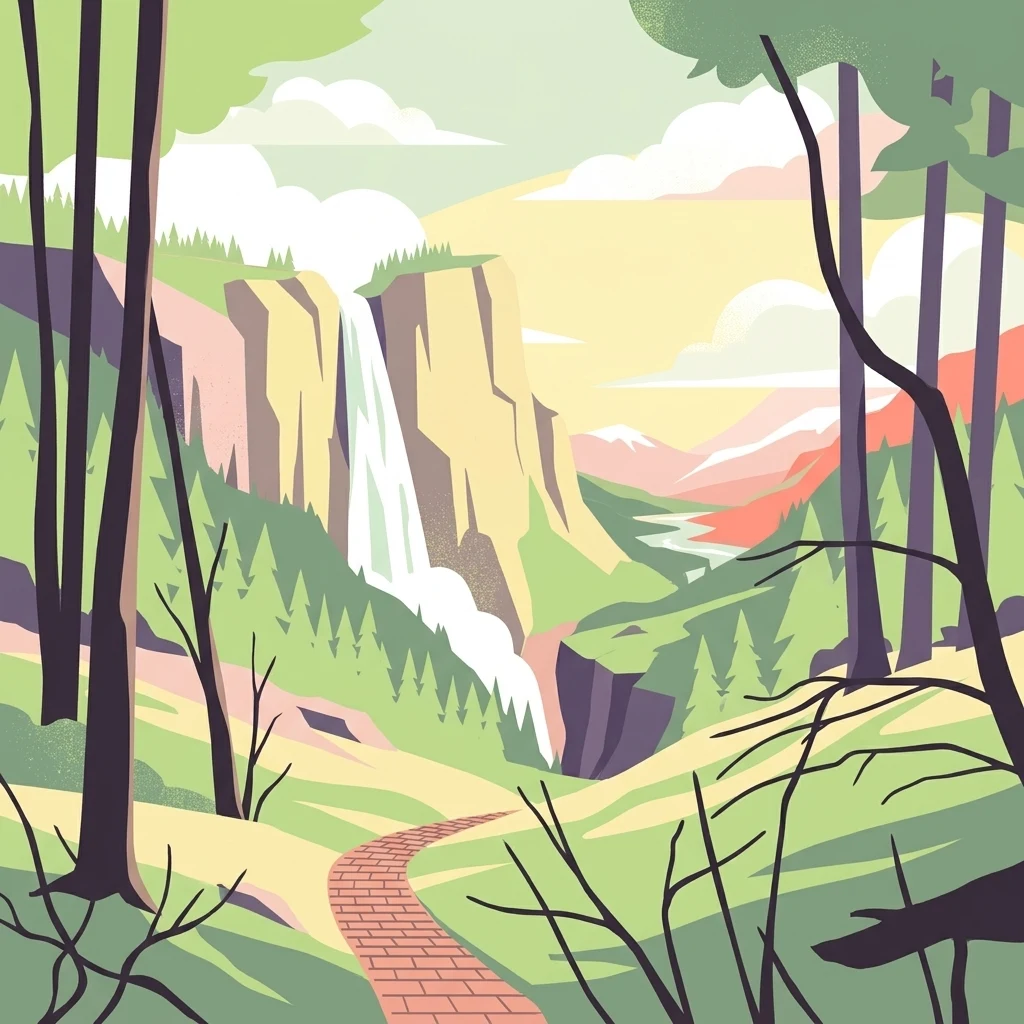
An illustration of a natural valley featuring a tall waterfall dropping off a cliff, surrounded by a forest and a paved brick walking path in the foreground.

A historic Brandenburg hunting forest turned biodiverse nature reserve along the Dahme river.

Tiergarten

Tiergarten is a nature reserve and recreation area in the town of Königs Wusterhausen, in the Dahme-Spreewald district of Brandenburg, Germany. Its landscape is defined by an old oak forest at the heart of the protected area, interspersed with wetlands, lakes, and riparian zones along the river Staabe (a branch of the Dahme) and around the Krimnicksee and Krüpelsee lakes. The reserve developed from a nearly three-hundred-year-old royal hunting forest established by King Friedrich Wilhelm I and is today recognized for its mosaic of rare woodland, wet meadow, and aquatic habitats. The site carries both national nature-protection status under Brandenburg law and European protection as part of the Natura 2000 network. It is valued for its complex mix of oak-hornbeam forest, alder swamp woodland, wet meadows, reed beds, and small flowing waters. Beyond its ecological importance, the Tiergarten hosts a network of walking trails, a forest nature trail, and a sculpture path that highlights the reserve's cultural and historical stories. At roughly 158 hectares, the Tiergarten remains a compact but ecologically rich refuge near the southern outskirts of Berlin, where historic landscapes shaped by royal forestry have evolved into habitats of high conservation value.

Location
Germany
Park type
Nature reserve
Established
1995
Area
1.6 km²
Explore Tiergarten Nature Reserve Geography
Regional park map

See the ranked park cluster in its geographic setting

Nearby parks around Tiergarten

This regional map shows the same 20 nearby parks ranked below around Tiergarten. Select a ranked marker to highlight that park’s boundary where boundary data is available.
Reference park: TiergartenRanked nearby parkSelected boundary: Tiergarten20 nearby parks shown
20 nearby parks

Explore surrounding protected landscapes and mapped regional distances relative to Tiergarten

Parks Near Tiergarten: Ranked Protected Areas and Regional Geography

Examine a ranked selection of protected areas located geographically near Tiergarten to understand surrounding regional park geography. Structured distance measurements and environmental characteristics provide reliable comparison signals across nearby conservation zones.
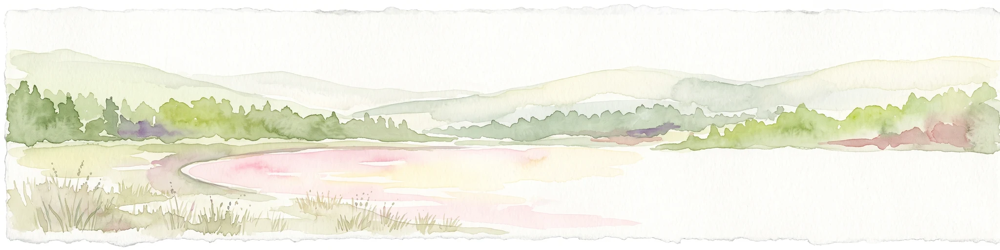
A horizontal watercolor illustration depicting a soft, serene landscape with green trees, pink flowering trees, and gentle hills on a white background.
Nature reserveBrandenburg
3.9 km away#1 closest

East

Skabyer Torfgraben Nature Reserve: Geographic Mapping and Protected Area Overview

Wetland landscape corridors within Brandenburg, Germany

The Skabyer Torfgraben nature reserve provides a focused look at lowland stream ecosystems and rare through-flow peatland remnants. This protected area in the Dahme-Spreewald region serves as a crucial habitat mosaic, blending sandy birch-oak forests with sedge-dominated wet meadows. Examine its natural terrain and hydrological connections to the Dahme river within the context of German protected landscapes.

Area
3.049 km²
Established
1998
IUCN
IV
Relief
Lowland
Nature reserveSchleswig-Holstein
About 5.3 km away#2 closest

Northwest

FFH-Gebiet Wellspanger-Loiter-Oxbek-System und angrenzende Wälder Protected Landscapes

Schleswig-Holstein nature reserve map and geography

This protected area bundles a wide range of priority habitat types, including calcareous springs, inland dunes, and old-growth beech forests. Spanning the Angeln peninsula, the site protects a hydrological backbone of stream systems and rare wet meadows that remain critical for regional biodiversity in Northern Germany.

Area
14.34 km²
Established
2004
Relief
Upland
Climate
Temperate
Nature reserveBrandenburg
6.1 km away#3 closest

Southeast

Dolgensee Nature Reserve: Mapped Protected Landscapes and Wetland Geography in Brandenburg, Germany

Protected lake basin, reedbeds, and inland dune grassland

Located in the Brandenburg state of Germany, Dolgensee Nature Reserve offers a rare mosaic of wetland and dry grassland habitats. The site centers on a nutrient-rich lake basin featuring extensive reedbeds and alder swamp, which transitions into open inland dune ecosystems. This protected area represents a significant example of natural lake basin preservation within the larger Dahme-Heideseen landscape, providing a crucial habitat for various waterbird and aquatic wildlife species.

Area
3.085 km²
Established
1995
IUCN
IV
Relief
Lowland
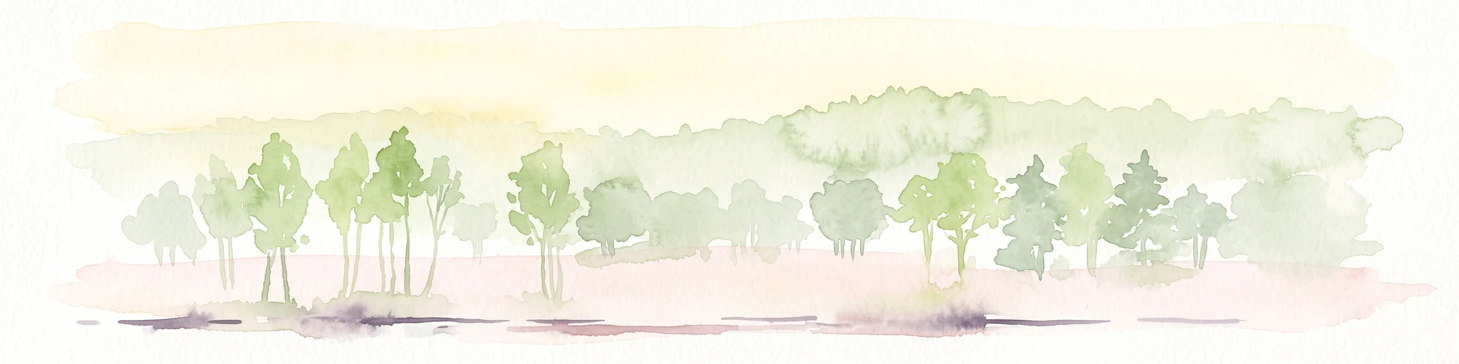
A soft watercolor illustration of a lowland wetland landscape with a small pool of water, grasses, and scattered trees under a light sky.
Nature reserveBrandenburg
About 8.1 km away#4 closest

Northwest

Flutgrabenaue Waltersdorf Nature Reserve: Protected Wetland Geography and Regional Atlas

A significant floodplain sanctuary in the Brandenburg lowlands.

Flutgrabenaue Waltersdorf represents an ecologically rich lowland floodplain featuring sinuous watercourses, alder swamps, and traditional meadow habitats. Located south of Berlin, this reserve provides a vital geographic contrast to the urbanized infrastructure of the Brandenburg region. Use this overview to study the boundary, terrain characteristics, and regional importance of this protected marshland landscape.

Area
2.88 km²
Established
1998
IUCN
IV
Relief
Lowland
A wide watercolor illustration showing a calm lake with small tree-covered islands, bordered by green forests and distant hills under a pale sky.
Protected areaBrandenburg
9.3 km away#5 closest

North

Wernsdorfer See Protected Area: Geographic Mapping and Landscape Context in Brandenburg

Glacial wetland mosaic featuring dunes and reedbeds

Wernsdorfer See is an essential nature reserve in Brandenburg that showcases a rare mix of habitats, from open sandy dunes and grasslands to shallow marshland and reedbeds. Managed as part of the Natura 2000 network, the site serves as a vital refuge for bird species and rare wetland flora. This overview traces the geography and terrain of the Spree valley lowland, offering a structured perspective on its conservation landscape.

Area
1.387 km²
Established
1967
Relief
Lowland
Climate
Temperate
Nature reserveBrandenburg
10 km away#6 closest

South

Töpchiner Seen Nature Reserve: Geographic Overview of Brandenburg Protected Landscapes

A glacial landscape mosaic of lakes, fens, and woodlands

Located in the Dahme-Spreewald district, Töpchiner Seen is a vital nature reserve showcasing deep peat deposits and diverse wetland vegetation. The protected area features a layered terrain, where open water connects to transition mires, calcareous meadows, and mature oak and pine forests, providing a stable habitat for specialized flora and fauna within the broader Brandenburg geography.

Area
3.75 km²
Established
1988
Nature reserveBrandenburg
11 km away#7 closest

Southeast

Katzenberge Nature Reserve: An Atlas of Glacial Moraine Woodlands in Brandenburg Germany

Protected oak forest habitats within the Dahme-Spreewald landscape

Katzenberge offers a focused look at the conservation of mature deciduous forest environments on sandy moraine soils. As a designated nature reserve within the Brandenburg region, the area serves as a primary reference point for studying habitat continuity and the unique glacial terrain that defines the south-eastern lowlands near the Dahme river.

Area
1.44 km²
Established
2004
IUCN
IV
Relief
Upland
A watercolor painting showing a soft, abstract landscape with rolling hills, a central body of water, and a tree-lined shoreline.
Nature reserveBerlin
11 km away#8 closest

North

Krumme Lake Nature Reserve: Geographic Overview and Protected Wetland Boundaries in Berlin

A preserved mosaic of alder swamp forest and Dahme floodplain habitat

Krumme Lake preserves a dense network of wetland habitats within the pine-dominated forests of Berlin's Treptow-Köpenick borough. This protected nature reserve integrates groundwater-influenced ecosystems and riparian forest remnants, providing a sanctuary for diverse amphibians and invertebrates that have become increasingly rare in surrounding urbanized landscapes.

Area
0.452 km²
Established
2004
IUCN
IV
Relief
Lowland
Nature reserveBrandenburg
11 km away#9 closest

East

Swatzke- und Skabyberge Nature Reserve and Protected Inland Dune Geography in Brandenburg

Mapping the sand heaths and forest ecosystems of northeastern Germany

Swatzke- und Skabyberge is a designated nature reserve in Brandenburg that preserves a rare inland dune complex. Originally shaped by long term military usage, this protected land now functions as a vital habitat for dry acid grasslands, lichen-rich pine forests, and wetland woodland fringes. It provides a unique study in how sand, fire, and moisture processes maintain biodiversity within the lowland German landscape.

Area
5.2 km²
Established
1999
IUCN
IV
Nature reserveBrandenburg
12 km away#10 closest

South

Stintgraben Nature Reserve: Protected Stream Landscapes in Southern Brandenburg

Ecological connectivity between glacial lakes and river corridors.

Located in the Dahme-Spreewald district, Stintgraben is a protected stream corridor defined by its lowland riparian habitats and position between the Klein Köriser See and the Dahme river. This nature reserve provides essential ecological continuity within the broader Dahme-Heideseen region, offering a clear example of how small-scale protected areas maintain the natural integrity of Germany's glacial lake districts.

Area
1.09 km²
Established
1995
IUCN
IV
Nature reserveSchleswig-Holstein
About 12 km away#11 closest

Northwest

FFH-Gebiet Übergangsmoor im Kropper Forst: Protected Landscape and Mire Geography

A study of transitional mire habitats in Schleswig-Holstein.

This protected area centers on a treeless mire depression embedded within the coniferous Gehege Kropp forest. Covering 18 hectares of glacial terrain, the site illustrates the delicate balance of mire hydrology and the long-term ecological impact of regional landscape management in northern Germany.

Area
0.18 km²
Established
2004
Relief
Lowland
Climate
Temperate
Nature reserveBrandenburg
12 km away#12 closest

South

Naturschutzgebiet Löptener Fenne, Wustrickwiesen: Mapped Geography and Protected Landscapes

Glacial mire and wetland systems in Brandenburg, Germany

The Naturschutzgebiet Löptener Fenne, Wustrickwiesen nature reserve provides a critical look at terrestrialized mire landscapes. Beneath its surface lie deep layers of lake-derived mud, marking this site as a key reference for understanding glacial meltwater history in eastern Germany. Today, the area serves as a focal point for active peatland renaturation and habitat management within the Dahme-Spreewald district.

Area
2.18 km²
Established
1998
IUCN
IV
Relief
Lowland
Protected areaSchleswig-Holstein
13 km away#13 closest

Northwest

Wälder der Ostenfelder Geest: Geographic Mapping of Protected Forests in Northern Germany

A twelve-parcel woodland mosaic in the Schleswig-Holstein Geest.

Wälder der Ostenfelder Geest serves as a prime example of lowland conservation. This protected area connects diverse forest types across a glacial landscape, providing a stable habitat for beech and oak woodland communities while preserving the historic character of the Bredstedt-Husumer terrain.

Area
7.33 km²
Established
2004
Relief
Lowland
Climate
Temperate
A horizontal watercolor painting depicting a soft, rolling landscape with green trees in the foreground, a light-colored meadow or field in the midground, and distant muted hills in the background.
Protected areaSchleswig-Holstein
About 13 km away#14 closest

Northwest

FFH-Gebiet Wälder der Hüttener Berge: Protected Area and Glacial Moraine Atlas

Ancient beech woodland mosaics in Schleswig-Holstein.

FFH-Gebiet Wälder der Hüttener Berge comprises eleven distinct state forest parcels stretching across northern Germany. This atlas entry details the site's rich habitat structure, including rare Atlantic beech forests, transition mires, and glacial soils, providing essential geographic context for this vital Natura 2000 protected territory.

Area
4.16 km²
Established
2004
Relief
Upland
Climate
Temperate
A horizontal watercolor painting of a calm river or wetland area with trees, shoreline grasses, and rolling hills in the background, executed in a soft, muted style.
Nature reserveBerlin
About 14 km away#15 closest

North

EU-Vogelschutzgebiet Müggelspree: Protected Nature Reserve and Spree Valley Geography

Bird sanctuary and wetland landscape in southeastern Berlin

As a protected bird sanctuary within the European Natura 2000 network, the EU-Vogelschutzgebiet Müggelspree features an intricate mix of river corridors, fens, and pine forests. This reserve maintains significant ecological connectivity through the Spree lowlands, providing stable breeding and passage environments for numerous avian species. Its unique landscape architecture offers a clear view into the intersection of glacial sand formations and active floodplain ecosystems on the outskirts of Berlin.

Area
8.002 km²
Established
1997
Nature reserveBerlin
14 km away#16 closest

North

Teufelsseemoor Köpenick: Protected Kettle Bog Geography and Urban Wetland Atlas

Glacial landscape and conservation zone in Berlin, Germany

Teufelsseemoor Köpenick is a key nature reserve in Berlin that showcases the transition from post-glacial kettle hole to a thriving peatland and swamp forest. This protected area stands out for its ecological gradient and serves as a model of urban wilderness conservation. The site is defined by the contrast between its still waters and the surrounding moraine ridges of the Müggelberge.

Area
0.065 km²
Established
2016
IUCN
IV
Nature reserveBrandenburg
About 14 km away#17 closest

Southeast

Streganzsee-Dahme Nature Reserve: Mapping Brandenburg Protected River Landscapes and Dunes

An ecological mosaic in the Dahme-Spreewald river corridor

Streganzsee-Dahme represents an intact Brandenburg riverine corridor characterized by sharply varied topography. The reserve encompasses water bodies, floodplain forests, fens, and dry sandland heaths. Its protected boundaries connect various biotopes, offering an essential look at the region's diverse lowland ecology and the structured geography of the local conservation network.

Area
4.36 km²
Established
1999
IUCN
IV
Relief
Lowland
Nature reserveSchleswig-Holstein
16 km away#18 closest

Northwest

Wälder im Süderhackstedtfeld: Protected Nature Reserve and Geest Landscape Atlas

Examining forest habitats in northern Schleswig-Holstein

Trace the boundaries of Wälder im Süderhackstedtfeld, a notable nature reserve in Schleswig-Holstein. This site contains priority atlantic beech and oak forest types within a classic glacial ridge topography, showcasing long-term woodland continuity and structured forest restoration within a compact geographic footprint.

Area
0.76 km²
Established
2004
Relief
Upland
Climate
Temperate
Nature reserveBrandenburg
17 km away#19 closest

East

Groß Schauener Seenkette Nature Reserve: Mapped Wetlands and Brandenburg Lake Geography

An undisturbed chain of shallow lakes and protected fen landscapes

This protected nature reserve in Brandenburg preserves a vital chain of six interconnected lakes. The geography is defined by extensive reedbeds, sedge stands, and rare inland saline meadows, providing a crucial habitat mosaic. Learn how these wetlands connect to the surrounding Dahme-Heideseen region through a network of terrain-focused conservation areas and historic trails.

Area
21.249 km²
Established
2000
Relief
Lowland
Climate
Temperate
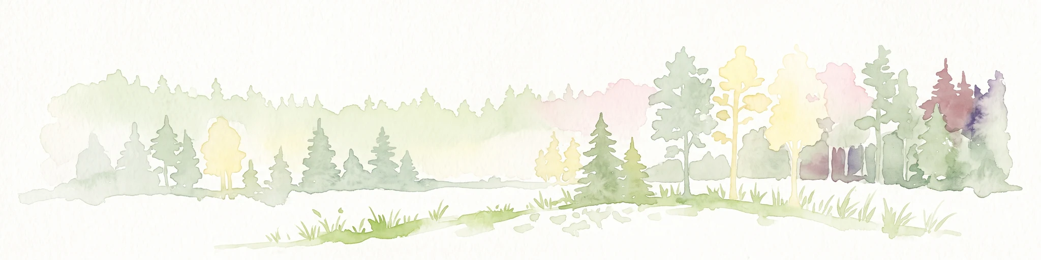
A horizontal watercolor painting showing a soft, fading line of forest trees, including conifers and yellow-leaved deciduous trees against a plain white background.
Nature reserveBrandenburg
17 km away#20 closest

Southwest

Kleine und Mittelleber Nature Reserve: Brandenburg Wetland and Mire Landscape Mapping

Ecological terrain analysis of a protected post-glacial site

Kleine und Mittelleber is a significant nature reserve in Brandenburg that preserves a rare sequence of silted-up lake basins and active peat-forming bogs. The area provides a detailed window into the interplay of transitional mire systems, floating mat bogs, and pine-fringed woodlands. Through its status as a European FFH site, it serves as a vital case study for the conservation of wetland habitats and the restoration of natural hydrological processes in post-industrial forest landscapes.

Area
0.665 km²
Established
1995
Distance methodology

Geographic measurements, not driving distances

How nearby park distances are calculated

Distances use park boundaries whenever the available geometry allows it. When one or both boundaries are missing, the mapped park locations provide a clearly labelled estimate. Every value represents straight-line geographic separation and does not use roads or routing.

Boundary distance

Calculated between the nearest points of both park boundaries.

Location-to-boundary estimate

Estimated from one mapped park location to the nearest boundary of the other park.

Mapped-location estimate

Estimated between the mapped locations of both parks.

MoriAtlas Explorer

Trace the Protected Boundaries and Natural Terrain of the Tiergarten Nature Reserve

Continue exploring the intricate geography of the Tiergarten nature reserve through MoriAtlas. Examine how this historic royal hunting forest sustains vital woodland and wetland corridors, providing an essential look at biodiversity protection in the Brandenburg region.