Mori Atlas logo
National parkTöfsingdalen National Park

Discover the dramatic valley landscape and mapped protected boundaries of Dalarna County's untouched national park.

Töfsingdalen National Park: Ancient Old-Growth Forest in Remote Wilderness Terrain

Töfsingdalen National Park represents a rare pocket of near-pristine wilderness in Sweden's Dalarna County. This national park is defined by its ancient, up-to-500-year-old pine forest set within extremely rugged, boulder-strewn valley terrain. Explore the park's remote geography, mapped boundaries, and unique ecosystem, a testament to untouched boreal landscapes and their conservation within the larger atlas of protected areas.

old-growth forestremote wildernessboreal forestmountain landscapenature conservationtransboundary protected area

Töfsingdalen National Park

National park

Park overview

Structured park overview, official facts, and landscape profile for Töfsingdalen National Park

Töfsingdalen National Park park facts, protected area profile, and essential visitor context
Review the core facts for Töfsingdalen National Park, including designation, size, terrain, visitor scale, habitats, and operating context in one park-focused overview.

About Töfsingdalen National Park

Töfsingdalen National Park protects one of Sweden's most remote and ecologically significant wilderness valleys. Located in the western part of Dalarna County, the park occupies a dramatic landscape of deep valleys, steep rocky slopes, and extensive boulder fields created by ancient glacial processes. The terrain is described as exceptionally difficult to traverse, with large blocks of crystalline bedrock scattered across the landscape and few established trails. This remoteness has been the key to the park's conservation value, as the forest has never been subjected to significant commercial forestry operations. The valley floor follows the Töfsingån river, which drains the surrounding highland and flows through a landscape of remarkable ecological variation. Along the river corridor, the forest shifts from the dominant pine of the slopes to more productive spruce-dominated woodland, supported by the richer soils and moisture availability of the riparian zone. The park lies within the broader Långfjället nature reserve and forms part of the transboundary Gränslandet conservation landscape that includes Rogen in neighboring Härjedalen and Femundmarka in Norway, creating a large cross-border wilderness area of significant ecological and recreational importance.

Quick facts and research context for Töfsingdalen National Park

Töfsingdalen National Park covers 16.15 square kilometers in Dalarna County, Sweden, established in 1930. The park is managed by Naturvårdsverket (Swedish Environmental Protection Agency) and is located within Älvdalen Municipality. It forms part of the Långfjället nature reserve and is contiguous with protected areas in Härjedalen and across the Norwegian border. The landscape is characterized by large boulder fields, steep valley sides, and the Töfsingån river flowing through the valley floor. The terrain is described as very difficult to traverse, with the park lying far from the nearest road.

Park context

Deeper park guide and search-rich context for Töfsingdalen National Park

Töfsingdalen National Park history, landscape, wildlife, and travel context
Explore Töfsingdalen National Park through its history, landscape character, ecosystems, wildlife, conservation priorities, cultural context, and seasonal travel timing in a structured park guide built for atlas discovery and search intent.

Why Töfsingdalen National Park stands out

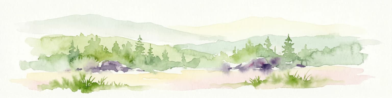
Töfsingdalen is best known for its ancient old-growth pine forest growing in extremely rugged, boulder-strewn terrain. The forest features trees up to 500 years old, with silver-grey deadwood abundant on both standing and fallen trees throughout the slopes. The park is notable for the presence of wolf lichen, a rare and toxic species that grows on ancient trees in the forest. Its extreme remoteness and difficult access have made it Sweden's least-visited national park, preserving a near-wilderness character. The valley also supports lush coniferous forest along the Töfsingån river, where rich soil and underlying bedrock create unusually diverse herbaceous vegetation for the region.

Töfsingdalen National Park history and protected-area timeline

Töfsingdalen was established as a national park in 1930, making it one of the older protected areas in Sweden's national park system. At the time of its designation, the park was recognized for its remarkable old-growth forest and pristine wilderness character, even as Sweden was beginning to develop more systematic approaches to nature conservation. The establishment came during a period when Sweden was creating its first national parks, with Töfsingdalen included among the initial wave of protections. The park was later incorporated within the larger Långfjället nature reserve, which expanded the conservation framework around the valley. The Swedish Environmental Protection Agency (Naturvårdsverket) maintains oversight of the park as part of the national park system, with management focused on preserving the natural state of the forest and allowing natural ecological processes to continue without significant human intervention.

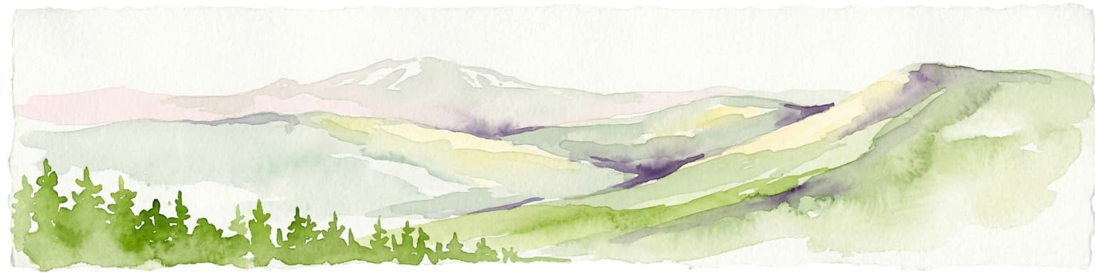
Töfsingdalen National Park landscape and geographic character

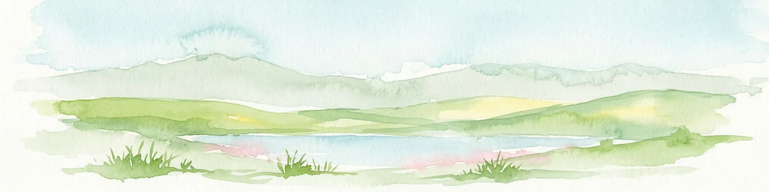
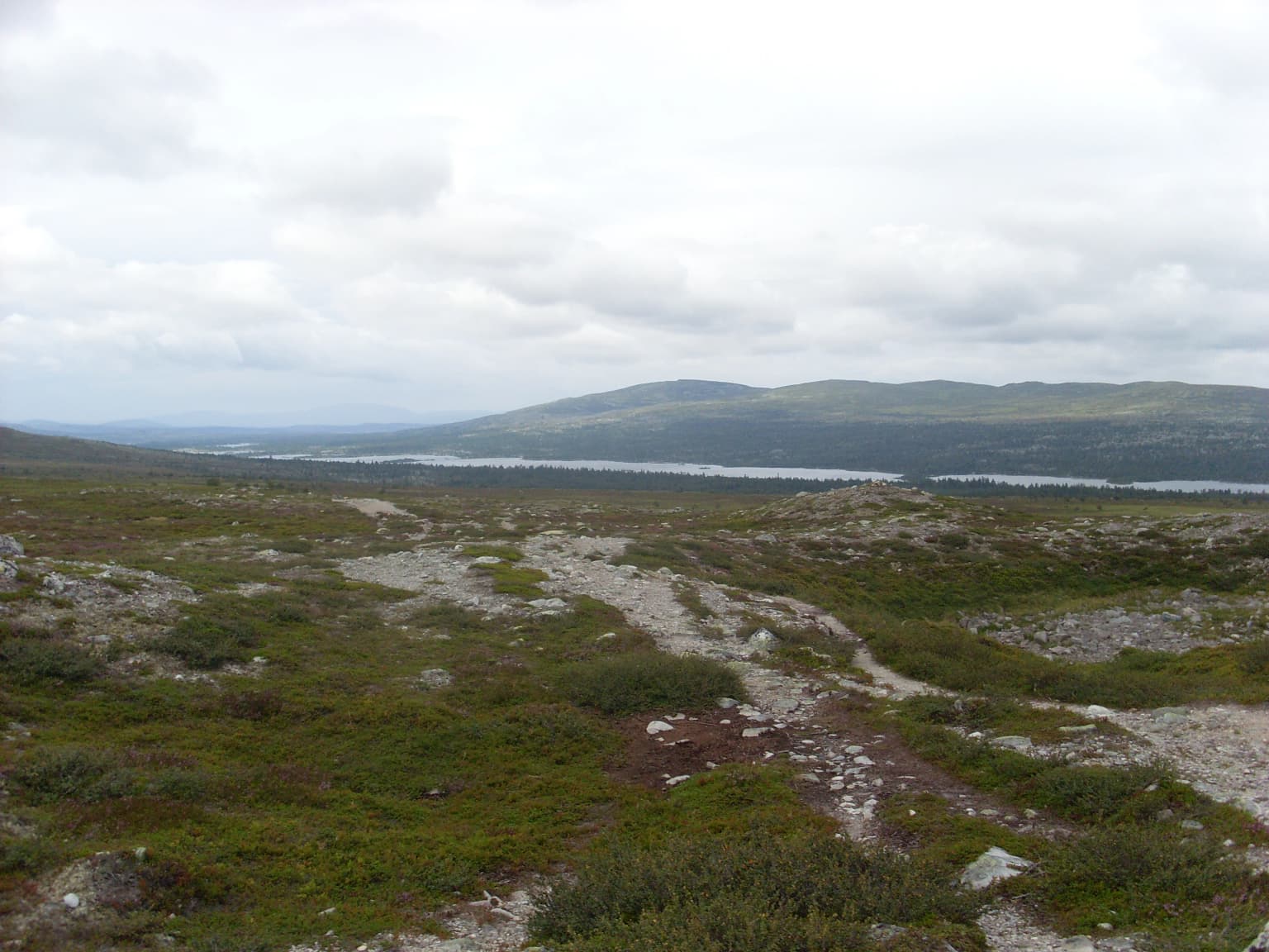
The landscape of Töfsingdalen is defined by its steep-sided valley carved by glacial forces, with the valley floor occupied by the Töfsingån river and flanked by slopes covered in extensive boulder fields. The terrain is characterized by large, angular blocks of crystalline bedrock typical of the Caledonian mountain range's southern margins, creating a landscape that is both visually dramatic and extremely challenging to traverse on foot. The valley sits at relatively high elevation for southern-central Sweden, with the surrounding terrain rising into heathlands and alpine-like conditions at higher elevations. The combination of steep slopes, massive boulder accumulations, and the meandering river corridor creates a landscape of considerable topographic diversity within a relatively compact area. Rock outcrops and cliff faces punctuate the forest cover, adding vertical dimension to the otherwise heavily wooded terrain.

Töfsingdalen National Park ecosystems, habitats, and plant life

The ecological character of Töfsingdalen is defined by its old-growth pine forest, which represents one of the finest remaining examples of this forest type in Sweden. The forest on the valley slopes is dominated by Scots pine growing on thin soils over bedrock, with trees that have developed slowly in the harsh conditions and reached ages of up to 500 years. The forest has a very high density of dead wood, both standing snags and fallen logs, giving the woodland a silver-grey character as the dead wood weathers in the mountain climate. Along the Töfsingån river, the conditions shift markedly to support more vigorous spruce forest with greater productivity and a richer understory of herbaceous plants. This riparian zone supports species rare in the broader region, including spring buttercup, a plant that is very uncommon in this part of Sweden. The underlying geology, rich in certain minerals, contributes to the unusual botanical diversity of the river corridor.

Töfsingdalen National Park wildlife and species highlights

The remote and rugged nature of Töfsingdalen provides suitable habitat for some of Sweden's more elusive large mammals. The park is known to support populations of brown bear, wolverine, wolf, and golden eagle, species that benefit from the extensive undisturbed terrain and the relative lack of human disturbance. The boulder-strewn terrain and dense forest cover create ideal conditions for these more reclusive species, particularly the wolverine and golden eagle which favor the combination of remote terrain and adequate prey populations. The old-growth forest structure, with its abundance of dead wood, also supports a variety of wood-dependent organisms including insects and fungi that form important links in the forest food web. While the English source provides limited specific wildlife detail, the Swedish source emphasizes the significance of the terrain for more people-shy animal species.

Töfsingdalen National Park conservation status and protection priorities

Töfsingdalen represents an important conservation value within Sweden's protected area network due to its near-pristine old-growth forest ecosystem and the extreme difficulty of the terrain, which has largely excluded human impact. The forest has never been subject to significant commercial forestry, allowing natural ecological processes to proceed without substantial modification. The presence of rare species such as wolf lichen on ancient trees indicates the ecological continuity of the forest and its suitability for species that require very old trees and abundant dead wood. As part of the larger Gränslandet transboundary conservation complex, Töfsingdalen contributes to a larger landscape-scale approach to wilderness protection that crosses the Swedish-Norwegian border. The park's designation as a Category II protected area under the IUCN system reflects its primary purpose of ecosystem conservation and its management approach oriented toward maintaining natural conditions.

Töfsingdalen National Park cultural meaning and human context

Töfsingdalen lies within the traditional cultural landscape of Dalarna, a region of central Sweden known for its distinctive folk traditions, wooden churches, and historical association with logging and mountain farming. The valley name Töfsingdalen derives from the local term for the area, literally meaning The Töfsing Valley in Swedish. The park falls within Idre socken (parish), part of the broader Älvdalen Municipality that has been inhabited through seasonal mountain use and logging activities for centuries. While the national park itself was designated to protect the natural environment, the surrounding region carries evidence of traditional land use practices. The park can be accessed via hiking trails from Grövelsjön or Storån, connecting to a network of paths that have been used for recreation and wilderness travel in this borderland area.

Top sights and standout views in Töfsingdalen National Park

Töfsingdalen offers a rare combination of extremely old trees, near-total wilderness character, and remarkable remoteness within Sweden's protected area system. The ancient pine forest with trees up to 500 years old, the abundance of dead wood supporting specialized organisms, and the dramatic boulder-strewn terrain together create a landscape of high conservation value. The transboundary Gränslandet connection adds ecological significance at a larger scale. The park is distinguished by its extremely low visitation compared to other Swedish national parks, a direct result of its remote location and the challenging terrain that requires determined effort to explore.

Best time to visit Töfsingdalen National Park

Töfsingdalen can be visited during the warmer months from late spring through early autumn, with the primary hiking season typically spanning June to September. The high-elevation location means that snow can persist well into May, and the mountain climate brings cold conditions even in midsummer. Winter access is extremely limited due to deep snow and the remote location far from maintained roads. The summer months offer the best conditions for hiking and wildlife observation, though the park's rugged terrain and limited trail network require appropriate preparation and navigation skills.

Park location guide

Geography guide, regional context, and park location map for Töfsingdalen National Park

Töfsingdalen National Park park geography, regions, and map view in Sweden
Understand where Töfsingdalen National Park sits in Sweden through a broader geographic reading of the surrounding landscape, nearby location context, and its mapped position within the national park landscape.

How Töfsingdalen National Park fits into Sweden

Sweden, formally the Kingdom of Sweden, is a highly developed Nordic country on the Scandinavian Peninsula in Northern Europe. With a population of 10.6 million and an area of 450,295 km², it is the largest Nordic country by both area and population. Sweden is a constitutional monarchy with Stockholm as its capital and largest city, known for its advanced economy, social welfare system, and membership in the European Union and NATO.

Wider geography shaping Töfsingdalen National Park in Sweden

Sweden occupies the eastern portion of the Scandinavian Peninsula in Northern Europe. It borders Norway to the west and north, Finland to the east, and shares a maritime border with Denmark to the southwest across the Øresund. The country has an extensive coastline along the Baltic Sea and Gulf of Bothnia, dotted with thousands of islands. The terrain varies from mountainous regions in the northwest to low-lying coastal areas and inland lakes in the south and central parts.

Map view of Töfsingdalen National Park

Use this park location map to pinpoint Töfsingdalen National Park in Sweden, understand its exact geographic position, and read its mapped placement within the surrounding landscape more clearly.

Pigeon | © OpenStreetMap contributors

Location context for Töfsingdalen National Park

Älvdalen MunicipalityDalarna County
Park atlas

Trace surrounding protected landscapes, including Sweden's Dalarna County and the transboundary Gränslandet area.

Explore More National Parks and Protected Areas Near Töfsingdalen National Park
After exploring Töfsingdalen National Park's remote old-growth forests, continue your discovery by comparing other national parks and protected areas across Sweden's Dalarna County. Gain wider geographic context to understand regional conservation landscapes, tracing ecological variations among protected zones within this boreal mountain region.
National parkInnlandet

Femundsmarka National Park: Exploring Norway's Distinctive Wetland and Boreal Protected Landscape

Mapped boundaries and regional geography in Innlandet.

Femundsmarka National Park in Innlandet, Norway, offers a profound look into a preserved wetland wilderness characterized by vast marshlands, numerous lakes, and scattered boreal forests. As a designated national park, its ecological significance is tied to the surrounding water systems and the unique landscape stretching towards the Swedish border. This entry provides detailed geographic context, mapping information, and an understanding of its protected area status, inviting exploration of its remote boreal terrain and notable wildlife habitats.

Area
573 km²
Established
1971
IUCN
II
Relief
Mixed relief
National parkInnlandet

Gutulia National Park: Protected Southernmost Mountain Birch Forest Landscape Atlas

Explore Norway's unique subarctic forest geography and park boundaries.

Gutulia National Park stands as a key protected area within Norway's Innlandet region, distinguished by its role in preserving the country's southernmost mountain birch forest ecosystem. Covering approximately 23 square kilometers, this national park provides critical insights into subarctic forest ecology at the southern extent of its natural range. MoriAtlas enables detailed exploration of its mapped terrain and geographic context, offering a valuable resource for understanding this significant protected landscape.

Area
23 km²
Established
1968
IUCN
II
Scope
Terrestrial
National park

Sonfjället National Park: Mapped Alpine Terrain and Protected Landscape in Sweden

Explore the glacial geography and subalpine transition zones.

Sonfjället National Park is a key protected area in central Sweden, offering a unique glimpse into an alpine environment shaped by glacial forces. The park's landscape is characterized by the prominent Sånfjället mountain, steep glacial valleys, mires, and small lakes, showcasing raw, natural terrain. As a southern outpost for subalpine ecosystems, it presents a distinct ecological transition zone valuable for geographic discovery and understanding protected nature.

Watercolor illustration showing mountains, forests, and a river
National parkDalarna County

Fulufjället National Park: Protected Plateau Landscape and Transboundary Conservation in Dalarna County

Sweden's southernmost alpine plateau, mapped geography, and natural wonders.

Fulufjället National Park in Dalarna County, Sweden, protects a significant high plateau landscape, notable for its ancient sandstone geology and unique lichen-heath environments. This national park is home to Njupeskär, Sweden's tallest waterfall, and is part of a transboundary protected area with Norway. Explore the mapped terrain and distinct natural features of this important conservation area within the Scandinavian Mountains.

Area
385 km²
Established
2002
IUCN
II
Visitors
53K annual
Watercolor illustration of a mountainous landscape with a lake, green fields, and pink flowers
National park

Fulufjellet National Park: Protected Boreal Forest Landscape and Regional Geography

Explore mapped boundaries, rolling terrain, and transboundary conservation.

Fulufjellet National Park offers a detailed look at a protected boreal forest ecosystem in southeastern Norway. This page details the park's gently rolling hills, dominated by Norway spruce and Scots pine, interspersed with lakes and peat bogs. It highlights the park's designation as a national park, its establishment in 2012, and its contiguous protected status with Sweden's Fulufjället National Park, contributing to a significant transboundary conservation area. Users can explore its geographic features and protected landscape context within Scandinavia.

Area
82.5 km²
Established
2012
IUCN
II
Relief
Mountain
National park

Forollhogna National Park: Norway's Gently Rolling Alpine Protected Landscape Atlas

Explore unique terrain and vital wild reindeer habitat in Central Norway.

MoriAtlas provides structured geographic context for Forollhogna National Park, Norway's nineteenth national park. This area is best known for its distinctively gentle, rolling alpine terrain, a contrast to other Norwegian mountain ranges, and as a critical habitat for wild reindeer. Discover the park's unique landscape character, its role as a protected area, and the ongoing cultural traditions tied to its mountain pastures, all visualized within a comprehensive atlas framework.

Area
1,062 km²
Established
2001
IUCN
II
Watercolor illustration of mountains and valleys with green and purple terrain and pink-hued peaks
National parkTrøndelag

Skarvan and Roltdalen National Park: Protected Wilderness and Trøndelag Landscape Atlas

Explore extensive peatlands, alpine terrain, and regional geography.

The Skarvan and Roltdalen National Park detail page offers an atlas-driven exploration of this protected landscape in Norway's Trøndelag region. Discover its vast peatland systems, the intact Roltdalen valley, and its alpine environments. This page provides detailed geographic context and mapped features, highlighting the park's significance within the regional natural heritage.

Area
441.5 km²
Established
2004
IUCN
II
Relief
Mountain
Watercolor illustration of a lake surrounded by trees and distant hills with a soft sky
National parkGävleborg County

Hamra National Park: Ancient Forests, Mires, and Protected Landscape in Gävleborg County

Discover pristine Swedish nature and mapped park boundaries.

Hamra National Park in Gävleborg County, Sweden, protects an extraordinary natural landscape. At its heart lies a distinct moraine hill adorned with some of central Sweden's oldest coniferous trees, some reaching 400 years. Surrounding this ancient forest is a vast, unbroken expanse of mire and wetland, a landscape preserved from drainage and modification. This park offers a profound insight into pristine ecosystems and geographic context, making it a key destination for atlas exploration of protected natural areas.

Area
13.83 km²
Established
1909
IUCN
II
Relief
Lowland

Common questions about visiting, size, designation, and location context for Töfsingdalen National Park

Töfsingdalen National Park FAQs for park facts, access, geography, and protected area context
Find quick answers about Töfsingdalen National Park, including protected-area facts, park geography, trail and visitor context, and how the park fits into its surrounding country and regional landscape.
MoriAtlas Explorer

Continue Your Protected Areas Search Across the Global Atlas

Deepen your exploration by continuing the structured search for national parks and protected areas worldwide. Utilize the comprehensive filtering capabilities to compare different conservation landscapes and refine your understanding of global park geography. Discover more about the distribution and characteristics of protected natural areas.

Global natural geography