Mori Atlas logo
National parkGutulia National Park

Discover the geographic boundaries and landscape context of Norway's southernmost subarctic forest.

Gutulia National Park: Mapping Protected Mountain Birch Forests in Innlandet, Norway

Gutulia National Park represents a vital protected landscape within Norway's Innlandet region, safeguarding the country's southernmost mountain birch forest ecosystem. Established in 1968, this 23 square kilometer national park offers a unique geographic study area for understanding subarctic forest dynamics at the ecological edge of their distribution. Explore its mapped boundaries and the distinct rolling terrain that characterizes this significant natural heritage site.

National ParkNorwayInnlandetMountain Birch ForestIUCN Category IIProtected Area

Gutulia National Park

National park

Park overview

Structured park overview, official facts, and landscape profile for Gutulia National Park

Gutulia National Park park facts, protected area profile, and essential visitor context
Review the core facts for Gutulia National Park, including designation, size, terrain, visitor scale, habitats, and operating context in one park-focused overview.

About Gutulia National Park

Gutulia National Park is a relatively small but ecologically significant protected area in eastern Norway. Established in 1968, it was created specifically to preserve the southernmost occurrence of mountain birch forest in the country. This forest type, characterized by birch trees that have adapted to grow at high elevations and in subarctic conditions, represents an important ecological boundary. The park's terrain consists of rolling hills and forested landscapes typical of inland southern Norway, though its elevation and northern latitude give it a distinctly subarctic character. The protection of this area ensures that future generations can experience and study this unique transitional ecosystem where lowland and mountain forest environments meet.

Quick facts and research context for Gutulia National Park

Gutulia National Park is located in eastern Norway's Innlandet county, specifically within Engerdal Municipality. The park was established in 1968 and covers an area of 23 square kilometers. It is managed by Norway's Directorate for Nature Management and carries IUCN protected area category II designation as a national park. The park protects Norway's southernmost example of mountain birch forest, representing the southern ecological limit for this subarctic forest type.

Park context

Deeper park guide and search-rich context for Gutulia National Park

Gutulia National Park history, landscape, wildlife, and travel context
Explore Gutulia National Park through its history, landscape character, ecosystems, wildlife, conservation priorities, cultural context, and seasonal travel timing in a structured park guide built for atlas discovery and search intent.

Why Gutulia National Park stands out

Gutulia National Park is primarily known for protecting Norway's southernmost mountain birch forest ecosystem. This makes it ecologically significant as it represents the southern boundary of this subarctic forest type's natural range. The park provides important habitat for species adapted to cold, northern forest conditions and serves as a reference site for understanding how mountain birch ecosystems function at the edge of their geographical distribution.

Gutulia National Park history and protected-area timeline

Gutulia National Park was established in 1968 as part of Norway's broader effort to create a national park system that would protect representative samples of the country's diverse natural landscapes. The creation of the park responded to growing recognition that mountain birch forests at their southern range limits needed formal protection. At the time of establishment, Norway was expanding its network of protected areas to cover different ecological zones and landscape types, with Gutulia filling an important gap in representing southern mountain birch forest ecosystems that were not adequately protected elsewhere in the national park network.

Gutulia National Park landscape and geographic character

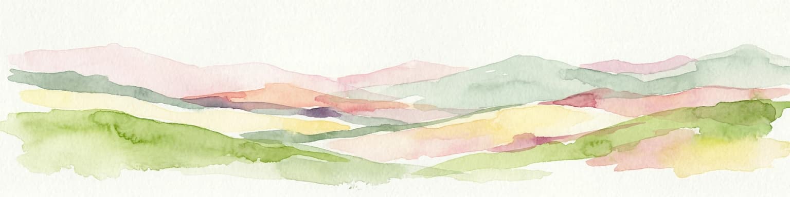
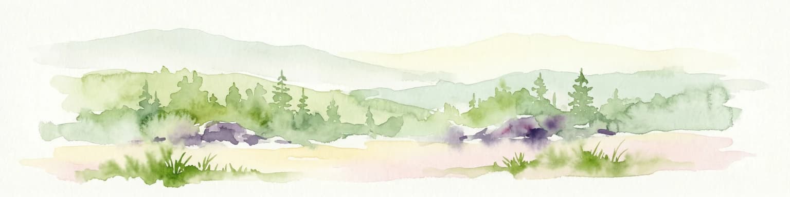
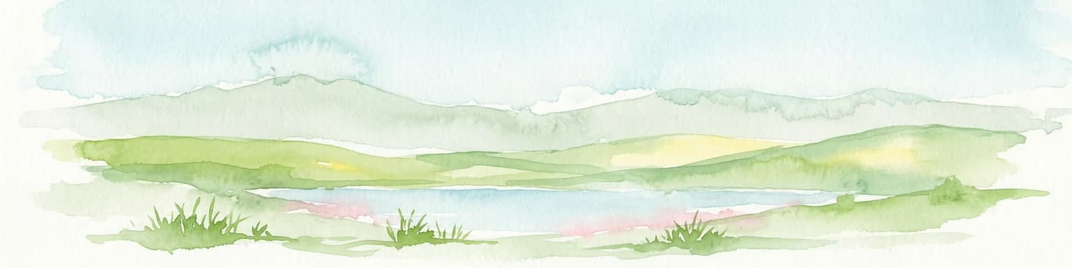
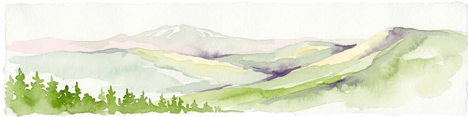
The landscape of Gutulia National Park is characterized by rolling to hilly terrain covered in mountain birch forest. The terrain represents the transition between Norway's inland lowlands and the higher mountainous regions to the north and west. The forest canopy is dominated by birch, with the park's southern location making it an important reference site for understanding how this tree species functions at the edge of its ecological range. The landscape has aremote, uncrowded quality befitting Norway's sparsely populated inland regions.

Gutulia National Park ecosystems, habitats, and plant life

The nature of Gutulia centers on its mountain birch forest ecosystem, which represents the southernmost occurrence of this forest type in Norway. Mountain birch differs from lowland birch in its ability to tolerate harsher conditions, higher elevations, and shorter growing seasons. The park's position at the southern boundary of this ecosystem type makes it particularly valuable for ecological research and conservation monitoring. The forest provides habitat for various species adapted to cold northern conditions.

Gutulia National Park wildlife and species highlights

The wildlife in Gutulia National Park is characteristic of northern birch forest environments in Norway. The mountain birch forest provides habitat for a range of bird species typical of northern Scandinavian woodland, including various passerines adapted to subarctic conditions. Smaller mammals common to Norwegian forests are also present in the park.

Gutulia National Park conservation status and protection priorities

Gutulia National Park serves an important conservation function as Norway's designated protected area for southern mountain birch forest. By protecting this ecosystem at its southern range limit, the park contributes to maintaining genetic diversity and ecological resilience within this forest type. The IUCN Category II designation reflects the park's primary purpose of preserving natural ecosystems while allowing for compatible scientific research and environmental education activities.

Top sights and standout views in Gutulia National Park

Gutulia National Park protects Norway's southernmost mountain birch forest, making it the representative protected area for this ecosystem type at its ecological boundary. The park's small size of 23 square kilometers belies its ecological significance as a reference site for understanding how subarctic forest ecosystems function at the southern edge of their distribution.

Best time to visit Gutulia National Park

The best time to visit Gutulia National Park is during the summer months of June through August when temperatures are mild and the birch forest is in full leaf, providing the characteristic subarctic forest experience. Winter visits offer the opportunity to experience the park in its dormant season, though access may be more challenging given the remote location and continental climate of eastern Norway.

Park location guide

Geography guide, regional context, and park location map for Gutulia National Park

Gutulia National Park park geography, regions, and map view in Norway
Understand where Gutulia National Park sits in Norway through a broader geographic reading of the surrounding landscape, nearby location context, and its mapped position within the national park landscape.

How Gutulia National Park fits into Norway

Norway, officially the Kingdom of Norway, is a Nordic country in Northern Europe located on the Scandinavian Peninsula. It encompasses mainland Norway, the Arctic islands of Svalbard and Jan Mayen, and maintains dependencies including Bouvet Island and Antarctic claims. The country has a population of about 5.6 million and is bordered by Sweden, Finland, and Russia. Norway is a unitary parliamentary constitutional monarchy with Oslo as its capital and largest city.

Wider geography shaping Gutulia National Park in Norway

Norway occupies the western and northern portions of the Scandinavian Peninsula in Northern Europe. The country shares a long eastern border with Sweden, and borders Finland and Russia to the northeast. Norway has an extensive coastline facing the Skagerrak, North Sea, Norwegian Sea, and Barents Sea. The terrain is predominantly mountainous with numerous fjords along the coastline.

Map view of Gutulia National Park

Use this park location map to pinpoint Gutulia National Park in Norway, understand its exact geographic position, and read its mapped placement within the surrounding landscape more clearly.

Pigeon | © OpenStreetMap contributors

Location context for Gutulia National Park

Innlandet
Park atlas

Trace Norway's protected landscapes around Gutulia National Park, comparing mountain birch forests and diverse terrain within Innlandet county.

Discover Other National Parks and Protected Areas Near Gutulia National Park
After exploring Gutulia National Park, browse other national parks and protected areas across Innlandet county, identifying additional subarctic forest ecosystems and diverse mountainous regions. Compare these distinct conservation landscapes to understand the broader geographic spread of Norway's natural heritage and trace various protected terrains.
National parkDalarna County

Töfsingdalen National Park: Ancient Old-Growth Forest in Rugged Terrain

Remote protected landscape within Dalarna County, Sweden.

Töfsingdalen National Park showcases a rare example of an ancient, up-to-500-year-old pine forest thriving in extremely rugged, boulder-strewn valley terrain. This protected area, located in Sweden's Dalarna County, offers a glimpse into a near-wilderness landscape shaped by glacial forces and defined by its remoteness and ecological integrity. Discover the mapped park boundaries and the unique geographic context of this remarkably untouched natural reserve.

Area
16.15 km²
Established
1930
IUCN
II
Relief
Lowland
National parkInnlandet

Femundsmarka National Park: Exploring Norway's Distinctive Wetland and Boreal Protected Landscape

Mapped boundaries and regional geography in Innlandet.

Femundsmarka National Park in Innlandet, Norway, offers a profound look into a preserved wetland wilderness characterized by vast marshlands, numerous lakes, and scattered boreal forests. As a designated national park, its ecological significance is tied to the surrounding water systems and the unique landscape stretching towards the Swedish border. This entry provides detailed geographic context, mapping information, and an understanding of its protected area status, inviting exploration of its remote boreal terrain and notable wildlife habitats.

Area
573 km²
Established
1971
IUCN
II
Relief
Mixed relief
Watercolor illustration showing mountains, forests, and a river
National parkDalarna County

Fulufjället National Park: Protected Plateau Landscape and Transboundary Conservation in Dalarna County

Sweden's southernmost alpine plateau, mapped geography, and natural wonders.

Fulufjället National Park in Dalarna County, Sweden, protects a significant high plateau landscape, notable for its ancient sandstone geology and unique lichen-heath environments. This national park is home to Njupeskär, Sweden's tallest waterfall, and is part of a transboundary protected area with Norway. Explore the mapped terrain and distinct natural features of this important conservation area within the Scandinavian Mountains.

Area
385 km²
Established
2002
IUCN
II
Visitors
53K annual
Watercolor illustration of a mountainous landscape with a lake, green fields, and pink flowers
National park

Fulufjellet National Park: Protected Boreal Forest Landscape and Regional Geography

Explore mapped boundaries, rolling terrain, and transboundary conservation.

Fulufjellet National Park offers a detailed look at a protected boreal forest ecosystem in southeastern Norway. This page details the park's gently rolling hills, dominated by Norway spruce and Scots pine, interspersed with lakes and peat bogs. It highlights the park's designation as a national park, its establishment in 2012, and its contiguous protected status with Sweden's Fulufjället National Park, contributing to a significant transboundary conservation area. Users can explore its geographic features and protected landscape context within Scandinavia.

Area
82.5 km²
Established
2012
IUCN
II
Relief
Mountain
National park

Sonfjället National Park: Mapped Alpine Terrain and Protected Landscape in Sweden

Explore the glacial geography and subalpine transition zones.

Sonfjället National Park is a key protected area in central Sweden, offering a unique glimpse into an alpine environment shaped by glacial forces. The park's landscape is characterized by the prominent Sånfjället mountain, steep glacial valleys, mires, and small lakes, showcasing raw, natural terrain. As a southern outpost for subalpine ecosystems, it presents a distinct ecological transition zone valuable for geographic discovery and understanding protected nature.

National park

Forollhogna National Park: Norway's Gently Rolling Alpine Protected Landscape Atlas

Explore unique terrain and vital wild reindeer habitat in Central Norway.

MoriAtlas provides structured geographic context for Forollhogna National Park, Norway's nineteenth national park. This area is best known for its distinctively gentle, rolling alpine terrain, a contrast to other Norwegian mountain ranges, and as a critical habitat for wild reindeer. Discover the park's unique landscape character, its role as a protected area, and the ongoing cultural traditions tied to its mountain pastures, all visualized within a comprehensive atlas framework.

Area
1,062 km²
Established
2001
IUCN
II
National parkInnlandet

Dovre National Park: Mapped Alpine Terrain & Protected Reindeer Habitat in Innlandet

Norway's protected mountain plateau landscape and wildlife corridor.

Dovre National Park is a significant protected area in Innlandet, Norway, characterized by its expansive alpine plateau terrain and role as a vital ecological corridor for wild reindeer. This national park offers users an atlas-level view of its mapped natural boundaries, focusing on the unique subarctic mountain landscape and its conservation importance. Understand Dovre National Park's geographic identity and its contribution to a contiguous network of protected lands.

Area
289 km²
Established
2003
IUCN
II
Relief
Mountain
Watercolor illustration of a lake surrounded by trees and distant hills with a soft sky
National parkGävleborg County

Hamra National Park: Ancient Forests, Mires, and Protected Landscape in Gävleborg County

Discover pristine Swedish nature and mapped park boundaries.

Hamra National Park in Gävleborg County, Sweden, protects an extraordinary natural landscape. At its heart lies a distinct moraine hill adorned with some of central Sweden's oldest coniferous trees, some reaching 400 years. Surrounding this ancient forest is a vast, unbroken expanse of mire and wetland, a landscape preserved from drainage and modification. This park offers a profound insight into pristine ecosystems and geographic context, making it a key destination for atlas exploration of protected natural areas.

Area
13.83 km²
Established
1909
IUCN
II
Relief
Lowland

Common questions about visiting, size, designation, and location context for Gutulia National Park

Gutulia National Park FAQs for park facts, access, geography, and protected area context
Find quick answers about Gutulia National Park, including protected-area facts, park geography, trail and visitor context, and how the park fits into its surrounding country and regional landscape.
MoriAtlas Explorer

Continue Your Protected Areas Search Across the Global Atlas

Deepen your exploration by continuing the structured search for national parks and protected areas worldwide. Utilize the comprehensive filtering capabilities to compare different conservation landscapes and refine your understanding of global park geography. Discover more about the distribution and characteristics of protected natural areas.

Global natural geography