Mori Atlas logo
Park earthquake history

Explore a curated catalogue of historical seismic events mapped by distance to park boundaries

Recorded Earthquake History and Seismic Activity Records for Van Gogh National Park

Review documented seismic occurrences associated with the geography of Van Gogh National Park in North Brabant. This collection features a structured index of recorded earthquake epicentres, event dates, magnitudes, and focal depths mapped relative to the protected landscape. Users can evaluate historical activity patterns through this transparent catalogue of USGS-derived data entries.

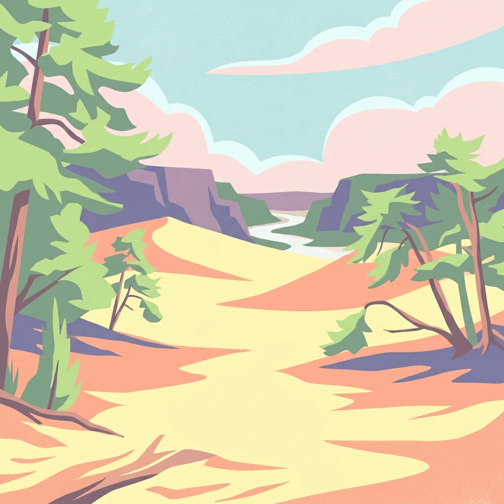
Stylized illustration showing sand dunes, trees, cliffs, and a river in a landscape

A cultural-natural park honoring Vincent van Gogh's North Brabant homeland

Van Gogh National Park

Van Gogh National Park is a newly established Dutch national park in the province of North Brabant, officially designated in October 2024. The park covers an extensive area of approximately 1,200 square kilometers, making it one of the larger protected landscapes in the Netherlands. It is uniquely positioned as a "national park of the new style," representing a collaborative model that brings together governments, businesses, organizations, and local residents in the planning, promotion, and management of the region. The park is named after Vincent van Gogh (1853–1890), the celebrated post-impressionist painter who was born and worked in various locations throughout North Brabant, making this designation a deliberate celebration of the region's dual cultural and natural heritage.

Location
Netherlands
Park type
National park
Established
2024
Area
1,200 km²
Van Gogh National Park Map & Atlas

Compare source-linked epicentres across its lowland dunes, woodland, grassland and valleys

Investigate earthquake records around Van Gogh National Park

Explore reported earthquakes around Van Gogh National Park, officially Van Gogh Nationaal Park, a 1,200 km² lowland park of dunes, woodland, grassland and valleys; search by reported date, magnitude, depth, locality and calculated park distance with source access. Proximity does not confirm boundary occurrence, landscape effects, seismic cause, present danger or future activity.

Sort by
Magnitude
Location

This page describes catalogued earthquakes associated with the park by epicentre location and distance. It does not establish causation, assess current danger, or predict future earthquakes.

No earthquake records match the current filters

Park atlas

Go from Van Gogh National Park earthquake history to new parks

Continue to other protected destinations beyond Van Gogh National Park

From this cultural-natural North Brabant landscape, continue to separately selected protected places. Their inclusion does not imply shared artistic heritage, ecology, park model, geology, seismic exposure, geography, or record depth.
Watercolor artwork showing sand dunes, scattered trees, distant mountains, and soft sky
National parkNetherlands
Park boundaries overlap#1 closest

West

De Loonse en Drunense Duinen National Park: Explore Dutch Protected Sand Drift Landscapes and Heathlands

National Park with unique living sand drift and dune terrain.

Navigate the geographic contours and protected land boundaries of De Loonse en Drunense Duinen National Park, a premier Dutch natural area. This national park is celebrated for its extensive living sand drift, one of the largest in Northern Europe, alongside significant heathlands and coniferous forests. Gain a structured understanding of its landscape character and its role within regional geography through detailed map context and atlas exploration tools.

Area
35 km²
Established
2002
IUCN
II
Relief
Lowland
A horizontal watercolor painting of a winding river flowing through a lush, green countryside with soft trees and a pale, pastel-colored sky.
Nature reserveGelderland
9.2 km away#2 closest

North

Loevestein, Pompveld & Kornsche Boezem: Regional Geography and Protected Area Mapping

A composite Natura 2000 network in the central Dutch river delta.

Spanning the Bommelerwaard and Land van Heusden en Altena, Loevestein, Pompveld & Kornsche Boezem represents a vital approach to protecting fragmented lowland habitats. This record provides geographic insight into the diverse riverine mosaic of floodplains, wet grasslands, and historical stream channels that define this protected landscape in the heart of the Netherlands.

Area
7.5 km²
Established
2013
Watercolor illustration showing a network of rivers, trees, and hills in a wetland landscape
National parkNetherlands
13 km away#3 closest

West

De Biesbosch National Park: A Dutch National Park Mapping Tidal Wetlands and Flood Forests

Explore mapped waterways and diverse protected landscapes.

Delve into the geography of De Biesbosch National Park, a remarkable protected area in the Netherlands renowned for its extensive freshwater tidal wetlands. This national park showcases a unique landscape defined by intricate river systems, dominant willow flood forests, and vital reed beds, serving as a critical habitat for migratory birds and a prime example of wetland restoration. Understand its place within the regional geography through our atlas-driven approach to protected land discovery.

Area
90 km²
Established
1994
IUCN
II
Relief
Lowland
Watercolor painting of a peat bog ecosystem featuring green trees, pink and yellow vegetation, a body of water, and distant mountains
National parkNetherlands
14 km away#4 closest

Southeast

De Groote Peel National Park: Mapped Boundaries of a Unique Raised Bog & Wetland

Protected area with exceptional birdlife and peat landscape.

De Groote Peel National Park represents a crucial protected landscape in the Netherlands, renowned as one of the last substantial raised bogs in Western Europe. Its terrain is characterized by a distinct blend of open lakes formed by historical peat extraction, heathland expanses, and sensitive peat swamps. This Ramsar-designated wetland is a vital habitat for numerous bird species, offering unique opportunities for landscape context and atlas exploration of its ecological significance and mapped geographic features.

Area
13.4 km²
Established
1993
IUCN
II
Relief
Lowland
Nature reserveGelderland
About 21 km away#5 closest

North

Lingegebied & Diefdijk-Zuid: Protected Nature Reserve in Central Netherlands

A fragmented river landscape spanning three provinces

Lingegebied & Diefdijk-Zuid is a designated Natura 2000 nature reserve characterized by its scattered parcels of protected land. The area is deeply integrated into the Dutch river landscape, following the path of the Linge river and the historic Diefdijk. Its unique geography across four municipalities showcases the complex relationship between regional water management and protected European habitat types.

Area
7.5 km²
Established
2013
Relief
Lowland
Climate
Temperate
Watercolor painting of a lake, grassy shoreline, distant hills, and trees
National parkLimburg
33 km away#6 closest

East

De Maasduinen National Park: Mapping the Longest River Dune System in the Netherlands

Protected Landscape and Dune Terrain in Limburg

Delve into the geographic identity of De Maasduinen National Park, a vital protected area in Limburg. This page offers detailed insights into its remarkable dune landscape, heathlands, and forests, emphasizing its role within the Dutch natural atlas and its connections to surrounding conservation areas.

Area
45 km²
Established
1996
IUCN
II
Relief
Lowland
Watercolor painting showing hills, a body of water, grasses, and a large rock in a landscape scene
National parkLimburg
33 km away#7 closest

Southeast

Hoge Kempen National Park: National Park Protected Landscape and Limburg Geographic Context

Explore mapped boundaries within the Limburg region.

Gain a comprehensive understanding of Hoge Kempen National Park as a distinct protected national park. This resource provides critical insights into its geographic setting within the Limburg region, detailing its mapped boundaries and overall landscape context. It serves as an essential point for atlas exploration, allowing users to appreciate the park's role as a protected natural area and its place within the regional geography of Belgium.

Area
127 km²
Established
2006
IUCN
II
Visitors
1M annual
Watercolor painting of a lush, green landscape with ferns and grasses in the foreground and a soft, hazy forest line in the background.
Protected areaNetherlands
About 34 km away#8 closest

Northeast

Kolland en Overlangbroek: Mapping the Rare Ash Floodplain Forest of the Netherlands

Historic estate landscape and protected woodland habitat.

Located between Wijk bij Duurstede and the Utrechtse Heuvelrug, Kolland en Overlangbroek preserves a vital fragment of alluvial ash forest. This protected area offers deep insight into Dutch floodplain geography, featuring a distinct mosaic of sandy ridges, silty backswamps, and centuries-old woodland managed for its unique bryophyte flora and groundwater-fed ecosystem.

Area
1.1 km²
Relief
Lowland
Climate
Temperate
Scope
Terrestrial
MoriAtlas Explorer

Continue Exploring Van Gogh National Park's Geographic Identity and Mapped Landscapes

Deepen your understanding of Van Gogh National Park by exploring its specific protected area boundaries, diverse terrains, and regional geography within North Brabant. MoriAtlas provides structured data to navigate its unique blend of natural features and cultural significance, offering unparalleled atlas-based discovery of this dynamic Dutch landscape.

Global natural geography