Protected areaBenin
About 11 km away#1 closest
North

Complexe W-Arly-Pendjari
Sudano-Sahelian savanna and riverine conservation corridors.
Complexe W-Arly-Pendjari, in Benin.
- Area
- 14,948.3 km²
- Established
- 1996
- Water
- Major water bodies

Mapping the geographic proximity of conserved landscapes in northern Benin
Examine the geographic distribution of protected lands surrounding Parc national du W du Benin. This overview provides a spatial perspective on regional conservation areas, riverine habitats, and Sudanian savanna landscapes located within the vicinity of this transboundary reserve.
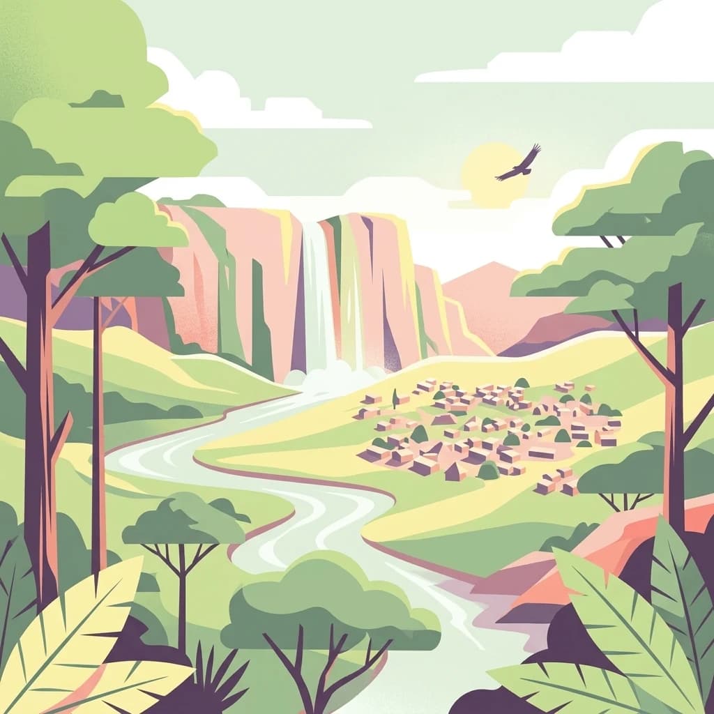
Benin's largest protected savanna, part of the transboundary W-Arly-Pendjari complex.
W National Park of Benin is the Beninese portion of the larger W protected area, a transboundary conservation complex that spans Benin, Niger, and Burkina Faso in West Africa's Sudano-Sahelian zone. The park protects an extensive belt of Sudanian savanna shaped by the Niger River and its tributaries, including the Mékrou and Alibori rivers, and harbors most of the large mammal species characteristic of West African savannas. The Beninese section of the W complex forms part of the W-Arly-Pendjari (WAP) complex, the largest contiguous network of protected areas in West Africa. Together with the Nigerien and Burkinabè segments of the W, the Pendjari, and the Arly reserves, it represents one of the most important strongholds for elephants, lions, and other savanna wildlife in the region. The park is recognized internationally through UNESCO World Heritage, biosphere reserve, and Ramsar wetland designations. Within Benin, the park covers a vast area in the departments of Alibori and Atacora in the country's north, well away from the coast and accessible mainly through the town of Kandi. Its combination of riverine forests, dry woodlands, open savannas, and rocky atacora foothills makes it the principal landscape for understanding Benin's wild northern ecosystems and its role within the wider West African conservation network.
See the ranked park cluster in its geographic setting
Explore surrounding protected landscapes, regional distances, and comparative environmental profiles
North
Sudano-Sahelian savanna and riverine conservation corridors.
Complexe W-Arly-Pendjari, in Benin.

North

Transborder savanna ecosystem and dramatic Niger River landscape.
W National Park in Niger offers a unique atlas view of a vast protected landscape defined by the Niger River's iconic W-shaped bend. As a UNESCO World Heritage Site and Ramsar Wetland, it protects crucial savanna plains, extensive floodplains, and rocky outcrops. This transborder conservation area is a vital habitat for West African wildlife, providing a rich context for geographic discovery and landscape exploration.
Southwest
Located in northwestern Benin, bordering the WAP transboundary complex.
Pendjari National Park represents a significant conservation landscape in West Africa, featuring a complex geography of river-fed riparian forests, sprawling savanna plains, and the high-elevation cliffs of the Atakora mountain range. This protected area offers a look into an intact savanna wilderness, serving as a vital sanctuary for large mammals and diverse bird species within its clearly defined boundaries.
West

Explore its geographic context and boundaries.
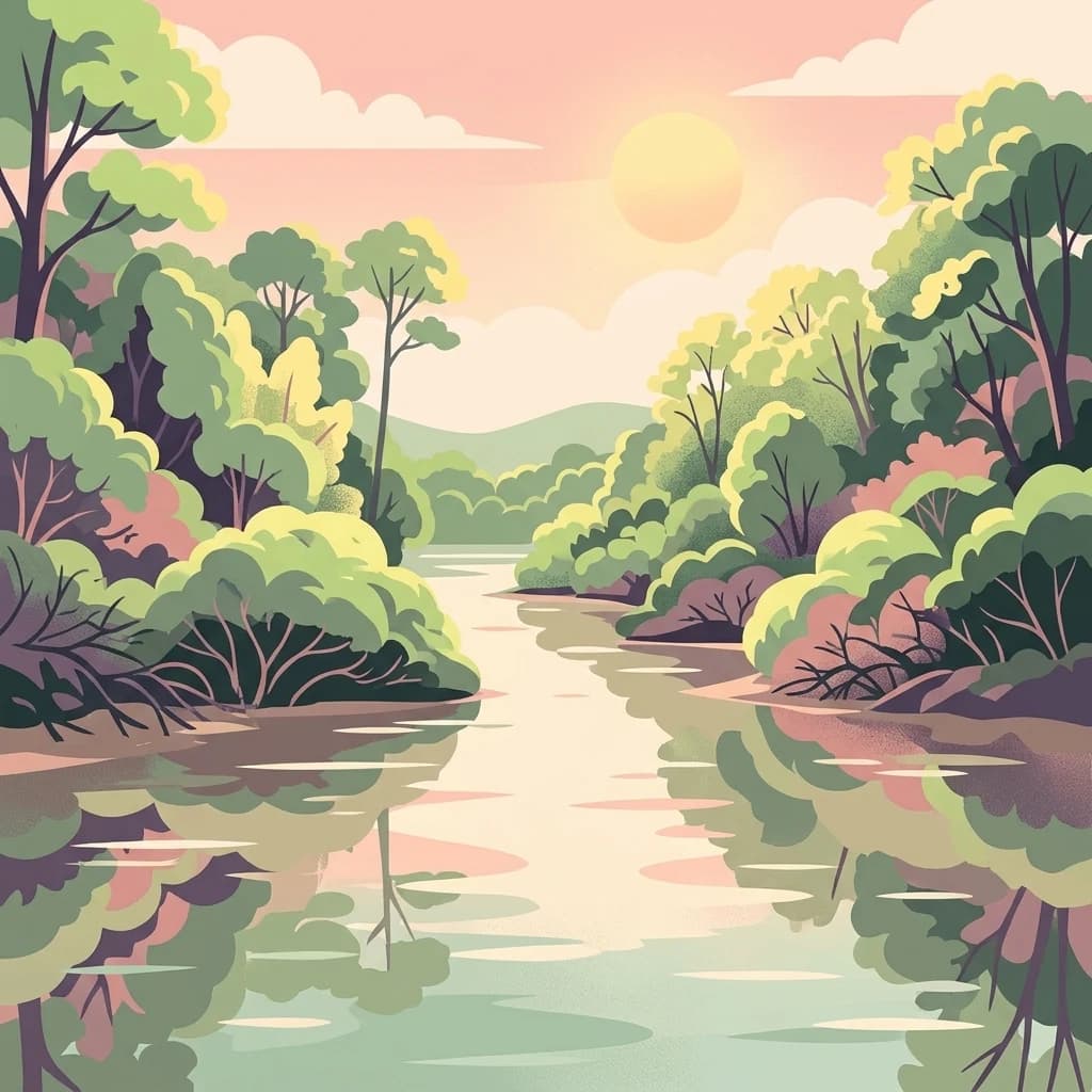
Arli National Park, in Tapoa Province, Burkina Faso. Landscapes: forests, rivers, and woodlands.
East
A historic Sudano-Sahelian savanna and riverine ecosystem
Forêt classée de la Sota stands as a critical protected woodland in northeastern Benin. This expansive 53,000 hectare reserve protects unique Sudano-Sahelian terrain defined by the Sota River basin, supporting a diverse range of savanna wildlife and complex riparian habitats across the Alibori region.

Northeast
Geographic overview of floodplain terrain in Dosso, Niger
Feuchtgebiet am mittleren Niger preserves a vital mosaic of riverine channels, temporary ponds, and floodplain flats. This protected area stands as a distinctive aquatic corridor within the Sahel, characterized by diverse water-based habitats and seasonal vegetation shifts that define the regional geography of Dosso.
East
A seasonal floodplain corridor in the Dosso Region of Niger.
Feuchtgebiet am mittleren Niger II offers a clear view into the flood-pulse ecology of the middle Niger River. The reserve comprises a complex network of channels, ponds, and riverine woodlands that shift with the annual rains. This protected site in the Dosso Region acts as a crucial transboundary conservation area, showcasing the unique interaction between riparian forests, baobab groves, and seasonal aquatic terrain.
Northeast
A 350-kilometer seasonal wetland corridor and regional hydrologic system
Dallol Bosso stands as a major seasonal drainage corridor in western Niger. This wildlife reserve spans from the Malian border to the Niger River, offering a distinct study in Sahelian hydrology. Its alluvial soils and wetland characteristics support specific agricultural patterns, making it a focal point for understanding the human and natural geography of the Boboye region.

North
Explore the mapped boundaries and regional geography of this protected area.
W of the Niger National Park is a designated national park offering detailed atlas-level context for its protected landscape. Users can investigate its mapped boundaries, understand its regional geographic setting, and gain insight into its unique natural terrain. This entry provides a focused view of the park's identity within the broader atlas for protected-area exploration.
Northeast
Mapping seasonal pond systems and floodplain corridors in the Dosso Region
Dallol Maouri serves as a quintessential example of the ancient drainage systems found in the Iullemmeden Basin. As a Ramsar-listed protected area, it features a unique north to south orientation that fosters a rich transition between dryland Sahel and Sudanian savanna. The valley is defined by its seasonal mares, palm groves, and intricate network of koris tributaries that shape the geography of southwestern Niger.
Southeast
Nature reserve protecting vital northern Benin river catchments.
Spanning over 2,595 square kilometers in northern Benin, Forêt classée des Trois Rivières functions as a critical watershed protector for the Sota, Tassiné, and Bouli rivers. The reserve sustains a fragile Sudano-Sahelian ecosystem where open tree savanna and gallery forests provide refuge for elephants and other wildlife. Its mapped boundaries offer a look at the historical and ecological struggle to maintain intact forest fragments within a landscape defined by agricultural expansion and river basin management.

West
A landmark hydroelectric reservoir and wetland habitat
Lac de la Kompienga constitutes a primary water resource and ecological site within the dry savanna of Burkina Faso. This artificial reservoir creates a vital wetland mosaic, supporting diverse aquatic birdlife and fisheries while functioning as a critical component of the regional Volta Basin hydrology. The site captures the transition between engineered water management and the natural dry woodland ecosystems characteristic of the Est Region.
South
A study in northern Benin savanna and gallery forest geography
Forêt classée de N'Dali stands as a defined protected area within Benin, preserving a complex mosaic of tree savanna and open woodland. This reserve captures the essential Sudano-Sahelian landscape character of the Borgou region, featuring a pattern of vegetation controlled by seasonal drainage and soil variation.

Southwest

Explore the mapped terrain and protected landscape of this key national park.
Delve into the geography of Oti-Kéran National Park, Togo's largest national park situated in the Kara Region. This protected savanna landscape, recognized as a Ramsar site, offers insights into its unique sudanian zone terrain, important bird habitats, and its function as a wildlife migration corridor. Understanding its mapped boundaries and ecological significance provides a core piece of the West African protected areas atlas.
West
Mapped protected area geography and landscape context.
Fosse aux Lions National Park represents a distinct protected landscape within the Savanes Region of Togo. This entry focuses on its identity as a national park, providing structured information on its geographic placement and mapped boundaries. It serves as a core element for understanding the distribution of protected areas and the specific natural terrain within this region of Togo, aiding in comprehensive atlas-style exploration.

Key protected area in Sierra Leone
The Foge Islands function as a vital protected area characterized by dynamic wetland landscapes and shifting fluvial boundaries. This resource provides a focused geographic overview of the island terrain, detailing the environmental features and regional placement within the wider Sierra Leone landscape. Understand the physical composition and ecological importance of this unique protected site through detailed map-driven analysis.
Southeast

Mapped protected landscape and regional geographic context.
Kainji National Park represents a significant protected landscape within Nigeria, offering a distinct focal point for geographic atlas exploration. As a national park, its mapped boundaries and regional context are essential for understanding the distribution of natural areas in West Africa. This entry provides a grounded perspective on its landscape, enabling detailed study for those interested in the structured geography of conservation lands.
Northwest
A vital freshwater ecosystem in northeastern Burkina Faso.
Explore the spatial characteristics of Lac Higa, a permanent wetland and protected area in the Sahel Region of Burkina Faso. This atlas entry details the lake basin, the Yali River connection, and the surrounding shrub savanna terrain, providing essential context for this unique hydrological and biological site.
Southwest
Explore a unique West African national park with diverse ecosystems and vital conservation importance.
Fazao-Malfakassa National Park stands as Togo's largest national park, a protected expanse of mountainous terrain in the eastern highlands crucial for regional conservation. This wilderness area shelters significant forest ecosystems and serves as a vital watershed, contributing to the ecological integrity of West Africa. Its diverse landscape, characterized by rugged ridges and valleys, offers a unique insight into Togo's protected natural heritage and its role as a biodiversity corridor.
Geographic measurements, not driving distances
Calculated between the nearest points of both park boundaries.
Estimated from one mapped park location to the nearest boundary of the other park.
Estimated between the mapped locations of both parks.
Continue your exploration of Parc national du W du Benin by studying its internal river networks, savanna terrain, and strategic role within the regional W-Arly-Pendjari conservation area. MoriAtlas offers a structured view of this protected landscape to help you understand its unique position in the geography of northern Benin.