Mori Atlas logo
Countries

Browse mapped protected landscapes and natural terrain across Kyrgyzstan's diverse mountain ranges.

Kyrgyzstan National Parks and Protected Areas: A Geographic Atlas Explorer

Kyrgyzstan, a landlocked nation nestled within the Tian Shan and Pamir Mountains, offers a rich tapestry of protected natural areas. This atlas provides a structured gateway to understanding the geographic distribution and unique landscape contexts of its national parks and protected lands. Navigate through the country's diverse mountain environments to discover the spread of conservation areas and their place within the broader regional geography.

Kyrgyzstan National Parks and Protected Areas: A Geographic Atlas Explorer
Park system

Kyrgyzstan Protected-Area Profile: Analyzing National Parks and Reserves

Comparing habitat diversity, historic designations, and reserve scales across the Tian Shan terrain

Known records for national parks in Kyrgyzstan outline a diverse network of high-mountain reserves and protected forest landscapes. Reviewing current data on median size, historic designation eras, and climate zones provides a clear geographic framework to analyze regional conservation efforts.

Known protected area

5,859 km²

Area data available for 7 of 17 parks.

Median park size

381 km²

Median across 7 parks with known area.

Oldest known park

Established in 1983.

Largest known park

Recorded area: 2,758 km².

Designation distribution

State or regional park10
Nature reserve4
National park2
Protected area1

Habitat distribution

Montane forest5
Alpine meadow3
Riverine habitat2
Lacustrine habitat1
Temperate coniferous forest1

1 more category represented

Climate distribution

Alpine2
Subtropical1
About

Map Kyrgyzstan's vast protected areas, tracing the geographic spread of its unique mountain parks and alpine landscapes.

Explore National Parks in Kyrgyzstan: A Central Asian Atlas of Protected Mountain Landscapes

Browse national parks and protected areas across Kyrgyzstan, exploring conservation landscapes, mountain ranges, and alpine environments within this Central Asian nation's borders. The country serves as a vital atlas entry point for understanding the geographic distribution of protected terrain, offering a clear framework for park discovery and regional comparisons.

Kyrgyzstan is a landlocked Central Asian country located in the Tian Shan and Pamir mountain ranges. With a population of approximately 7.4 million, it is bordered by Kazakhstan to the north, Uzbekistan to the west, Tajikistan to the south, and China to the east. The capital and largest city is Bishkek. Ethnic Kyrgyz make up the majority of the population, with significant Uzbek and Russian minorities. The country gained independence from the Soviet Union in 1991.

Kyrgyzstan, officially the Kyrgyz Republic, is a landlocked country in the eastern regions of Central Asia. It lies in the Tian Shan and Pamir mountain ranges and is bordered by Kazakhstan, Uzbekistan, Tajikistan, and China. The country has a population of approximately 7.4 million people, with ethnic Kyrgyz comprising the majority. Kyrgyzstan has a history spanning various cultures and empires, serving as part of the Silk Road trade route. It became independent from the Soviet Union in 1991 and operates as a unitary presidential republic.

Largest city:Bishkek
Currency code:KGS
ISO code:KG
Parks count
17
Capital
Bishkek
Area
200,105 km²
Population
7,400,000 (2,026)

Coastal
Island
Mountainous
Landlocked
Park atlas17 parks

Browse mapped geography of Kyrgyzstan's mountain parks and conservation landscapes across Central Asia.

National Parks and Protected Areas in Kyrgyzstan: Explore the Tian Shan and Pamir Landscapes

Discover a comprehensive list of Kyrgyzstan's national parks and protected areas, tracing their distribution across the iconic Tian Shan and Pamir mountain ranges. A country-level park atlas provides structured geographic context, allowing you to compare protected landscapes and plan your exploration of Central Asian alpine environments.
State or regional parkKyrgyzstan

Ala-Archa Nature Park: Kyrgyzstan's State or Regional Protected Landscape Identity

Explore its mapped terrain and geographic context.

Investigate Ala-Archa Nature Park, a distinct protected area situated in the mountainous geography of Kyrgyzstan. This state or regional park offers valuable insight into the mapped natural landscapes and regional context of Central Asia. Understanding its boundaries and geographic character provides a foundation for deeper atlas-based exploration of Kyrgyzstan's protected lands.

Scope
Terrestrial
National parkKyrgyzstan

Besh-Tash Nature Park National Park: Mapped Geography and Protected Landscape Identity

Explore the natural terrain and park boundaries in Kyrgyzstan.

Discover Besh-Tash Nature Park, a designated national park located within the mountainous terrain of Kyrgyzstan. This page focuses on its role as a protected landscape, providing insight into its mapped geographic context and regional significance. Understanding Besh-Tash Nature Park involves examining its natural setting and its contribution to conservation efforts in Central Asia, offering a factual atlas perspective for explorers.

State or regional parkKyrgyzstan

Saymaluu-Tash State Nature Park: Mapped Protected Landscape in Kyrgyzstan

Explore its geographic setting and natural terrain.

Saymaluu-Tash State Nature Park is a designated protected area offering crucial insights into Kyrgyzstan's natural geography. This page focuses on the park's mapped boundaries and its place within the regional landscape context of Central Asia. Utilize this resource to understand the specific geographic features and protected status of this significant nature park, contributing to a comprehensive atlas of protected lands.

IUCN
II
Scope
Terrestrial
State or regional parkKyrgyzstan

Khan-Tengri State Nature Park: Kyrgyzstan State or Regional Park Atlas Exploration

Explore protected landscapes and geographic context.

Khan-Tengri State Nature Park is a designated protected area in Kyrgyzstan, offering unique insights into the region's mountainous geography. This page serves as a detailed atlas entry, highlighting the park's protected landscape characteristics, its mapped boundaries, and its place within the broader natural terrain of Central Asia. Understand the geographic identity of this state or regional park and its contribution to conservation landscapes.

Area
2,758 km²
Established
2016
Relief
Mountain
Access
Remote access
National parkKyrgyzstan

Karakol State Nature Park: Kyrgyzstan National Park Atlas and Mapped Protected Landscape

Explore the geographic context and mapped boundaries of this Kyrgyz national park.

Delve into Karakol State Nature Park, a designated national park contributing to Kyrgyzstan's rich protected lands catalog. This entry provides essential details for understanding its protected landscape identity, its geographic setting within the Central Asian mountains, and its mapped presence within a broader atlas of natural areas. Discover the park's unique role as a mapped conservation zone and its contribution to regional geographic context.

Area
380.95 km²
Established
1997
Relief
Mountain
Scope
Terrestrial
Protected areaKyrgyzstan

Alatay State Nature Park Protected Area: Mapped Landscape and Regional Geography

Explore the protected boundaries and geographic context of this Kyrgyz natural landscape.

Alatay State Nature Park is a designated protected area within Kyrgyzstan, contributing to the country's vast network of natural landscapes. This page provides detailed geographic information, emphasizing the park's mapped boundaries and its role within the broader regional context of the Tian Shan mountains. It serves as a crucial point for understanding the park's landscape identity and its atlas-level significance as a protected natural territory in Central Asia.

Access
Access unknown
State or regional parkKyrgyzstan

Chong-Kemin Nature Park: Mapped Protected Landscape in Kyrgyzstan's Tian Shan Mountains

State or Regional Park with Alpine Valleys and Glacial Lakes

Chong-Kemin Nature Park offers a rich geographic exploration of Kyrgyzstan's Tian Shan mountain region. This state or regional park encompasses approximately 123,564 hectares, defined by the extensive Chong-Kemin River valley and seven glacial lakes. Its landscape provides crucial habitat within a protected area, showcasing alpine terrain and river ecosystems. Users interested in mapped protected areas and regional park geography will find Chong-Kemin Nature Park a key point for understanding Kyrgyzstan's natural heritage.

Area
1,235.64 km²
Established
1997
Relief
Mountain
Climate
Alpine
State or regional parkKyrgyzstan

Sarkent State Nature Park: A Protected Landscape in Kyrgyzstan's Tian Shan Mountains

Explore mapped boundaries and regional geographic context.

Sarkent State Nature Park is a key state or regional park situated within the dramatic mountain geography of Kyrgyzstan. Its designation protects a significant natural landscape, offering users a valuable point of reference for understanding regional protected areas and the intricate terrain of Central Asia. This detail entry provides context for its mapped boundaries and its place within the broader atlas of protected lands.

Nature reserveJalal-Abad Region

Padyshata State Nature Reserve: Geographic Profile and Protected Forest Atlas

Chatkal Range ecosystems in the western Tien Shan

Covering 158 square kilometers, Padyshata State Nature Reserve is a strictly managed protected area defined by its vertical zonation, ranging from rocky mountain slopes to expansive juniper and Semenov fir forests. This geographic profile outlines the terrain, habitat structure, and the vital role of this reserve within the broader Kyrgyz forest conservation network.

Area
158.46 km²
Established
2003
IUCN
Ia
Relief
Mountain
State or regional parkKyrgyzstan

Kara-Shoro State Nature Park: Protected Landscape and Geographic Atlas Context in Kyrgyzstan

Explore its mapped boundaries and regional protected area identity.

Kara-Shoro State Nature Park is a vital protected area situated within the mountainous geography of Kyrgyzstan. This park detail page facilitates a structured exploration of its specific landscape character, mapped terrain, and its significance as a state or regional park within the Central Asian atlas. Understand the park's protected nature and its role in the country's conservation landscape through detailed geographic context.

IUCN
II
Scope
Terrestrial
Nature reserveNaryn Region

Naryn Nature Reserve: Mountain Conservation and Geological Landscapes in Naryn Region

Strictly protected mountain terrain and river basin geography

Naryn Nature Reserve encompasses a vast protected area in the Naryn Region of Kyrgyzstan, showcasing the diverse ecological and geological character of the inner Tien Shan. The reserve functions as a vital anchor for regional biodiversity, spanning high plateaus, river valleys, and isolated mountain ridges that remain largely untouched by development.

Area
1,080.23 km²
Established
1983
IUCN
Ia
Visitors
80 annual
State or regional parkKyrgyzstan

Kyrgyz-Ata State Nature Park: Protected Landscape Atlas and Regional Geography

Discover the mapped terrain and protected area identity within Kyrgyzstan.

Delve into the protected landscape of Kyrgyz-Ata State Nature Park, a state or regional park located in Kyrgyzstan. This page highlights its geographic significance, mapped park boundaries, and its role within the country's natural terrain. Gain a deeper understanding of its protected area status and its context within the broader Central Asian geography.

Landscape and environment

Understand how Kyrgyzstan is shaped by terrain, ecosystems, and seasonal conditions

Kyrgyzstan geography, nature, climate, and landscape context for park-focused travel research

Explore the physical geography, natural setting, and climate patterns of Kyrgyzstan through a location-first overview built for travel research, national park discovery, and broader regional context. This section helps explain how landscapes, habitats, and environmental conditions shape what people search for, where they travel, and how they experience protected areas in Kyrgyzstan.

Kyrgyzstan geography and landscape

Kyrgyzstan is located in Central Asia, situated in the Tian Shan and Pamir mountain ranges. It is landlocked, bordered by Kazakhstan to the north, Uzbekistan to the west, Tajikistan to the south, and China to the east and southeast. The capital Bishkek lies on the northern border with Kazakhstan.

Kyrgyzstan nature and environment

Kyrgyzstan features dramatic mountain landscapes with the Tian Shan and Pamir ranges covering much of the country. The terrain includes alpine meadows, forests, and high-altitude ecosystems. The country has numerous lakes and rivers fed by glacial meltwater.

Kyrgyzstan climate and seasonal conditions

Kyrgyzstan has a continental climate with cold winters and warm summers. Mountain areas experience cooler temperatures and higher precipitation. The country varies in climate from arid lowland valleys to alpine conditions at higher elevations.

Explore this place

Related topics and popular queries

Ways to explore Kyrgyzstan

Useful phrases, related topics, and discovery prompts connected to Kyrgyzstan.
where is Kyrgyzstanwhat is Kyrgyzstan known forKyrgyzstan geography and climateKyrgyzstan nature and mountainsKyrgyzstan population and demographicsKyrgyzstan history and cultureKyrgyzstan countryCentral Asia nationKyrgyz Republiclandlocked Central AsiaTian Shan mountainsBishkek capitalformer Soviet republicSilk Road Kyrgyzstan
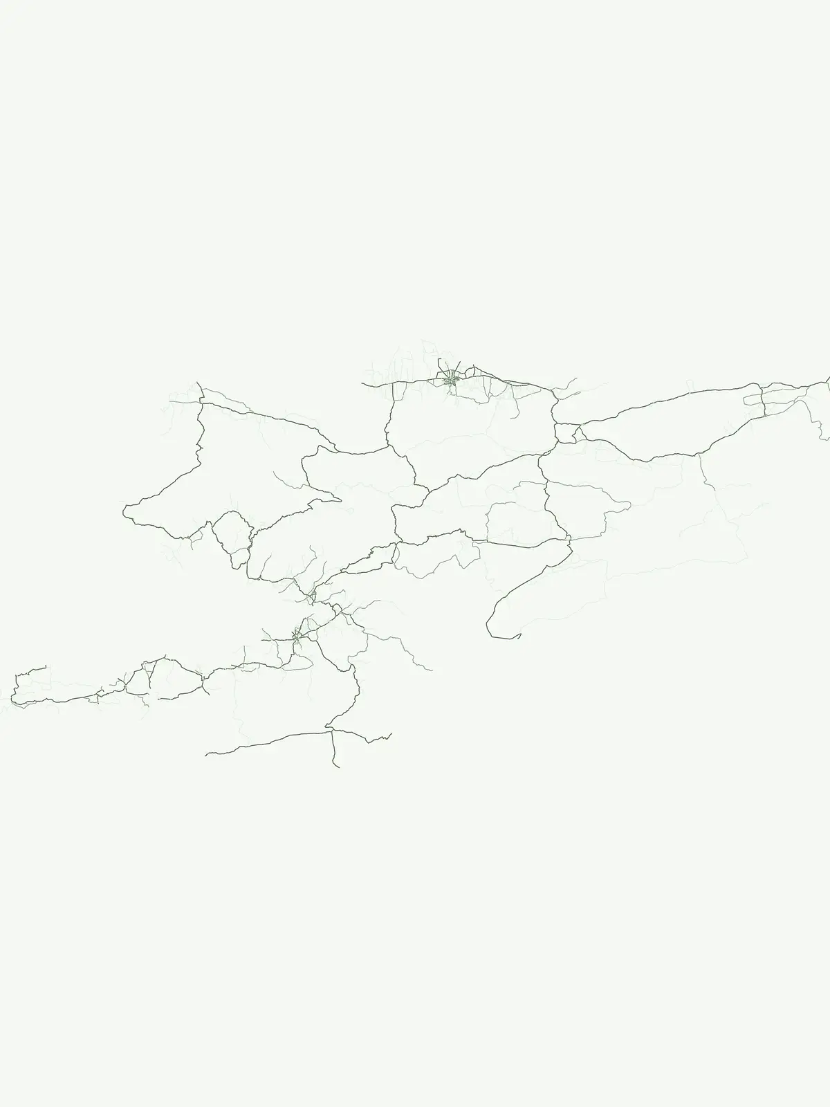
Park map

Uncover the mapped geography of Kyrgyzstan's national parks, tracing their distribution and mountainous terrain.

Kyrgyzstan National Parks Map: Trace Protected Area Locations Across Central Asia

Browse the geographic spread of national parks and nature reserves across Kyrgyzstan, from the Tian Shan mountains to remote alpine valleys. A dedicated country map provides a clear spatial overview, allowing you to compare protected area locations and understand their regional context within Central Asia's rugged landscapes.

Explore geographic insights into Kyrgyzstan's protected landscapes, detailing park distribution and key conservation areas.

Frequently Asked Questions About National Parks and Protected Areas in Kyrgyzstan

Delve into frequently asked questions regarding Kyrgyzstan's national parks, nature reserves, and various protected areas, gaining clarity on their locations and classification. Understanding these core geographic and conservation details offers valuable context for exploring the diverse mountain landscapes and alpine environments across Central Asia.
Other countries

Compare Central Asian and wider regional protected landscapes, mapping diverse park geographies from the Tian Shan.

Explore Other National Parks and Protected Areas Beyond Kyrgyzstan

Browse extensive lists of national parks and protected areas in countries neighboring Kyrgyzstan and throughout the wider Central Asian region. Expand your atlas exploration to compare varied geographic contexts and conservation landscapes, tracing the extent of protected environments across diverse terrains.

Pakistan National Parks and Protected Areas: Geographic Atlas Explorer

Navigate the geography of Pakistan's protected areas and national parks. This atlas provides a structured overview of the country's conservation landscapes, highlighting their geographic spread and key natural terrain features. Understand the regional context of protected lands, offering a clear map-based discovery experience for researchers and explorers alike.

63 parks

Kazakhstan National Parks and Protected Areas: Browse Mapped Landscapes and Geography

Delve into the geographic richness of Kazakhstan with this structured atlas entry. Discover the mapped distribution of national parks and protected areas across the country, gaining insight into the diverse natural terrain and conservation landscapes. This resource facilitates a clear understanding of regional park geography, enabling navigation to detailed information about Kazakhstan's significant protected territories.

38 parks

Nepal National Parks and Protected Areas: Geographic Atlas Overview

Access a structured atlas of Nepal's national parks and protected areas, focusing on their geographic scope and distribution. This resource facilitates understanding the country's varied natural terrain, from alpine ecosystems to mountainous protected areas. Discover the mapped boundaries of conservation landscapes, providing a clear geographic context for each protected region within Nepal.

12 parks

Bhutan's National Parks and Protected Areas: Mapped Geographic Overview

Bhutan's commitment to conservation is reflected in its network of national parks and protected areas, nestled within the dramatic Himalayan geography. This destination offers an atlas-style view of these significant natural landscapes, highlighting their geographic distribution and mapped boundaries. Users can navigate this structured data to understand the regional context of protected lands across the Kingdom of Bhutan.

11 parks

Iran National Parks and Protected Areas: Mapped Landscapes and Geographic Discovery

Access a structured atlas for discovering Iran's national parks and protected areas. This geographic resource details the locations and mapped boundaries of conservation landscapes, providing essential context for understanding the country's natural terrain and regional park distribution. Investigate the spread of protected areas and their significance within the broader geography of Iran.

9 parks

Afghanistan National Parks and Protected Areas: Geographic Atlas Explorer

Navigate the protected natural areas of Afghanistan through a structured geographic lens. This resource provides an atlas view of national parks and conservation landscapes, detailing their locations and geographic context within the country's diverse terrain. Understand the regional spread and mapped boundaries of Afghanistan's protected lands, offering a foundation for landscape exploration.

5 parks

Uzbekistan National Parks and Protected Areas: Geographic Atlas Explorer

Delve into the structured geographic exploration of Uzbekistan's protected areas and national parks. This resource provides a map-aware view of conservation landscapes, detailing their distribution and regional context. Understand the placement of protected lands across the country, offering insights into Central Asia's natural terrain and park geography through a dedicated atlas interface.

2 parks

Tajikistan National Parks: A Geographic Atlas of Protected Landscapes

Access a structured geographic database of protected lands throughout Tajikistan. This atlas provides essential mapping and landscape context for understanding the distribution of natural areas across the nation's predominantly mountainous topography, facilitating deep exploration of regional park boundaries and environmental zones.

1 park

Protected area types

Continue Exploring Kyrgyzstan's Protected Area Classifications and Geography

Deepen your understanding of Kyrgyzstan's natural heritage by continuing to explore its protected area designations. This focused route allows for a granular look at classification types like national parks and state reserves, revealing patterns in their geographic distribution. Use this structured approach to navigate into detailed information on each represented designation group, enhancing your appreciation of the country's conservation landscape and regional context.

Kyrgyzstan Protected Area Designations
MoriAtlas Explorer

Continue Your Global Geographic Exploration with MoriAtlas Park Discovery

Dive deeper into the world's protected landscapes and national parks through MoriAtlas's structured atlas interface. Discover how continents and countries are organized, and how individual park geography fits into the broader map. Our platform is built for understanding the distribution and context of protected areas worldwide, facilitating your journey through global natural geography.

Global natural geography