National parkMalawiMountain

Lake Malawi National Park
Discover mapped terrain, island geography, and evolutionary wonders.
Lake Malawi National Park, in Malawi. Landscapes: coasts, islands, and lakes.
94 km²1980IIMajor water bodies

Discover the mapped boundaries and regional distribution of Malawi's nationally significant park areas.
Malawi's National Parks represent a crucial layer of its protected-area landscape, recognized for their conservation significance and broad geographic representation. This atlas view focuses on the specific discovery value of these nationally designated parks, detailing their distinct mapped boundaries and positioning them within the wider regional geography of Southeastern Africa. Explore the mapped extent of these protected areas to understand their role in Malawi's natural heritage.
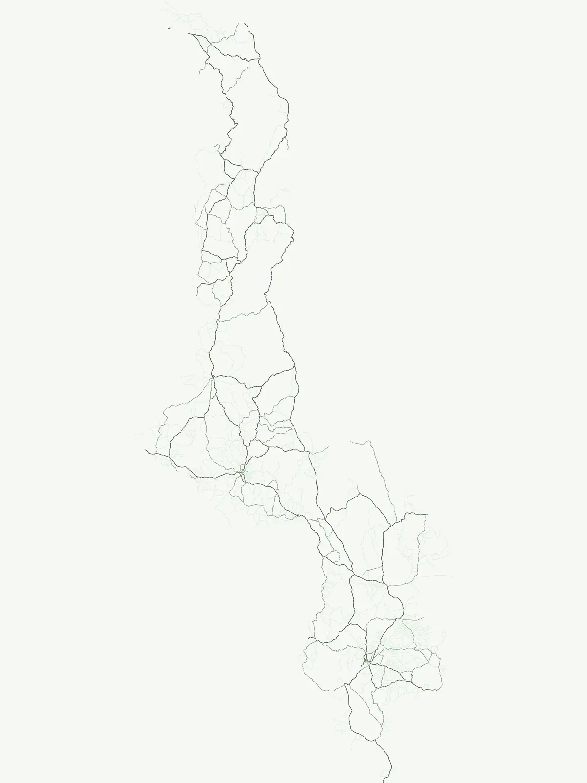
Trace the geographic distribution of Malawi's core protected areas, from lakeside habitats to diverse terrestrial ecosystems.
National parks in Malawi identify the country's most significant protected areas, focusing on landscape conservation, biodiversity protection, and public recognition. These flagship sites, spanning from the aquatic wonders of Lake Malawi to vast Miombo woodlands, offer a comprehensive view of the nation's core conservation landscapes for atlas-style geographic discovery.
Browse the definitive list of national parks in Malawi, showcasing the country's primary protected landscapes and their unique geographic settings. Utilize this filtered view to compare regional distribution and diverse conservation profiles among these nationally recognized park entities.
Discover mapped terrain, island geography, and evolutionary wonders.
Lake Malawi National Park, in Malawi. Landscapes: coasts, islands, and lakes.
Explore Miombo woodlands and dambo grasslands across its mapped terrain.
Kasungu National Park is a key protected area in Malawi, offering insights into the geography of Central Malawi's savanna landscapes. This national park, covering over 2,300 square kilometres, is defined by its characteristic Miombo woodland interspersed with dambo grasslands and riverine habitats. Its location near the Zambian border provides a critical conservation corridor, making it an important entity for understanding regional protected land distribution and landscape ecology within the atlas.
Mapped Protected Area Boundaries and Geographic Context
Liwonde National Park is a designated national park situated in Malawi's Southern Region. This entry provides detailed geographic information, focusing on the park's mapped boundaries and its role within the broader atlas of protected landscapes. Explore the unique regional geography and conservation context that defines this protected area.
Discover geographic context and mapped boundaries of this protected area.
Nyika National Park serves as a core entry for understanding Malawi's protected areas and natural landscapes through an atlas lens. Explore the park's designation as a national park, its geographic positioning within Malawi, and the mapped context that defines its protected status. This detail page provides a foundational view for appreciating the park's landscape and its contribution to the regional protected lands overview.
Mapped natural terrain and protected area boundaries in Malawi.
Lengwe National Park offers a focused look into Malawi's protected natural areas. As a designated national park, its geographic significance is highlighted through mapped boundaries and an understanding of the surrounding regional terrain. This entry provides essential context for exploring its identity as a protected landscape within southeastern Africa, contributing to a broader atlas of conservation areas.
Explore the comprehensive atlas of protected areas in Malawi, including national parks and other designation types that shape the country's conservation landscape. Compare the geographic distribution and purpose of diverse protected area categories across Malawi for a complete understanding of its natural heritage.
Regional conservation and wildlife habitat protection
Examine the geographic layout of wildlife reserves in Malawi, identifying critical conservation corridors and protected habitats. This atlas-focused overview helps users trace the extent of land set aside for ecosystem health and wildlife protection within the country.
Regional mapping of protected nature and biodiversity reserves
Access a structured overview of nature reserves in Malawi, focusing on their role in long-term habitat preservation and ecological stability. This resource maps the specific boundaries and regional significance of these protected lands, clarifying their contribution to the country landscape.
Regional mapping of protected natural sites and reserves.
Access a structured index of protected areas in Malawi that hold conservation significance. This resource maps various reserves and natural sites, providing a clear geographic view of landscape protection efforts across the national territory for informed research and regional exploration.
Open the park list for Malawi to explore locations and park characteristics.