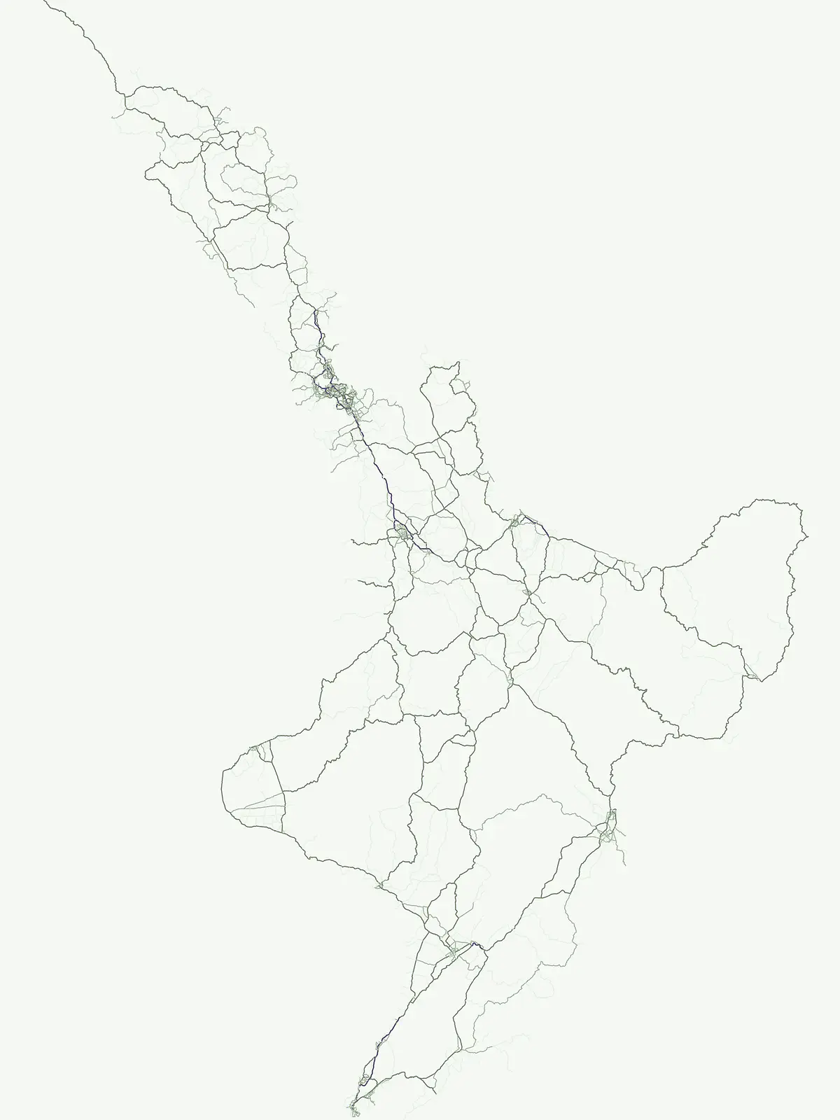
Explore regionally framed conservation landscapes and local park boundaries within the New Zealand archipelago.
Regional Parks and Protected Natural Areas Across the Geography of New Zealand
These regional parks in New Zealand represent significant protected landscapes that reflect the unique topography of the North and South Islands. By grouping these areas, our atlas provides clear insight into local conservation efforts and the geographic distribution of protected natural land. Use this resource to trace regional park boundaries and understand how these areas contribute to the wider natural context of the country.
Discover local conservation reserves and regional park geography across New Zealand
Exploring New Zealand Regional Park Networks and Protected Coastal Landscapes
Regional park networks across New Zealand protect vital coastal ecosystems, native forests, and estuaries from the North Island down to southern river valleys. Examining these local protected areas reveals how regional administrative boundaries shape public recreation and habitat preservation across the islands.
Regional Parks in New Zealand: Filtered Protected Area Index
Examine protected regional park entities across New Zealand, featuring coastal reserves, native forests, and wetland habitats. Comparing these local conservation zones reveals administrative landscape management across diverse regional territories.
Regional parkAuckland RegionMountain
Waitākere Ranges
Volcanic terrain and expansive coastal wilderness boundaries
Examine the rugged geography of the Waitākere Ranges, spanning from sheer western sea cliffs to lush, regenerating forest valleys. This overview details the protected land, including volcanic rock formations, black sand surf beaches, and the inland reservoirs serving the Auckland region, highlighting its status as an ecologically critical heritage area.
Mapped protected landscapes of a coastal New Zealand peninsula
Situated on a narrow peninsula north of Auckland, Wenderholm Regional Park offers a compact study in diverse coastal terrain. The park encompasses the forested Maungatauhoro headland, the tidal Puhoi sandspit, and riverine boundaries that create a distinct protected environment. Since its 1965 founding, the area has become a haven for native bird restoration and coastal vegetation, providing a unique vantage point across the Hauraki Gulf.
Geographic landscape transition in the Waikato region
This protected area offers a deep look into the transition from native forest hill country to estuarine environments along the Firth of Thames. Spanning 170 hectares, it serves as a functional geographic corridor between the Hunua Ranges and the Hauraki Gulf, showcasing layered history and varied topography within the Waikato region.
Coastal forest and wetland geography in the Auckland Region
Whakanewha Regional Park serves as a vital protected area on Waiheke Island, known for its mature broadleaf forests and significant freshwater wetlands. The park provides a compact yet varied landscape of stream valleys and coastal ridgelines, representing a key component of the regional geography within the Hauraki Gulf, sheltered from broader environmental pressures.
Coastal harbour landscape and native forest recovery zones
Te Rau Pūriri Regional Park occupies a strategic position on the South Kaipara Head, serving as a protected corridor between agricultural land and the expansive Kaipara Harbour. The park serves as an atlas-worthy example of ecological transition, featuring sandy bays, eucalyptus stands, and native pūriri forests that provide habitat stability within the wider Auckland coastal geography.
A protected coastal landscape featuring expansive dune systems and northern headlands.
Te Ārai Regional Park sits as a major protected coastal area on the northern edge of the Auckland Region. Its primary defining feature is an expansive system of sand dunes that anchor a diverse coastal environment. Extending southward toward Poutawa Stream and bordered by the Mangawhai Forest, the park represents a critical geography for endangered species breeding and provides a distinct topographic profile along the North Island coast.
Waitawa Regional Park serves as a notable example of repurposed land within the Auckland Region, featuring an open coastal landscape on the Tāmaki Strait. This protected space, formerly an industrial explosives site, now offers a unique geography of grassy tracks, beach access, and historical remnants. Its layout provides a specialized atlas view of coastal development and public land use for outdoor activity.
Wainuiomata Regional Park is a protected river valley setting featuring significant lowland native forest, historic water infrastructure, and restored wetland habitats. This landscape provides a critical link in the conservation geography of the Wellington Region, connecting to extensive forest remnants and supporting a variety of native ecosystems within the Wainuiomata catchment.
Braided river corridors and wetland habitats in the Canterbury Region
Waimakariri River Regional Park encompasses a significant managed corridor along the Waimakariri River, featuring an intricate mix of braided riverbeds, saltmarshes, and reforested land. This profile details the park topography, highlighting its role in regional flood management and its varied natural terrain across the Canterbury Plains, providing a clear geographic view of its multi-use protected boundaries.
Protected native forest and tidal estuary landscapes
Te Muri Regional Park presents a unique peninsular landscape situated between the Puhoi River and Te Muri O Tarariki Stream in Auckland. This protected area showcases a complex interface between native coastal forest and tidal ecosystems, offering clear mapped boundaries that connect to the wider Hauraki Gulf coastal belt. Explore the topographical transition from sea level estuaries to rolling hill country.
More designation routesExplore alternative conservation categories and regional protected landscapes across the country.6
Compare Other Park Designations and Protected Areas in New Zealand
Evaluate how different protected area types shape regional conservation and land management across New Zealand. Comparing alternative designation pathways reveals the broader scope of local park networks and statutory frameworks.
Atlas of protected habitats and island sanctuaries
Nature reserve
27%
Explore the geographic distribution of 24 nature reserves across New Zealand. These protected areas prioritize the conservation of native ecosystems, ranging from island sanctuaries and coastal forests to sensitive geological features, providing a vital layer to the national landscape.
Examine the geographic distribution of marine protected areas across the New Zealand archipelago. These designated zones encompass critical coastal features, including fiords, rocky shores, and island habitats, providing a clear window into the nation's marine conservation landscape.
Discover the country's national park system and mapped protected areas.
National park
15%
Delve into the specifics of New Zealand's national parks, a key designation for landscape conservation and biodiversity. This resource provides a clear view of each park's geographical placement and role within the nation's protected area strategy. Use this to browse and understand the distribution of these significant natural landscapes across the islands.
Mapped protected areas and stewardship territories
Protected landscape
11%
Discover ten notable protected landscapes throughout New Zealand. This index examines how these territories balance ecological health with scenic character, providing a comprehensive look at land-scale conservation and regional geography across the North and South Islands.
Regional mapping of essential animal habitat reserves.
Wildlife reserve
7%
Browse the geographic distribution of wildlife reserves within New Zealand. This collection focuses on protected areas that prioritize habitat continuity and the restoration of native animal populations, offering a clear view of the regions where critical conservation efforts are currently concentrated.
Geographic discovery of conserved lands and natural reserves
Protected area
6%
Identify and map protected area sites located throughout New Zealand. This resource offers a structured look at conservation lands, helping users connect with the geography of sites that play a vital role in regional land protection and natural habitat preservation across the islands.