
Islands
Park geography
Structured data on protected boundaries, terrain elevation, and coastal landscape features
Alberto de Agostini National Park: geography
Location: Chile. Recorded area: 14,600 km².
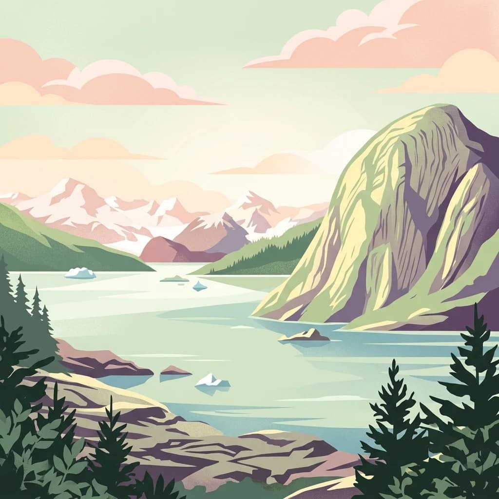
Glacial wilderness at the southernmost tip of the Andes
Alberto de Agostini National Park
Alberto de Agostini National Park is a vast protected wilderness spanning over 1.46 million hectares at the southernmost tip of South America, where the Andes mountain range reaches its final land-based expression before dissolving into a chain of islands plunging into the Pacific Ocean and Beagle Channel. Located in Chile's Magallanes Region, the park encompasses the dramatic Cordillera Darwin, a mountain range dominated by Monte Darwin and Monte Sarmiento, whose steep slopes drop precipitously to the sea through a landscape carved by ancient glaciers. This subpolar oceanic environment receives heavy precipitation and experiences extreme weather conditions, supporting a unique blend of Magellanic subpolar forests, extensive fjords, and active tidewater glaciers that remain dynamic features of the landscape. The park was established in 1965 and was jointly designated a UNESCO Biosphere Reserve with Cabo de Hornos National Park in 2005, recognizing its outstanding ecological significance as part of the Magallanes Sub-Polar Evergreen Rainforest.
- Location
- Chile
- Park type
- National park
- Established
- 1965
- Area
- 14,600 km²
- Highest point
- 2,488 m
Location overview
Island and coastal marine protected areas in Chile's Magallanes Region
Alberto de Agostini National Park Geographic Profile in Chile
Alberto de Agostini National Park is situated within the Magallanes Region of southern Chile. Designated records verify its status as a coastal, island, and marine protected landscape.
- Countries
- Chile
- Regions
- Magallanes Region
- Primary location
- Magallanes Region
- Geographic setting
- Coastal · Island · Marine
Boundary and coordinates
Spatial footprint and area measurements spanning 14,600 square kilometers
Boundary Maps and Geographic Limits of Alberto de Agostini National Park
Interactive boundary mapping provides essential spatial context for Alberto de Agostini National Park. Accompanying records detail calculated surface area, center points, and regional coordinate spans.
- Boundary area
- 26,270.2 km²
- Boundary perimeter
- 1,052.8 km
- Northernmost point
- 53.8874° S
- Southernmost point
- 55.6638° S
- Easternmost point
- 68.5125° W
- Westernmost point
- 73.1676° W
- Geographic centre
- 54.7954° S, 70.4798° W
- North–south span
- 197.8 km
- East–west span
- 299.5 km
Elevation and terrain
Mountain relief data and recorded physical features
Alberto de Agostini National Park Terrain and Elevation Profile
Alberto de Agostini National Park features recorded mountain relief reaching a maximum elevation of 2488 meters. Detailed feature cards document internal islands, peaks, bays, and lakes with spatial relationships.
- Maximum elevation
- 2,488 m
- Highest point
- 2,488 m
Selected named natural features
Capes
Punta Latitud
Bays
Estero Fouque
Islands
Isla Timbal Chico
Islands
Isla Dos Cumbres
Peaks
Cerro Jemmy Button
2,092 m
Environmental setting
Interpreting subpolar relief, marine waters, and glacial forest coverage
Alberto de Agostini National Park Environmental Classifications and Physical Setting
Recorded landscape features and habitat types provide structured categories for reading the physical setting of Alberto de Agostini National Park. These classifications connect stored environmental attributes to relevant atlas destinations across the protected terrain.
- Relief
- Mountain
- Climate
- Subpolar
- Water
- Water-dominated
- Forest cover
- Mostly forested
- Seasonality
- Seasonal
Landscape features
Mountains · Valleys · Cliffs · Forest · Wetland · Coast · Beach · Islands · Glacier
Habitat types
Boreal forest · Wetland · Coastal habitat · Marine habitat · Glacial habitat
Park atlas
Map the Geographic Proximity and Landscape Similarities of Protected Areas Across Southern Chile
Explore Other Protected Areas and National Parks Near Alberto de Agostini National Park
Browse a curated selection of national parks and protected areas geographically close to Alberto de Agostini National Park, revealing the diverse glacial landscapes and subpolar forests of Patagonia. Compare their unique conservation features, mapped terrain, and regional context to deepen your understanding of Chile's dramatic southern wilderness.

National parkMagallanes and Chilean Antártica Region
Park boundaries overlap#1 closest
Northwest

Kawésqar National Park: A National Park with Distinct Protected Landscape Identity
Explore the mapped geography and protected area boundaries.
Kawésqar National Park is a key national park entity situated within the Magallanes and Chilean Antártica Region, contributing to the protected landscape of southern Chile. This atlas-focused profile details the park's geographic scope and its significance as a designated protected area. It serves as an entry point for understanding the mapped terrain and regional park context, crucial for structured geographic discovery.
- Area
- 28,425.3 km²
- Established
- 1969
- IUCN
- IV
- Visitors
- 1.7K annual
National parkTierra del Fuego
Park boundaries overlap#2 closest
East
Yendegaia National Park: A Chilean Protected Landscape within Tierra del Fuego
Mapped geographic context and protected area discovery.
Yendegaia National Park in Tierra del Fuego, Chile, stands as a distinct protected area offering valuable insights into regional geography and landscape. This page serves as a focused entry point for understanding the park's mapped boundaries and its significance as a national park. Delve into the specific geography and protected natural landscape that defines Yendegaia National Park within the broader South American atlas context.
- Area
- 1,506.12 km²
- Established
- 2013
- IUCN
- II
- Relief
- Mountain
National parkArgentina
19 km away#3 closest
East

Tierra del Fuego National Park: Southernmost Argentinian National Park and Protected Landscape
Explore the mapped terrain and subantarctic geography of this vital protected area.
Tierra del Fuego National Park, located at the southern tip of South America, provides a crucial atlas perspective on subantarctic ecosystems. This protected national park encompasses dramatic glacial valleys, rugged mountain ranges, ancient beech forests, and a significant coastal area along the Beagle Channel. Its unique landscape, accessible from Ushuaia, offers rich opportunities for understanding regional geography and the distribution of protected lands at the continent's edge.
- Area
- 630 km²
- Established
- 1960
- IUCN
- II
- Relief
- Mountain

National parkMagallanes y Antártica Chilena Region
48 km away#4 closest
Southeast
Cabo de Hornos National Park
Mapped protected landscape in Magallanes y Antártica Chilena Region.
Cabo de Hornos National Park, in Chile. Landscapes: islands, coasts, and bogs.
- Area
- 630.93 km²
- Established
- 1945
- IUCN
- II
- Visitors
- 10.4K annual
National parkMagallanes y la Antártica Chilena Region
53 km away#5 closest
South
Diego Ramírez Islands and Drake Passage National Park: A Southern Ocean Protected Landscape
Explore its remote island geography and vital Drake Passage marine ecosystems.
This national park protects one of the world's most remote and ecologically significant subantarctic environments, safeguarding the Diego Ramírez Islands and the legendary Drake Passage. It covers over 14 million hectares, representing Chile's southernmost contribution to global marine conservation and protecting unique pelagic bird habitats, marine mammal feeding grounds, and distinctive submarine geomorphology including Sars Seamount. The park's landscape is characterized by harsh subantarctic conditions, with vegetation adapted to cold, windy environments, and unique seafloor terrain beneath the powerful Antarctic Circumpolar Current.
- Area
- 144,391 km²
- Established
- 2025
- IUCN
- II
- Climate
- Subpolar
National parkChile
227 km away#6 closest
North
Pali-Aike National Park: Chilean Protected Area and Landscape Atlas
Explore the geographic context and park boundaries in Chile.
Examine Pali-Aike National Park as a distinct protected landscape within Chile. This entry offers a detailed atlas perspective, focusing on its mapped boundaries, regional geographic setting, and the specific character of its natural terrain. Understand its significance as a national park and a point of interest for geographic discovery.
- Area
- 50.3 km²
- Established
- 1970
- IUCN
- II
- Visitors
- 2.5K annual
National parkAysén del General Carlos Ibáñez del Campo Region
277 km away#7 closest
Northwest
Bernardo O'Higgins National Park
Chile's largest protected area: a map of vast ice caps and fjords.
Bernardo O'Higgins National Park, in Aysén del General Carlos Ibáñez del Campo Region, Chile.
- Area
- 35,259 km²
- Established
- 1969
- IUCN
- II
- Visitors
- 36K annual
National parkMagallanes Region
307 km away#8 closest
Northwest
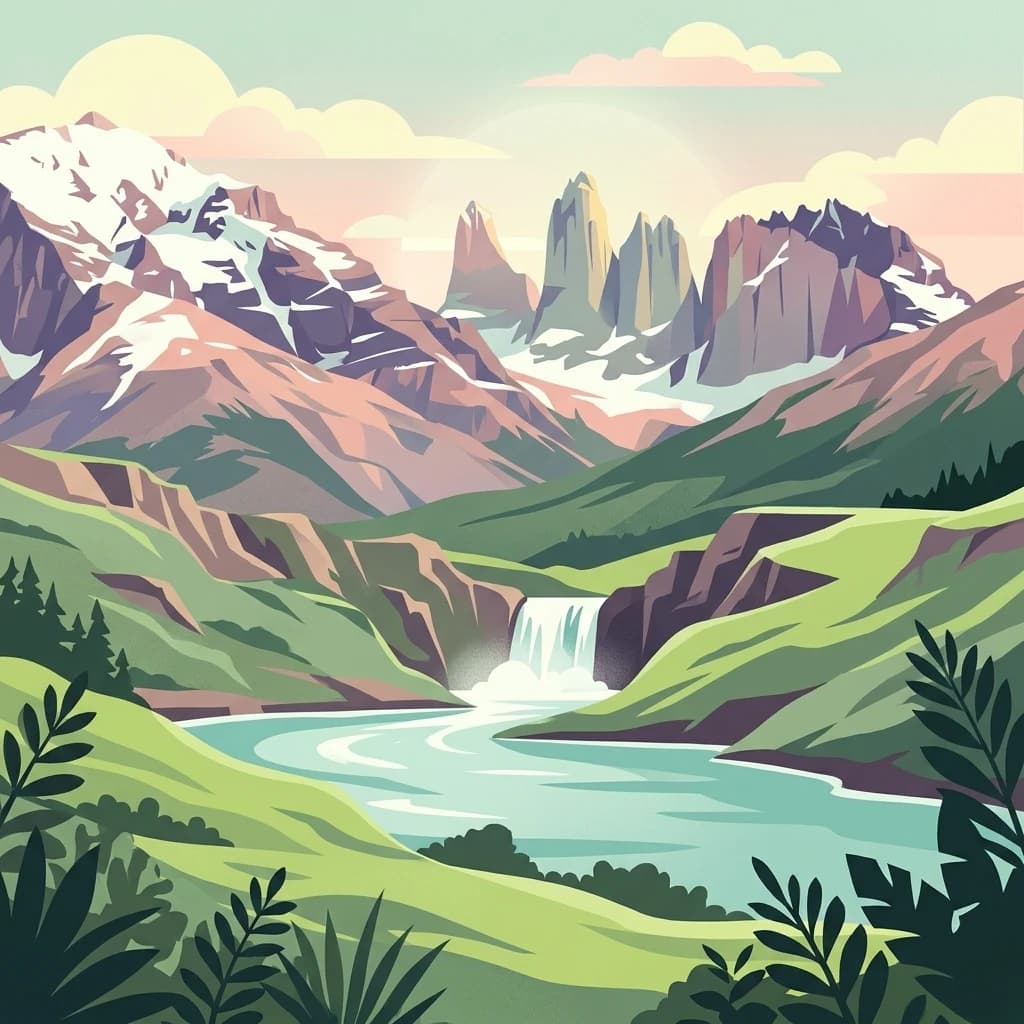
Torres del Paine National Park: National Park Protected Area Geography
Explore mapped protected landscapes and regional context.
Torres del Paine National Park represents a distinct protected landscape within Chile's Magallanes Region, offering valuable insights for geographic discovery and atlas exploration. This national park's mapped boundaries and unique terrain contribute to a comprehensive understanding of its protected status and environmental context. MoriAtlas provides structured data to explore the park's geography, landscape features, and its role as a vital protected natural area for detailed study.
- Area
- 1,814.14 km²
- Established
- 1959
- IUCN
- II
- Visitors
- 304.9K annual
MoriAtlas Explorer
Alberto de Agostini National Park
Explore the map, landscapes, and protection details for Alberto de Agostini National Park.
Browse next
Global natural geography
Explore related park routes
Explore MoriAtlas Global ParksBrowse All MoriAtlas ParksGlobal Park Map DiscoveryMoriAtlas: Browse All CountriesBrowse All MoriAtlas ContinentsNational Park Environment AtlasGrand Canyon National Park AtlasYellowstone National Park AtlasYosemite National Park Atlas and GeographySerengeti National Park AtlasGalápagos National Park Protected LandscapeBanff National Park Geography and AtlasKruger National Park Atlas EntryExplore Uluru-Kata Tjuta National Park GeographyPlitvice Lakes National Park AtlasFiordland National Park Protected LandscapeGreat Smoky Mountains National Park AtlasZion National Park Protected Landscape AtlasAfghanistan National Parks and Protected AreasAlbania National Parks and Protected AreasAlgeria National Parks and Protected AreasAmerican Samoa National Parks and Protected AreasAndorra National Parks and Protected AreasAngola National Parks and Protected AreasAntarctica National Parks and Protected AreasAntigua and Barbuda Park List