Mori Atlas logo
Park earthquake history

A structured catalogue of seismic activity indexed by location and distance to protected park boundaries.

Historical Earthquake Records for National Marine Park of Alonnisos Northern Sporades

Explore a verified collection of seismic events occurring in the vicinity of the National Marine Park of Alonnisos Northern Sporades. This database provides a transparent look at recorded earthquake history including magnitude and epicentre coordinates, allowing for an evidence based view of regional seismic patterns across the northern Aegean Sea ecosystems.

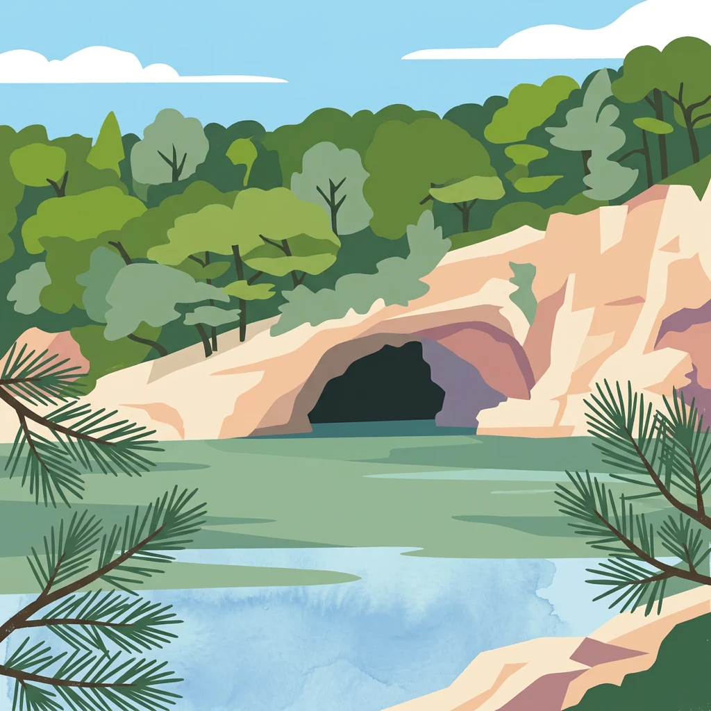
Illustrated coastal cave with green water, rocky cliffs, forested trees, and pine branches in the foreground

Europe's largest marine protected area protecting critical Mediterranean monk seal habitat

National Marine Park of Alonnisos Northern Sporades

The National Marine Park of Alonnisos Northern Sporades is Greece's first marine protected area and the largest in Europe, established by Presidential Decree on May 16, 1992. Located in the northern Aegean Sea within the Northern Sporades island group, the park encompasses approximately 2,260 square kilometers of marine and terrestrial ecosystems. The protected region includes the main island of Alonnisos, six smaller islands (Peristera, Kyra Panagia, Gioura, Psathoura, Piperi, and Skantzoura), and 22 uninhabited islets and rocky outcrops. This marine park represents a critical refuge for the endangered Mediterranean monk seal and supports extraordinary biodiversity across both its marine and terrestrial zones.

Location
Greece
Park type
Marine protected area
Established
1992
Area
2,260 km²
National Marine Park of Alonnisos Northern Sporades Protected Area

Review National Marine Park of Alonnisos Northern Sporades records by date, magnitude, and depth

Earthquake records by park distance for National Marine Park of Alonnisos Northern Sporades

Recorded earthquakes associated with National Marine Park of Alonnisos Northern Sporades are organized through epicentre geography and calculated park distance, not a causal or boundary claim. Each catalogue entry contributes its date, magnitude, depth, reported location, distance measurement, and source access for factual historical comparison.

Sort by
Magnitude
Location

This page describes catalogued earthquakes associated with the park by epicentre location and distance. It does not establish causation, assess current danger, or predict future earthquakes.

No earthquake records match the current filters

Park atlas

Continue from National Marine Park of Alonnisos Northern Sporades into wider park discovery

Explore other parks after National Marine Park of Alonnisos Northern Sporades

Beyond the National Marine Park of Alonnisos Northern Sporades earthquake records, a separate park collection supports continued atlas exploration. The destinations are not presented as sharing earthquake activity, marine status, geology, landscape, designation, proximity, or dedicated seismic content with the current park.
A horizontal watercolor painting showing a soft mountain landscape with green forests and a central light-colored area under a pale sky.
National parkGreece
About 94 km away#1 closest

South

Parc national du Parnès: Geographic Overview of the Attica Peninsula's Protected Massif

Explore the karst gorges, high-altitude fir forests, and protected red deer habitats

Parc national du Parnès dominates the northern skyline of Attica with a complex limestone massif featuring deep ravines like the Keladonas gorge. This atlas entry provides geographic insights into the park's summit network, karst features, and its critical role in Mediterranean forest resilience. Understand the rugged terrain and natural boundaries that define this essential protected area within Greece.

Area
38.16 km²
Established
1961
Relief
Mountain
Climate
Mediterranean
A soft, watercolor painting of a mountain range in the distance, featuring a band of evergreen trees in the midground and a grassy foreground on a plain white background.
National parkGreece
About 119 km away#2 closest

Southwest

Parc national du Mont Parnasse: Mapping the Limestone Massif and Alpine Geography of Greece

A protected national park blending karst geology and mountain ecosystems.

Parc national du Mont Parnasse stands as a prominent protected landscape in Central Greece, defined by its fractured limestone geology and subalpine forests. This national park serves as a vital ecological refuge that preserves karst terrain, sinkholes, and diverse Mediterranean mountain habitats rising toward steep alpine summits.

Relief
Mountain
Climate
Mediterranean
Scope
Terrestrial
Water
Minor water
Watercolor painting of a wide, rolling landscape with a forested horizon and distant mountains, rendered in soft, muted tones of pink, green, and gold on a white background.
Natural monumentLesvos
About 124 km away#3 closest

East

Lesvos Petrified Forest: Protected Volcanic Fossil Landscapes and Aegean Geological Atlas

Natural monument and ancient Miocene fossil forest zones in western Lesvos, Greece.

This protected natural monument preserves an early Miocene forest transformed into stone by volcanic activity. The landscape features fossilized coniferous trunks, including rare upright specimens, scattered throughout volcanic deposits and coastal andesite outcrops on the island of Lesvos. It serves as a vital reference for the geological history of the North Aegean region.

Area
150 km²
Established
1985
Relief
Upland
Climate
Subtropical
A soft watercolor illustration featuring a winding river flowing through green wetlands towards gentle rolling hills under a pale pink and light orange sky.
National parkGreece
About 142 km away#4 closest

Northwest

Parc national des lacs Korónia, Vólvi et du Témpi macédonien: Landscape and Map Atlas

Protected wetland basins and river gorge terrain in northern Greece

Spanning 159 square kilometers, this national park protects essential Mediterranean wetland habitats. Examine the unique intersection of Lake Korónia, the expansive Lake Vólvi, and the Richios River gorge that shapes the ecological character of this prominent Macedonian protected area.

Area
159.28 km²
Established
2004
IUCN
VI
Relief
Lowland
National parkGreece
About 148 km away#5 closest

South

Sounio National Park: Protected Coastal Geography and Mediterranean Terrain in Greece

A rugged maritime landscape on the Attica headland

Sounio National Park occupies the dramatic southernmost tip of the Attica peninsula in Greece. The protected area features vertical limestone cliffs, scrub-covered coastal hills, and a strategic headland overlooking the Aegean. This atlas entry provides a detailed look at the park boundaries, surrounding maritime geography, and the unique integration of classical heritage sites within an exposed Mediterranean conservation zone.

Area
0.75 km²
Established
1974
Relief
Upland
Climate
Mediterranean
Watercolor painting of a mountain range, pine trees, and a small stream in the foreground against a light, misty background.
National parkThessaly
About 151 km away#6 closest

Northwest

Olympus National Park: Protected Mountain Landscapes and Geographic Mapping of Northern Greece

High mountain terrain, forest zones, and protected boundaries

Olympus National Park preserves the towering summit of Mount Olympus and its surrounding canyons. This record highlights the park's geologic structure, its diverse vegetation zones ranging from Bosnian pine to alpine grasslands, and its status as a cornerstone of the natural geography spanning the borders of Thessaly and Central Macedonia.

Area
39.88 km²
Established
1938
IUCN
II
Visitors
180K annual
Watercolor depiction of a river delta with green fields, a winding river, wildflowers, and distant hills
National parkCentral Macedonia
About 161 km away#7 closest

Northwest

Axios Delta National Park: Central Macedonia's Premier Protected Wetlands and Bird Sanctuary

Mapping the unique geography of this vital European bird migration corridor.

Axios Delta National Park is a significant protected wetland located in Central Macedonia, Greece, renowned for its role as a critical stopover and breeding ground for countless bird species along the East Atlantic Flyway. The park's landscape is shaped by the Axios, Haliacmon, Loudias, and Gallikos river deltas, creating a dynamic mosaic of lagoons, reedbeds, and coastal dunes. As a Ramsar site and Natura 2000 network area, it highlights the importance of understanding mapped protected landscapes and their regional geographic context for conservation efforts. Explore the distinct natural features and ecological significance of this unique delta.

Area
338 km²
Established
2009
IUCN
VI
Relief
Lowland
Watercolor illustration of a landscape featuring rolling hills, trees, and a small body of water
Protected areaTurkey
About 167 km away#8 closest

Northeast

Ancient Troya National Park: A Mapped Protected Landscape with Deep Historical Significance

Explore the terrain and protected boundaries of this key Turkish heritage site.

Ancient Troya National Park offers a unique window into history, preserving the layers of the ancient city of Troy within its protected boundaries. Situated in Turkey, this park encompasses a significant archaeological site on a commanding hilltop, overlooking rolling Mediterranean terrain and coastal plains. Its landscape, characterized by fortified walls, gates, and the remnants of ancient structures, provides a rich context for understanding its mythological and historical importance. MoriAtlas provides detailed mapping and geographic context for this vital protected area, enhancing its atlas exploration value.

Established
1996
IUCN
II
Relief
Lowland
Climate
Mediterranean
MoriAtlas Explorer

Continue exploring the National Marine Park of Alonnisos Northern Sporades's geographic and protected landscape context

Deepen your understanding of the National Marine Park of Alonnisos Northern Sporades by delving into its specific mapped boundaries and the unique geographic features that define this vital marine protected area. Explore its significance within the broader regional atlas and discover more about its critical role in safeguarding Mediterranean marine ecosystems and biodiversity through structured geographic data.