West
Majuro Atoll
Regional atoll atlas and protected lagoon geography.
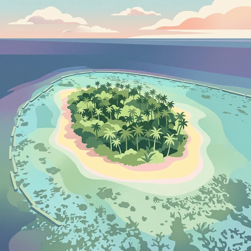
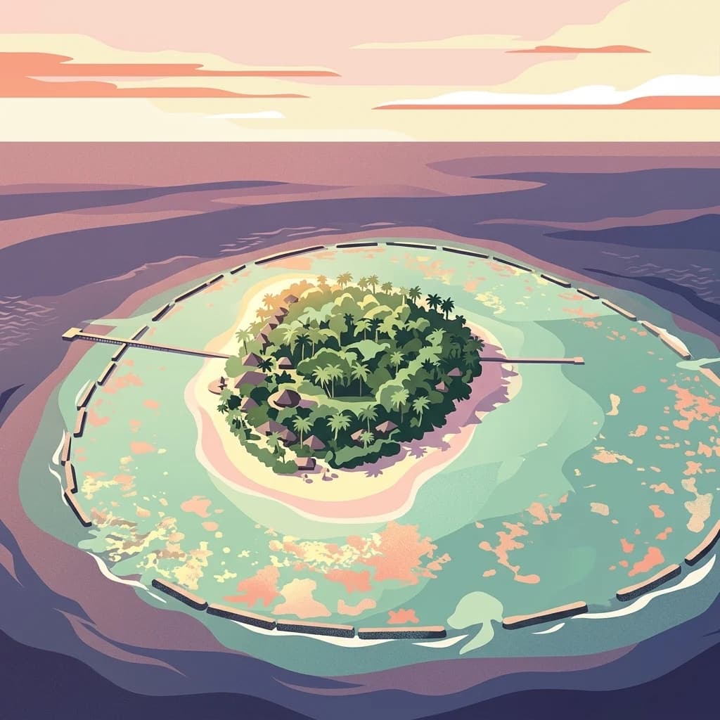
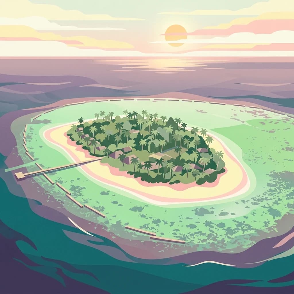
Majuro Atoll, in Marshall Islands. Landscapes: coasts, beaches, and islands.
- Area
- 9.7 km²
- Relief
- Lowland
- Climate
- Tropical
- Access
- Moderate access
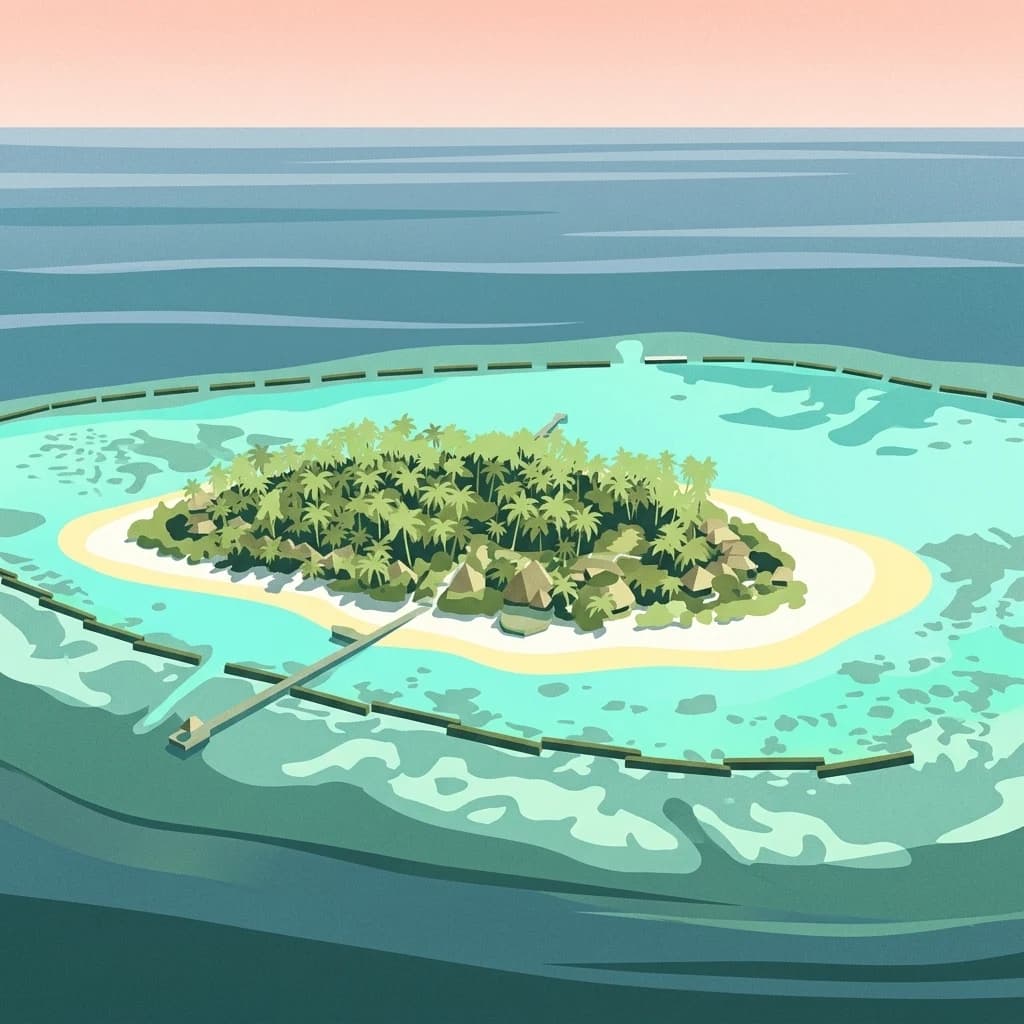
Regional mapping of coral atolls and protected landscape connections
Examine the geographic distribution of protected areas surrounding Arno Atoll. This spatial overview traces the regional network of coral atoll systems and reef environments within the Marshall Islands, providing context for the nearby protected landscapes and oceanic zones.

A coral atoll of 133 islands in the Ratak Chain, enclosing three rare lagoons near Majuro.
Arno Atoll is a coral atoll of 133 islands in the North Pacific Ocean, forming one of the legislative districts of the Ratak Chain in the Republic of the Marshall Islands. Although its land area covers only about 5 square miles, the atoll encloses a complex lagoon system that is far larger, including a vast central lagoon and two smaller lagoons in the north and east, an unusual configuration among atolls worldwide. The atoll sits only about 20 kilometers from Majuro, the national capital, and on clear days at low tide it can be seen from Majuro looking east. This proximity has shaped both its visibility within the Marshall Islands and its role as a populated, productive community, with people spread across several islets and the village of Ine serving as a key settlement. Arno is culturally distinctive within the Marshall Islands. Its people have long been known for copra production and for their woven Kili Bag handicrafts, and the atoll forms part of a broader Marshallese tradition of atoll-based seafaring, weaving, and lagoon resource use.
See the ranked park cluster in its geographic setting
Geographic proximity and spatial relationships across regional park geography

West
Regional atoll atlas and protected lagoon geography.
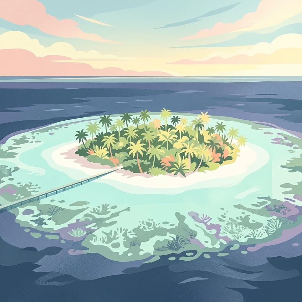
Majuro Atoll, in Marshall Islands. Landscapes: coasts, beaches, and islands.

South
Mapped coral atoll terrain in the Ratak Chain
Mili Atoll represents a complex protected landscape in the central Pacific, defined by its massive lagoon and distributed ring of 92 islets. Gain a deeper understanding of its physical geography, including tidal reef flats, low-lying coral formations, and the enduring historical artifacts that shape the contemporary environment of this significant Marshall Islands site.

Southwest
Coastal reef and lagoon geography of the Ralik Chain
Jaluit Atoll constitutes a sprawling nature reserve in the Marshall Islands, characterized by its kite shaped lagoon and 91 low lying coral islets. As a recognized Ramsar wetland site, this protected area offers a deep look into Pacific atoll structure and the interplay between marine conservation and historical heritage. The atoll remains a central geographic feature of the Ralik Chain.
Northwest
Pacific atoll terrain, lagoon systems, and island geography
Study the geographic composition of Ailuk Atoll, featuring its classic ring of coral islets, deep-water reef passes, and vast central lagoon. This protected area offers insight into the subsidence-driven formation of Marshallese island chains and the enduring human reliance on traditional maritime navigation within a fragile Pacific ecosystem.

Northwest
Coral atoll geography and historical colonial landscape features
Likiep Atoll consists of 65 islands encircling a 424 square kilometer lagoon. As a protected area in the Marshall Islands, it offers insight into low lying atoll topography, unique marine environments, and the cultural remnants of successive colonial administrations.

West
A remote Ramsar-recognized coral atoll and marine wetland.
Namdrik Atoll is a distinctive coral atoll within the Ralik Chain of the Marshall Islands, recognized for its exceptional mangrove forests and protected marine ecosystems. This area consists of two wooded islands enclosing a large lagoon without navigable passes, creating an isolated habitat for sea turtles and diverse reef life. Explore the geography of this small, ecologically significant protected land that represents the unique environmental character of the central Pacific.

Northwest
Pacific coral atoll structure and lagoon geography
Kwajalein Atoll represents a mature coral formation encompassing an immense lagoon within the Ralik Chain. The landscape consists of low-lying islets and interconnected reef structures that define the maritime geography of the Marshall Islands. This assessment provides a focus on the structural, mapped, and physical attributes that distinguish this protected site within the wider Pacific regional context.

North
A pristine, uninhabited coral sanctuary and critical Pacific marine habitat.
Bikar Atoll is a remote, diamond-shaped coral ring located in the Ratak Chain of the Marshall Islands. Defined by its shallow lagoon, continuous reef structure, and arid islets, the atoll serves as a vital nesting site for seabirds and green turtles. This protected area remains one of the most ecologically undisturbed sites in the Pacific, offering rare insight into natural atoll morphology and island conservation.

Northwest
Remote coral atoll geography and lagoon structures in the Ralik Chain.
Rongerik Atoll presents a textbook example of Pacific atoll geography, where a cluster of small islets encloses an expansive lagoon. As a protected area located in the remote Marshall Islands, this site serves as a vital point of study for understanding coral reef systems and the isolated island terrain of the Ralik Chain. The landscape provides clear insights into the physical contrast between narrow coral landmasses and the deep interior waters characteristic of the region.

Northwest
Coral atoll terrain in the Pacific Ralik Chain
Located in the Ralik Chain of the Marshall Islands, Rongelap Atoll consists of 61 low-lying coral motus that enclose a lagoon covering 2,600 square kilometers. The atoll serves as a significant geographic study area, known for its distinct reef-built structure and its enduring role in Pacific history. This protected area continues to represent the ecological and cultural complexity of the Micronesian archipelago.
Northwest
Remote coral atoll landscape in the Marshall Islands
Uncover the geographic structure of Ailinginae Atoll, an uninhabited coral ring in the Marshall Islands characterized by its expansive internal lagoon and narrow island segments. This protected area offers significant insight into the terrain of low-lying Pacific atoll ecosystems and their role within the Ralik Chain geographic framework.

North
A remote coral atoll with a rare perched lagoon and pristine reef ecosystem
Bokak Atoll represents a primary example of an undisturbed central Pacific coral atoll, defined by its lack of introduced species and its striking perched lagoon. The landscape consists of low coral islets along a crescent reef, creating a specialized habitat for seabird colonies and stony coral reefs. This geographic overview examines the atoll's isolation and its status as a critical protected natural area within the wider Marshall Islands territory.

West
Mapping the intersection of volcanic forest and coral reef systems.
Utwe-Walung Marine Park encompasses a contiguous protected area on the island of Kosrae, featuring a dramatic transition from dense interior rainforests to sheltered mangrove inlets and vibrant nearshore coral reefs. This conservation zone is known for its high-quality habitat continuity and serves as a significant example of community-managed island ecosystems within the Federated States of Micronesia.
West
Geographic overview of Pohnpei's primary marine biosphere reserve
Trace the geography of And Atoll Biosphere Reserve, a distinct ring-shaped coral formation in Pohnpei, Micronesia. This profile examines the protected marine boundaries, lagoon structure, and forested island islets that sustain green and hawksbill turtle nesting grounds and diverse reef ecosystems.
West
A remote and uninhabited Pacific coral atoll conservation landscape
Kuop stands as a primary example of large scale marine protection, characterized by its elongated reef structure and central lagoon. This uninhabited Micronesian atoll provides a unique opportunity to study pristine coral ecosystems and remote island geography far from coastal development.
Southeast
Discover protected marine landscapes across American Samoa's region.
Investigate the National Marine Sanctuary of American Samoa, a protected marine area with distinct geographic relevance. This detailed view focuses on its mapped boundaries and its role as a protected landscape within the broader atlas of American Samoa. Understand the unique environmental context and protected-area significance that shapes this marine sanctuary.
Northeast
A sprawling marine reserve spanning Northwestern Hawaiian islands and atolls.
Papahānaumokuākea Marine National Monument covers a vast expanse of the Pacific, including coral reefs, submerged banks, and ten islands and atolls. This protected area offers significant insights into remote oceanic geography, featuring critical habitats for endemic species and layered maritime historical sites. Explore the structural map and landscape composition of this immense marine protected zone.

Southeast
Explore park boundaries and regional natural terrain.
Lake Lanoto'o National Park represents a crucial protected area on the island of Upolu, Samoa. This page provides detailed geographic information, focusing on the park's mapped boundaries and its contribution to the natural landscape of the region. Understand its role as a national park and its position within the broader atlas of protected lands, offering insight into the island's unique geography.

Southeast
Mapped terrain and protected landscape context for this Samoan national park.
Understand O Le Pupu-Puʿe National Park as a significant protected area within Samoa's archipelago. This detail entry provides essential geographic context, mapping its boundaries and situating it within the nation's protected lands. Explore the park's role as a national park and its contribution to the mapped natural landscape of Samoa.

Southeast
Discover its island geography and protected area context.
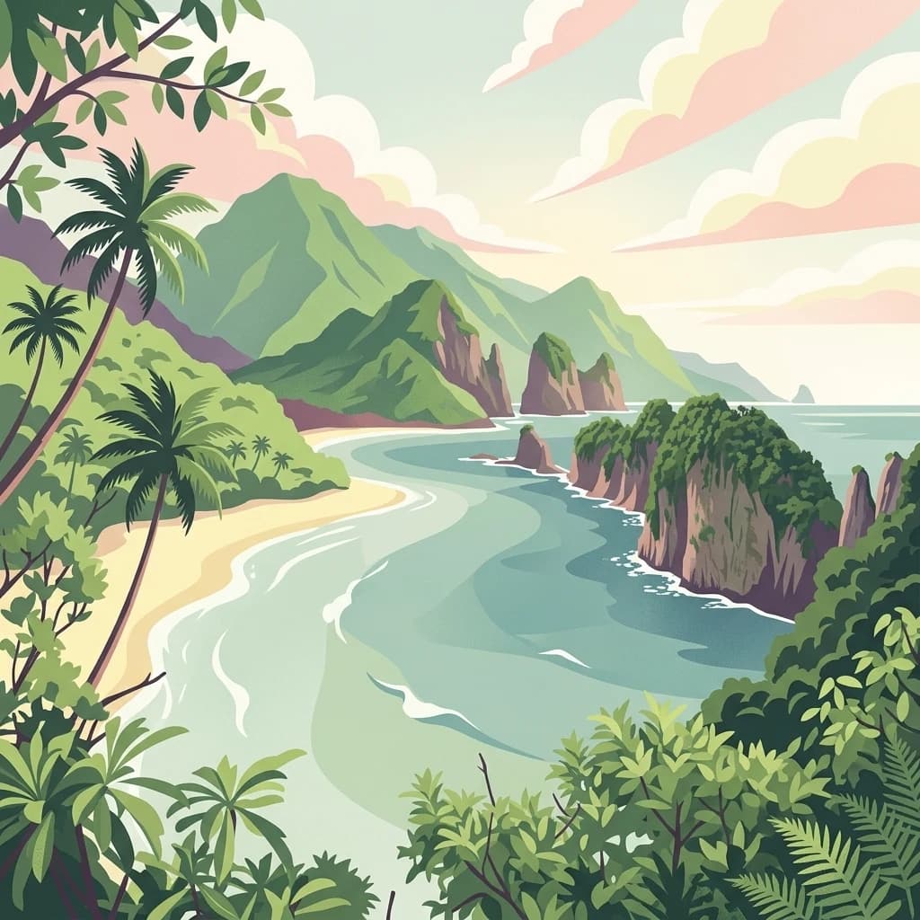
National Park of American Samoa, in United States of America. Landscapes: mountains, cliffs, and forests.
Geographic measurements, not driving distances
Calculated between the nearest points of both park boundaries.
Estimated from one mapped park location to the nearest boundary of the other park.
Estimated between the mapped locations of both parks.
Deepen your understanding of Arno Atoll through this detailed MoriAtlas entry. Examine the unique triple lagoon system, the distribution of its 133 islands, and its position within the broader geography of the Marshall Islands.