Mori Atlas logo
Nearby park discovery

Visualize regional landscape context and surrounding conservation boundaries

Geographic Discovery of Protected Areas and National Parks Near Banff National Park

Trace the distribution of protected landscapes and national parks surrounding Banff National Park. This geographic overview highlights neighboring wilderness areas and mountain terrain to clarify the regional context of this Canadian Rocky Mountain protected zone through map-based spatial relationships.

Related tags

Canadian RockiesUNESCO World Heritage SiteGlaciersIce FieldsMountain Parks

Canada's first national park, a UNESCO World Heritage Site protecting iconic Rocky Mountain landscapes, glaciers, and diverse ecosystems

Banff National Park

Banff National Park is Canada's first national park, established in 1885 as the Banff Hot Springs Reserve and later expanded through the Rocky Mountains Park Act of 1887. Located in Alberta's Rocky Mountains approximately 110-180 kilometres west of Calgary, the park encompasses 6,641 square kilometres of mountainous terrain featuring glaciers, ice fields, dense coniferous forests, and alpine landscapes. The park is part of the larger Canadian Rocky Mountain Parks World Heritage Site, recognized by UNESCO in 1984 for outstanding natural universal values including mountain peaks, glaciers, lakes, waterfalls, canyons, and fossil beds. The main commercial centre is the town of Banff in the Bow River valley, while the village of Lake Louise serves as another key access point. The park shares boundaries with Yoho National Park to the west, Kootenay National Park to the south, and Jasper National Park to the north, creating a contiguous protected corridor through the Canadian Rockies.

Location
Canada
Park type
National park
Established
1885
Area
6,641 km²
Highest point
3,612 m
Banff National Park Geography and Atlas
Regional park map

See the ranked park cluster in its geographic setting

Nearby parks around Banff National Park

This regional map shows the same 20 nearby parks ranked below around Banff National Park. Select a ranked marker to highlight that park’s boundary where boundary data is available.
Reference park: Banff National ParkRanked nearby parkSelected boundary: Banff National Park20 nearby parks shown
20 nearby parks

Distance-ranked protected landscapes and regional park geography surrounding Banff National Park

Parks and Protected Areas Geographically Near Banff National Park

Explore a distance-ranked collection of nearby protected areas surrounding Banff National Park by measuring direct geographic separation from park boundaries. These structural comparison signals reveal surrounding conservation patterns and regional environmental contexts across the broader mountain geography.
National parkAlberta
Park boundaries overlap#1 closest

Northwest

Jasper National Park National Park: Mapped Protected Landscape and Alberta Geography

Explore Alberta's regional park context and natural terrain.

Jasper National Park is a key protected national park in Alberta, Canada, offering extensive natural landscapes. This park page details its precise geographic location, outlines its protected boundaries, and provides context within the regional geography of Western Canada. Discover the mapped terrain and the park's significance as a protected area within a broader atlas perspective.

Area
10,878 km²
Established
1907
IUCN
II
Visitors
2.4M annual
National parkBritish Columbia
Park boundaries overlap#2 closest

South

Kootenay National Park: National Park Protected Landscape and Geographic Context

Explore Kootenay National Park's mapped terrain and regional geography.

Kootenay National Park is a protected national park located in British Columbia, Canada. This dedicated detail page provides an atlas-style exploration of its geographic identity, focusing on its mapped boundaries and the surrounding natural terrain. Understand how Kootenay National Park fits into the larger regional geography, offering rich context for protected landscape discovery and analysis.

Area
1,406 km²
Established
1920
IUCN
II
Visitors
574.1K annual
National parkBritish Columbia
Park boundaries overlap#3 closest

West

Yoho National Park: Mapped Protected Area in British Columbia's Geography

Exploring the park's protected boundaries and terrain.

Yoho National Park is presented here as a distinct national park within British Columbia's vast geographic framework. This page provides a structured view of its protected land status, allowing for detailed exploration of its mapped boundaries and surrounding natural landscapes. Understand Yoho National Park's place in the Canadian atlas through its specific geographic features and protected area context.

Area
1,313 km²
Established
1886
IUCN
II
Visitors
663.9K annual
National parkColumbia-Shuswap Regional District
44 km away#4 closest

West

Glacier National Park: A National Park within Canada's Protected Landscape Atlas

Explore its mapped boundaries and regional geography.

Glacier National Park represents a significant protected area entity within the broader Canadian geography. This page offers an atlas-oriented perspective on its identity as a national park, focusing on its mapped geographic spread and role as a conservation landscape. Users can explore the park's place within the Columbia-Shuswap Regional District and understand its distinct contribution to the national protected area framework.

Area
1,349 km²
Established
1886
IUCN
II
Visitors
4M annual
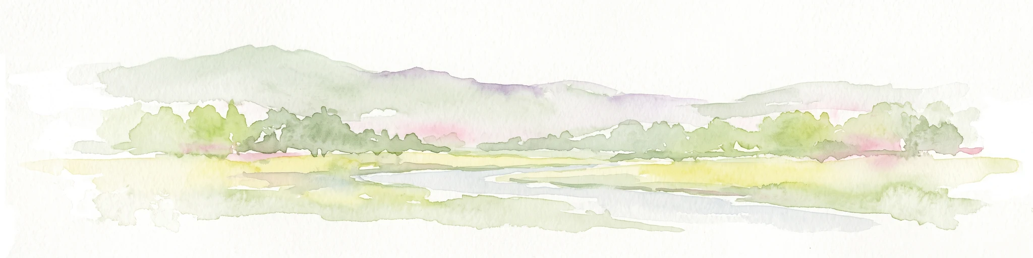
A soft watercolor illustration of a low lying river valley with trees and distant hills against a white background.
Wildlife reserveAlberta
About 85 km away#5 closest

East

Inglewood Migratory Bird Sanctuary: Federal Wildlife Reserve and Riparian Corridor Map

Protected riparian ecosystems along the Bow River in Alberta.

Analyze the geography of the Inglewood Migratory Bird Sanctuary, a federal wildlife reserve in Calgary, Alberta. This site preserves rare cottonwood floodplain forest and river habitats that serve as a critical stopover for migratory birds, offering a unique look at how protected landscapes persist within urban environments.

Area
1.11 km²
Established
1929
Relief
Lowland
Scope
Terrestrial
National parkBritish Columbia
91 km away#6 closest

West

Mount Revelstoke National Park: Explore Protected Landscape Geography and Mapped Boundaries

British Columbia's National Park Atlas Entry

Delve into the protected landscape of Mount Revelstoke National Park, a critical national park located in British Columbia. This entry provides a detailed look at its mapped geographic extent and protected area identity, offering valuable context for regional atlas exploration. Understand the park's distinct contribution to the mapped natural landscapes of Canada.

Area
260 km²
Established
1914
IUCN
II
Visitors
775.2K annual
State or regional parkBritish Columbia
About 128 km away#7 closest

Northwest

Pyramid Creek Falls Provincial Park: Mapped Geography and Protected Natural Landscape

Glacial cascades and North Thompson River valley terrain

This protected area centers on a vertical, two-stage waterfall spilling from a hanging valley high above the North Thompson River. Characterized by its glacier-fed creek and steep forested slopes, the park functions as a key geological landmark within the rugged, mountainous interior of British Columbia.

Wildlife reserveAlberta
141 km away#8 closest

Northeast

Red Deer Migratory Bird Sanctuary: Geographic Overview and Protected Wetland Map

Aspen Parkland terrain in central Alberta, Canada

The Red Deer Migratory Bird Sanctuary preserves a key wetland corridor defined by the Gaetz Lakes oxbows. This protected reserve offers a look at the native Aspen Parkland ecoregion, blending shrubland and forest patches that provide essential sanctuary for migratory waterfowl. The mapped area illustrates how this federal reserve maintains a natural landscape mosaic amidst the surrounding urban geography of central Alberta.

Area
1.3 km²
Established
1924
Water
Major water bodies
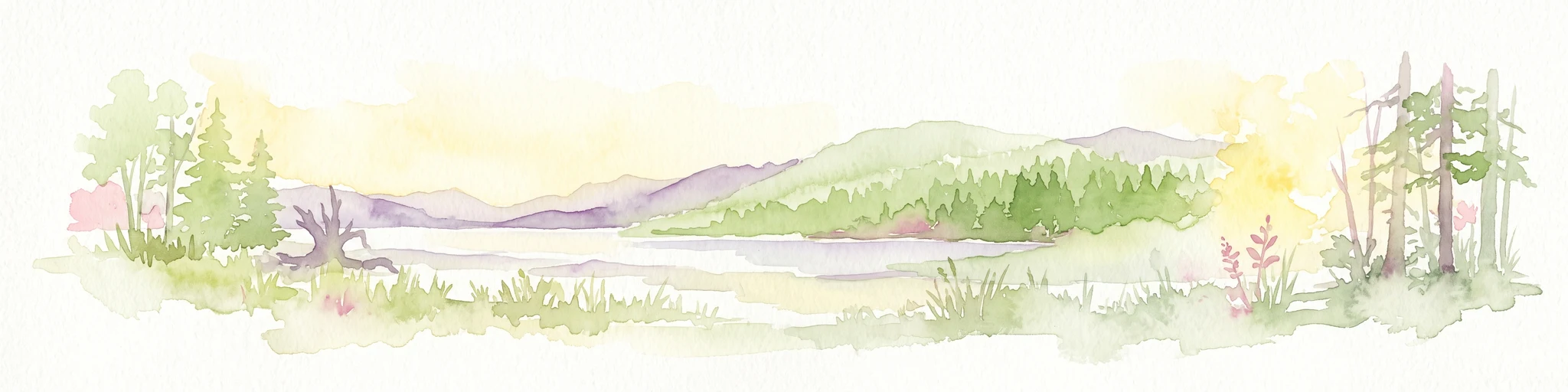
A watercolor painting showing a serene lake view with forested shoreline, grassy foreground, and rolling mountains in the distance, set against a soft, light background.
State or regional parkBritish Columbia
About 184 km away#9 closest

West

Mara Provincial Park: Protected Shoreline and Geographic Features in British Columbia

Mapping the Shuswap region's essential day-use lakeshore environment

Situated on the southern edge of Mara Lake, Mara Provincial Park functions as a key protected site in the Shuswap region of British Columbia. This area provides public access to sandy beaches and serves as the primary boat launch for the surrounding interior lake system, preserving natural terrain against private lakeshore development.

Area
0.05 km²
Established
1958
IUCN
II
Relief
Lowland
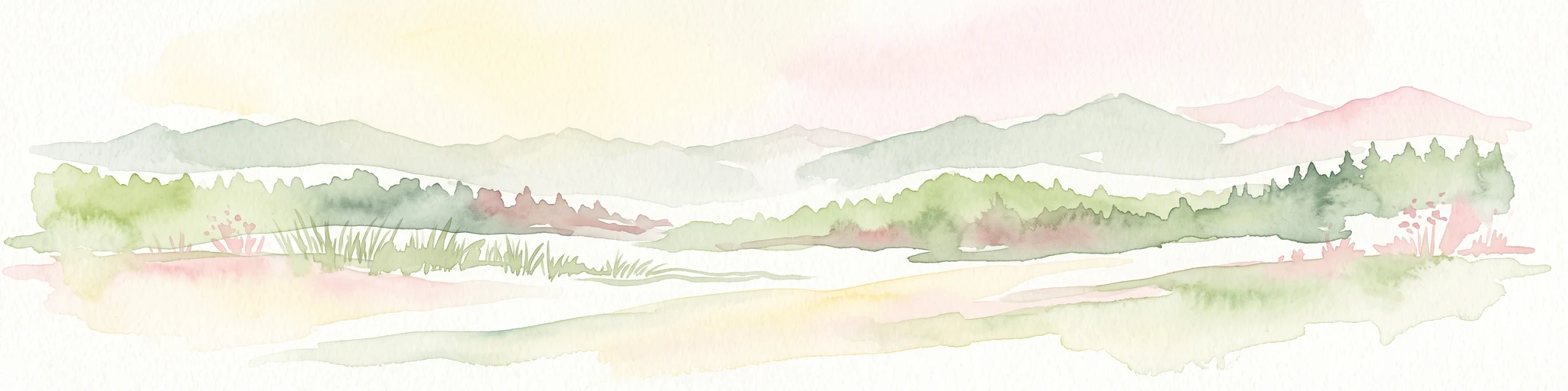
A soft watercolor painting depicting rolling mountains in the background with a line of forest in the midground and open terrain in the foreground.
Protected landscapeMontana
190 km away#10 closest

South

Kootenai National Forest: Geography and Protected Land Map for Northwestern Montana

Northern Rockies mountain ranges and watershed analysis.

Spanning over two million acres, Kootenai National Forest represents a critical protected landscape in the Northern Rockies. This atlas entry details the interplay between the Cabinet Mountains, regional river systems like the Kootenai and Clark Fork, and the dense conifer forests that define this uniquely wet corner of Montana.

Area
8,900 km²
Established
1907
Relief
Mountain
Climate
Temperate
National parkAlberta
193 km away#11 closest

Southeast

Waterton Lakes National Park: Alberta's Protected Landscape and Geographic Atlas

Explore mapped boundaries and regional terrain context.

Waterton Lakes National Park represents a vital protected area situated within the province of Alberta. This atlas view focuses on its mapped boundaries and the characteristic natural terrain, providing essential geographic context for understanding its significance. Discover its role as a national park and its placement within the regional geography of Western Canada, ideal for users seeking structured data on protected lands and landscape features.

Area
505 km²
Established
1895
IUCN
II
Visitors
475.8K annual
National parkMontana
200 km away#12 closest

Southeast

Glacier National Park: A Montana National Park with Distinct Protected Landscape Geography

Explore its mapped boundaries and regional natural terrain.

Glacier National Park represents a significant national park entity within Montana, providing a unique lens for understanding protected landscapes and regional geography. As a key component of the US protected areas network, it offers valuable insights into mapped park boundaries and the surrounding natural terrain. This page serves as a gateway to exploring the specific geographic context and landscape identity of Glacier National Park.

Area
4,100.77 km²
Established
1910
IUCN
II
Visitors
2.9M annual
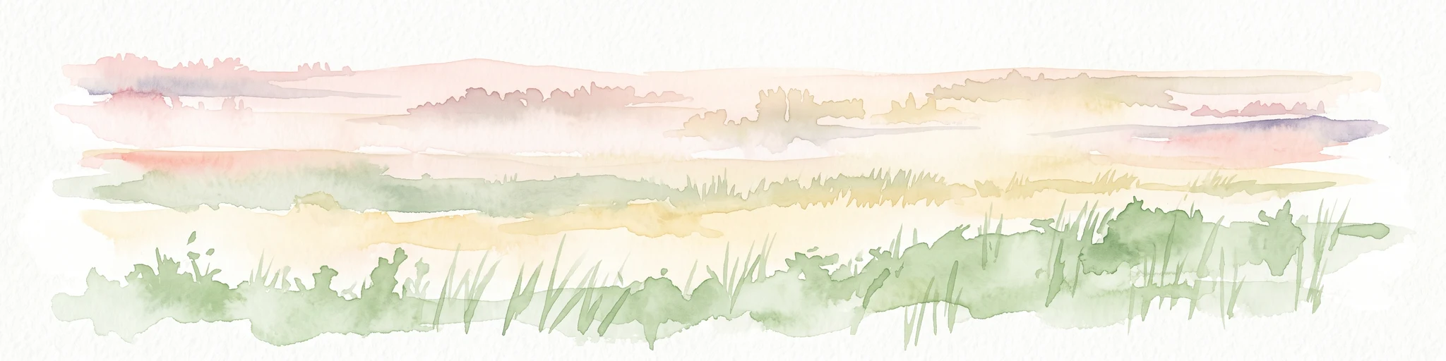
A horizontal watercolor painting depicting a soft-focus prairie landscape with grasses and rolling hills.
Wildlife reserveAlberta
About 215 km away#13 closest

East

Spiers Lake National Wildlife Area: Mapping Native Grasslands in Central Alberta

A federally managed reserve for rare prairie flora and bird populations.

Located in the County of Stettler, Spiers Lake National Wildlife Area protects one of the remaining fragments of native fescue prairie in Alberta. The reserve provides essential habitat for rare plants and grassland birds, offering a focused look at the original prairie matrix before agricultural conversion. It is a key example of Canadian federal conservation policy preserving vanishing grassland biodiversity.

Area
0.64 km²
Established
1982
IUCN
Ia
Scope
Terrestrial
Protected landscapeBritish Columbia
About 234 km away#14 closest

Southwest

Graystokes Provincial Park: Geographic Overview of British Columbia Protected Wilderness

Exploring the Okanagan Highland plateau and alpine wetland systems

Graystokes Provincial Park functions as a key protected landscape in the British Columbia interior. This backcountry expanse is defined by its rolling plateau terrain, encompassing alpine wetlands, meadows, and riparian habitats set against a backdrop of Engelmann spruce and subalpine fir forests.

Area
119.58 km²
Established
2001
Relief
Highland
Climate
Alpine
State or regional parkBritish Columbia
About 236 km away#15 closest

Southwest

Kalamalka Lake Provincial Park and Protected Area: Mapped Geography and Regional Context

A conservation landscape of the North Okanagan valley

Kalamalka Lake Provincial Park and Protected Area preserves 978 hectares of essential grassland and lakeshore habitats in British Columbia. The area features a complex mosaic of open meadows and mixed forest stands, offering a detailed perspective on the ecological transitions found within the Okanagan Valley. Its geography is defined by the shimmering turquoise waters of Kalamalka Lake, reflecting the unique interplay between seasonal mineral shifts and the surrounding arid terrain.

Area
9.78 km²
Established
1975
IUCN
II
Relief
Upland
State or regional parkBritish Columbia
About 255 km away#16 closest

West

Porcupine Meadows Provincial Park: Protected Interior Landscapes and Plateau Geography

High-elevation sub-alpine meadows on the Bonaparte Plateau

Porcupine Meadows Provincial Park serves as a critical protected area within the interior of British Columbia. The terrain is characterized by expansive sub-alpine meadows, boggy wetland complexes, and mature old growth forest stands. This remote high-elevation environment offers a unique look at the plateau geography situated west of the North Thompson River, highlighting the transition between alpine habitats and forest interior.

Area
27.04 km²
Established
1996
IUCN
II
Relief
Upland
State or regional parkBritish Columbia
About 256 km away#17 closest

Southwest

King George VI Provincial Park: Protected Riparian Woodland in Southeastern British Columbia

Ecological atlas of old growth cottonwood habitats

King George VI Provincial Park functions as a significant conservation enclave in southeastern British Columbia, known for its dense stands of old growth black cottonwood. These mature trees create a unique closed canopy environment that serves as critical nesting ground for specialized bird species. This park represents a focused, passive protected area that preserves rare riparian forest structure against a backdrop of regional highway corridors and mixed use terrain.

Area
1.619 km²
Established
1937
IUCN
III
Relief
Lowland
A horizontal watercolor illustration depicting gentle green hills, a small grove of trees, and a pale ground plane against a white background.
Protected areaBritish Columbia
About 263 km away#18 closest

West

Lac du Bois Grasslands Protected Area: Mapped Geography and Interior Plateau Landscapes

Exploring dryland ecosystems and native prairies in British Columbia.

Located in the Thompson-Nicola Regional District, this protected area spans over fifteen thousand hectares of rolling hills and elevated rocky benches. It remains a flagship example of interior plateau conservation, preserving a unique ecological gradient that stretches from arid sagebrush-covered terrain up into denser montane coniferous forest communities.

Area
157.12 km²
Established
1996
IUCN
II
Relief
Upland
National parkAlberta
274 km away#19 closest

Northeast

Elk Island National Park: National Park Protected Landscape and Alberta Geography

Discover the mapped terrain and protected boundaries.

Elk Island National Park, a designated national park in Alberta, Canada, offers a distinct protected landscape for geographic exploration. This detail page focuses on its mapped boundaries, regional setting within Western Canada, and the specific natural terrain that constitutes its protected area. Users can gain a structured understanding of Elk Island National Park's role as a conserved natural entity, ideal for atlas-based discovery and geographic context.

Area
194 km²
Established
1913
IUCN
II
Visitors
401.9K annual
State or regional parkBritish Columbia
About 281 km away#20 closest

Southwest

Jewel Lake Provincial Park: Geography and Protected Landscapes in British Columbia

A ridge-flanked valley lake with historic mining heritage

Jewel Lake Provincial Park preserves a narrow, forty-nine hectare freshwater ecosystem in the Boundary region of British Columbia. The area provides a detailed look at ridge-flanked mountain terrain and the historical mining landscape that defines this section of the West Kootenay-Boundary corridor.

Area
0.49 km²
Established
1981
IUCN
II
Climate
Temperate
Distance methodology

Geographic measurements, not driving distances

How nearby park distances are calculated

Distances use park boundaries whenever the available geometry allows it. When one or both boundaries are missing, the mapped park locations provide a clearly labelled estimate. Every value represents straight-line geographic separation and does not use roads or routing.

Boundary distance

Calculated between the nearest points of both park boundaries.

Location-to-boundary estimate

Estimated from one mapped park location to the nearest boundary of the other park.

Mapped-location estimate

Estimated between the mapped locations of both parks.

MoriAtlas Explorer

Continue Exploring Banff National Park's Protected Landscape and Geographic Details

Delve deeper into the mapped geography and protected area specifics of Banff National Park. Understanding its unique landscape context within Canada offers valuable insights for regional geographic exploration and detailed atlas-based study. Continue your discovery of Banff National Park's natural terrain and its role as a protected national park.