Mori Atlas logo
Park earthquake history

A documented catalogue of seismic events recorded in the landscape surrounding the park plateau.

Historical Earthquake Records and Seismic Activity Near Barrington Tops National Park

This collection provides a structured overview of historical earthquake events associated by epicentre proximity to Barrington Tops National Park. Review specific records including event dates, magnitude readings, and relative distances to the park boundary as sourced from geographic datasets. The information provides a clear historical perspective on recorded seismic occurrences within this mountainous New South Wales region.

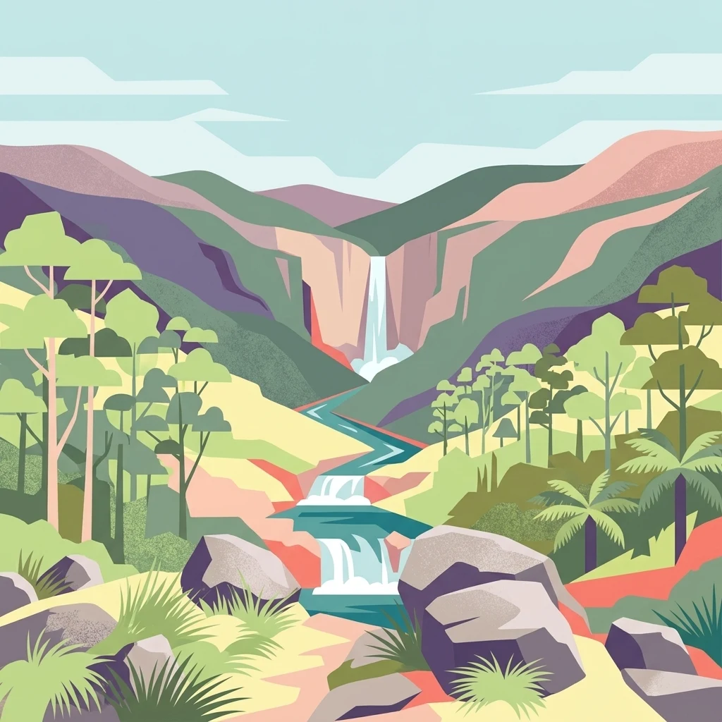
Illustrated view of a waterfall cascading through rocky terrain with forested mountains and a river

Alpine wilderness and Gondwana rainforest on the Barrington Tops plateau

Barrington Tops National Park

Barrington Tops National Park is a protected wilderness area in the Hunter Valley region of New South Wales, Australia. Gazetted in 1969, the park encompasses approximately 76,500 hectares of mountainous terrain forming part of the Mount Royal Range, a spur of the Great Dividing Range. The park protects a remarkable ecological gradient, transitioning from subtropical rainforests in the sheltered gullies at lower elevations through temperate woodlands to subalpine and alpine environments on the exposed peaks. This diversity, combined with the region's ancient geological heritage dating back 300 to 400 million years, makes Barrington Tops one of Australia's most botanically significant protected areas. The park forms a core component of the Gondwana Rainforests of Australia World Heritage Site, inscribed in 1986, recognizing its outstanding universal value as a living repository of ancient plant lineages.

Location
Australia
Park type
National park
Established
1969
Area
765.1 km²
Highest point
1,586 m
Barrington Tops National Park Atlas

Compare dated epicentres and source measurements around the Barrington plateau and river country

Explore earthquake catalogue entries around Barrington Tops National Park

Set earthquake observations around Barrington Tops National Park against a 765.12 km² mountain landscape of plateau, valleys, forest and rivers; Filters organise source records by date, magnitude, depth and distance from the park. Epicentre proximity is geographic context only: it neither places an event inside the boundary nor demonstrates volcanic links, environmental damage, current danger or future activity.

Sort by
Magnitude
Location

This page describes catalogued earthquakes associated with the park by epicentre location and distance. It does not establish causation, assess current danger, or predict future earthquakes.

No earthquake records match the current filters

Park atlas

Expand discovery beyond the Barrington Tops National Park earthquake catalogue

Find more protected parks after Barrington Tops National Park

A distinct group of protected park pages offers the next atlas step after the Barrington Tops National Park earthquake records. These destinations are not represented as sharing plateau landscapes, Australian geography, legal status, earthquake observations, geology, nearby locations, seismic relevance, or hazards.
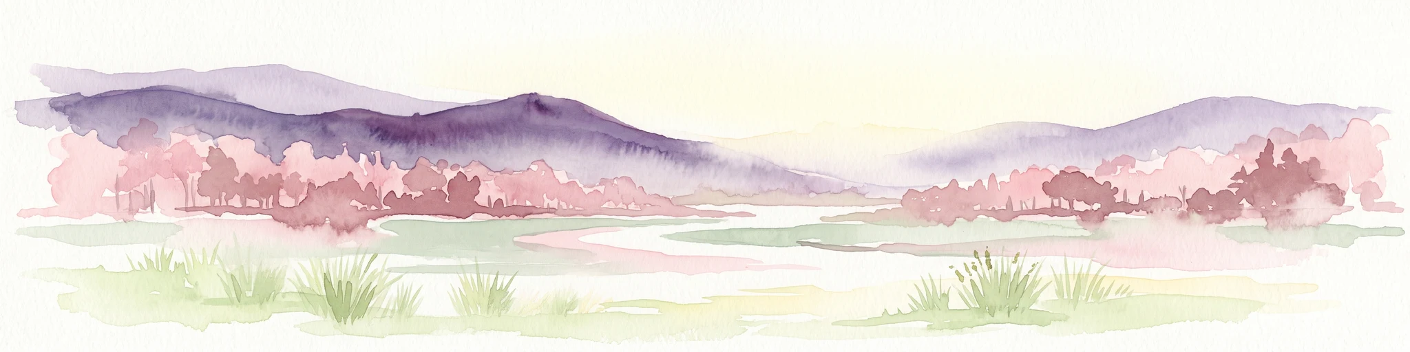
A horizontal watercolor painting depicting a soft landscape with distant purple hills, a meandering stream, and green grassy foreground vegetation.
Protected areaNew South Wales
Park boundaries overlap#1 closest

Northwest

Barrington Tops State Conservation Area: Protected Plateau and Volcanic Landscape Context

Highland geography within the Mount Royal Range, New South Wales

This protected area represents a significant upland region in New South Wales, characterized by weathered plateau edges and cool mountain environments. The terrain supports high-altitude peat wetlands and diverse montane forests, rooted in the ancient geological legacy of the Barrington Volcano. Its protected boundaries link directly to the Gondwana Rainforests, providing essential habitat continuity across the Great Dividing Range.

Area
84.46 km²
Established
2003
Relief
Mountain
Climate
Temperate
National parkNew South Wales
Park boundaries overlap#2 closest

Southwest

Mount Royal National Park: A National Park in New South Wales for Geographic Discovery

Explore its protected boundaries and landscape context.

Mount Royal National Park is a key protected area in New South Wales, offering an opportunity to delve into its specific geographic identity and mapped landscape features. As a national park, it provides structured data for understanding protected lands within Australia. This detailed entry supports exploration of the park's unique regional context and its contribution to the broader atlas of natural landscapes.

Area
69 km²
Established
1997
IUCN
II
Relief
Mountain
A horizontal watercolor painting showing rolling green hills and a forest with soft pink and green tones.
Nature reserveNew South Wales
5.2 km away#3 closest

Southeast

Black Bulga State Conservation Area: Forest Geography and Protected Area Overview

A vital ecological refuge in the Hunter Region of New South Wales

Black Bulga State Conservation Area encompasses a diverse bushland mosaic of Sydney blue gum, tallowwood, and subtropical rainforest patches. This reserve highlights the abrupt shifts in terrain and vegetation typical of the Barrington Tops foothills, providing a stable habitat for koalas and various marsupials within its protected boundaries.

Area
15.54 km²
Established
2003
IUCN
Ia
Relief
Upland
A soft watercolor painting of a forest landscape with slender trees and grasses, rendered in light green, pink, and neutral tones.
State or regional parkNew South Wales
11 km away#4 closest

East

Copeland Tops State Conservation Area: Geography and Protected Land Overview in New South Wales

Mapping forest ecosystems and historic industrial relic landscapes.

Copeland Tops State Conservation Area provides a distinct look at the Hunter Region landscape, offering an unusual blend of dry rainforests with massive Moreton Bay figs and red cedar alongside expansive wet sclerophyll forests. The reserve functions as an essential habitat for koalas, wombats, and greater gliders, while the Mountain Maid gold mine remnants offer insight into the local nineteenth century history hidden within these sheltered valleys.

Area
22.01 km²
Established
2003
Relief
Upland
Scope
Terrestrial
National parkNew South Wales
19 km away#5 closest

Northeast

Woko National Park: Explore Its Protected Landscape and Geographic Boundaries

Discover the mapped terrain and regional atlas context of Woko National Park.

Woko National Park presents a unique opportunity for geographic discovery, situated within New South Wales, Australia. This detail page focuses on the park's protected landscape and its mapped boundaries, providing a clear understanding of its geographic identity. Engage with Woko National Park as a key component of the Australian national park atlas, highlighting its regional setting and natural terrain.

Area
85.98 km²
Established
1982
IUCN
II
Relief
Highland
Nature reserveNew South Wales
About 29 km away#6 closest

East

The Glen Nature Reserve: Protected Forest Geography and Mapped Sanctuary in New South Wales

Conservation-focused landscape in the Hunter Region

Covering over 2,700 hectares, The Glen Nature Reserve protects a rich mosaic of sub-tropical sclerophyll forest and creek-lined gullies in the Hunter Region. The reserve provides essential habitat for threatened wildlife and represents a key node in the protected land network of eastern New South Wales, highlighting the intersection of forest types and local watershed topography.

Area
27.5 km²
Established
1999
IUCN
Ia
Relief
Upland
National parkNew South Wales
32 km away#7 closest

North

Nowendoc National Park: Protected Area Identity and New South Wales Geography

Mapping the natural landscapes and protected boundaries within this national park.

Nowendoc National Park in New South Wales, Australia, offers a distinct protected landscape for atlas-driven discovery. This entry provides critical geographic context, detailing the park's mapped boundaries and its place within the regional terrain. Explore the specific identity of Nowendoc National Park as a protected natural area, crucial for understanding Australian conservation landscapes and geographic context.

Area
88 km²
Established
1999
IUCN
II
Relief
Upland
Nature reserveNew South Wales
About 32 km away#8 closest

Northeast

Bretti Nature Reserve: Geography and Protected Escarpment Landscapes in New South Wales

Mapped riverine corridors and wet forest ecosystems

Bretti Nature Reserve serves as a vital conservation anchor in the Hunter Region, protecting a rare mix of subtropical rainforest and wet sclerophyll forest. This detailed record maps the reserve's position along the Bernard River, illustrating its role as a landscape-scale link within the Great Eastern Escarpment's diverse mountain terrain.

Area
29.02 km²
Established
1999
IUCN
Ia
Relief
Mountain
MoriAtlas Explorer

Continue Exploring Barrington Tops National Park's Protected Geography

Venture deeper into the mapped landscape of Barrington Tops National Park to understand its complex ecosystems and geographic significance. Discover the unique features of this protected area, from its ancient rainforests to its dramatic mountainous terrain. This detailed exploration provides essential context for understanding protected lands and their role within regional geography.

Global natural geography